Rubha Bhuailte
Coastal Feature, Headland, Point in Inverness-shire
Scotland
Rubha Bhuailte
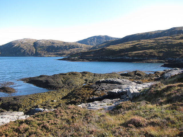
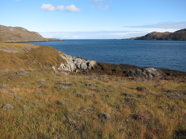
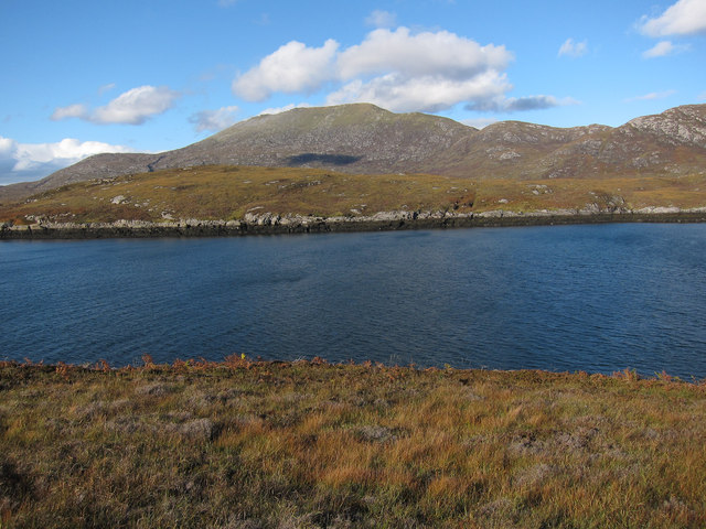
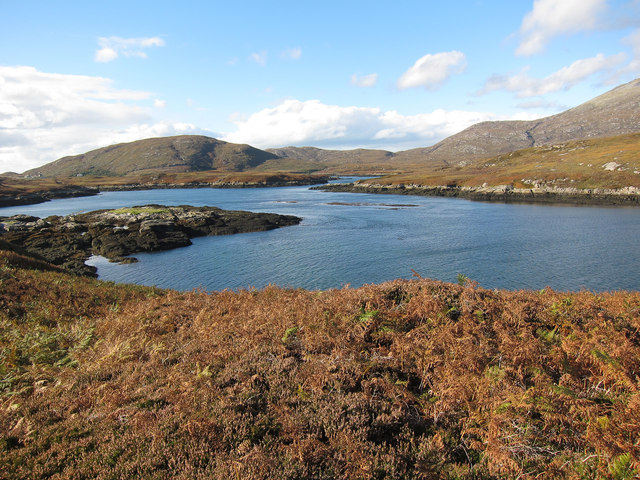
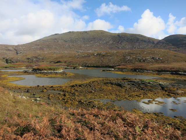
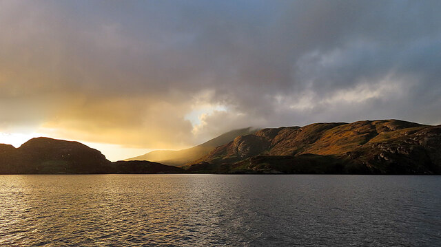
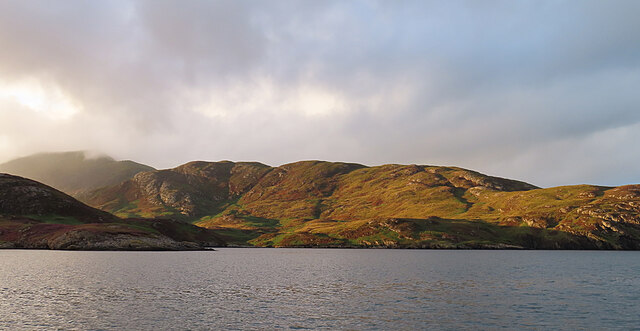
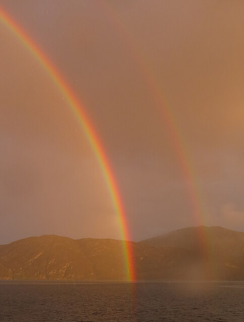
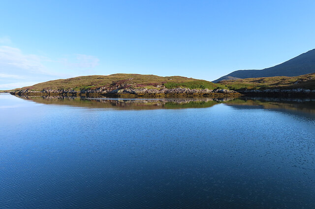
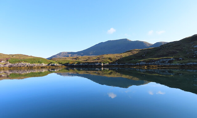
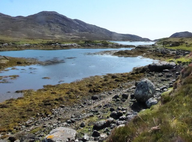
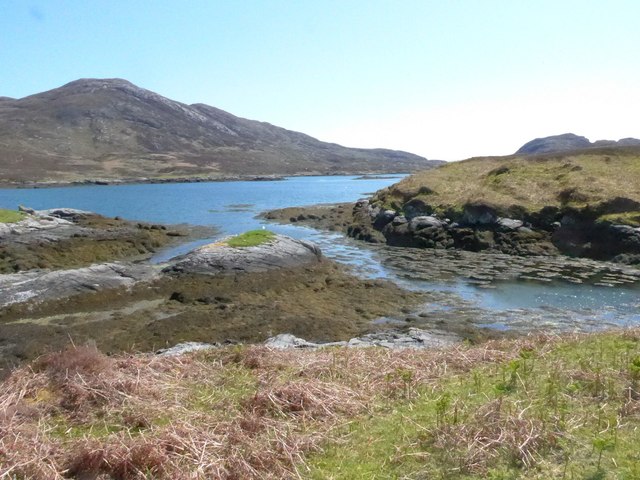
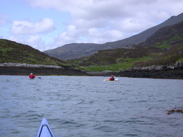
Rubha Bhuailte is a prominent headland located in Inverness-shire, Scotland. Situated along the coastline, this coastal feature offers breathtaking views and is known for its rugged beauty. The headland juts out into the North Atlantic Ocean, providing a vantage point for visitors to take in the surrounding landscape.
The name Rubha Bhuailte translates to "striking point" in Gaelic, which accurately describes the dramatic nature of this location. The headland is characterized by steep cliffs that rise from the sea, creating a sense of grandeur and awe. These cliffs are weathered by the constant battering of the ocean waves, which has shaped them into unique formations over time.
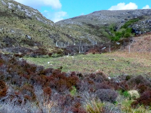
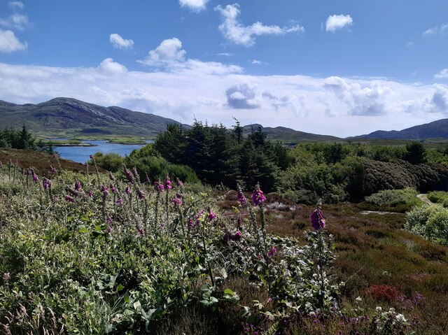
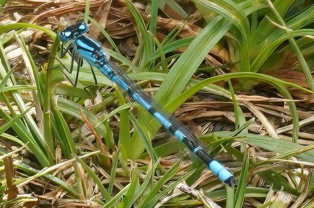
The headland is also home to a diverse range of flora and fauna. The rocky terrain supports a variety of plant species, including heather, sea thrift, and Scottish primrose. These plants provide a burst of color against the backdrop of the rugged cliffs. Seabirds such as puffins, guillemots, and gannets can be spotted nesting in the cliffs, adding to the area's natural charm.
In addition to its natural beauty, Rubha Bhuailte is of historical significance. The headland is believed to have been inhabited since ancient times, with archaeological remains indicating human presence dating back thousands of years. Ruins of a medieval chapel can also be found here, serving as a reminder of the area's religious past.
Overall, Rubha Bhuailte is a captivating coastal feature that showcases the power and beauty of nature. Its striking cliffs, diverse wildlife, and historical significance make it a must-visit destination for nature enthusiasts and history buffs alike.
If you have any feedback on the listing, please let us know in the comments section below.
Rubha Bhuailte Images
Images are sourced within 2km of 57.23412/-7.3103144 or Grid Reference NF7928. Thanks to Geograph Open Source API. All images are credited.
Rubha Bhuailte is located at Grid Ref: NF7928 (Lat: 57.23412, Lng: -7.3103144)
Unitary Authority: Na h-Eileanan an Iar
Police Authority: Highlands and Islands
What 3 Words
///face.disbanded.whites. Near Lochboisdale, Na h-Eileanan Siar
Nearby Locations
Related Wikis

Beinn Mhòr (South Uist)
Beinn Mhòr is a mountain on the island of South Uist in the Outer Hebrides of Scotland. With a height of 620 metres (2,034 ft), it is the highest point...

South Uist
South Uist (Scottish Gaelic: Uibhist a Deas, [ˈɯ.ɪʃtʲ ə ˈtʲes̪] ; Scots: Sooth Uist) is the second-largest island of the Outer Hebrides in Scotland. At...

Milton (South Uist)
Milton (Scottish Gaelic: Geàrraidh Bhailteas) is the name of a tack or tenant farm on the island of South Uist in the Outer Hebrides, Scotland. It was...

Bornish
Bornish (Scottish Gaelic: Bòrnais) is a village and community council area on South Uist in the Outer Hebrides, Scotland. Bornish is also within the civil...
Related Videos

Beinn Mhòr South Uist Ooter Hebs 💚🏴💚
Music - Beluga Lagoon - Grow.
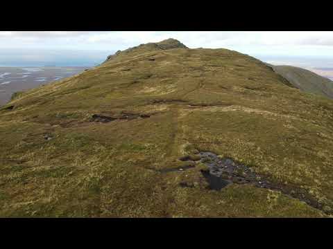
stunning 4k drone footage from Beinn Mhòr on South uist
follow me on instragram https://www.instagram.com/hiking_and_biking/ click below to save on your electricity and gas and get £50 ...
Nearby Amenities
Located within 500m of 57.23412,-7.3103144Have you been to Rubha Bhuailte?
Leave your review of Rubha Bhuailte below (or comments, questions and feedback).