Rubha Ruairidh

Coastal Feature, Headland, Point in Inverness-shire

Scotland

Rubha Ruairidh

Houses at Samhla
Houses at Samhla Credit: Sandy Gerrard

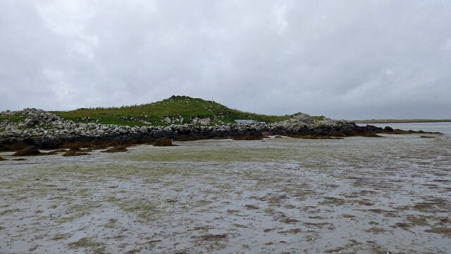
Rubha Ruairidh is a picturesque coastal headland located in Inverness-shire, Scotland. Situated on the western coast of Scotland, this prominent point juts out into the Atlantic Ocean, offering breathtaking views and a tranquil atmosphere.

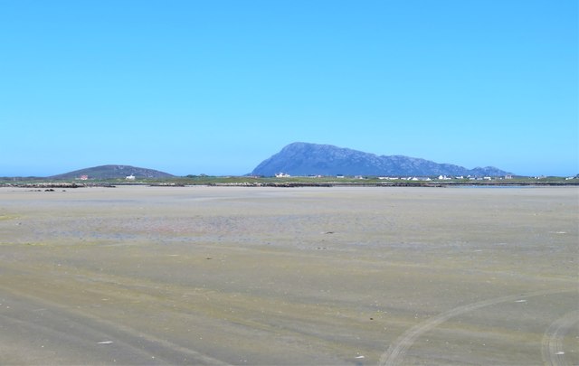
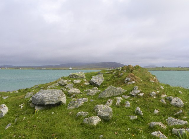
The headland is characterized by its rugged cliffs, which rise dramatically from the sea, creating an awe-inspiring sight. These cliffs are composed mainly of ancient rocks, including sandstone and limestone, which have been shaped over millions of years by the powerful forces of erosion. The continuous battering of the waves has formed caves, arches, and stacks along the coastline, adding to the area's natural beauty.

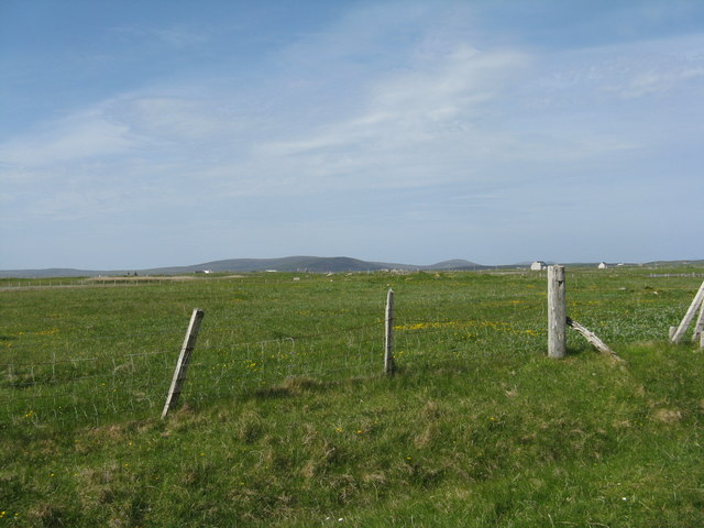
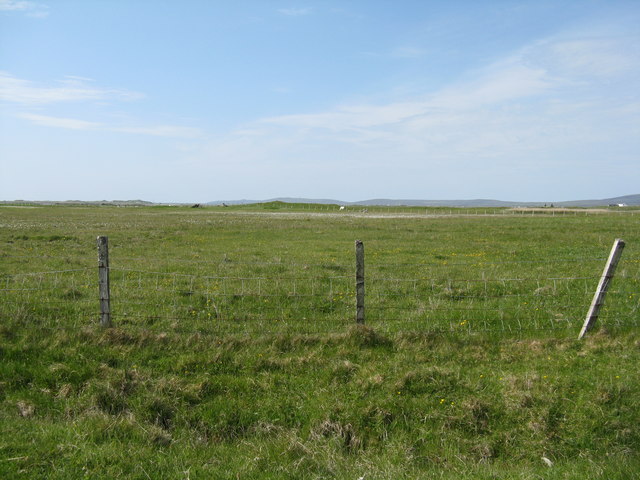
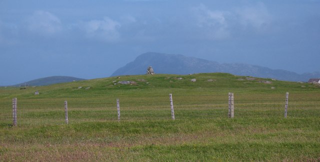
The surrounding landscape is a combination of grassy slopes and heathland, adorned with a variety of wildflowers and hardy shrubs. The headland is also home to a diverse array of wildlife, including seabirds such as gannets, fulmars, and puffins, which nest along the cliffs. Dolphins and seals can often be spotted frolicking in the waters offshore, adding to the enchanting experience.

Rubha Ruairidh is a popular destination for nature lovers, hikers, and birdwatchers. There are several walking trails that wind their way along the headland, providing visitors with stunning panoramas of the coastline and the surrounding countryside. The area is also a great spot for fishing, with anglers often trying their luck from the rocky shoreline.

Whether it's the dramatic cliffs, the diverse wildlife, or the peaceful ambiance, Rubha Ruairidh is a place that captivates all who visit, offering a glimpse into the untamed beauty of the Scottish coast.

If you have any feedback on the listing, please let us know in the comments section below.

Rubha Ruairidh Images

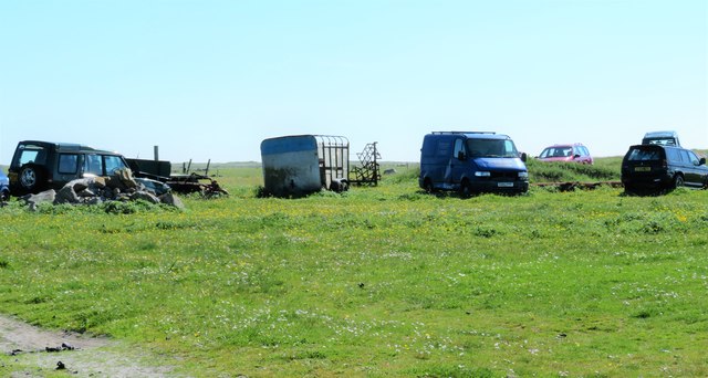
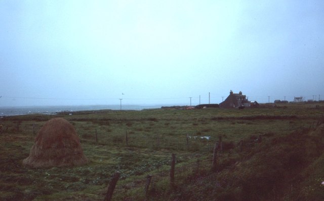
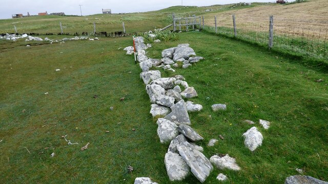
Images are sourced within 2km of 57.541787/-7.3567713 or Grid Reference NF7962. Thanks to Geograph Open Source API. All images are credited.
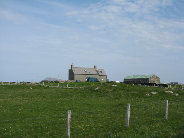
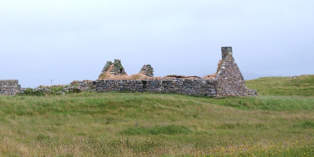
Houses at Samhla
Houses at Samhla
Clachan Stores What was a decent general store at the Clachan Junction until a couple of years ago is trading no more. The caravan that was parked in the driveway in 2007 <a href="https://www.geograph.org.uk/photo/445214">NF8164 : Clachan Stores</a> is still in place though...
Clachan Stores
What was a decent general store at the Clachan Junction until a couple of years ago is trading no more. The caravan that was parked in the driveway in 2007 NF8164 : Clachan Stores is still in place though...
Baleshare - North Uist Causeway Looking east from Samhla to North Uist. Interestingly, although both sides are open to the sea, there is water to the south but it was dry on the north.
Baleshare - North Uist Causeway
Looking east from Samhla to North Uist. Interestingly, although both sides are open to the sea, there is water to the south but it was dry on the north.
Shore at Samhla Looking south from the west end of the causeway.
Shore at Samhla
Looking south from the west end of the causeway.
Farmhouse on Baleshare The peak in the distance, to the left, is Eaval on North Uist.
Farmhouse on Baleshare
The peak in the distance, to the left, is Eaval on North Uist.
Pasture on Baleshare/Baile Sear Looking northeast from the road to Teanna Mhachair on the west side of the island. The high land beyond will be on North Uist.
Pasture on Baleshare/Baile Sear
Looking northeast from the road to Teanna Mhachair on the west side of the island. The high land beyond will be on North Uist.
Machair on Baleshare/Baile Sear Looking northwest to a slight rise in the ground, on which there are the remains of a Dun.
Machair on Baleshare/Baile Sear
Looking northwest to a slight rise in the ground, on which there are the remains of a Dun.
A sandy island surrounded by sand This is the part of the extensive area of tidal sand on the east side of Baile Sear island. The sand must be firm due to the number of vehicle tyre tracks across it. Looking due east towards the profile of Eabhal.
A sandy island surrounded by sand
This is the part of the extensive area of tidal sand on the east side of Baile Sear island. The sand must be firm due to the number of vehicle tyre tracks across it. Looking due east towards the profile of Eabhal.
Vehicle graveyard Baile Sear Vehicles are rather like dwellings on the Western Isles. When no longer wanted, they are simply left to rot out in the elements.
Vehicle graveyard Baile Sear
Vehicles are rather like dwellings on the Western Isles. When no longer wanted, they are simply left to rot out in the elements.
Cladach Iolaraigh West side of North Uist
Cladach Iolaraigh
West side of North Uist
Carnan Nan Long chambered cairn Neolithic chambered cairn on the coastline. <span class="nowrap"><a title="https://canmore.org.uk/site/10005/north-uist-baleshare-carnan-nan-long" rel="nofollow ugc noopener" href="https://canmore.org.uk/site/10005/north-uist-baleshare-carnan-nan-long">Link</a><img style="margin-left:2px;" alt="External link" title="External link - shift click to open in new window" src="https://s1.geograph.org.uk/img/external.png" width="10" height="10"/></span>
Carnan Nan Long chambered cairn
Neolithic chambered cairn on the coastline. LinkExternal link
Field wall next to beach on Baile Sear Walls were often erected to prevent stock on beaches getting onto adjacent arable ground (Scale 1m).
Field wall next to beach on Baile Sear
Walls were often erected to prevent stock on beaches getting onto adjacent arable ground (Scale 1m).
Chambered cairn on Baleshare Neolithic chambered tomb on the northern coast of Baleshare island.
Chambered cairn on Baleshare
Neolithic chambered tomb on the northern coast of Baleshare island.
Old crofting settlement, Balilleray An extensive area of old walls and ruined crofts at Balilleray on Baleshare island. The settlement was abandoned [or possible cleared] in the 19th century.
Old crofting settlement, Balilleray
An extensive area of old walls and ruined crofts at Balilleray on Baleshare island. The settlement was abandoned [or possible cleared] in the 19th century.
Cairn on Baleshare The cairn stands on one of the highest points of this low lying island, and lines up nicely with the distant summit of Eabhal.
Cairn on Baleshare
The cairn stands on one of the highest points of this low lying island, and lines up nicely with the distant summit of Eabhal.
Ruined croft Baleshare Ruined croft cottage on Baleshare. This looks to be a 19th century structure as it has chimneys and is not the same style as a blackhouse.
Ruined croft Baleshare
Ruined croft cottage on Baleshare. This looks to be a 19th century structure as it has chimneys and is not the same style as a blackhouse.
Baleshare: postbox № HS6 31 The island's postbox stands at the very start of the island, in terms of the road which arrives on it along the causeway from North Uist.
Baleshare: postbox № HS6 31
The island's postbox stands at the very start of the island, in terms of the road which arrives on it along the causeway from North Uist.
Baleshare: a red telephone box This phone box stands in a little enclosure, accessed by this gate. But the pathway is so overgrown it would have to be a real emergency call to entice anyone to try to get inside - especially since the door is on the far side!

I did manage to get as far as the window and it does still have a phone ... and I also found something else inside... see <a href="https://www.geograph.org.uk/photo/3115010">NF7862 : Baleshare: a bird trapped in a phone box</a>.
Baleshare: a red telephone box
This phone box stands in a little enclosure, accessed by this gate. But the pathway is so overgrown it would have to be a real emergency call to entice anyone to try to get inside - especially since the door is on the far side! I did manage to get as far as the window and it does still have a phone ... and I also found something else inside... see NF7862 : Baleshare: a bird trapped in a phone box.
Show me another place!

Rubha Ruairidh is located at Grid Ref: NF7962 (Lat: 57.541787, Lng: -7.3567713)

Unitary Authority: Na h-Eileanan an Iar

Police Authority: Highlands and Islands

What 3 Words

///areas.answers.regulates. Near Balivanich, Na h-Eileanan Siar

Related Wikis

Baleshare

Baleshare (Scottish Gaelic: Baile Sear) is a flat tidal island in the Outer Hebrides of Scotland. Baleshare lies to the south-west of North Uist. Its economics...

Teampull na Trionaid

Teampull na Trionaid ("trinity church") is a ruined 13th-century Augustinian nunnery at Carinish, on North Uist, in the Outer Hebrides of Scotland. �...

Battle of Carinish

The Battle of Carinish was a Scottish clan battle fought in North Uist in 1601. It was part of a year of feuding between Clan MacLeod of Dunvegan and the...

Carinish

Carinish (Scottish Gaelic: Càirinis), is a hamlet on North Uist, in the Outer Hebrides, Scotland. It is in the south of the island, about two miles (three...

Nearby Amenities

Located within 500m of 57.541787,-7.3567713
Passing Place
Lat/Long: 57.5412802/-7.3499508
Samhla
Place: hamlet
Lat/Long: 57.5387373/-7.3535443
Passing Place
Lat/Long: 57.5386196/-7.3527011
Power: pole
Lat/Long: 57.5415561/-7.348725
Power: pole
Lat/Long: 57.5413718/-7.3499024
Power: pole
Lat/Long: 57.5411501/-7.3512918
Power: pole
Lat/Long: 57.5409601/-7.3526222
Power: pole
Lat/Long: 57.5408205/-7.3533035
Power: pole
Lat/Long: 57.5407485/-7.3537192
Power: pole
Lat/Long: 57.5405585/-7.3547572
Power: pole
Lat/Long: 57.5404721/-7.3553071
Power: pole
Lat/Long: 57.5402706/-7.3563612
Power: pole
Lat/Long: 57.5400676/-7.3575307
Power: pole
Lat/Long: 57.5398099/-7.3589683
Power: pole
Lat/Long: 57.5395853/-7.3601699
Power: pole
Lat/Long: 57.5393363/-7.3615888
Power: pole
Lat/Long: 57.5391304/-7.3626617
Power: pole
Lat/Long: 57.5375884/-7.353829
Power: pole
Lat/Long: 57.5379857/-7.3540114
Power: pole
Lat/Long: 57.5383413/-7.3534213
Power: pole
Lat/Long: 57.539909/-7.3550038
Power: pole
Lat/Long: 57.5392252/-7.3546766
Power: pole
Lat/Long: 57.5386062/-7.3543387
Post Box
Collection Times: Mo-Fr 09:30; Sa 09:00
Operator: Royal Mail
Post Box Mounting: pole
Post Box Type: lamp
Ref: HS6 31
Royal Cypher: scottish_crown
Lat/Long: 57.540698/-7.3525411
The data included in this document is from www.openstreetmap.org. The data is made available under ODbL.

Have you been to Rubha Ruairidh?

Leave your review of Rubha Ruairidh below (or comments, questions and feedback).