Samhla
Settlement in Inverness-shire
Scotland
Samhla

Samhla is a small village located in Inverness-shire, a county in the Scottish Highlands. Situated amidst stunning natural landscapes, Samhla offers a tranquil and picturesque setting for residents and visitors alike. The village is nestled between rolling hills and overlooks the beautiful River Ness, providing breathtaking views of the surrounding countryside.
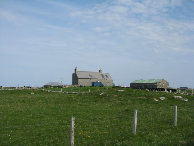
With a population of approximately 500 people, Samhla has a close-knit community that takes pride in preserving its rich history and culture. The village is known for its traditional Highland architecture, with many buildings featuring stone walls and thatched roofs, adding to its charm and character.
Samhla is a popular destination for outdoor enthusiasts, as it provides easy access to a range of recreational activities. The surrounding area offers ample opportunities for hiking, mountain biking, and fishing, with several notable trails and fishing spots nearby. The village is also a gateway to the renowned Loch Ness, where visitors can explore the famous Loch Ness Monster legend and enjoy boat trips on the lake.
Despite its small size, Samhla has a few local amenities to cater to residents and visitors, including a village shop, a pub, and a community center. The village hosts regular events and festivals throughout the year, showcasing traditional Scottish music, dance, and crafts.
Overall, Samhla is a hidden gem in Inverness-shire, offering a peaceful escape from the bustling cities and a chance to immerse oneself in Scotland's natural beauty and cultural heritage.
If you have any feedback on the listing, please let us know in the comments section below.
Samhla Images
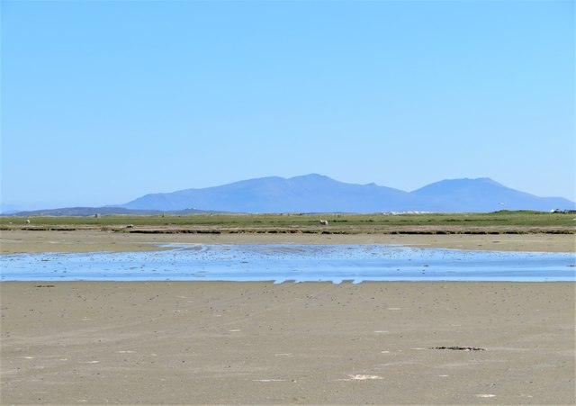
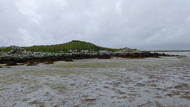
Images are sourced within 2km of 57.535593/-7.3496355 or Grid Reference NF7962. Thanks to Geograph Open Source API. All images are credited.


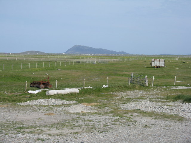
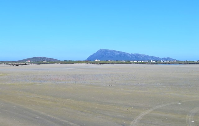
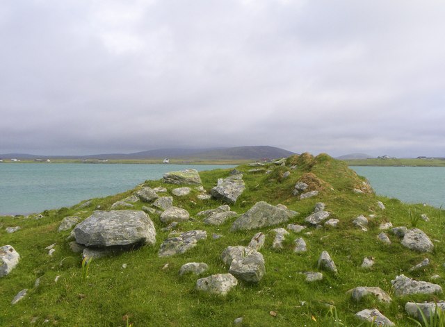
![Machair fields at Sloch Sabhaidh On the flat sandy island of Baleshare/Baile Sear. The distant hill is Eaval on North Uist [11.5km].](https://s3.geograph.org.uk/geophotos/05/02/57/5025707_6baed3b6.jpg)
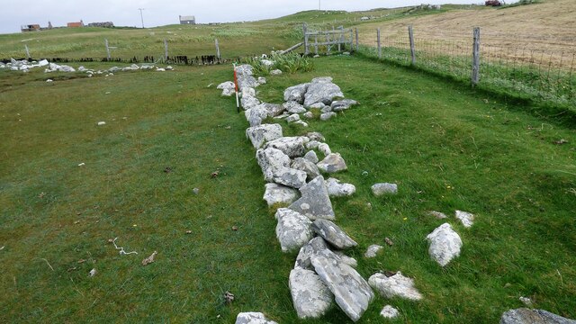
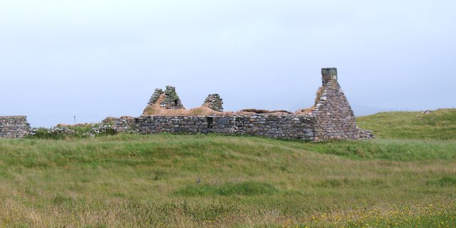
![Old crofting settlement, Balilleray An extensive area of old walls and ruined crofts at Balilleray on Baleshare island. The settlement was abandoned [or possible cleared] in the 19th century.](https://s1.geograph.org.uk/geophotos/03/06/37/3063773_94e17380.jpg)

Samhla is located at Grid Ref: NF7962 (Lat: 57.535593, Lng: -7.3496355)
Unitary Authority: Na h-Eileanan an Iar
Police Authority: Highlands and Islands
What 3 Words
///serenade.yarn.recruited. Near Balivanich, Na h-Eileanan Siar
Nearby Locations
Related Wikis

Baleshare
Baleshare (Scottish Gaelic: Baile Sear) is a flat tidal island in the Outer Hebrides of Scotland. Baleshare lies to the south-west of North Uist. Its economics...

Teampull na Trionaid
Teampull na Trionaid ("trinity church") is a ruined 13th-century Augustinian nunnery at Carinish, on North Uist, in the Outer Hebrides of Scotland. �...

Battle of Carinish
The Battle of Carinish was a Scottish clan battle fought in North Uist in 1601. It was part of a year of feuding between Clan MacLeod of Dunvegan and the...

Carinish
Carinish (Scottish Gaelic: Càirinis), is a hamlet on North Uist, in the Outer Hebrides, Scotland. It is in the south of the island, about two miles (three...
Nearby Amenities
Located within 500m of 57.535593,-7.3496355Have you been to Samhla?
Leave your review of Samhla below (or comments, questions and feedback).