Salwick
Settlement in Lancashire Fylde
England
Salwick

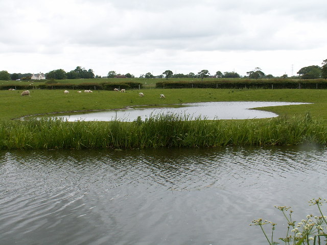
Salwick is a small village located in Lancashire, England. Situated approximately 8 miles south of the city of Preston, it falls within the administrative boundaries of Fylde Borough Council. The village is surrounded by beautiful countryside, offering residents and visitors a tranquil and picturesque setting.
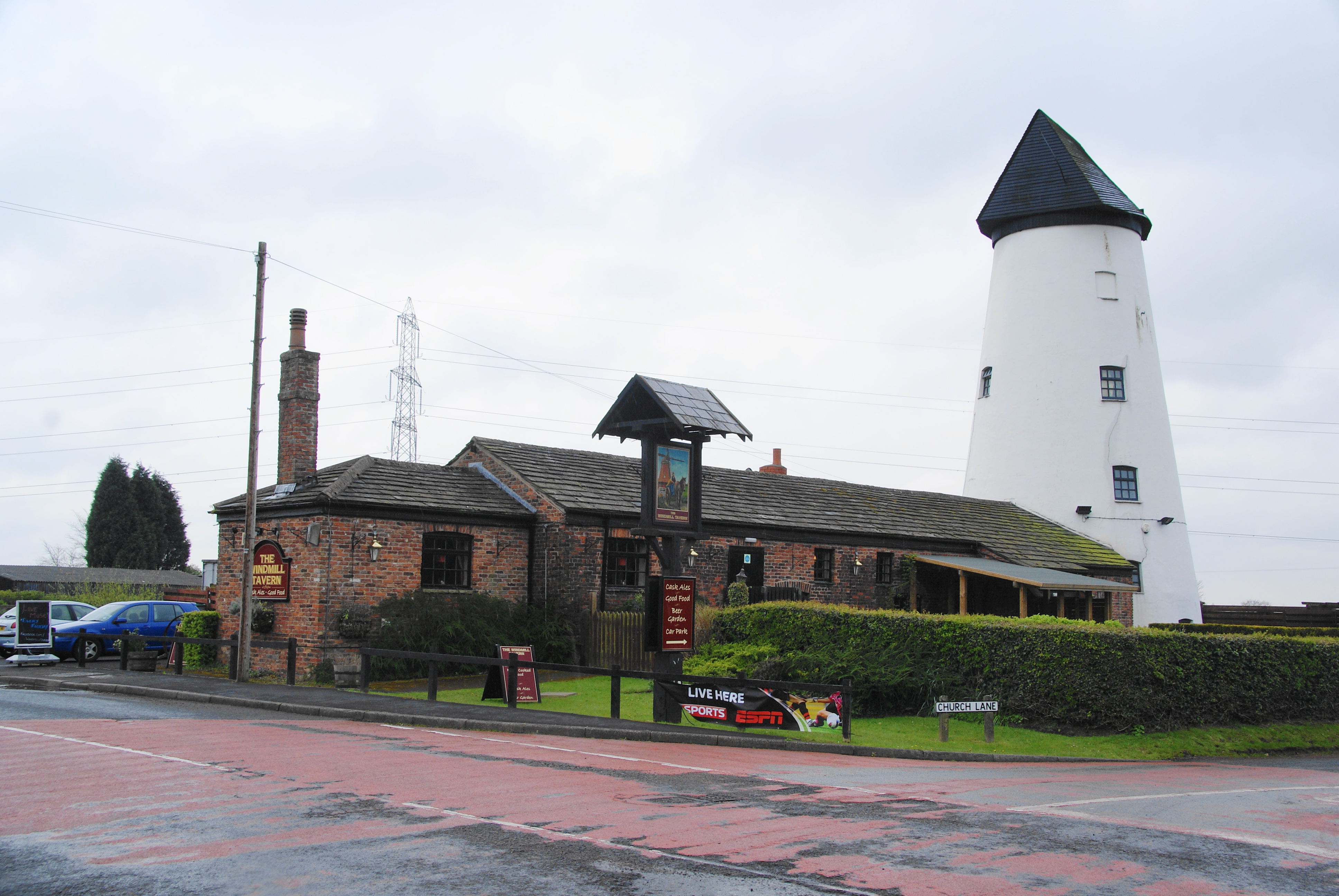
Salwick is known for its strong agricultural heritage, with farming playing a significant role in the local economy. The village is dotted with charming farmhouses and barns, showcasing the traditional rural character of the area. Additionally, there are a few small businesses and shops catering to the needs of the local community.
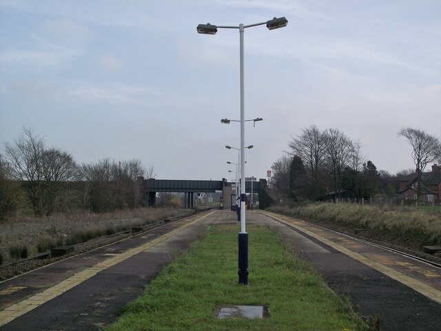
Transportation in Salwick is well-connected, thanks to the presence of Salwick railway station. This allows easy access to nearby towns and cities, making it a desirable location for commuters. The village is also conveniently located near major road networks, including the M55 motorway, providing excellent connectivity to other parts of Lancashire and beyond.
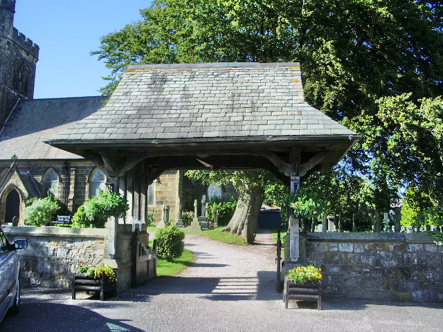
While Salwick is predominantly residential, there are a few amenities within close proximity. It boasts a primary school, providing education for local children, and a village hall that serves as a community hub for various events and gatherings. The village is also home to a charming church, which serves as a focal point for religious activities and social events.
Overall, Salwick offers a peaceful and idyllic countryside lifestyle, with its strong community spirit and convenient transport links making it an attractive place to live or visit.
If you have any feedback on the listing, please let us know in the comments section below.
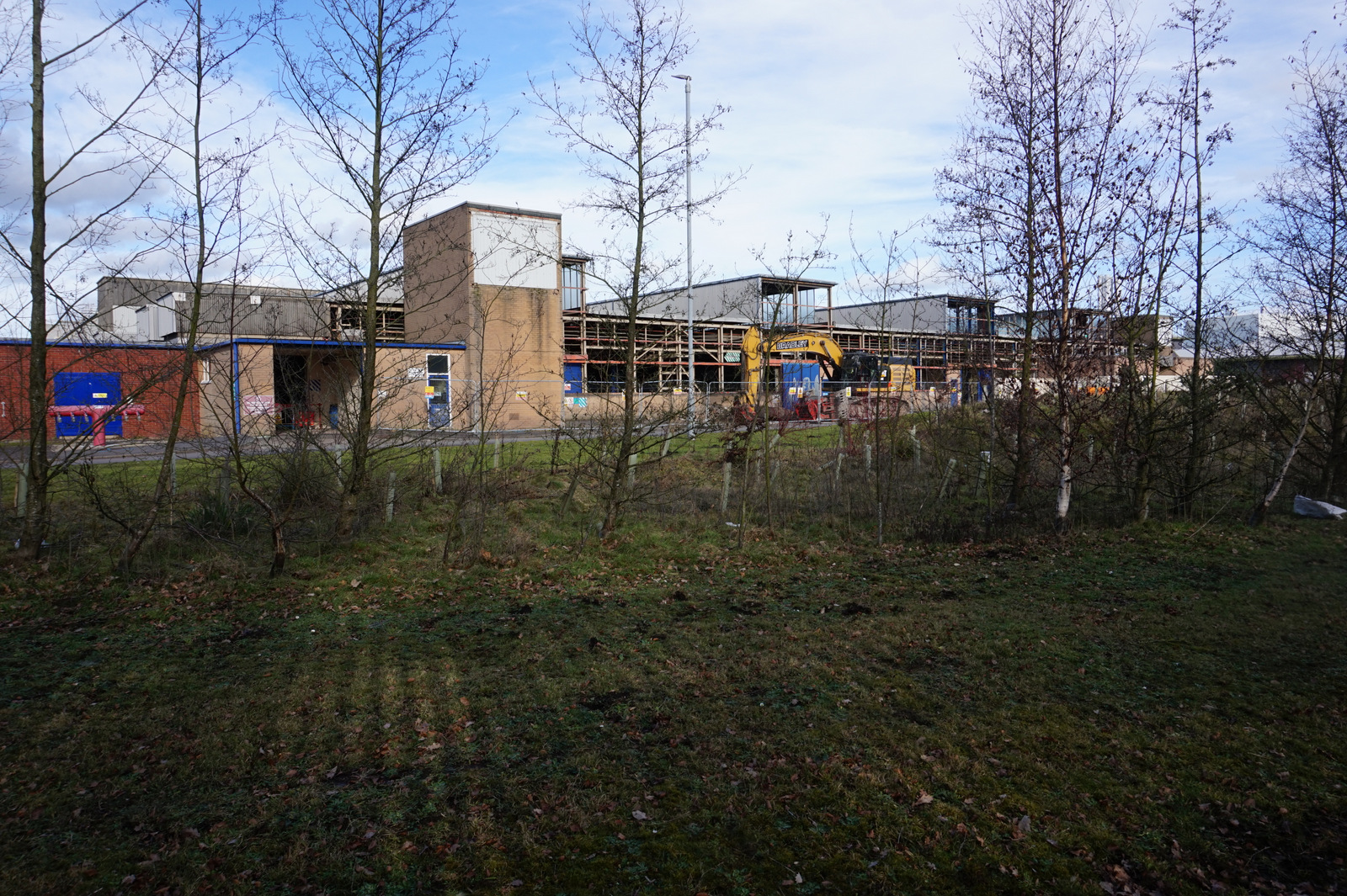
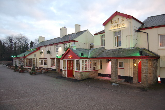
Salwick Images
Images are sourced within 2km of 53.780195/-2.8163901 or Grid Reference SD4631. Thanks to Geograph Open Source API. All images are credited.


Salwick is located at Grid Ref: SD4631 (Lat: 53.780195, Lng: -2.8163901)
Administrative County: Lancashire
District: Fylde
Police Authority: Lancashire
What 3 Words
///late.remit.forces. Near Kirkham, Lancashire
Nearby Locations
Related Wikis
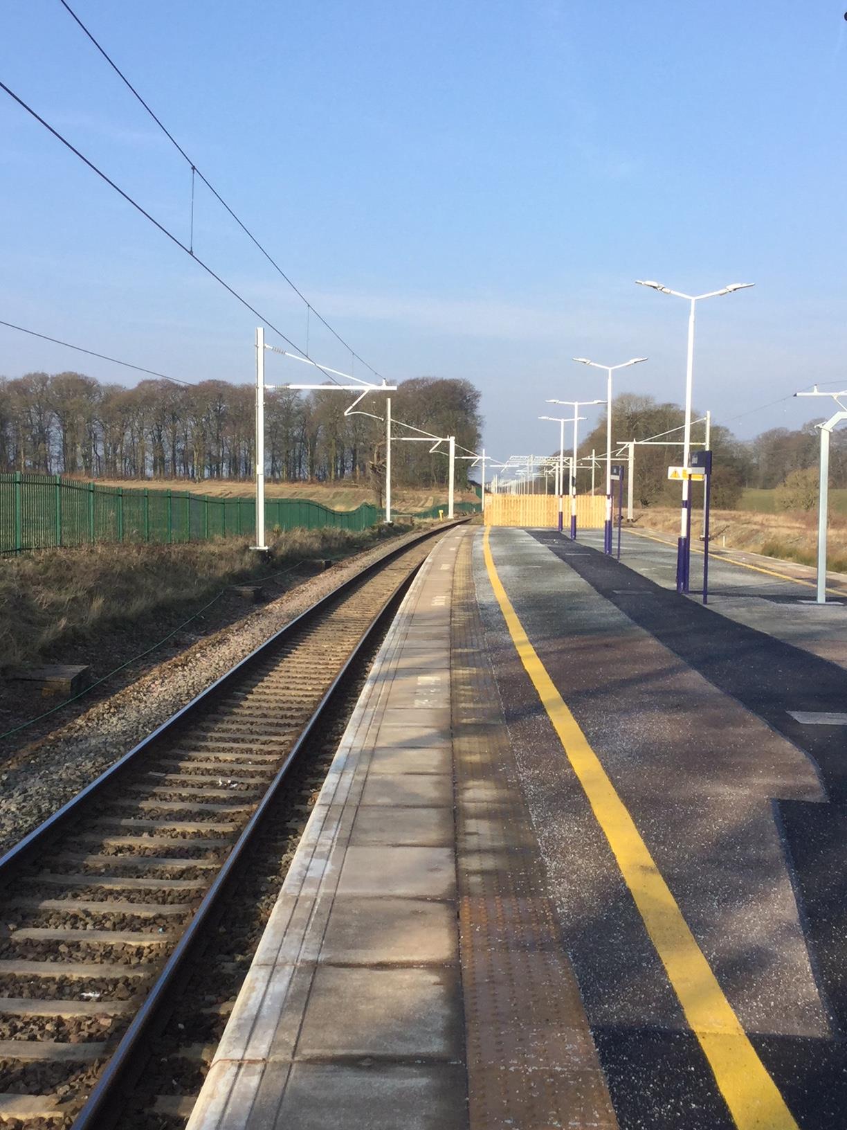
Salwick railway station
Salwick railway station is situated on the Preston-to-Blackpool railway line in England, 5+1⁄4 miles (8.4 km) west of Preston, and is managed by Northern...
Salwick
Salwick is a village between Kirkham and Preston in Lancashire, England. The village is largely rural and is an extension of the smaller Clifton to the...

St John the Evangelist's Church, Clifton
St John the Evangelist's Church, also known as Lund Parish Church, is located on an isolated site near the village of Clifton, Lancashire, England. It...
Springfields
Springfields is a nuclear fuel production installation in Salwick, near Preston in Lancashire, England (grid reference SD468315). The site is currently...
Clifton, Lancashire
Clifton is a village in the English county of Lancashire and in the district of Fylde. The village is part of the civil parish of Newton-with-Clifton....

Lea, Lancashire
Lea ( LEE-ə), Cottam, and Lea Town are villages in the City of Preston, Lancashire, England. Together they form the civil parish of Lea and Cottam, which...
Newton-with-Clifton
Newton-with-Clifton is a civil parish in the Borough of Fylde and ceremonial county of Lancashire in England. It had a population of 2,735 at the 2011...
Newton-with-Scales
Newton-with-Scales is a village and former civil parish, now in the parish of Newton-with-Clifton, in the Fylde district, in the county of Lancashire,...
Nearby Amenities
Located within 500m of 53.780195,-2.8163901Have you been to Salwick?
Leave your review of Salwick below (or comments, questions and feedback).