Arinangallan
Coastal Feature, Headland, Point in Inverness-shire
Scotland
Arinangallan
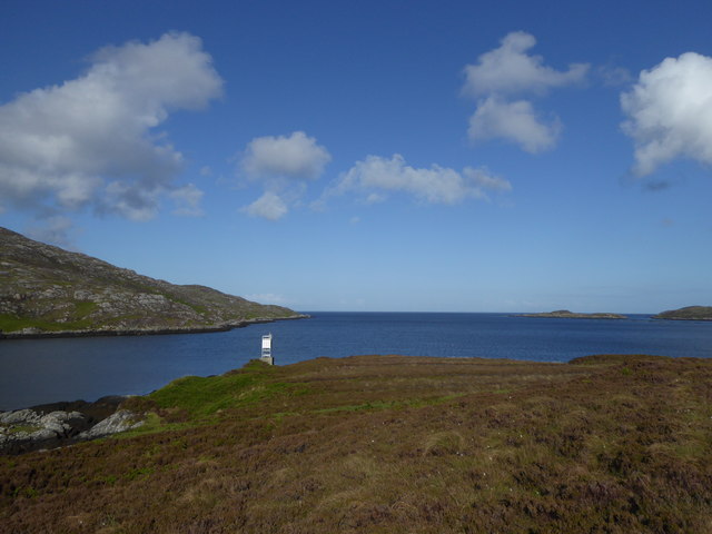
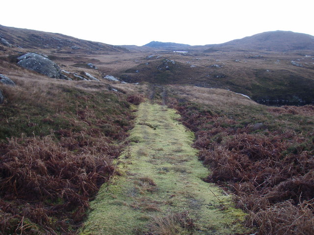
Arinangallan is a prominent coastal feature located in Inverness-shire, Scotland. It is classified as a headland or point, jutting out into the sea and offering stunning views of the surrounding landscape. This geographical formation is situated on the western coast of Scotland, near the town of Ardersier and not far from Inverness.
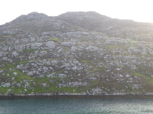
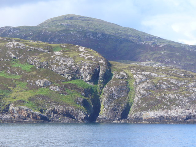
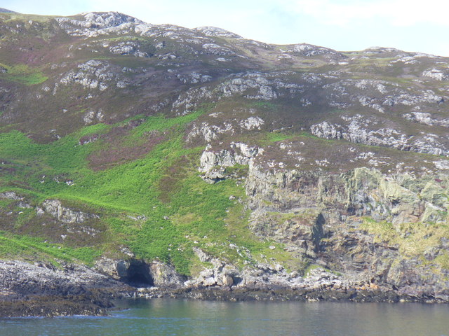
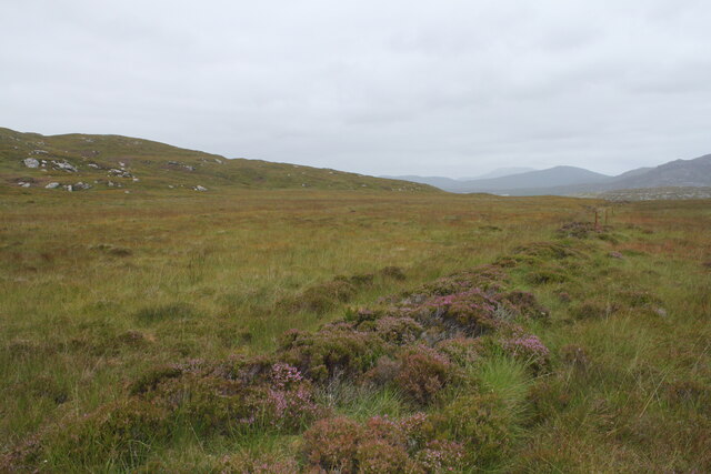
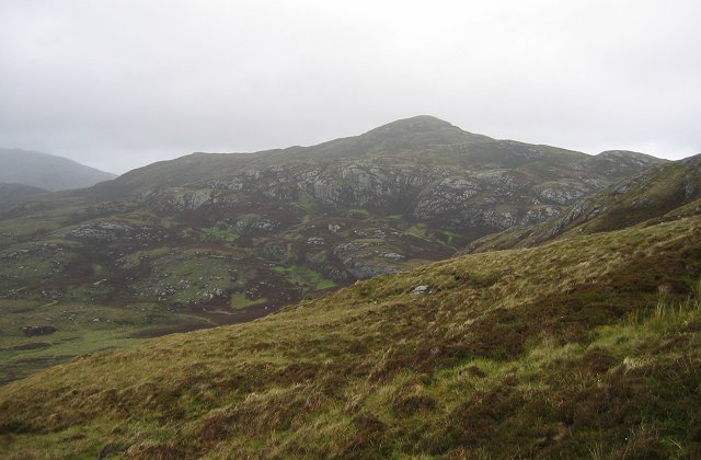
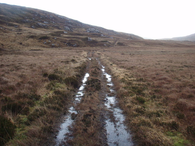
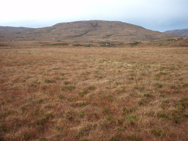
Arinangallan is characterized by its rugged and rocky terrain, rising steeply from the water's edge. Its cliffs are composed of various types of rock, including sandstone and limestone, which have been shaped by years of erosion from the crashing waves and coastal weather conditions. The headland is also home to a diverse array of plant and animal species, making it an important ecological site.
Visitors to Arinangallan can enjoy breathtaking vistas of the sea and its horizon, as well as the coastal plains and nearby mountains. The area is a popular spot for outdoor enthusiasts, offering opportunities for hiking, birdwatching, and photography.
Historically, Arinangallan has played a significant role in the region. It has served as a navigational landmark for sailors due to its prominent location along the coast. In addition, archaeological evidence suggests that the headland may have been inhabited in the past, with ancient structures and artifacts discovered in the vicinity.
Arinangallan is a captivating coastal feature that showcases the natural beauty and rich history of Inverness-shire. Its striking cliffs, diverse wildlife, and panoramic views make it a must-visit destination for nature lovers and those seeking to immerse themselves in Scotland's coastal splendor.
If you have any feedback on the listing, please let us know in the comments section below.
Arinangallan Images
Images are sourced within 2km of 57.140779/-7.2989538 or Grid Reference NF7918. Thanks to Geograph Open Source API. All images are credited.
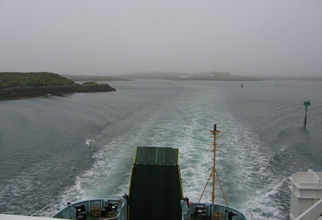
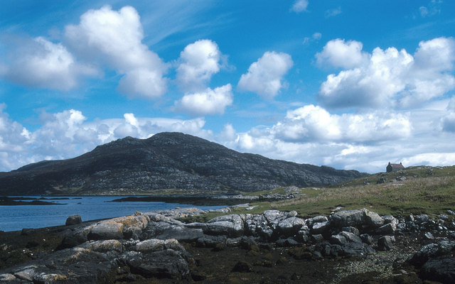
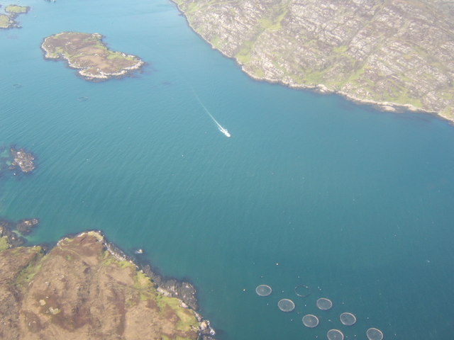
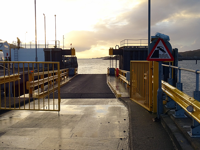
![Steaming out of Loch Baghasdail Not sure if 'steaming' is quite the right expression to describe the movement of a diesel powered car ferry. Taken from the deck of MV 'Lord of the Isles' having just passed the small island of Gasaigh [centre left]. Lochboisdale port can be seen in the distance.](https://s2.geograph.org.uk/geophotos/03/06/57/3065774_21c62608.jpg)
Arinangallan is located at Grid Ref: NF7918 (Lat: 57.140779, Lng: -7.2989538)
Unitary Authority: Na h-Eileanan an Iar
Police Authority: Highlands and Islands
What 3 Words
///avoid.cheek.users. Near Lochboisdale, Na h-Eileanan Siar
Nearby Locations
Related Wikis

Eileanan Iasgaich
Na h-Eileanan Iasgaich comprise a small uninhabited archipelago in Loch Boisdale, in the south east of the island of South Uist, in the Outer Hebrides...

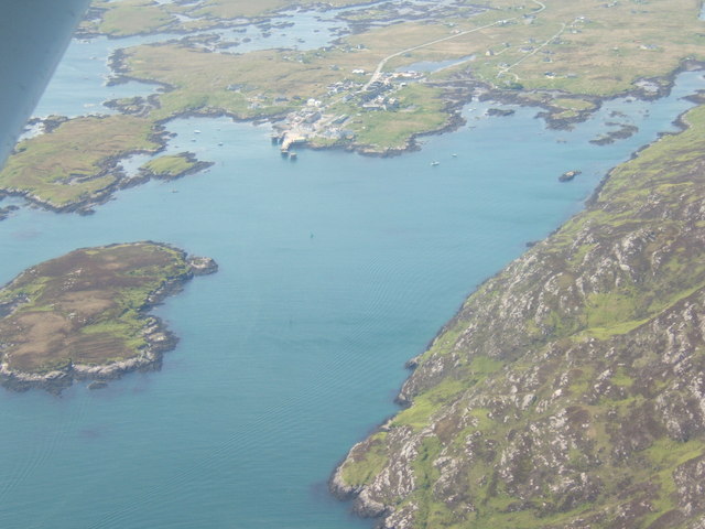
Lochboisdale
Lochboisdale (Scottish Gaelic: Loch Baghasdail [ɫ̪ɔx ˈbɤːs̪t̪ɪl]) is the main village and port on the island of South Uist, Outer Hebrides, Scotland. Lochboisdale...

Beinn Ruigh Choinnich
Beinn Ruigh Choinnich is a hill which overlooks the port of Lochboisdale on the east coast of the island of South Uist in the Outer Hebrides Scotland....
Calvay Castle
Calvay Castle (Scottish Gaelic: Caisteal Calbhaigh) is a ruined castle on an islet close to the island of Calbhaigh, at the eastern approaches to Loch...
Papar
The Papar (Icelandic pronunciation: [ˈpʰaːpar̥]; from Latin papa, via Old Irish, meaning "father" or "pope") were, according to early Icelandic sagas,...

Auratote
Auratote (Scottish Gaelic: Oratobht) is a location on South Uist in the Outer Hebrides, Scotland. Auratote is within the parish of South Uist. == References... ==

Easaval
Easaval (Scottish Gaelic: Easabhal) is one of the smallest hills on the island of South Uist in the Outer Hebrides of Scotland, with a height of 243 metres...
SS Politician
SS Politician was a cargo ship that ran aground off the coast of the Hebridean island of Eriskay in 1941. Her cargo included 22,000 cases of scotch whisky...
Nearby Amenities
Located within 500m of 57.140779,-7.2989538Have you been to Arinangallan?
Leave your review of Arinangallan below (or comments, questions and feedback).