Sgeir nam Boc
Island in Inverness-shire
Scotland
Sgeir nam Boc
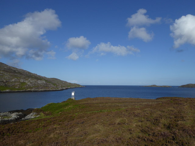
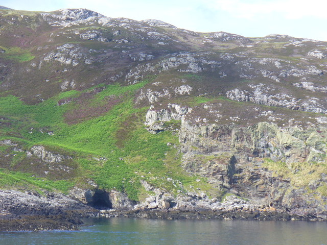
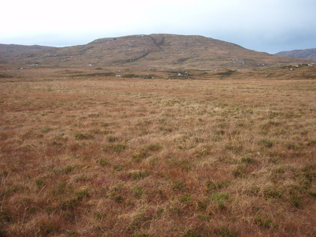
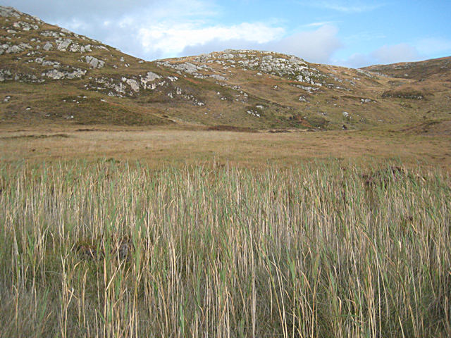
Sgeir nam Boc is a small uninhabited island located off the coast of Inverness-shire, Scotland. Situated in the Inner Hebrides, it is part of the Inner Sound archipelago. The island is composed of rugged cliffs and rocky terrain, with an approximate area of 3.5 hectares.
The name Sgeir nam Boc translates to "The Skerry of the Bucks" in Scottish Gaelic, which refers to the presence of seals in the surrounding waters. The island is home to a variety of wildlife, including seabirds such as puffins, guillemots, and razorbills, which nest on the cliffs. The surrounding waters are also known for their rich marine life, with seals, dolphins, and porpoises often spotted in the area.
Access to Sgeir nam Boc is limited due to its remote location and lack of facilities. It is primarily visited by wildlife enthusiasts, birdwatchers, and photographers who are drawn to its natural beauty and diverse fauna. The island offers opportunities for hiking and exploring its rocky shoreline, but visitors are advised to be cautious due to the uneven terrain.
Boat trips and guided tours are available from nearby towns, providing a chance to witness the island's wildlife up close. Sgeir nam Boc offers a peaceful retreat for those seeking solitude and a glimpse into the untouched natural beauty of the Scottish coastline.
If you have any feedback on the listing, please let us know in the comments section below.
Sgeir nam Boc Images
Images are sourced within 2km of 57.141883/-7.3057996 or Grid Reference NF7918. Thanks to Geograph Open Source API. All images are credited.
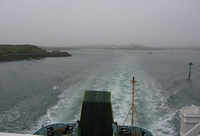
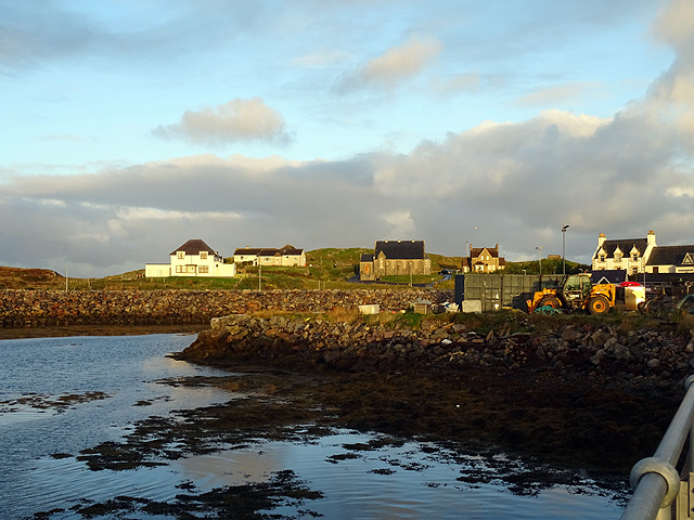
![Steaming out of Loch Baghasdail Not sure if 'steaming' is quite the right expression to describe the movement of a diesel powered car ferry. Taken from the deck of MV 'Lord of the Isles' having just passed the small island of Gasaigh [centre left]. Lochboisdale port can be seen in the distance.](https://s2.geograph.org.uk/geophotos/03/06/57/3065774_21c62608.jpg)
Sgeir nam Boc is located at Grid Ref: NF7918 (Lat: 57.141883, Lng: -7.3057996)
Unitary Authority: Na h-Eileanan an Iar
Police Authority: Highlands and Islands
What 3 Words
///stubbed.companies.munch. Near Lochboisdale, Na h-Eileanan Siar
Nearby Locations
Related Wikis

Eileanan Iasgaich
Na h-Eileanan Iasgaich comprise a small uninhabited archipelago in Loch Boisdale, in the south east of the island of South Uist, in the Outer Hebrides...

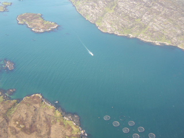
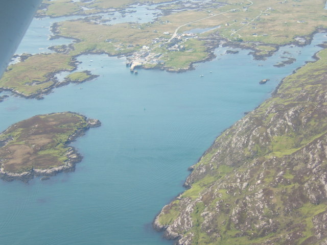
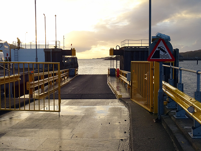
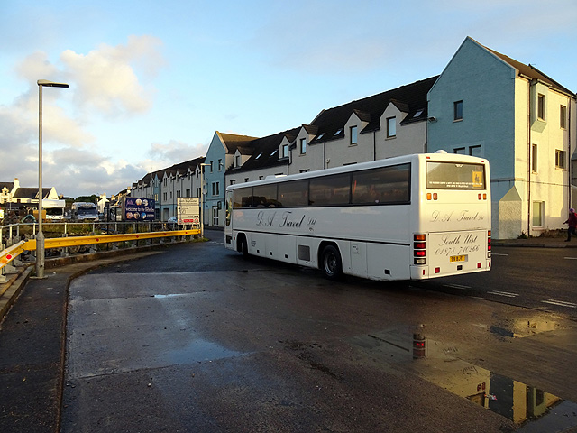
Lochboisdale
Lochboisdale (Scottish Gaelic: Loch Baghasdail [ɫ̪ɔx ˈbɤːs̪t̪ɪl]) is the main village and port on the island of South Uist, Outer Hebrides, Scotland. Lochboisdale...
Papar
The Papar (Icelandic pronunciation: [ˈpʰaːpar̥]; from Latin papa, via Old Irish, meaning "father" or "pope") were, according to early Icelandic sagas,...

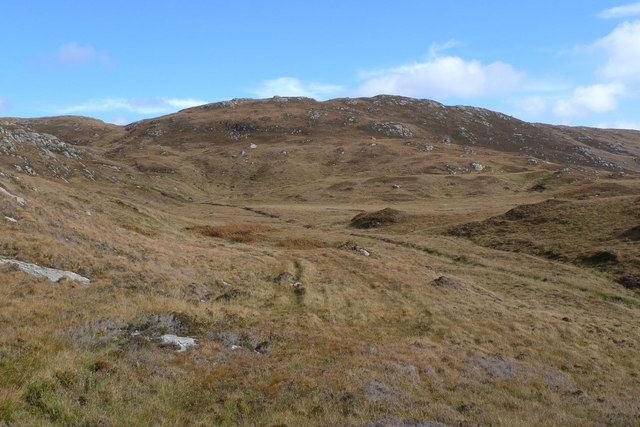
Beinn Ruigh Choinnich
Beinn Ruigh Choinnich is a hill which overlooks the port of Lochboisdale on the east coast of the island of South Uist in the Outer Hebrides Scotland....
Nearby Amenities
Located within 500m of 57.141883,-7.3057996Have you been to Sgeir nam Boc?
Leave your review of Sgeir nam Boc below (or comments, questions and feedback).