Eilean nan Clachan

Island in Inverness-shire

Scotland

Eilean nan Clachan

Houses at Samhla
Houses at Samhla Credit: Sandy Gerrard

The requested URL returned error: 429 Too Many Requests

If you have any feedback on the listing, please let us know in the comments section below.

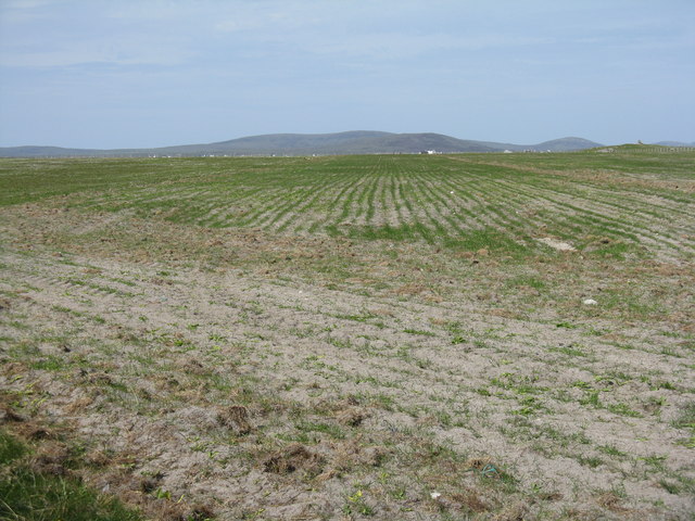
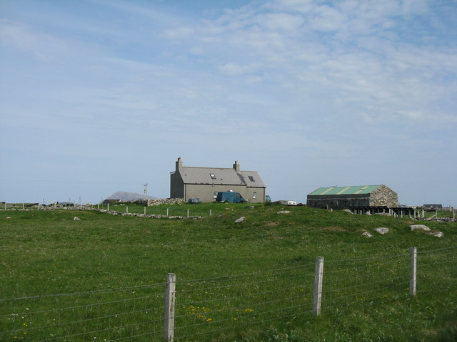
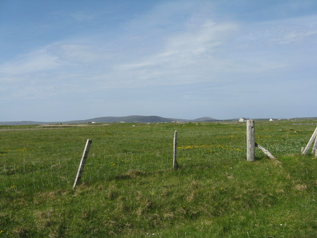
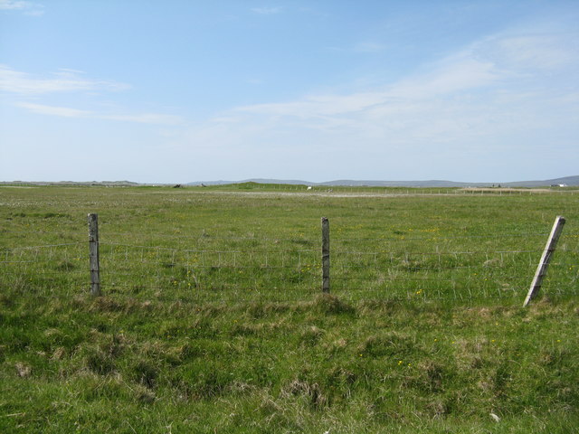
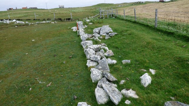
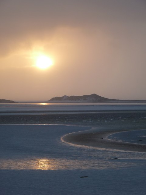
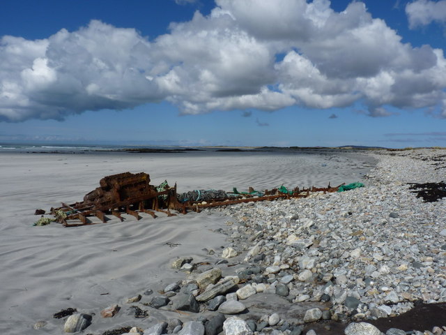
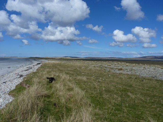
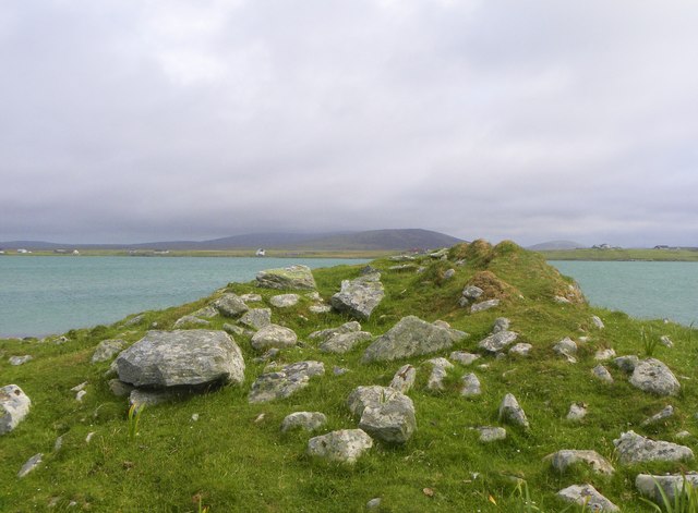
Eilean nan Clachan Images

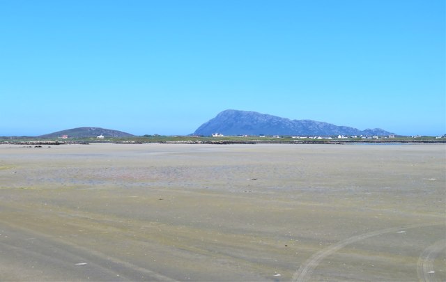
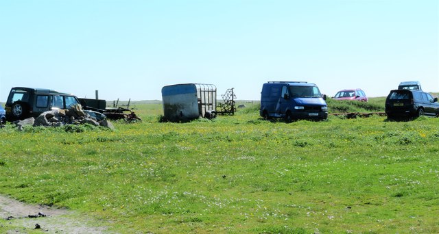
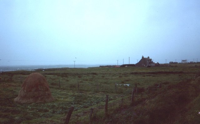
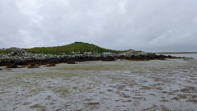
Images are sourced within 2km of 57.542463/-7.3645526 or Grid Reference NF7962. Thanks to Geograph Open Source API. All images are credited.

Houses at Samhla
Houses at Samhla
Baleshare - North Uist Causeway Looking east from Samhla to North Uist. Interestingly, although both sides are open to the sea, there is water to the south but it was dry on the north.
Baleshare - North Uist Causeway
Looking east from Samhla to North Uist. Interestingly, although both sides are open to the sea, there is water to the south but it was dry on the north.
Shore at Samhla Looking south from the west end of the causeway.
Shore at Samhla
Looking south from the west end of the causeway.
Reseeded machair  Looking northeast across flat sandy machair land.
Reseeded machair
Looking northeast across flat sandy machair land.
Farmhouse on Baleshare The peak in the distance, to the left, is Eaval on North Uist.
Farmhouse on Baleshare
The peak in the distance, to the left, is Eaval on North Uist.
Pasture on Baleshare/Baile Sear Looking northeast from the road to Teanna Mhachair on the west side of the island. The high land beyond will be on North Uist.
Pasture on Baleshare/Baile Sear
Looking northeast from the road to Teanna Mhachair on the west side of the island. The high land beyond will be on North Uist.
Machair on Baleshare/Baile Sear Looking northwest to a slight rise in the ground, on which there are the remains of a Dun.
Machair on Baleshare/Baile Sear
Looking northwest to a slight rise in the ground, on which there are the remains of a Dun.
A sandy island surrounded by sand This is the part of the extensive area of tidal sand on the east side of Baile Sear island. The sand must be firm due to the number of vehicle tyre tracks across it. Looking due east towards the profile of Eabhal.
A sandy island surrounded by sand
This is the part of the extensive area of tidal sand on the east side of Baile Sear island. The sand must be firm due to the number of vehicle tyre tracks across it. Looking due east towards the profile of Eabhal.
Vehicle graveyard Baile Sear Vehicles are rather like dwellings on the Western Isles. When no longer wanted, they are simply left to rot out in the elements.
Vehicle graveyard Baile Sear
Vehicles are rather like dwellings on the Western Isles. When no longer wanted, they are simply left to rot out in the elements.
Cladach Iolaraigh West side of North Uist
Cladach Iolaraigh
West side of North Uist
Carnan Nan Long chambered cairn Neolithic chambered cairn on the coastline. <span class="nowrap"><a title="https://canmore.org.uk/site/10005/north-uist-baleshare-carnan-nan-long" rel="nofollow ugc noopener" href="https://canmore.org.uk/site/10005/north-uist-baleshare-carnan-nan-long">Link</a><img style="margin-left:2px;" alt="External link" title="External link - shift click to open in new window" src="https://s1.geograph.org.uk/img/external.png" width="10" height="10"/></span>
Carnan Nan Long chambered cairn
Neolithic chambered cairn on the coastline. LinkExternal link
Field wall next to beach on Baile Sear Walls were often erected to prevent stock on beaches getting onto adjacent arable ground (Scale 1m).
Field wall next to beach on Baile Sear
Walls were often erected to prevent stock on beaches getting onto adjacent arable ground (Scale 1m).
Harvest in at Teanna Mhachair Old methods are still in favour here
Harvest in at Teanna Mhachair
Old methods are still in favour here
Claddach Kirkibost foreshore Just before dusk the sun breaks through.
Claddach Kirkibost foreshore
Just before dusk the sun breaks through.
Claddach Kirkibost croft land Wind plucked plastic litters the roadside
Claddach Kirkibost croft land
Wind plucked plastic litters the roadside
Rusting remains on the beach Apparently the remains of the engine(s) of some unfortunate marine vessel, rapidly rusting away in the saline onslaught of the Atlantic.
Rusting remains on the beach
Apparently the remains of the engine(s) of some unfortunate marine vessel, rapidly rusting away in the saline onslaught of the Atlantic.
The storm beach at Lag Gorm Immediately behind the tidal beach (here on the left), there is a wide swathe, up to 30 yards wide, of low dunes that are scattered with boulders up to about 12" across. As some of these lie on top of the grass, it's a reasonable assumption that they get thrown there by the winter storms each year. No place to be in a good blow, if there are rocks that big flying around.
The storm beach at Lag Gorm
Immediately behind the tidal beach (here on the left), there is a wide swathe, up to 30 yards wide, of low dunes that are scattered with boulders up to about 12" across. As some of these lie on top of the grass, it's a reasonable assumption that they get thrown there by the winter storms each year. No place to be in a good blow, if there are rocks that big flying around.
Chambered cairn on Baleshare Neolithic chambered tomb on the northern coast of Baleshare island.
Chambered cairn on Baleshare
Neolithic chambered tomb on the northern coast of Baleshare island.
Show me another place!

Eilean nan Clachan is located at Grid Ref: NF7962 (Lat: 57.542463, Lng: -7.3645526)

Unitary Authority: Na h-Eileanan an Iar

Police Authority: Highlands and Islands

What 3 Words

///locator.cheetahs.full. Near Balivanich, Na h-Eileanan Siar

Related Wikis

Baleshare

Baleshare (Scottish Gaelic: Baile Sear) is a flat tidal island in the Outer Hebrides of Scotland. Baleshare lies to the south-west of North Uist. Its economics...

Teampull na Trionaid

Teampull na Trionaid ("trinity church") is a ruined 13th-century Augustinian nunnery at Carinish, on North Uist, in the Outer Hebrides of Scotland. �...

Battle of Carinish

The Battle of Carinish was a Scottish clan battle fought in North Uist in 1601. It was part of a year of feuding between Clan MacLeod of Dunvegan and the...

Kirkibost

Kirkibost (Scottish Gaelic: Eilean Chirceaboist) is a low-lying island west of North Uist in the Outer Hebrides of Scotland. == Geography == Kirkibost...

Nearby Amenities

Located within 500m of 57.542463,-7.3645526
Power: pole
Lat/Long: 57.5400676/-7.3575307
Power: pole
Lat/Long: 57.5398099/-7.3589683
Power: pole
Lat/Long: 57.5395853/-7.3601699
Power: pole
Lat/Long: 57.5393363/-7.3615888
Power: pole
Lat/Long: 57.5391304/-7.3626617
Power: pole
Lat/Long: 57.5390498/-7.3638875
Power: pole
Lat/Long: 57.5389462/-7.3654003
Power: pole
Lat/Long: 57.5387259/-7.3646224
Power: pole
Lat/Long: 57.5386266/-7.3641423
Power: pole
Lat/Long: 57.5384236/-7.3631955
Power: pole
Lat/Long: 57.5387617/-7.3679455
Power: pole
Lat/Long: 57.5388495/-7.366701
Power: pole
Lat/Long: 57.5388414/-7.3651597
Barrier: cattle_grid
Lat/Long: 57.5422215/-7.372506
Power: pole
Lat/Long: 57.544051/-7.3719316
Power: pole
Lat/Long: 57.5435169/-7.3724413
Power: pole
Lat/Long: 57.544454/-7.3715293
Iolaraigh
Name Gd: Illeray
Place: isolated_dwelling
Lat/Long: 57.5449699/-7.370181
The data included in this document is from www.openstreetmap.org. The data is made available under ODbL.

Have you been to Eilean nan Clachan?

Leave your review of Eilean nan Clachan below (or comments, questions and feedback).