Samala

Settlement in Inverness-shire

Scotland

Samala

Sand, Seaweed and Rocks at Ceardach Ruadh
Sand, Seaweed and Rocks at Ceardach Ruadh Credit: Sandy Gerrard

Samala is a small village located in the county of Inverness-shire in the Scottish Highlands. Situated amidst breathtaking natural scenery, it is nestled between the hills and forests that characterize this region. The village is surrounded by lush green landscapes and offers its residents and visitors a peaceful and idyllic setting.

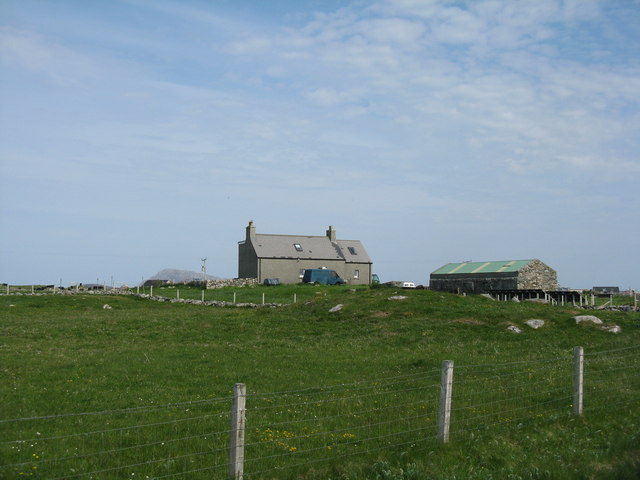
With a population of around 200 residents, Samala is a close-knit community that prides itself on its friendly and welcoming atmosphere. The village is primarily residential, with a few local businesses catering to the needs of its inhabitants. Although small in size, Samala benefits from its proximity to larger towns, with Inverness, the capital of the Highlands, just a short drive away.

The village boasts a rich history, dating back to ancient times. There are remnants of ancient settlements and structures that bear witness to its past. Visitors can explore historical sites such as ancient burial grounds and standing stones, which provide a glimpse into the village's intriguing heritage.

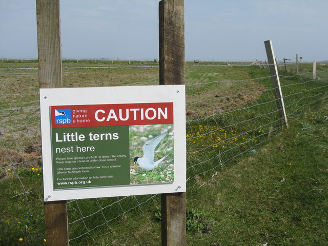
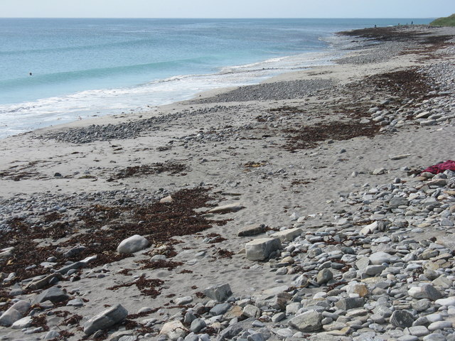
Nature lovers are drawn to Samala for the abundance of outdoor recreational opportunities it offers. The surrounding hills and forests provide ample opportunities for hiking, mountain biking, and wildlife spotting. The nearby rivers and lochs are perfect for fishing and boating enthusiasts.

Overall, Samala is a charming village that offers a tranquil escape from the hustle and bustle of city life. With its stunning natural beauty and friendly community, it is a hidden gem in Inverness-shire that is worth exploring.

If you have any feedback on the listing, please let us know in the comments section below.

Samala Images

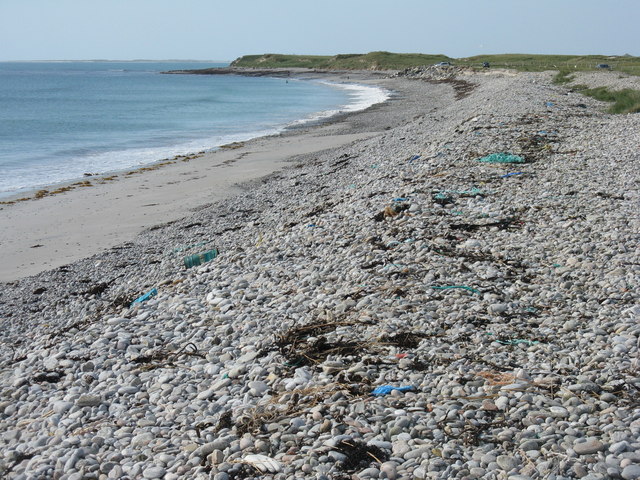
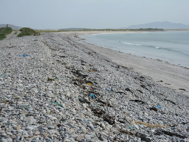
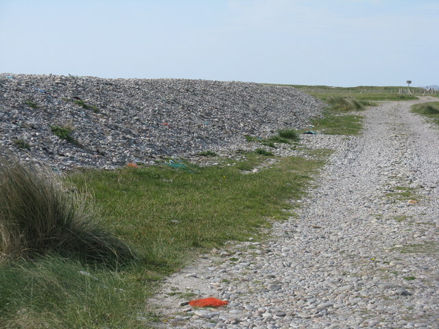
Images are sourced within 2km of 57.533827/-7.3659575 or Grid Reference NF7962. Thanks to Geograph Open Source API. All images are credited.
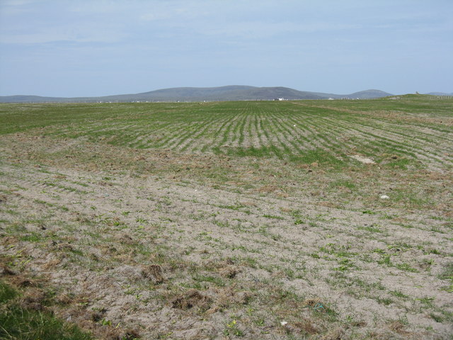
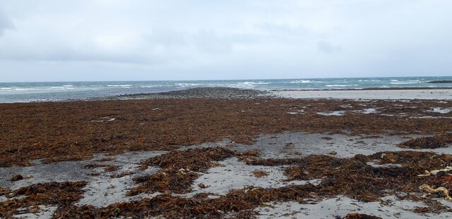
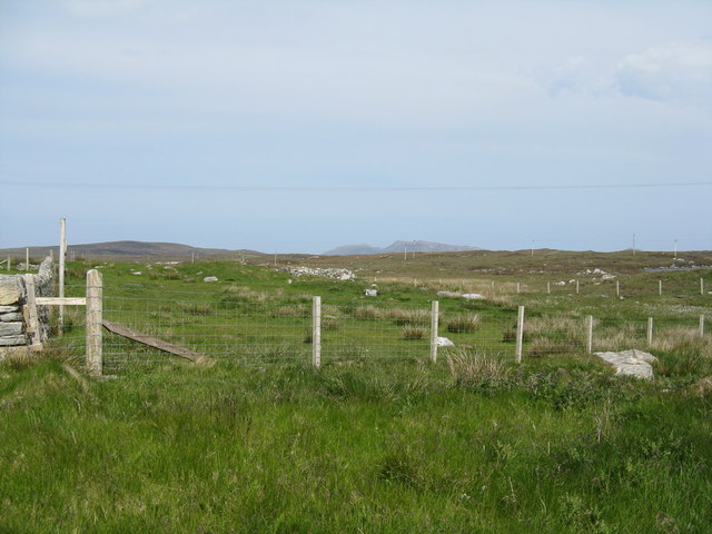
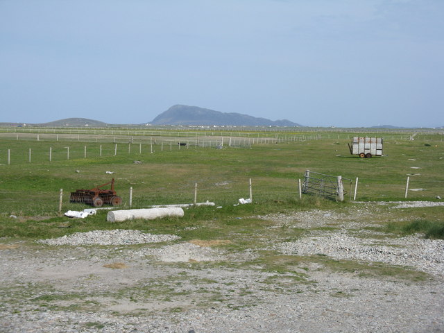
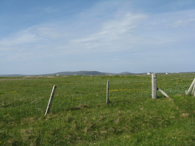
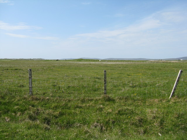
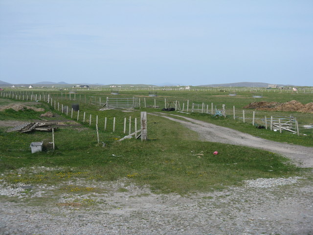
Sand, Seaweed and Rocks at Ceardach Ruadh
Houses at Samhla
Houses at Samhla
Baleshare - North Uist Causeway Looking east from Samhla to North Uist. Interestingly, although both sides are open to the sea, there is water to the south but it was dry on the north.
Baleshare - North Uist Causeway
Looking east from Samhla to North Uist. Interestingly, although both sides are open to the sea, there is water to the south but it was dry on the north.
Shore at Samhla Looking south from the west end of the causeway.
Shore at Samhla
Looking south from the west end of the causeway.
Storm beach at Ceardach Ruadh The western shore of Baleshare/Baile Sear, facing the Atlantic Ocean. Note the debris from, mostly I suspect, the fishing industry.
Storm beach at Ceardach Ruadh
The western shore of Baleshare/Baile Sear, facing the Atlantic Ocean. Note the debris from, mostly I suspect, the fishing industry.
Atlantic storm beach on Baleshare/Baile Sear Looking southeast from the top of the stony bank created by stormy seas.
Atlantic storm beach on Baleshare/Baile Sear
Looking southeast from the top of the stony bank created by stormy seas.
Behind the storm beach of Ceardach Ruadh A track runs between the 'dune' and the fenced fields.
Behind the storm beach of Ceardach Ruadh
A track runs between the 'dune' and the fenced fields.
Beware at Baleshare RSPB notice about Little Terns nesting on the beach. Reseeded machair land is beyond, and the beach is off to the right.
Beware at Baleshare
RSPB notice about Little Terns nesting on the beach. Reseeded machair land is beyond, and the beach is off to the right.
Reseeded machair  Looking northeast across flat sandy machair land.
Reseeded machair
Looking northeast across flat sandy machair land.
Stony beach at Baleshare Looking northwest to Ceardach Ruadh, Teanna Mhachair and the Sound of Monach.
Stony beach at Baleshare
Looking northwest to Ceardach Ruadh, Teanna Mhachair and the Sound of Monach.
Farmhouse on Baleshare The peak in the distance, to the left, is Eaval on North Uist.
Farmhouse on Baleshare
The peak in the distance, to the left, is Eaval on North Uist.
Machair fields at Sloch Sabhaidh On the flat sandy island of Baleshare/Baile Sear. The distant hill is Eaval on North Uist [11.5km].
Machair fields at Sloch Sabhaidh
On the flat sandy island of Baleshare/Baile Sear. The distant hill is Eaval on North Uist [11.5km].
Fence at Ceardach Ruadh Looking inland from the west coast of Baleshare.
Fence at Ceardach Ruadh
Looking inland from the west coast of Baleshare.
Looking inland from Sloc Sabhaidh Machair pasture on Baleshare, looking east to Eaval, about 15km away.
Looking inland from Sloc Sabhaidh
Machair pasture on Baleshare, looking east to Eaval, about 15km away.
Pasture on Baleshare/Baile Sear Looking northeast from the road to Teanna Mhachair on the west side of the island. The high land beyond will be on North Uist.
Pasture on Baleshare/Baile Sear
Looking northeast from the road to Teanna Mhachair on the west side of the island. The high land beyond will be on North Uist.
Machair on Baleshare/Baile Sear Looking northwest to a slight rise in the ground, on which there are the remains of a Dun.
Machair on Baleshare/Baile Sear
Looking northwest to a slight rise in the ground, on which there are the remains of a Dun.
The Sound of Monach at Baleshare Looking northwest to Ceardach Ruadh and Teanna Mhachair.
The Sound of Monach at Baleshare
Looking northwest to Ceardach Ruadh and Teanna Mhachair.
Gateway at Sloc Sabhaidh The coastal end of a track that leads across the machair to the road to the causeway back to North Uist.
Gateway at Sloc Sabhaidh
The coastal end of a track that leads across the machair to the road to the causeway back to North Uist.
Show me another place!

Samala is located at Grid Ref: NF7962 (Lat: 57.533827, Lng: -7.3659575)

Unitary Authority: Na h-Eileanan an Iar

Police Authority: Highlands and Islands

Also known as: Samhia

What 3 Words

///leaps.wants.barbarian. Near Balivanich, Na h-Eileanan Siar

Related Wikis

Baleshare

Baleshare (Scottish Gaelic: Baile Sear) is a flat tidal island in the Outer Hebrides of Scotland. Baleshare lies to the south-west of North Uist. Its economics...

Teampull na Trionaid

Teampull na Trionaid ("trinity church") is a ruined 13th-century Augustinian nunnery at Carinish, on North Uist, in the Outer Hebrides of Scotland. �...

Battle of Carinish

The Battle of Carinish was a Scottish clan battle fought in North Uist in 1601. It was part of a year of feuding between Clan MacLeod of Dunvegan and the...

Carinish

Carinish (Scottish Gaelic: Càirinis), is a hamlet on North Uist, in the Outer Hebrides, Scotland. It is in the south of the island, about two miles (three...

Nearby Amenities

Located within 500m of 57.533827,-7.3659575
Passing Place
Lat/Long: 57.5350206/-7.3704402
Turning Circle
Lat/Long: 57.5377061/-7.365968
Power: pole
Lat/Long: 57.5301056/-7.3655369
Power: pole
Lat/Long: 57.5308645/-7.3661726
Power: pole
Lat/Long: 57.5318753/-7.3670201
Power: pole
Lat/Long: 57.5319502/-7.3673635
Power: pole
Lat/Long: 57.5321014/-7.3679294
Power: pole
Lat/Long: 57.532182/-7.368254
Power: pole
Lat/Long: 57.5325593/-7.3675915
Power: pole
Lat/Long: 57.5332/-7.3681574
Power: pole
Lat/Long: 57.5336982/-7.3685544
Power: pole
Lat/Long: 57.5342381/-7.3690264
Power: pole
Lat/Long: 57.5349378/-7.3695897
Power: pole
Lat/Long: 57.5354115/-7.3700001
Power: pole
Lat/Long: 57.5359241/-7.3698955
Power: pole
Lat/Long: 57.5366209/-7.3697453
Power: pole
Lat/Long: 57.5372817/-7.3696085
Power: pole
Lat/Long: 57.5312331/-7.366481
Power: pole
Lat/Long: 57.5297385/-7.3652338
Passing Place
Lat/Long: 57.5365228/-7.3713822
Passing Place
Lat/Long: 57.5369676/-7.3680214
Passing Place
Lat/Long: 57.533536/-7.3693208
The data included in this document is from www.openstreetmap.org. The data is made available under ODbL.

Have you been to Samala?

Leave your review of Samala below (or comments, questions and feedback).