Salway Ash
Settlement in Dorset
England
Salway Ash
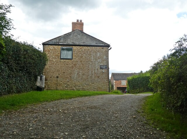
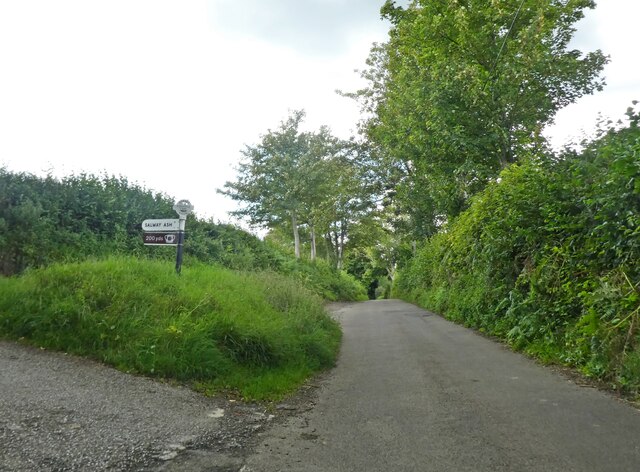
Salway Ash is a small village located in the county of Dorset, England. Situated about 3 miles north-west of Bridport, it falls within the West Dorset district. The village is nestled in the picturesque Marshwood Vale, surrounded by rolling hills and countryside, offering a tranquil and scenic setting.
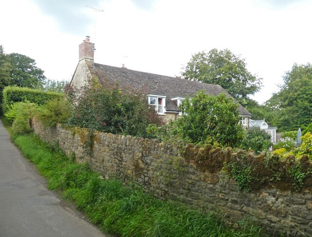
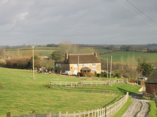
With a population of around 400 residents, Salway Ash maintains a close-knit community atmosphere. The village features a number of charming thatched cottages, giving it a quintessentially English feel. It also boasts a beautiful 13th-century church, St. Mary's, which is a prominent landmark in the area.
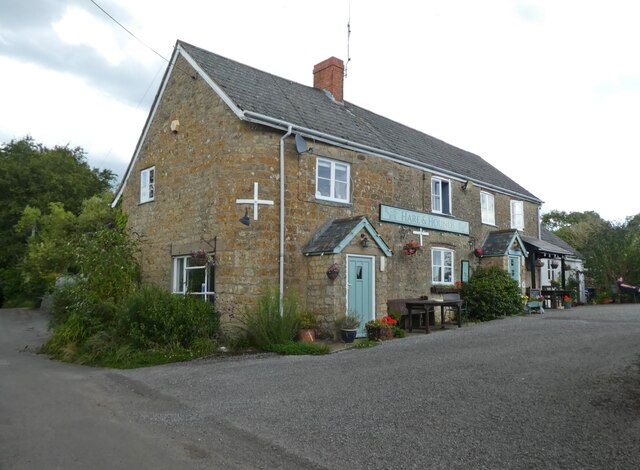
Although Salway Ash is relatively small, it offers a range of amenities to cater to the needs of its residents. These include a primary school, a village hall, and a local pub, providing a sense of community and a gathering place for locals. The village is well-connected to nearby towns and cities, with good transportation links and easy access to major roads.
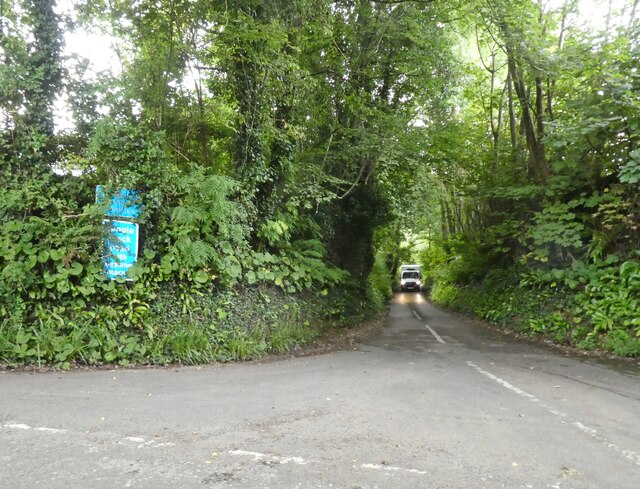
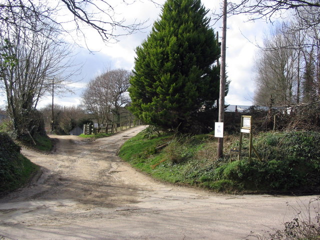
Nature lovers and outdoor enthusiasts will find plenty to explore in the surrounding area. The village is close to the stunning Jurassic Coast, a UNESCO World Heritage Site known for its stunning cliffs, beaches, and fossil-rich landscapes. Additionally, there are numerous walking trails and country paths that allow residents to enjoy the beautiful Dorset countryside.
Overall, Salway Ash is a picturesque and welcoming village that offers a peaceful and idyllic lifestyle, making it an attractive place to live or visit for those seeking a rural retreat.
If you have any feedback on the listing, please let us know in the comments section below.
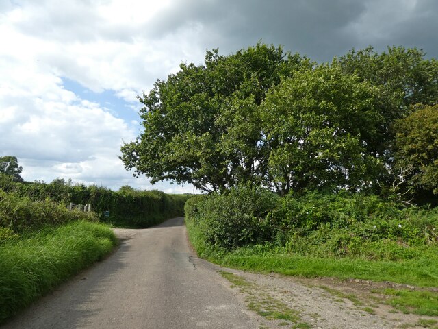
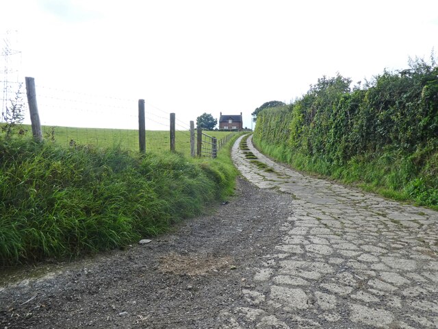
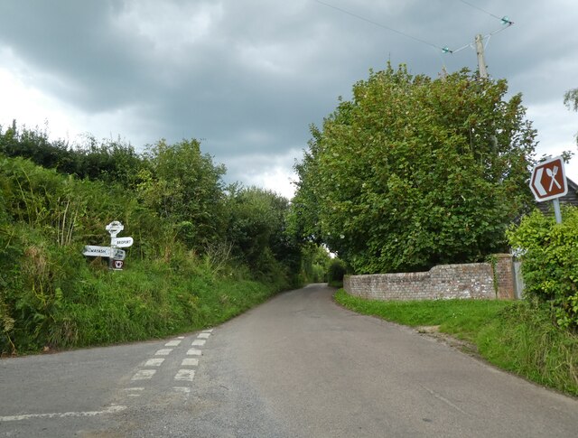
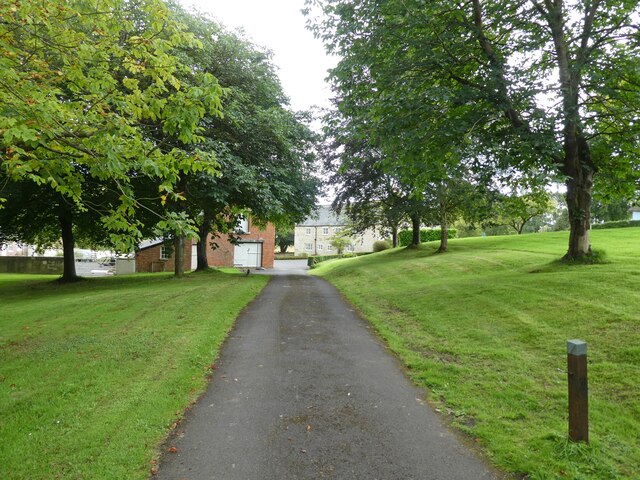
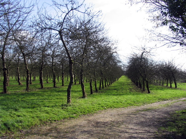
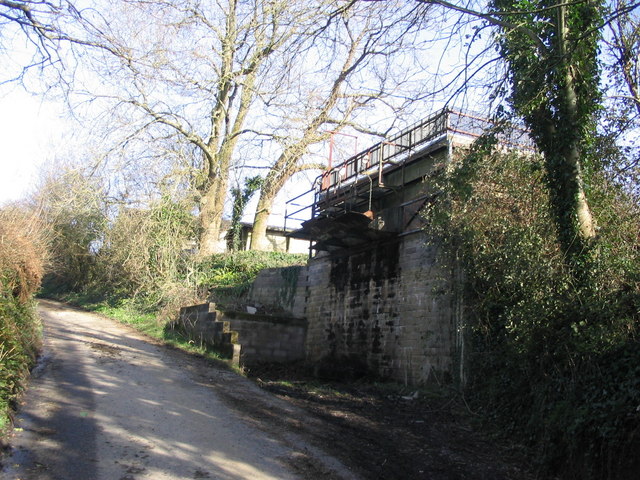
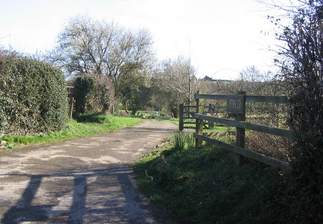
Salway Ash Images
Images are sourced within 2km of 50.768658/-2.7735486 or Grid Reference SY4596. Thanks to Geograph Open Source API. All images are credited.


Salway Ash is located at Grid Ref: SY4596 (Lat: 50.768658, Lng: -2.7735486)
Unitary Authority: Dorset
Police Authority: Dorset
What 3 Words
///conquest.laptops.recapture. Near Bridport, Dorset
Nearby Locations
Related Wikis

Salway Ash
Salway Ash (also spelt Salwayash) is a village in Dorset, England. Holy Trinity Church was built there in 1887–89. == References ==

Holy Trinity Church, Salway Ash
Holy Trinity Church is a Church of England church in Salway Ash, Dorset, England. The church was designed by George Crickmay and built in 1887–89. It now...

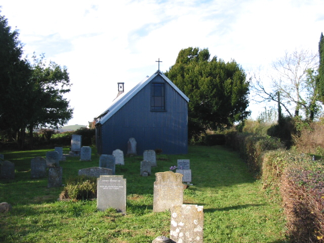
St Saviour's Church, Dottery
St Saviour's Church is a Church of England church in Dottery, Dorset, England. Erected in 1881–82, the corrugated iron church (Tin tabernacle) is the only...

St Paul's Church, Broadoak
St Paul's Church is a Church of England church in Broadoak, Dorset, England. It was designed by Thomas Talbot Bury and built in 1865–66. The church has...
Nearby Amenities
Located within 500m of 50.768658,-2.7735486Have you been to Salway Ash?
Leave your review of Salway Ash below (or comments, questions and feedback).