Heisteamuil
Island in Inverness-shire
Scotland
Heisteamuil
Heisteamuil is a small island located off the west coast of Scotland in Inverness-shire. Covering an area of approximately 2 square miles, it is a picturesque and sparsely populated island that offers a tranquil and serene environment.
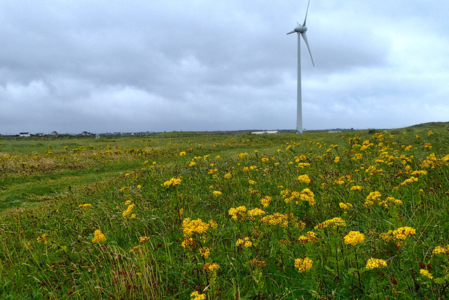
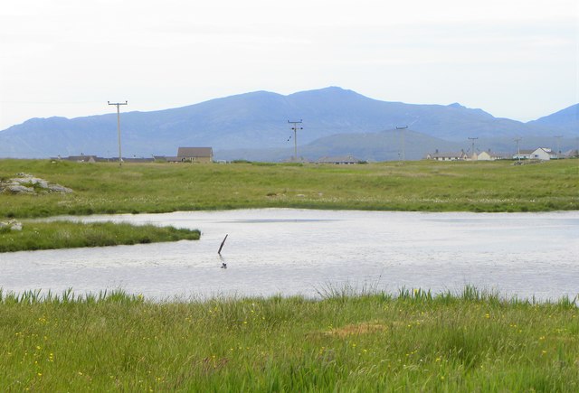
The island is blessed with stunning natural beauty, featuring rolling hills, rugged coastline, and breathtaking views of the surrounding sea. Its diverse landscape provides ample opportunities for outdoor activities such as hiking, birdwatching, and fishing.
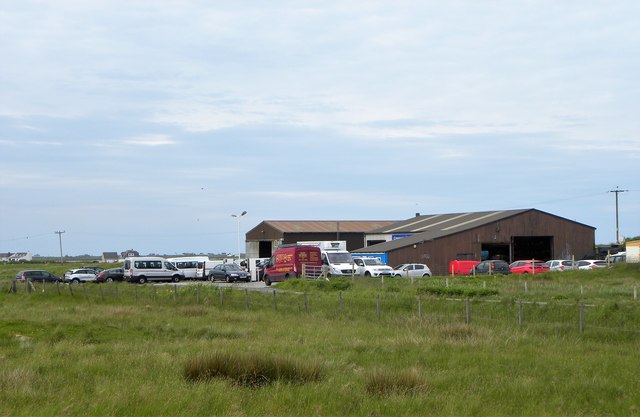
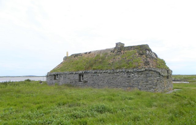
Heisteamuil is home to a small community of residents who enjoy a peaceful and close-knit way of life. The island is predominantly rural, with a scattering of traditional cottages and farmhouses. The locals make a living through traditional industries such as fishing, farming, and small-scale tourism.
Access to Heisteamuil is primarily by boat, with regular ferry services connecting the island to the mainland. The island lacks any significant infrastructure, with limited amenities available to both residents and visitors. However, its isolation and untouched natural beauty make it an attractive destination for those seeking a peaceful retreat away from the hustle and bustle of modern life.
The island is also known for its rich history, with ancient archaeological sites and ruins scattered throughout. Visitors can explore standing stones, burial mounds, and the remains of ancient settlements, providing insight into the island's past.
In summary, Heisteamuil is a remote island in Inverness-shire that offers a tranquil and untouched natural environment. It is a place where visitors can enjoy the beauty of nature, explore its rich history, and experience the simplicity of rural island life.
If you have any feedback on the listing, please let us know in the comments section below.
Heisteamuil Images
Images are sourced within 2km of 57.412825/-7.3441631 or Grid Reference NF7948. Thanks to Geograph Open Source API. All images are credited.


![Salt marsh at Creagorry/Creag Ghoraidh Directly across the road [A865] from the Creagorry Hotel.](https://s1.geograph.org.uk/geophotos/05/00/21/5002145_2d59f921.jpg)
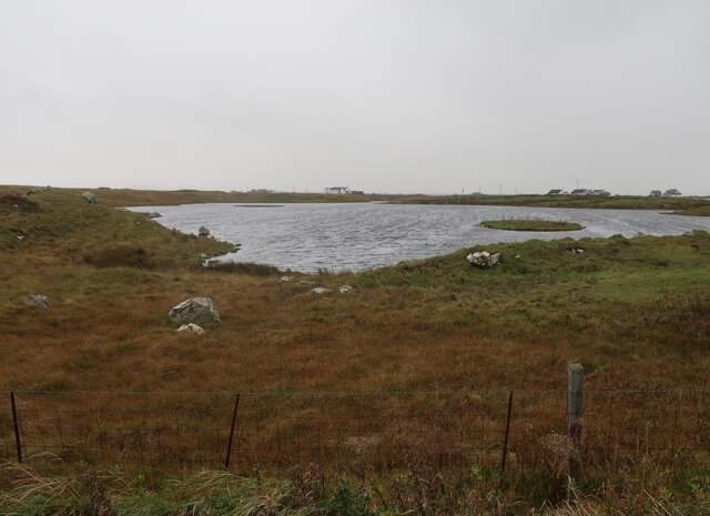
![Croft beyond the loch Looking across Loch na Craoibhe Bige [which might mean 'loch of the small tree'] towards some grassland on a Benbecula croft.](https://s2.geograph.org.uk/geophotos/06/20/90/6209010_e8273a31.jpg)

Heisteamuil is located at Grid Ref: NF7948 (Lat: 57.412825, Lng: -7.3441631)
Unitary Authority: Na h-Eileanan an Iar
Police Authority: Highlands and Islands
What 3 Words
///mixes.love.trail. Near Balivanich, Na h-Eileanan Siar
Related Wikis

Iochdar
Iochdar (Scottish Gaelic: An t-Ìochdair), also spelled Eochar, is a hamlet and community on the west coast of the island of South Uist, in the Outer Hebrides...

Borve Castle, Benbecula
Borve Castle, also known as Castle Wearie, and Caisteal Bhuirgh in Scottish Gaelic, is a ruined 14th-century tower house, located at the south-west of...

Balgarva
Balgarva (Scottish Gaelic: Baile Gharbhaidh) is a crofting settlement on South Uist in the Outer Hebrides, Scotland. Balgarva is within the parish of South...

Uist
Uist is a group of six islands that are part of the Outer Hebridean Archipelago, which is part of the Outer Hebrides of Scotland. North Uist and South...
Nearby Amenities
Located within 500m of 57.412825,-7.3441631Have you been to Heisteamuil?
Leave your review of Heisteamuil below (or comments, questions and feedback).