Àirigh nam Bàn

Coastal Feature, Headland, Point in Inverness-shire

Scotland

Àirigh nam Bàn

Mouth of Loch Eynort East coast of South Uist.
Mouth of Loch Eynort Credit: Hugh Venables

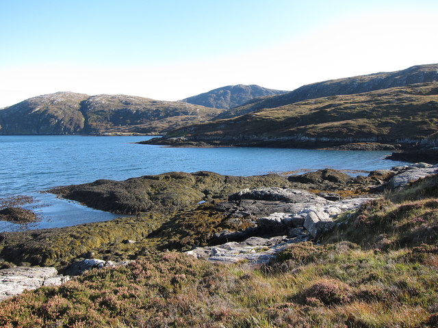
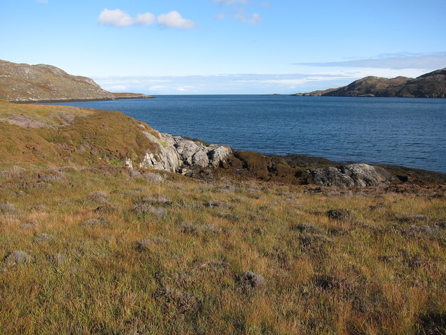
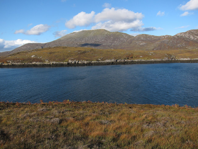
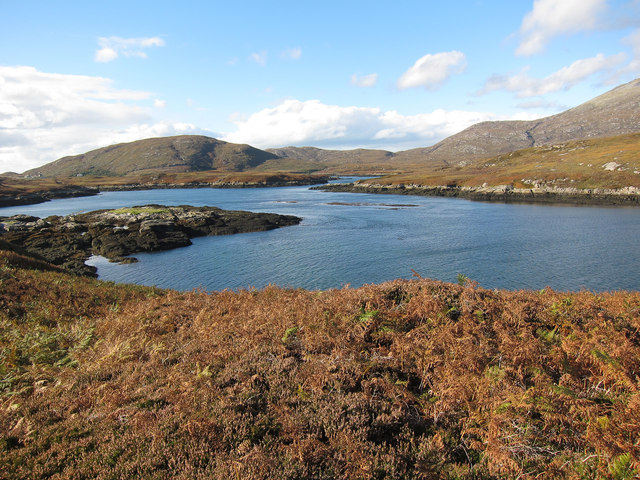
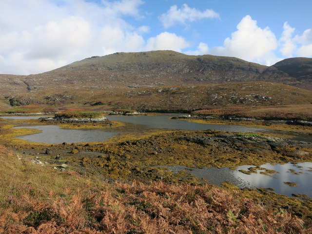
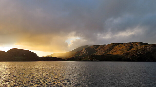
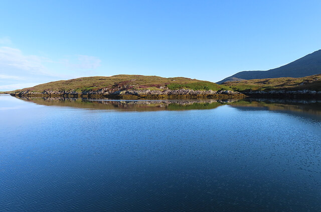
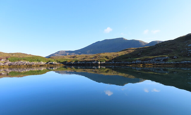
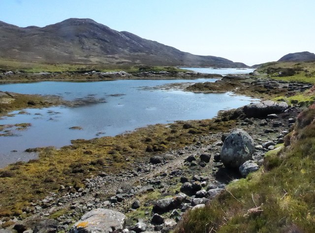
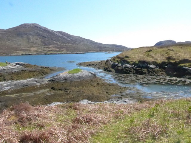
Àirigh nam Bàn is a prominent coastal feature located in Inverness-shire, Scotland. It is classified as a headland or point due to its distinct geological characteristics and its position extending into the sea. The headland is situated on the western coast of Scotland and overlooks the Atlantic Ocean.

The name Àirigh nam Bàn translates to "shieling of the white" in Gaelic, which is believed to be a reference to the white color of the cliffs that form the headland. These towering cliffs, composed mainly of rugged sandstone, are a defining feature of Àirigh nam Bàn and contribute to its dramatic and picturesque appearance.

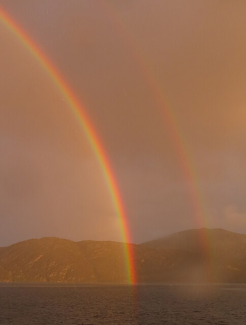
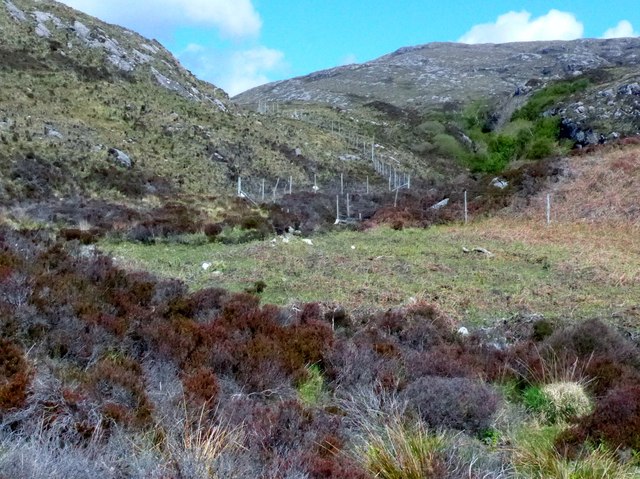
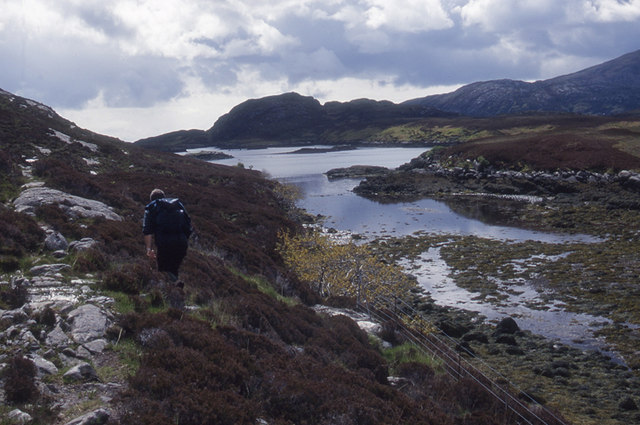
The headland serves as a natural boundary between the land and the sea, offering breathtaking panoramic views of the surrounding coastal landscape. It is a popular destination for nature enthusiasts, hikers, and photographers who are drawn to its rugged beauty and the diverse wildlife that inhabits the area.

Àirigh nam Bàn is also known for its historical significance. The headland is home to several archaeological sites, including ancient settlements and burial grounds, which provide insights into the region's rich cultural heritage.

Access to Àirigh nam Bàn is primarily by foot, with various hiking trails leading to the headland from nearby towns and villages. Visitors are advised to exercise caution when exploring the area, as the cliffs can be treacherous and subject to erosion.

Overall, Àirigh nam Bàn is a captivating coastal feature that showcases the natural beauty and historical heritage of Inverness-shire.

If you have any feedback on the listing, please let us know in the comments section below.

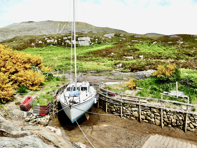
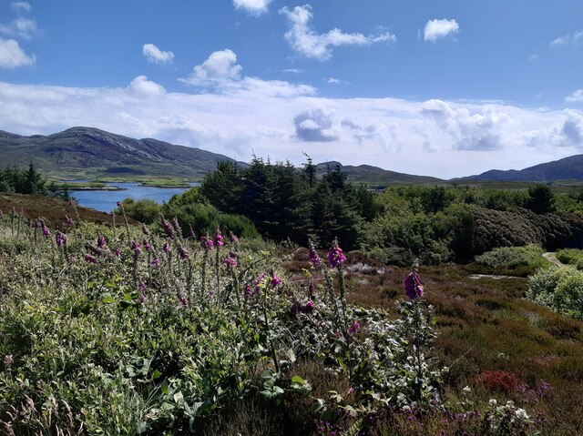
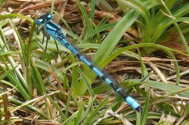
Àirigh nam Bàn Images

Images are sourced within 2km of 57.23534/-7.3210117 or Grid Reference NF7928. Thanks to Geograph Open Source API. All images are credited.

Mouth of Loch Eynort East coast of South Uist.
Mouth of Loch Eynort
East coast of South Uist.
Rubha Laileum Near the mouth of Loch Aineort.
Rubha Laileum
Near the mouth of Loch Aineort.
Rubha nan Sruthan Looking over Sruthan Beag.
Rubha nan Sruthan
Looking over Sruthan Beag.
Loch Eynort Narrow stretch near the eastern end.
Loch Eynort
Narrow stretch near the eastern end.
Sloc Dubh Looking towards Beinn Mhor.
Sloc Dubh
Looking towards Beinn Mhor.
Evening Sunshine After some gloomy weather, the setting sun broke through the clouds for a short fine spell.
Evening Sunshine
After some gloomy weather, the setting sun broke through the clouds for a short fine spell.
Double Rainbow Fuelled by a very heavy shower, this is one of the most magnificent rainbows I've ever seen.
Double Rainbow
Fuelled by a very heavy shower, this is one of the most magnificent rainbows I've ever seen.
Rubha nan Sruthan The peninsula on the north side of the narrowest part of Loch Aineort.
Rubha nan Sruthan
The peninsula on the north side of the narrowest part of Loch Aineort.
Loch Aineort An inlet east of Rubha nan Sruthan. The hill in the background is Beinn Mhòr.
Loch Aineort
An inlet east of Rubha nan Sruthan. The hill in the background is Beinn Mhòr.
Loch Aineort Looking to Eilean an Easbuig.
Loch Aineort
Looking to Eilean an Easbuig.
Estate boundary fence Just inshore from Loch Aineort.
Estate boundary fence
Just inshore from Loch Aineort.
Loch Aineort
Loch Aineort
Loch Aineort's hidden harbour This tiny harbour on Loch Aineort, South Uist, is not much wider than a single car garage. Maybe this is why it escaped the OS cartographers! I haven't been able to find it on any map including all the scales available on MAGIC.  It does, however, show up clearly on Google Earth.
Loch Aineort's hidden harbour
This tiny harbour on Loch Aineort, South Uist, is not much wider than a single car garage. Maybe this is why it escaped the OS cartographers! I haven't been able to find it on any map including all the scales available on MAGIC. It does, however, show up clearly on Google Earth.
Small woodland above Loch Aineort
Damsel fly
Damsel fly
Path along the Sloc Dubh The path leaves the lochside to climb steeply up to Bealach Crosgard on Ben More
Path along the Sloc Dubh
The path leaves the lochside to climb steeply up to Bealach Crosgard on Ben More
Beinn na Tobha Beinn na Tobha is the hill in the centre, and on the left is a shoulder of Beinn nan caorach.
Beinn na Tobha
Beinn na Tobha is the hill in the centre, and on the left is a shoulder of Beinn nan caorach.
Sloc Dubh Looking down the slopes of Beinn na Tobha towards Sloc Dubh, the arm of Loch Aineort at the far side of this square. In the distance is Stulabhal (374 metres).
Sloc Dubh
Looking down the slopes of Beinn na Tobha towards Sloc Dubh, the arm of Loch Aineort at the far side of this square. In the distance is Stulabhal (374 metres).
Show me another place!

Àirigh nam Bàn is located at Grid Ref: NF7928 (Lat: 57.23534, Lng: -7.3210117)

Unitary Authority: Na h-Eileanan an Iar

Police Authority: Highlands and Islands

What 3 Words

///publisher.drape.mixes. Near Lochboisdale, Na h-Eileanan Siar

Related Wikis

Beinn Mhòr (South Uist)

Beinn Mhòr is a mountain on the island of South Uist in the Outer Hebrides of Scotland. With a height of 620 metres (2,034 ft), it is the highest point...

South Uist

South Uist (Scottish Gaelic: Uibhist a Deas, [ˈɯ.ɪʃtʲ ə ˈtʲes̪] ; Scots: Sooth Uist) is the second-largest island of the Outer Hebrides in Scotland. At...

Bornish

Bornish (Scottish Gaelic: Bòrnais) is a village and community council area on South Uist in the Outer Hebrides, Scotland. Bornish is also within the civil...

Milton (South Uist)

Milton (Scottish Gaelic: Geàrraidh Bhailteas) is the name of a tack or tenant farm on the island of South Uist in the Outer Hebrides, Scotland. It was...

Nearby Amenities

Located within 500m of 57.23534,-7.3210117
Bus Stop
Locheynort
Naptan AtcoCode: 6010731732
Naptan Bearing: N
Naptan CommonName: Locheynort
Naptan Indicator: North
Naptan Landmark: North
Naptan NaptanCode: 94723429
Naptan Street: North
Naptan Verified: no
Source: naptan_import
Lat/Long: 57.2321561/-7.3255916
Turning Circle
Lat/Long: 57.2321377/-7.3257371
Beinn Bheag Dheas
Ele: 167
Natural: peak
Lat/Long: 57.2366998/-7.3274946
Rubha na h-Oitireach
Natural: cape
Lat/Long: 57.2318298/-7.3207122
Bàgh Lathach
Natural: bay
Lat/Long: 57.2334325/-7.3159057
The data included in this document is from www.openstreetmap.org. The data is made available under ODbL.

Have you been to Àirigh nam Bàn?

Leave your review of Àirigh nam Bàn below (or comments, questions and feedback).