Eilean na Mòine
Coastal Feature, Headland, Point in Inverness-shire
Scotland
Eilean na Mòine

Eilean na Mòine is a prominent coastal feature located in Inverness-shire, Scotland. It is a headland that extends into the North Atlantic Ocean, forming a point that serves as a natural boundary between the land and sea. The name "Eilean na Mòine" translates to "Island of the Moss" in English, hinting at the vegetation that covers the area.
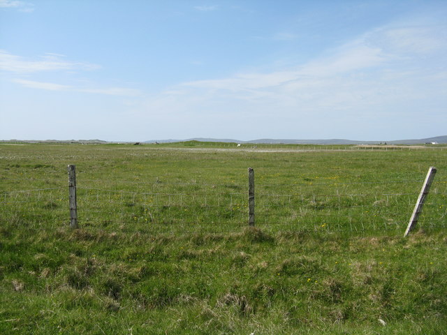
This headland is characterized by its rugged and rocky terrain, with towering cliffs that rise high above the water. The cliffs provide breathtaking panoramic views of the surrounding coastline and the vast ocean beyond. Eilean na Mòine is known for its dramatic coastal scenery, attracting both locals and tourists alike.
The area is also home to a diverse range of wildlife, including various seabirds, such as puffins, gannets, and razorbills. These birds nest in the cliffs and can be observed in their natural habitat during the breeding season.
Eilean na Mòine is a popular spot for outdoor activities such as hiking and birdwatching. There are several trails that lead visitors along the headland, offering stunning vistas and opportunities to explore the unique flora and fauna. The area is also frequented by fishing enthusiasts, with ample opportunities for angling in the nearby waters.
Overall, Eilean na Mòine is a captivating coastal feature in Inverness-shire, boasting a striking landscape, abundant wildlife, and a range of outdoor activities for visitors to enjoy.
If you have any feedback on the listing, please let us know in the comments section below.
Eilean na Mòine Images
Images are sourced within 2km of 57.528456/-7.3464627 or Grid Reference NF8061. Thanks to Geograph Open Source API. All images are credited.


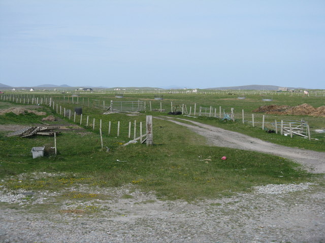
![Machair fields at Sloch Sabhaidh On the flat sandy island of Baleshare/Baile Sear. The distant hill is Eaval on North Uist [11.5km].](https://s3.geograph.org.uk/geophotos/05/02/57/5025707_6baed3b6.jpg)

Eilean na Mòine is located at Grid Ref: NF8061 (Lat: 57.528456, Lng: -7.3464627)
Unitary Authority: Na h-Eileanan an Iar
Police Authority: Highlands and Islands
What 3 Words
///mission.circus.truffles. Near Balivanich, Na h-Eileanan Siar
Related Wikis

Baleshare
Baleshare (Scottish Gaelic: Baile Sear) is a flat tidal island in the Outer Hebrides of Scotland. Baleshare lies to the south-west of North Uist. Its economics...

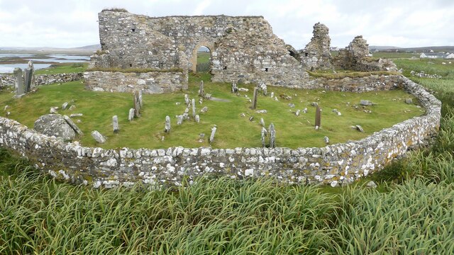
Teampull na Trionaid
Teampull na Trionaid ("trinity church") is a ruined 13th-century Augustinian nunnery at Carinish, on North Uist, in the Outer Hebrides of Scotland. �...

Battle of Carinish
The Battle of Carinish was a Scottish clan battle fought in North Uist in 1601. It was part of a year of feuding between Clan MacLeod of Dunvegan and the...

Carinish
Carinish (Scottish Gaelic: Càirinis), is a hamlet on North Uist, in the Outer Hebrides, Scotland. It is in the south of the island, about two miles (three...

Bail' Iochdrach
Bail' Iochdrach or Baliochrach (Scottish Gaelic: Am Baile Ìochdrach) is a village on Benbecula in the Outer Hebrides, Scotland. Baliochrach is within the...

Benbecula Airport
Benbecula Airport (Scottish Gaelic: Port-adhair Bheinn na Faoghla) (IATA: BEB, ICAO: EGPL) is located on the island of Benbecula in the Outer Hebrides...

Uachdar
Uachdar (Scottish Gaelic: An t-Uachdar [ən̪ˠ ˈt̪ʰuəxkəɾ]) is a settlement on the Outer Hebridean Island of Benbecula. Uachdar is within the parish of South...

Kirkibost
Kirkibost (Scottish Gaelic: Eilean Chirceaboist) is a low-lying island west of North Uist in the Outer Hebrides of Scotland. == Geography == Kirkibost...
Nearby Amenities
Located within 500m of 57.528456,-7.3464627Have you been to Eilean na Mòine?
Leave your review of Eilean na Mòine below (or comments, questions and feedback).