Strong's Hole
Beach in East Lothian
Scotland
Strong's Hole
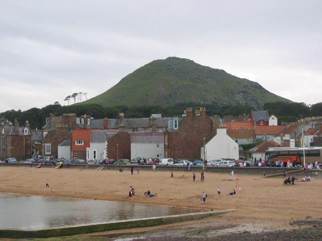
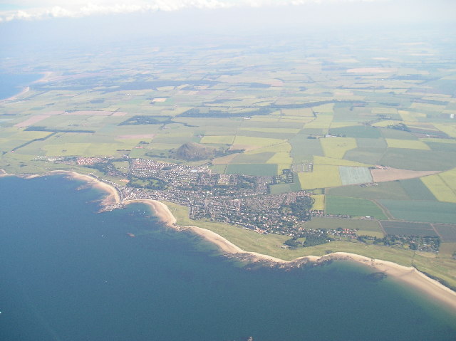
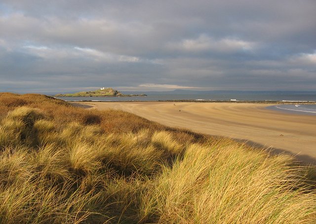
Strong's Hole is a picturesque beach located in East Lothian, Scotland. Situated along the scenic coastline of the North Sea, it offers visitors a serene and tranquil environment to relax and unwind. The beach is easily accessible, making it a popular destination for locals and tourists alike.
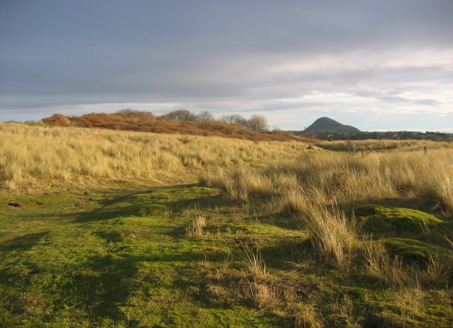
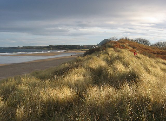
One of the defining features of Strong's Hole is its stunning sandy shoreline, which stretches for approximately 500 meters. The fine, golden sand is perfect for sunbathing and building sandcastles, making it an ideal spot for families to enjoy a day out. The beach is also backed by rolling dunes, providing a natural barrier from the wind and creating a sense of seclusion.
The crystal-clear waters of the North Sea offer opportunities for various water activities. Swimming, paddling, and bodyboarding are popular among beachgoers, while the more adventurous can try their hand at surfing. The strong currents and occasional waves make it an exciting spot for experienced surfers seeking a challenge.
Strong's Hole is not only a haven for beach lovers but also a haven for wildlife enthusiasts. The beach is a designated nature reserve, home to a variety of bird species, including sandpipers, oystercatchers, and terns. It also serves as a nesting site for the rare Little Tern, attracting birdwatchers from near and far.
Facilities at Strong's Hole include ample parking, toilets, and a nearby café for refreshments. The beach is easily accessible by car, and public transport options are available. It is advisable to check tide times before visiting, as the beach can become submerged at high tide. Overall, Strong's Hole offers a scenic and tranquil coastal escape for those seeking relaxation, wildlife encounters, or outdoor adventures.
If you have any feedback on the listing, please let us know in the comments section below.
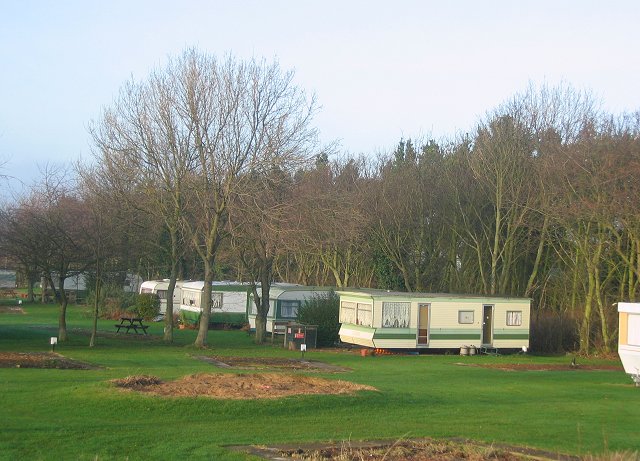
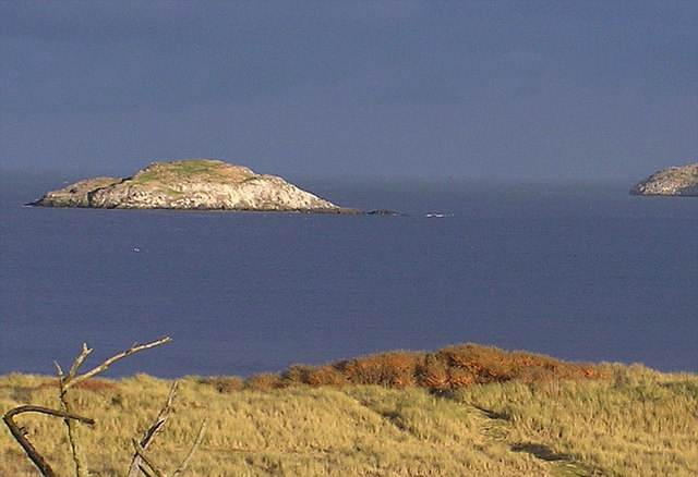
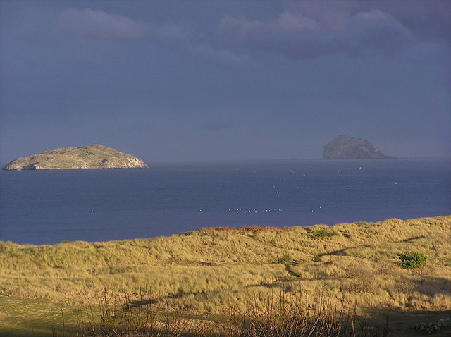
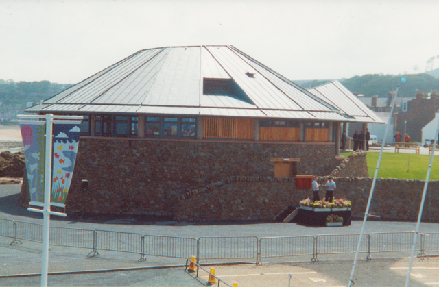
Strong's Hole Images
Images are sourced within 2km of 56.063807/-2.7416944 or Grid Reference NT5385. Thanks to Geograph Open Source API. All images are credited.

Strong's Hole is located at Grid Ref: NT5385 (Lat: 56.063807, Lng: -2.7416944)
Unitary Authority: East Lothian
Police Authority: The Lothians and Scottish Borders
What 3 Words
///comply.quickly.improvise. Near North Berwick, East Lothian
Nearby Locations
Related Wikis

Lamb (island)
Lamb, sometimes called Lamb Island or The Lamb, is a small uninhabited island measuring approximately 100 by 50 metres (330 ft × 160 ft), between the islands...

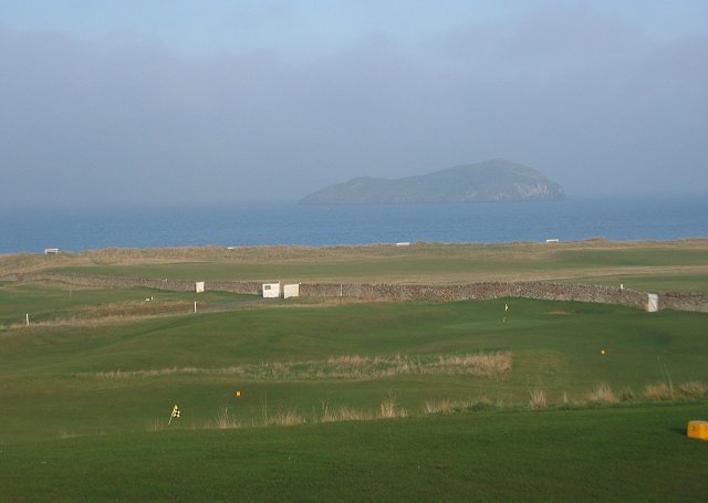
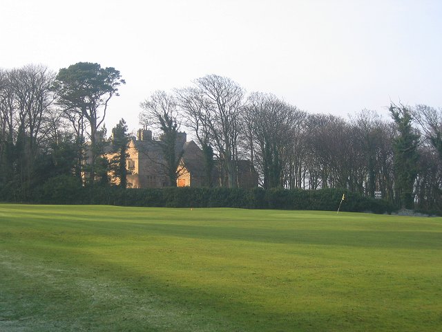
North Berwick West Links
One of two golf courses within North Berwick, the West Links is by far the more renowned. It regularly holds various championships and is used as a qualifying...

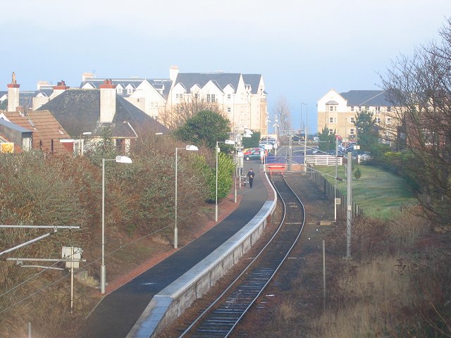
North Berwick railway station
North Berwick railway station is a railway station serving the seaside town of North Berwick in East Lothian, Scotland. It is the terminus of the Edinburgh...

Williamstown railway station (East Lothian)
Williamstown railway station was a railway station on the North Berwick Branch of the North British Railway in East Lothian, Scotland. This short-lived...
Nearby Amenities
Located within 500m of 56.063807,-2.7416944Have you been to Strong's Hole?
Leave your review of Strong's Hole below (or comments, questions and feedback).