Carlekemp Plantation
Wood, Forest in East Lothian
Scotland
Carlekemp Plantation
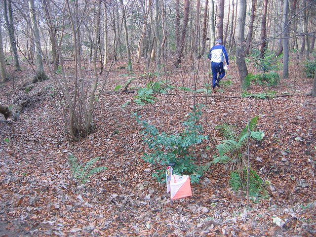
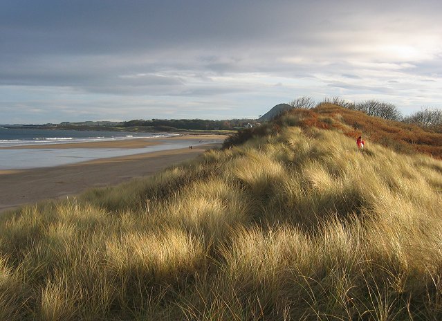
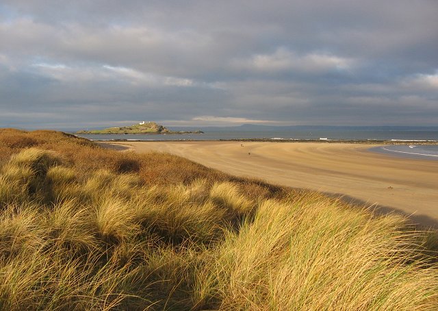
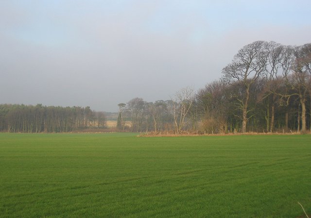
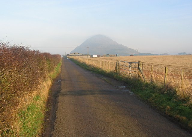
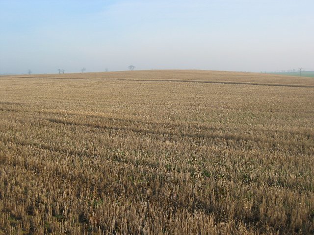
Carlekemp Plantation is a beautiful woodland located in East Lothian, Scotland. Spread across a vast area, the plantation is known for its dense forests and diverse range of trees. It is situated on the southern slopes of the Lammermuir Hills, providing visitors with stunning views of the surrounding countryside.
The plantation is primarily made up of coniferous trees, including Scots pine and Sitka spruce, which dominate the landscape. These tall and majestic trees create a serene and peaceful atmosphere, making it an ideal destination for nature lovers and hikers. The woodland floor is covered with a variety of plants and wildflowers, adding to the plantation's natural beauty.
Carlekemp Plantation is home to a wide range of wildlife, attracting birdwatchers and animal enthusiasts. The trees provide a habitat for various bird species, including the buzzard, sparrowhawk, and tawny owl. Visitors may also encounter deer, rabbits, and squirrels while exploring the woodland trails.
The plantation offers several well-marked walking trails, allowing visitors to explore the area at their own pace. These trails vary in length and difficulty, catering to both casual walkers and experienced hikers. Additionally, there are picnic areas and benches scattered throughout the woodland, providing opportunities for visitors to relax and enjoy the peaceful surroundings.
Carlekemp Plantation is easily accessible, with ample parking available for visitors. The plantation is open to the public year-round, making it a popular destination for outdoor activities and a tranquil escape from the bustling city life. It is a must-visit location for those seeking a connection with nature and a chance to immerse themselves in the beauty of East Lothian's woodlands.
If you have any feedback on the listing, please let us know in the comments section below.
Carlekemp Plantation Images
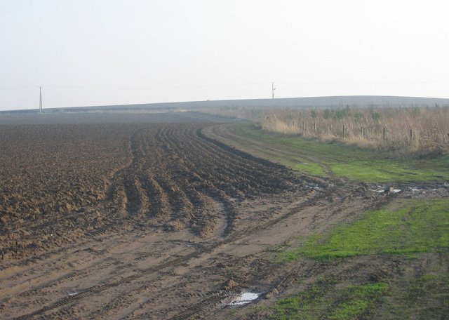
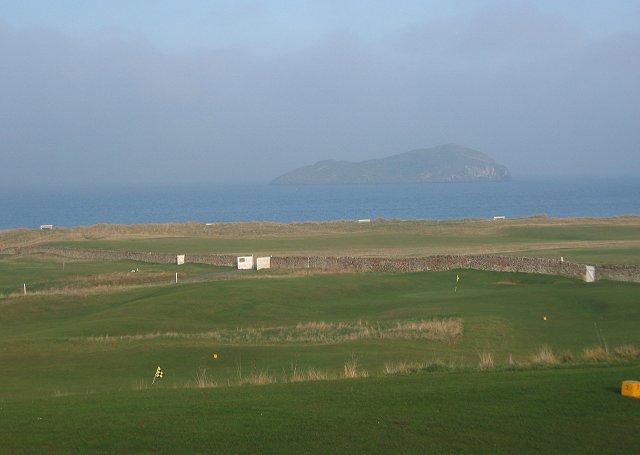
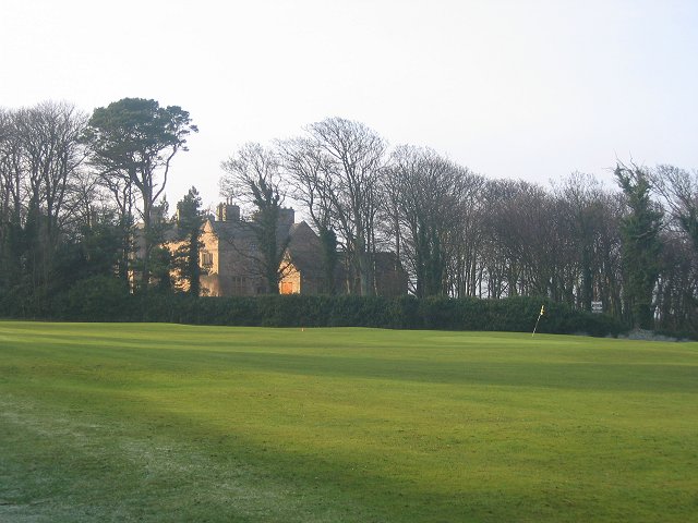
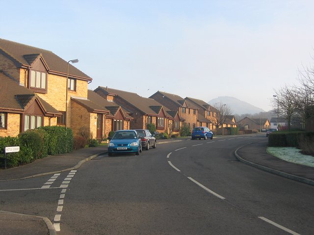
Images are sourced within 2km of 56.059585/-2.7459492 or Grid Reference NT5385. Thanks to Geograph Open Source API. All images are credited.

Carlekemp Plantation is located at Grid Ref: NT5385 (Lat: 56.059585, Lng: -2.7459492)
Unitary Authority: East Lothian
Police Authority: The Lothians and Scottish Borders
What 3 Words
///reissued.surfed.stay. Near North Berwick, East Lothian
Nearby Locations
Related Wikis

North Berwick West Links
One of two golf courses within North Berwick, the West Links is by far the more renowned. It regularly holds various championships and is used as a qualifying...

Williamstown railway station (East Lothian)
Williamstown railway station was a railway station on the North Berwick Branch of the North British Railway in East Lothian, Scotland. This short-lived...

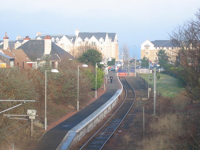
North Berwick railway station
North Berwick railway station is a railway station serving the seaside town of North Berwick in East Lothian, Scotland. It is the terminus of the Edinburgh...
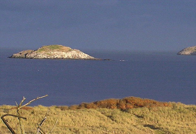
Lamb (island)
Lamb, sometimes called Lamb Island or The Lamb, is a small uninhabited island measuring approximately 100 by 50 metres (330 ft × 160 ft), between the islands...
Nearby Amenities
Located within 500m of 56.059585,-2.7459492Have you been to Carlekemp Plantation?
Leave your review of Carlekemp Plantation below (or comments, questions and feedback).