Cowton Rocks
Coastal Feature, Headland, Point in East Lothian
Scotland
Cowton Rocks
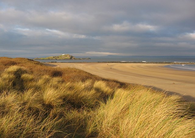
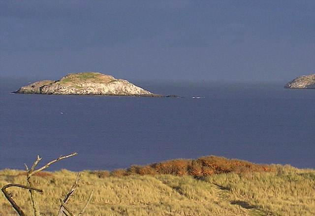
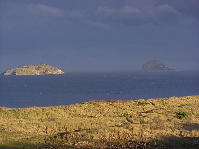
Cowton Rocks is a prominent coastal feature located in East Lothian, Scotland. It is classified as a headland or point due to its distinctive rocky formation that extends into the North Sea. Situated along the picturesque coastline, Cowton Rocks offers breathtaking views and is a popular destination for nature enthusiasts and outdoor adventurers.
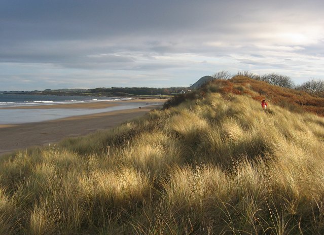
The headland is characterized by its rugged cliffs and exposed rock formations, which have been shaped by centuries of erosion from the crashing waves and strong winds. These geological features make Cowton Rocks a unique and visually striking landmark. The rock formations vary in size and shape, with some towering several meters above the sea level.
The area surrounding Cowton Rocks is rich in biodiversity, providing a habitat for a variety of marine and bird species. The headland is known to be a nesting site for several seabird species, including gulls, puffins, and guillemots, making it an important location for birdwatching enthusiasts.
Visitors to Cowton Rocks can enjoy scenic walks along the coastal path that runs adjacent to the headland. The path offers stunning panoramic views of the North Sea and the surrounding landscape. It is also a great spot for photography, with the dramatic cliffs and crashing waves providing an ideal backdrop.
Overall, Cowton Rocks is a must-visit destination for those seeking natural beauty and tranquility. Its unique geological features, diverse wildlife, and stunning coastal views make it a truly remarkable coastal feature in East Lothian.
If you have any feedback on the listing, please let us know in the comments section below.
Cowton Rocks Images
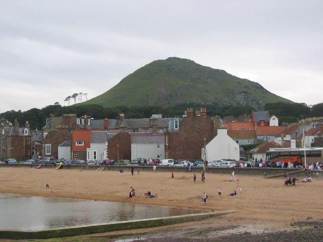
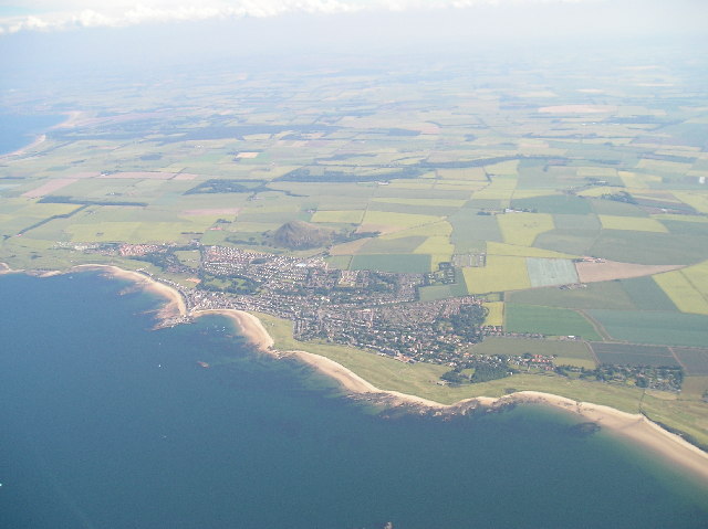
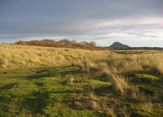
Images are sourced within 2km of 56.063058/-2.7436555 or Grid Reference NT5385. Thanks to Geograph Open Source API. All images are credited.
Cowton Rocks is located at Grid Ref: NT5385 (Lat: 56.063058, Lng: -2.7436555)
Unitary Authority: East Lothian
Police Authority: The Lothians and Scottish Borders
What 3 Words
///increases.physics.hourglass. Near North Berwick, East Lothian
Nearby Locations
Related Wikis

Lamb (island)
Lamb, sometimes called Lamb Island or The Lamb, is a small uninhabited island measuring approximately 100 by 50 metres (330 ft × 160 ft), between the islands...

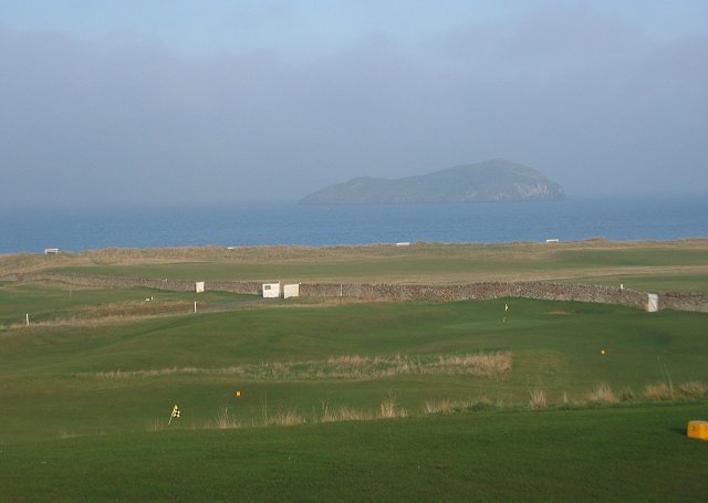
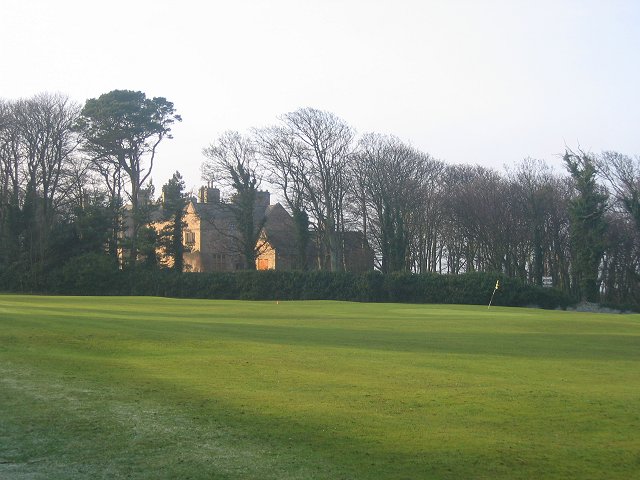
North Berwick West Links
One of two golf courses within North Berwick, the West Links is by far the more renowned. It regularly holds various championships and is used as a qualifying...

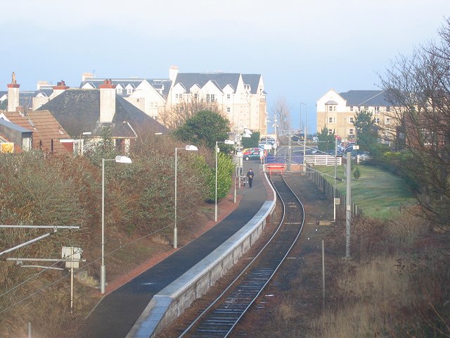
North Berwick railway station
North Berwick railway station is a railway station serving the seaside town of North Berwick in East Lothian, Scotland. It is the terminus of the Edinburgh...

Williamstown railway station (East Lothian)
Williamstown railway station was a railway station on the North Berwick Branch of the North British Railway in East Lothian, Scotland. This short-lived...
Nearby Amenities
Located within 500m of 56.063058,-2.7436555Have you been to Cowton Rocks?
Leave your review of Cowton Rocks below (or comments, questions and feedback).