Black Murphies

Island in East Lothian

Scotland

Black Murphies

North Berwick Law from Yellowcraigs Busy beach on warm Good Friday 2005
North Berwick Law from Yellowcraigs Credit: paul birrell

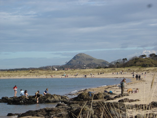
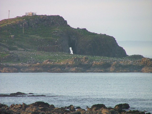
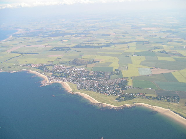
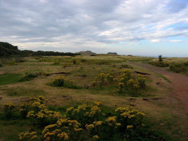
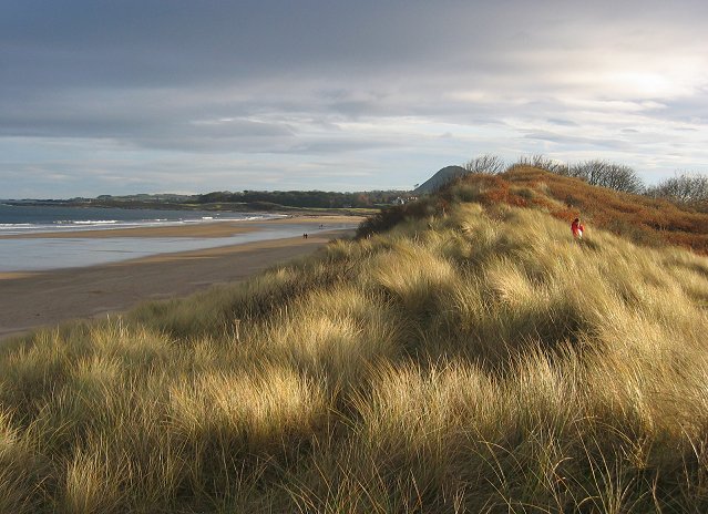
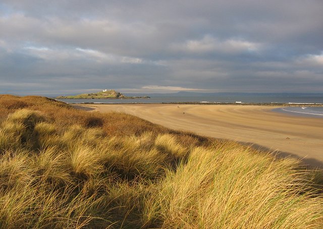
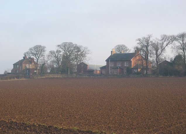
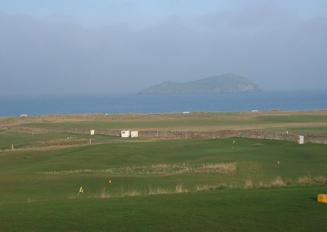
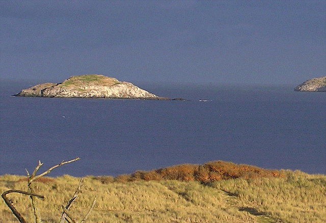
Black Murphies is a small island located off the coast of East Lothian, Scotland. With a total area of approximately 0.04 square kilometers, it is one of the many islands that make up the Firth of Forth. The island is uninhabited and is primarily known for its unique wildlife and natural beauty.

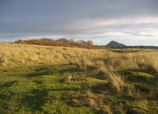
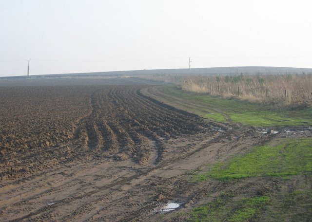
Black Murphies is characterized by its rugged coastline, consisting of sheer cliffs and rocky outcrops. The island is predominantly covered in grass and low-lying vegetation, with a few scattered trees dotting the landscape. The absence of human presence has allowed for the flourishing of various species of birds, making it a popular spot for birdwatching enthusiasts.

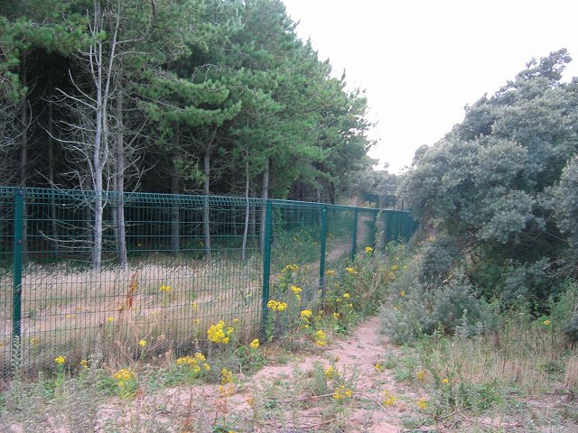
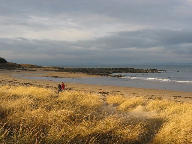
Access to Black Murphies is possible by boat, and there are no facilities or amenities available on the island. Due to its size and lack of infrastructure, it is not suitable for overnight stays or extended visits. Nevertheless, it attracts visitors who appreciate the tranquility and solitude it offers.

The island's name, Black Murphies, is believed to have originated from the local dialect, with "Murphies" referring to potatoes. However, the reason behind this name remains unclear.

Overall, Black Murphies is a picturesque and remote island that provides a unique opportunity to enjoy the beauty of nature in its purest form. Whether it is observing the diverse bird species or simply reveling in the peacefulness of the surroundings, a visit to Black Murphies is sure to leave a lasting impression on any nature lover.

If you have any feedback on the listing, please let us know in the comments section below.

Black Murphies Images

Images are sourced within 2km of 56.061357/-2.7544949 or Grid Reference NT5385. Thanks to Geograph Open Source API. All images are credited.

North Berwick Law from Yellowcraigs Busy beach on warm Good Friday 2005
North Berwick Law from Yellowcraigs
Busy beach on warm Good Friday 2005
Yellow Craig looking North to Fidra -
Yellow Craig looking North to Fidra
-
Dirleton Parish Church This church located in the beautiful East Lothian village of Dirleton dates from 1661
Dirleton Parish Church
This church located in the beautiful East Lothian village of Dirleton dates from 1661
North Berwick and East Fortune Taken from a microlight at about 6000 ft
North Berwick and East Fortune
Taken from a microlight at about 6000 ft
Yellow Craig. Country park with a fine beach beside Fidra. Lots of good views over several Forth islands.
Yellow Craig.
Country park with a fine beach beside Fidra. Lots of good views over several Forth islands.
Archerfield  Fence. An American style exclusive golf resort puts up its defences. Only Scotland does not have American style repressive access legislation. This is currently causing some heated feelings with local folk and could be heading to the courts.  It is apparently still possible to walk from Yellow Craig to Gullane, but not as pleasant or easy as it was a year ago.
According to the RA press release, planning permission was granted as it would prevent the inhabitants of the new village accessing the beach, for environmental reasons - all can still access the beaches by walking a bit. That's how goml defences should work. We don't get in - they don't get out.
Archerfield Fence.
An American style exclusive golf resort puts up its defences. Only Scotland does not have American style repressive access legislation. This is currently causing some heated feelings with local folk and could be heading to the courts. It is apparently still possible to walk from Yellow Craig to Gullane, but not as pleasant or easy as it was a year ago. According to the RA press release, planning permission was granted as it would prevent the inhabitants of the new village accessing the beach, for environmental reasons - all can still access the beaches by walking a bit. That's how goml defences should work. We don't get in - they don't get out.
Yellow Craig Plantation. Leaving a ditch bend at the Interlopers club championships (orienteering).  A sycamore and Scots pine wood behind Yellow Craigs dunes.
Yellow Craig Plantation.
Leaving a ditch bend at the Interlopers club championships (orienteering). A sycamore and Scots pine wood behind Yellow Craigs dunes.
East Links Looking east along the links towards North Berwick Law.  A patch of rabbit grazed links land. Presume the name means Dirleton's East Links, move a little to the east and you arrive at (North Berwick's) West links.
East Links
Looking east along the links towards North Berwick Law. A patch of rabbit grazed links land. Presume the name means Dirleton's East Links, move a little to the east and you arrive at (North Berwick's) West links.
Broad Sands. Beach and dunes just west of North Berwick. Looking east.
Broad Sands.
Beach and dunes just west of North Berwick. Looking east.
Broad Sands. View north west along the beach towards Fidra.
Broad Sands.
View north west along the beach towards Fidra.
Yellowcraig  Beach View west along the beach.
Yellowcraig Beach
View west along the beach.
Farmland outside Dirleton. The first fields after the links. Beyond the woods are the dunes and coast. Looking north.
Farmland outside Dirleton.
The first fields after the links. Beyond the woods are the dunes and coast. Looking north.
Ferrygate
Ferrygate
Ferrygate Newly ploughed sandy soil, looking south. There is a new small woodland to the right.
Ferrygate
Newly ploughed sandy soil, looking south. There is a new small woodland to the right.
West Links. With Craigleith offshore.
West Links.
With Craigleith offshore.
Carlekemp. Big house across the West Links. Formerly the preparatory school for St Augustus Abbey.
Carlekemp.
Big house across the West Links. Formerly the preparatory school for St Augustus Abbey.
Golf Hotel, North Berwick Amongst a lot of big houses on the road into North Berwick from the west.
Golf Hotel, North Berwick
Amongst a lot of big houses on the road into North Berwick from the west.
New houses, North Berwick. North Berwick, with its surviving railway link is one of the most expensive places to live in Scotland.
New houses, North Berwick.
North Berwick, with its surviving railway link is one of the most expensive places to live in Scotland.
Show me another place!

Black Murphies is located at Grid Ref: NT5385 (Lat: 56.061357, Lng: -2.7544949)

Unitary Authority: East Lothian

Police Authority: The Lothians and Scottish Borders

What 3 Words

///audio.fabric.envoy. Near North Berwick, East Lothian

Related Wikis

North Berwick West Links

One of two golf courses within North Berwick, the West Links is by far the more renowned. It regularly holds various championships and is used as a qualifying...

Lamb (island)

Lamb, sometimes called Lamb Island or The Lamb, is a small uninhabited island measuring approximately 100 by 50 metres (330 ft × 160 ft), between the islands...

Yellowcraig

Yellowcraig, also known as Broad Sands Beach, is a coastal area of forest, beach and grassland in East Lothian, south-east Scotland. Yellowcraig is partly...

Williamstown railway station (East Lothian)

Williamstown railway station was a railway station on the North Berwick Branch of the North British Railway in East Lothian, Scotland. This short-lived...

Nearby Amenities

Located within 500m of 56.061357,-2.7544949
Created By: almien_coastlines
Lat/Long: 56.061152/-2.747061
Created By: almien_coastlines
Lat/Long: 56.060898/-2.747978
Created By: almien_coastlines
Lat/Long: 56.059622/-2.750275
Created By: almien_coastlines
Lat/Long: 56.059631/-2.754852
The data included in this document is from www.openstreetmap.org. The data is made available under ODbL.

Have you been to Black Murphies?

Leave your review of Black Murphies below (or comments, questions and feedback).