Brandelhow Bay
Bay in Cumberland Allerdale
England
Brandelhow Bay
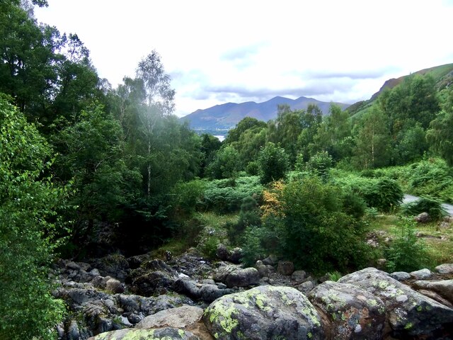
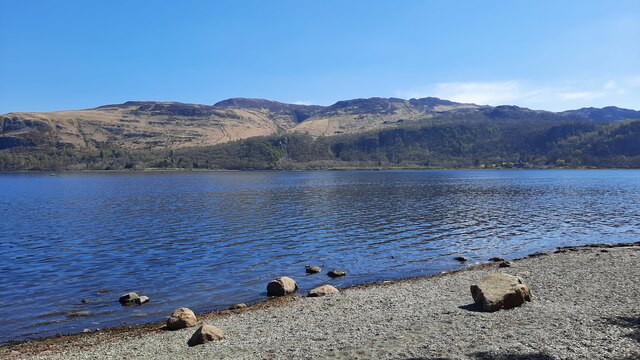
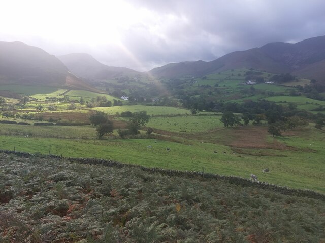
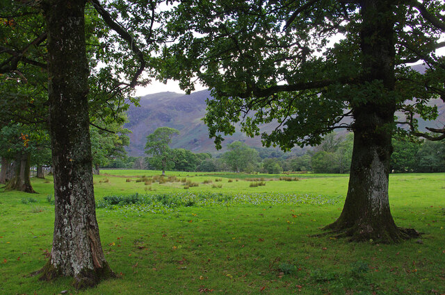
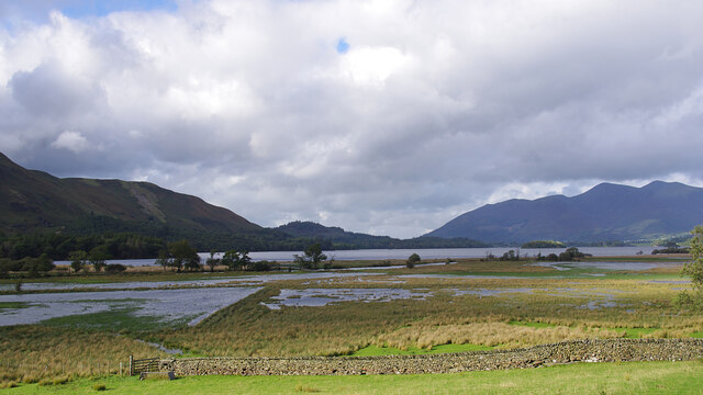
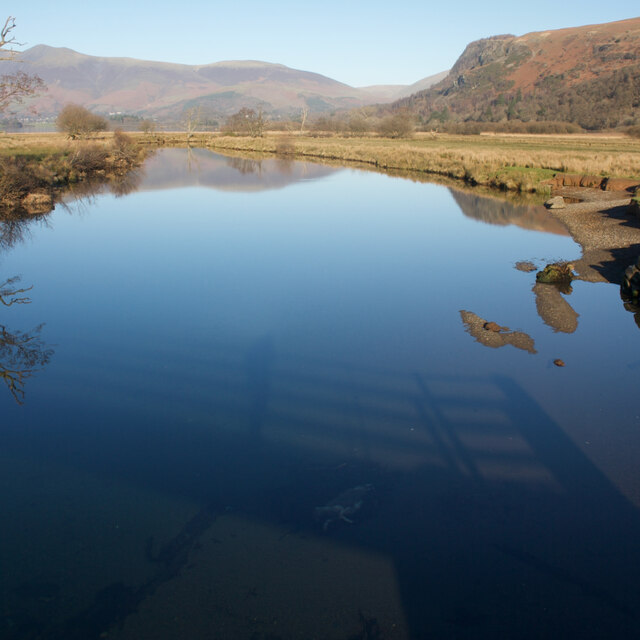
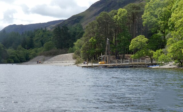
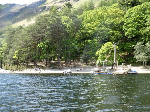
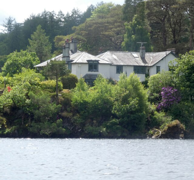
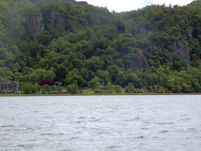
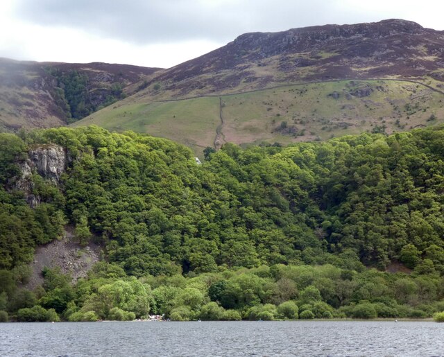
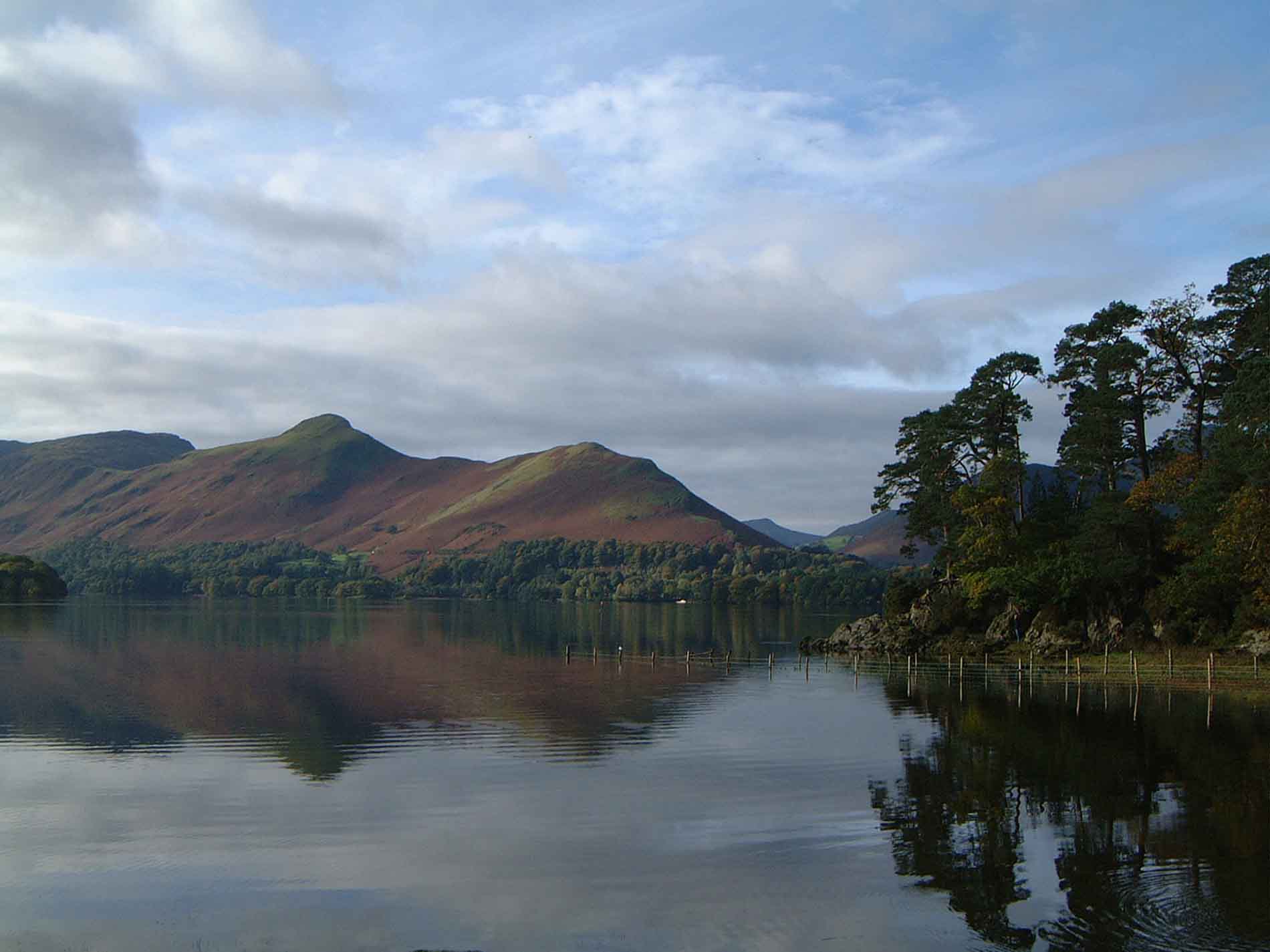
Brandelhow Bay is a picturesque bay located in the Lake District National Park in Cumberland, England. Situated on the western shore of Derwentwater, it offers stunning views of the surrounding mountains and is a popular destination for nature lovers and outdoor enthusiasts.
The bay is characterized by its tranquil and unspoiled beauty, with a pebble beach and crystal-clear waters. The beach is perfect for relaxing, picnicking, or taking a leisurely stroll along the shoreline. Visitors can enjoy the peaceful atmosphere, listening to the gentle lapping of the water and the song of birds.
The bay is surrounded by dense woodlands, providing a haven for wildlife. It is a designated Site of Special Scientific Interest (SSSI) due to the diversity of plant species found in the area, including rare ferns and mosses. It is not uncommon to spot red squirrels, deer, and a variety of bird species, such as ospreys and kingfishers.
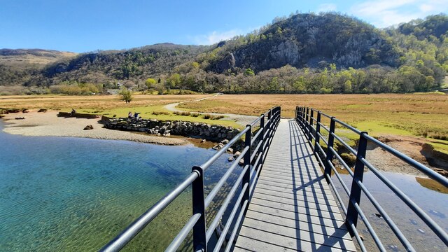
Brandelhow Bay is easily accessible by foot or by boat. There are several walking trails that lead to the bay, offering breathtaking views along the way. Boaters can take advantage of the nearby Derwentwater Marina, where they can rent kayaks, canoes, or rowing boats to explore the bay and its surroundings.
Overall, Brandelhow Bay is a hidden gem within the Lake District National Park, offering a peaceful retreat for those seeking natural beauty and tranquility. Its idyllic setting and diverse wildlife make it a must-visit destination for anyone exploring the area.
If you have any feedback on the listing, please let us know in the comments section below.
Brandelhow Bay Images
Images are sourced within 2km of 54.566057/-3.1580691 or Grid Reference NY2519. Thanks to Geograph Open Source API. All images are credited.

Brandelhow Bay is located at Grid Ref: NY2519 (Lat: 54.566057, Lng: -3.1580691)
Administrative County: Cumbria
District: Allerdale
Police Authority: Cumbria
What 3 Words
///tinny.erupt.nags. Near Keswick, Cumbria
Nearby Locations
Related Wikis
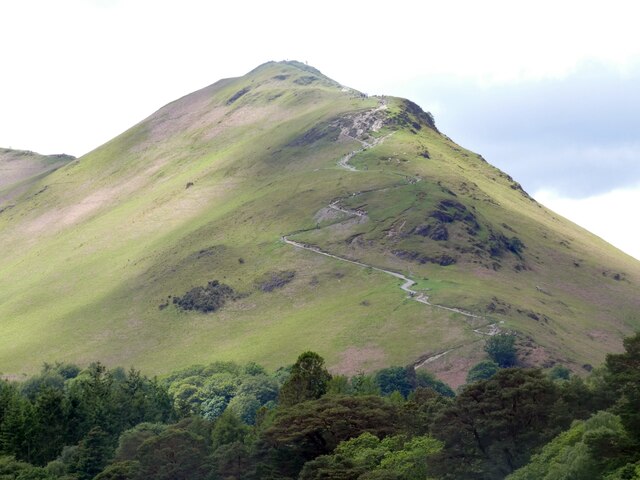
Cat Bells
Cat Bells is a fell in the English Lake District in the county of Cumbria. It has a height of 451 metres (1,480 ft) and is one of the most popular fells...

Cataract of Lodore
"The Cataract of Lodore" is a poem written in 1820 by the English poet Robert Southey which describes the Lodore Falls on the Watendlath. == Publication... ==

Lodore Falls
Lodore Falls is a waterfall in Cumbria, England, close to Derwentwater and downstream from Watendlath. The falls are located on the beck that flows from...
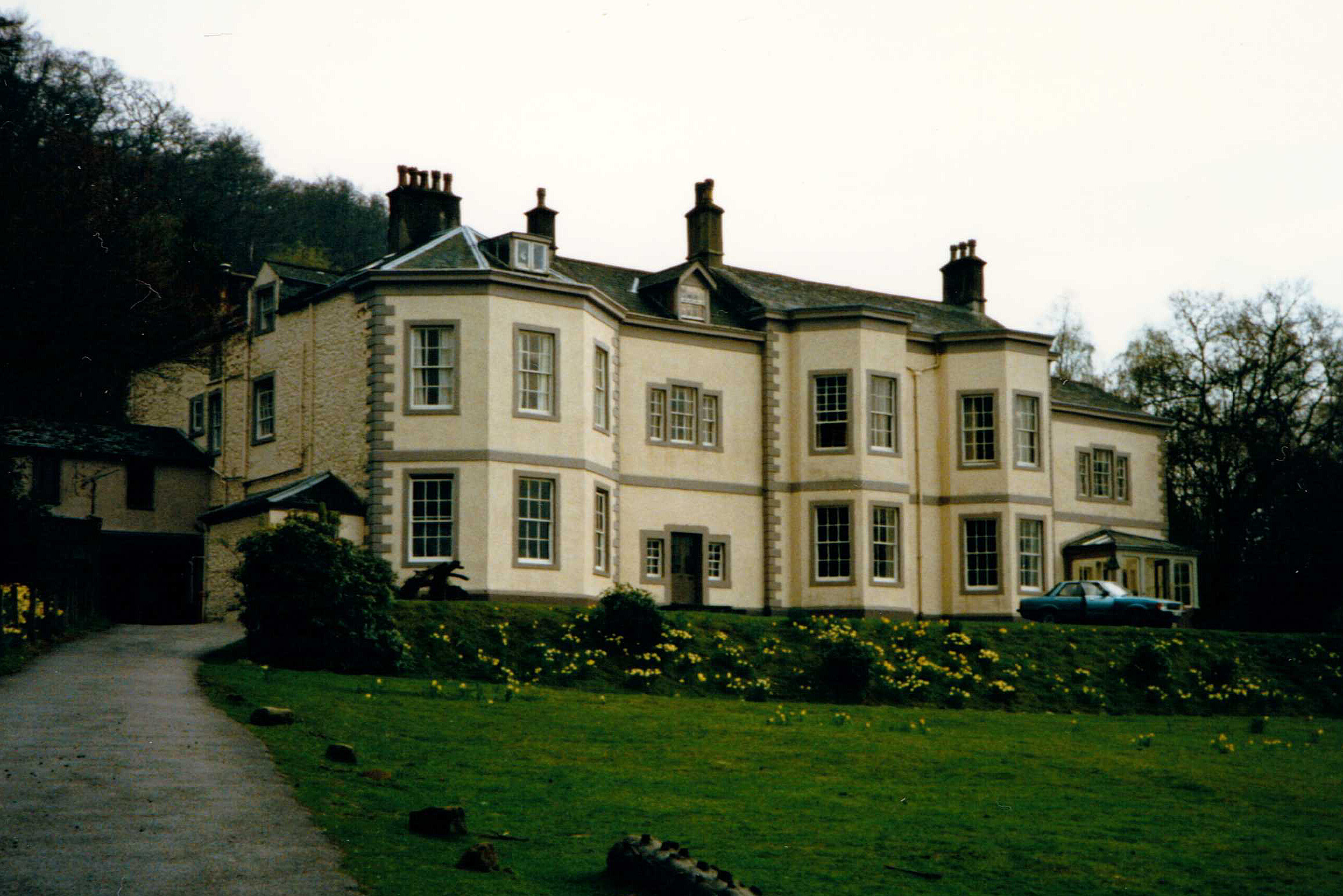
Barrow House, Cumbria
Barrow House is a late 18th-century mansion situated on the eastern shore of Derwentwater in Borrowdale within the Lake District National Park, in the...

Little Town, Cumbria
Little Town is a hamlet in the civil parish of Above Derwent, in the Allerdale district of Cumbria, England. It is in the Workington constituency of the...
Rigg Beck
Rigg Beck is a minor river of Cumbria in England. Rigg Beck is also the name of a famous dwelling – the Purple House – placed where the Beck crosses the...
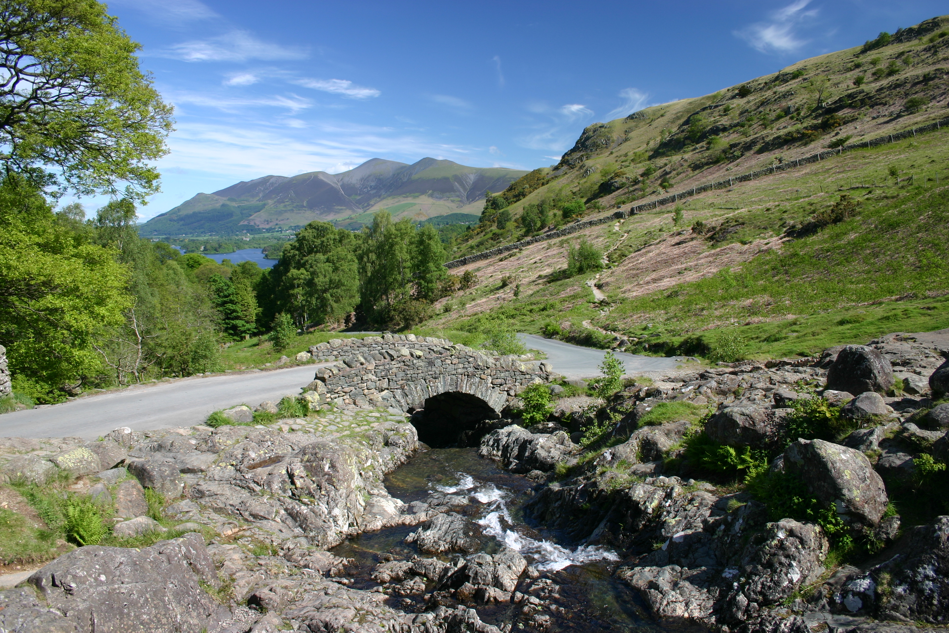
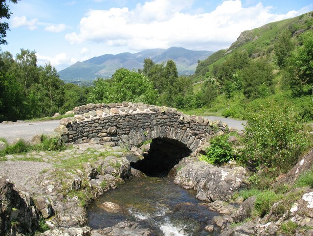
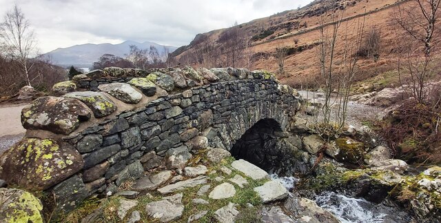
Ashness Bridge
Ashness Bridge is a traditional stone-built bridge on the single-track road from the Borrowdale road (B5289) to Watendlath, in the English Lake District...

Newlands Valley
The Newlands Valley is in the Lake District National Park in Cumbria, England. It is regarded as one of the most picturesque and quiet valleys in the national...
Nearby Amenities
Located within 500m of 54.566057,-3.1580691Have you been to Brandelhow Bay?
Leave your review of Brandelhow Bay below (or comments, questions and feedback).