Myrtle Bay
Lake, Pool, Pond, Freshwater Marsh in Cumberland Allerdale
England
Myrtle Bay
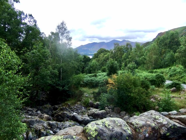
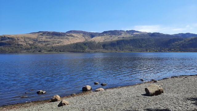
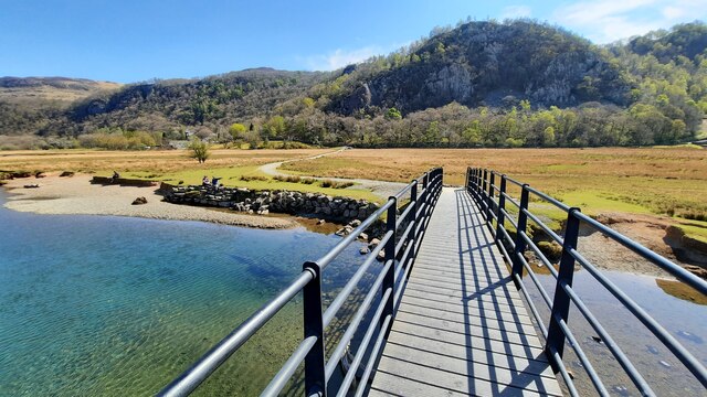
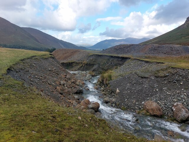
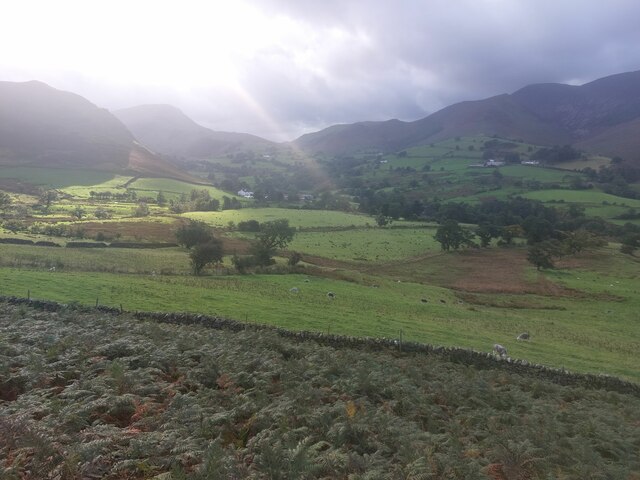
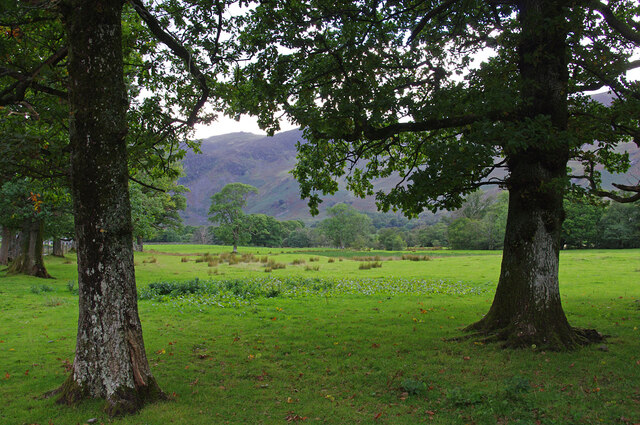
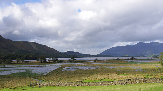
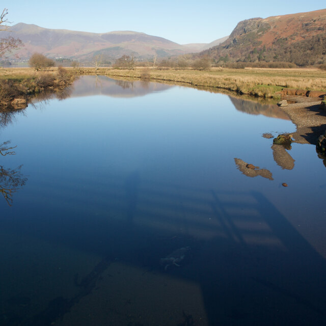
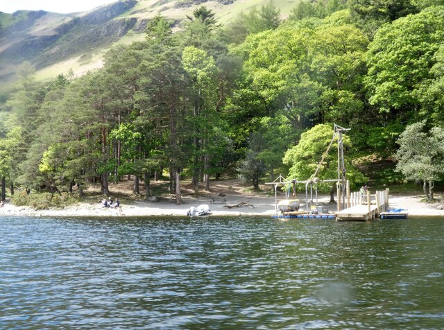
Myrtle Bay is a picturesque and serene freshwater ecosystem located in Cumberland County, renowned for its diverse and abundant aquatic life. Situated amidst lush greenery, the bay encompasses a lake, a pool, a pond, and a freshwater marsh, offering a rich and varied habitat for numerous species.
The centerpiece of Myrtle Bay is the crystal-clear lake, covering a significant portion of the area. The lake is surrounded by dense vegetation, providing a natural shield and creating a secluded and tranquil environment. It serves as a home to a wide range of fish species, including bass, trout, and catfish, attracting fishing enthusiasts from near and far.
Adjacent to the lake is a smaller pool, a shallow and calm body of water perfect for leisurely swimming or water play. This pool is ideal for families, offering a safe and peaceful spot for children to enjoy the water while being supervised.
Towards the southern part of Myrtle Bay lies a serene and tranquil pond. This smaller body of water is home to various aquatic plants, such as lilies and reeds, offering a habitat for amphibians like frogs and turtles. Birdwatchers will find this spot particularly enticing, as it attracts colorful waterfowl and other avian species.
Lastly, the freshwater marsh in Myrtle Bay forms a vital ecosystem, supporting a diverse array of plant and animal life. The marshland is characterized by its marsh grasses and cattails, providing nesting areas for waterfowl like ducks and geese. It also acts as a natural filtration system, purifying the surrounding water and maintaining the overall health of the bay.
Overall, Myrtle Bay in Cumberland County is a haven for nature enthusiasts, offering a harmonious blend of lakes, pools, ponds, and freshwater marshes, providing a sanctuary for both aquatic and terrestrial life.
If you have any feedback on the listing, please let us know in the comments section below.
Myrtle Bay Images
Images are sourced within 2km of 54.562833/-3.1530751 or Grid Reference NY2519. Thanks to Geograph Open Source API. All images are credited.

Myrtle Bay is located at Grid Ref: NY2519 (Lat: 54.562833, Lng: -3.1530751)
Administrative County: Cumbria
District: Allerdale
Police Authority: Cumbria
What 3 Words
///promise.duration.sprains. Near Keswick, Cumbria
Nearby Locations
Related Wikis

Cataract of Lodore
"The Cataract of Lodore" is a poem written in 1820 by the English poet Robert Southey which describes the Lodore Falls on the Watendlath. == Publication... ==

Lodore Falls
Lodore Falls is a waterfall in Cumbria, England, close to Derwentwater and downstream from Watendlath. The falls are located on the beck that flows from...
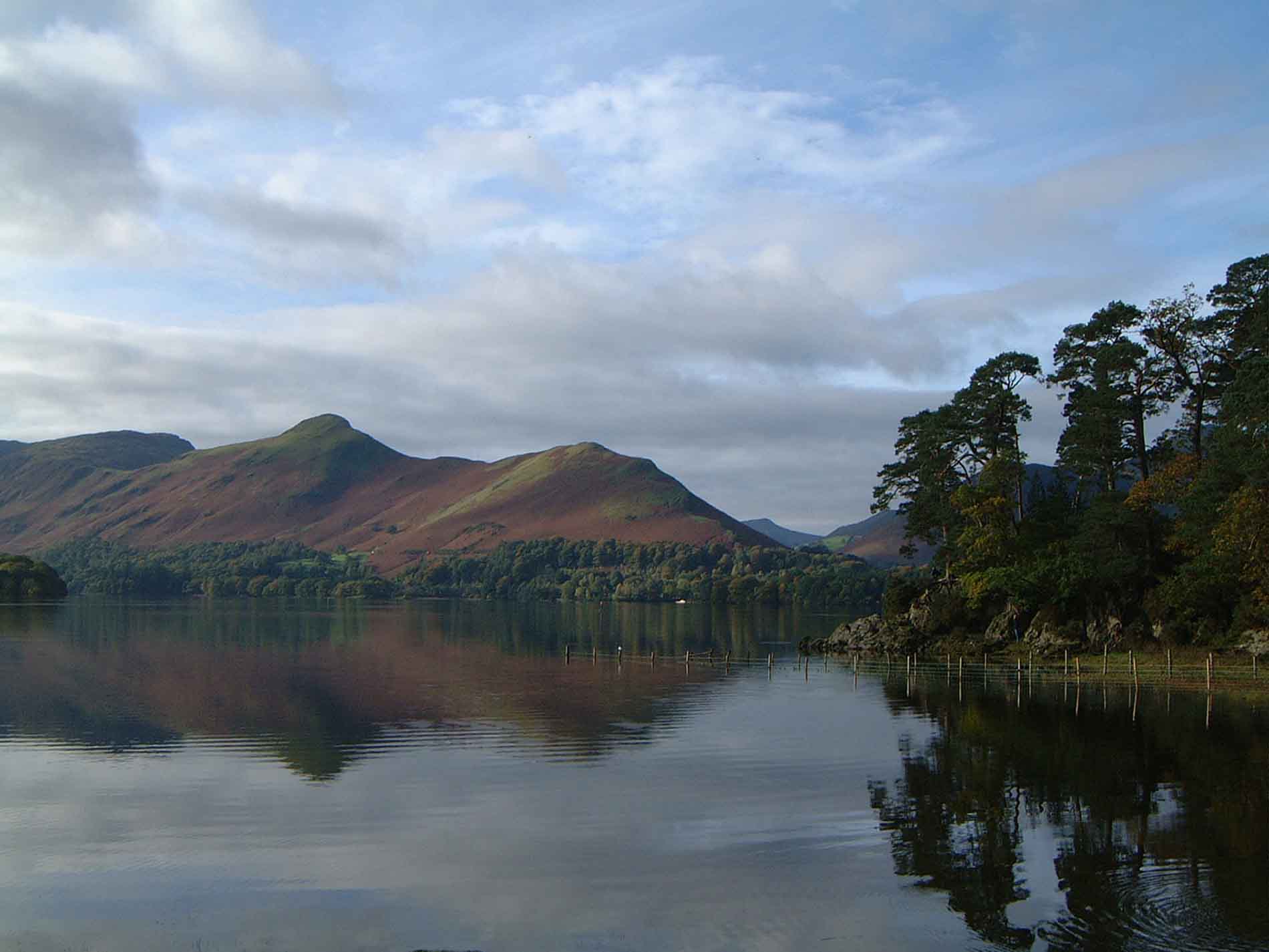
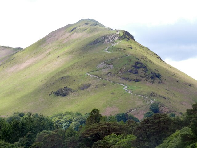
Cat Bells
Cat Bells is a fell in the English Lake District in the county of Cumbria. It has a height of 451 metres (1,480 ft) and is one of the most popular fells...
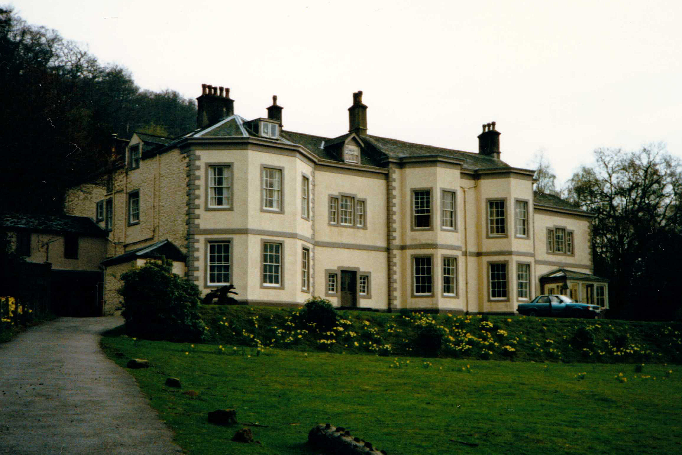
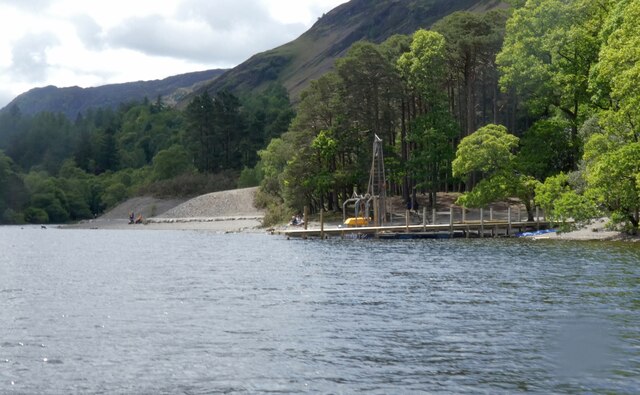
Barrow House, Cumbria
Barrow House is a late 18th-century mansion situated on the eastern shore of Derwentwater in Borrowdale within the Lake District National Park, in the...
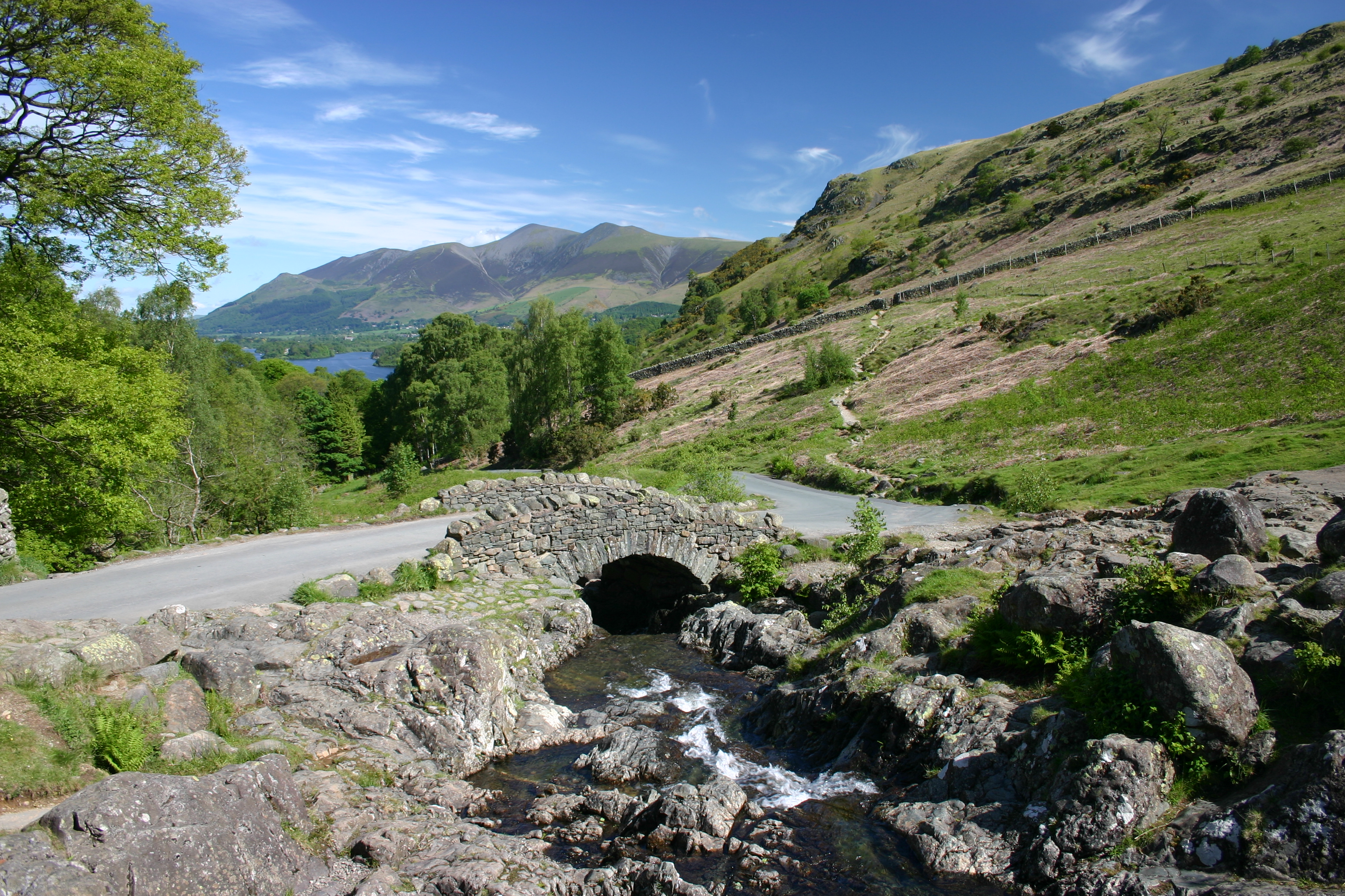
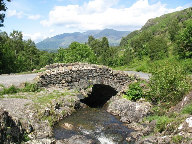
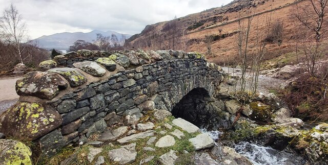
Ashness Bridge
Ashness Bridge is a traditional stone-built bridge on the single-track road from the Borrowdale road (B5289) to Watendlath, in the English Lake District...

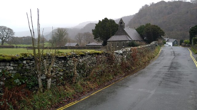
Grange in Borrowdale
Grange, often called Grange in Borrowdale, is a village in Borrowdale in the English Lake District. It lies just off the B5289 road to the south of Derwent...

Little Town, Cumbria
Little Town is a hamlet in the civil parish of Above Derwent, in the Allerdale district of Cumbria, England. It is in the Workington constituency of the...

Maiden Moor
Maiden Moor is a fell in the English Lake District, it stands 6 km (3+3⁄4 miles) south of the town of Keswick and is part of the high ground that separates...
Nearby Amenities
Located within 500m of 54.562833,-3.1530751Have you been to Myrtle Bay?
Leave your review of Myrtle Bay below (or comments, questions and feedback).