Otter Island
Island in Cumberland Allerdale
England
Otter Island

Otter Island is a small islet located off the coast of Cumberland Island in the state of Georgia, United States. Part of the Cumberland Island National Seashore, Otter Island measures approximately 1 mile in length and is situated in the Atlantic Ocean, just south of the larger Cumberland Island.
The island is characterized by its pristine beaches, unspoiled natural habitats, and diverse wildlife. It is particularly known for being a nesting ground for several species of sea turtles, including the loggerhead, leatherback, and green turtles. Otter Island provides a crucial breeding site for these endangered species, offering them a safe haven away from human disturbance.
The island's landscape is dominated by sandy shores and rolling sand dunes, with pockets of maritime forest and marshes interspersed throughout. Visitors to Otter Island can enjoy a variety of activities, such as hiking, birdwatching, and beachcombing. The area surrounding the island is also popular for boating and fishing.
Access to Otter Island is limited, as it is primarily a protected area. Visitors can reach the island by private boat or by joining guided tours organized by the National Park Service. These tours aim to educate visitors about the island's unique ecosystems and the importance of conservation efforts.
Overall, Otter Island is a picturesque and ecologically significant destination within the Cumberland Island National Seashore, offering visitors the opportunity to experience the beauty of Georgia's coastal wilderness while supporting the preservation of its natural resources.
If you have any feedback on the listing, please let us know in the comments section below.
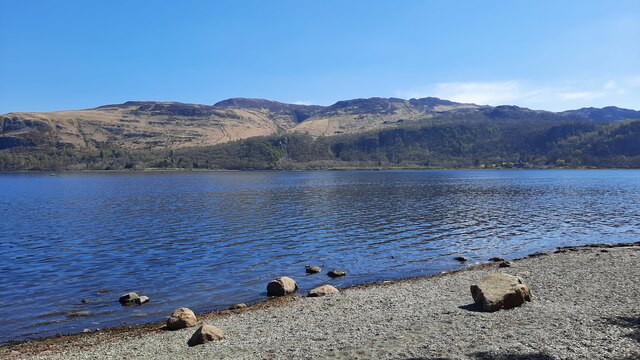
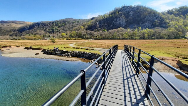
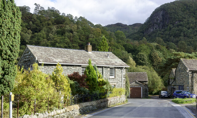
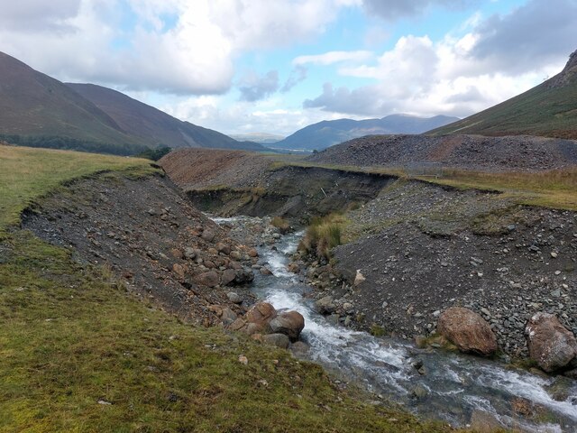
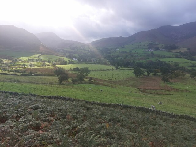
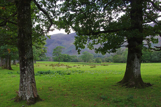
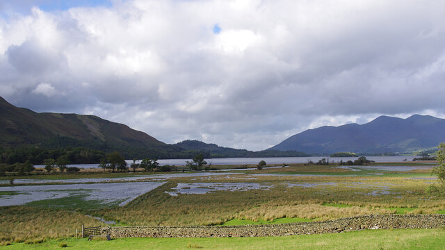
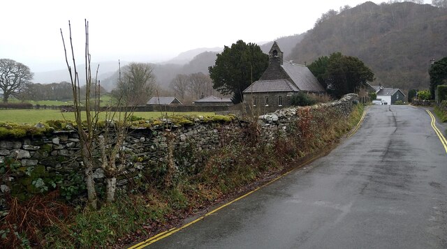
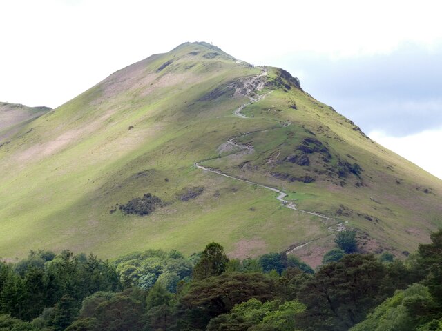
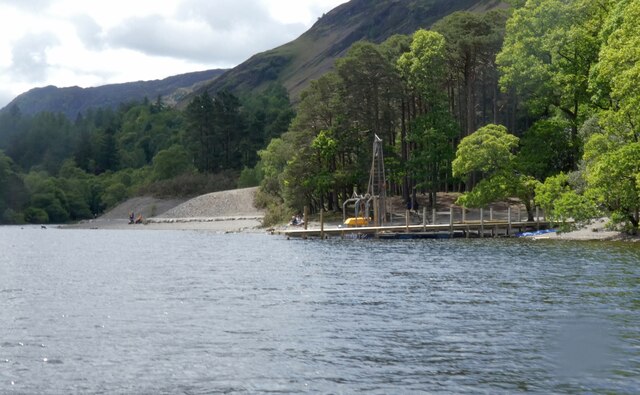
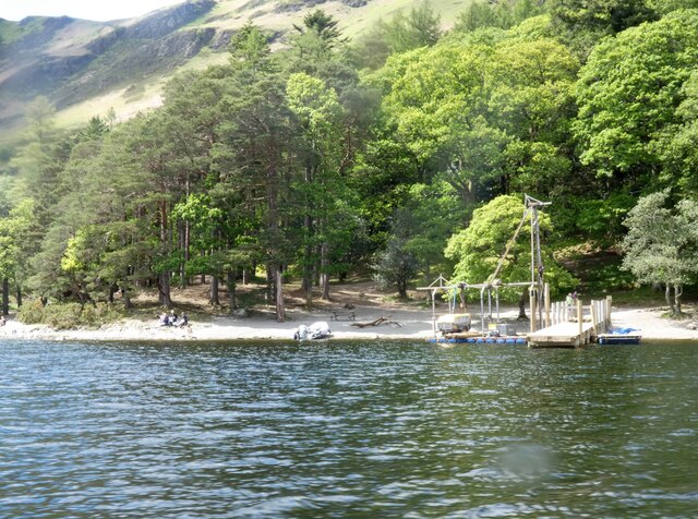
Otter Island Images
Images are sourced within 2km of 54.564436/-3.1565229 or Grid Reference NY2519. Thanks to Geograph Open Source API. All images are credited.


Otter Island is located at Grid Ref: NY2519 (Lat: 54.564436, Lng: -3.1565229)
Administrative County: Cumbria
District: Allerdale
Police Authority: Cumbria
What 3 Words
///snappy.bluffing.ruling. Near Keswick, Cumbria
Nearby Locations
Related Wikis
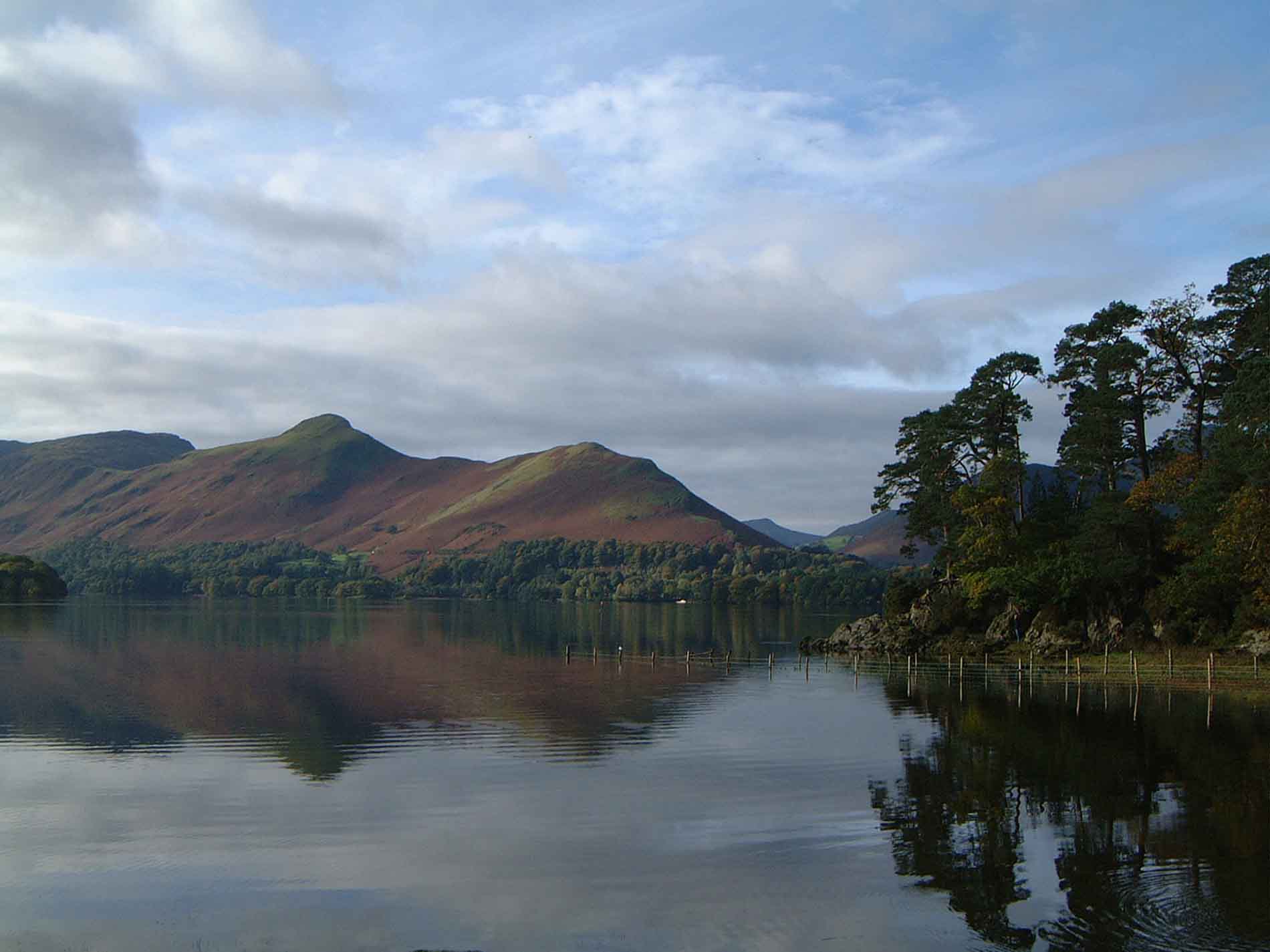
Cat Bells
Cat Bells is a fell in the English Lake District in the county of Cumbria. It has a height of 451 metres (1,480 ft) and is one of the most popular fells...

Cataract of Lodore
"The Cataract of Lodore" is a poem written in 1820 by the English poet Robert Southey which describes the Lodore Falls on the Watendlath. == Publication... ==

Lodore Falls
Lodore Falls is a waterfall in Cumbria, England, close to Derwentwater and downstream from Watendlath. The falls are located on the beck that flows from...
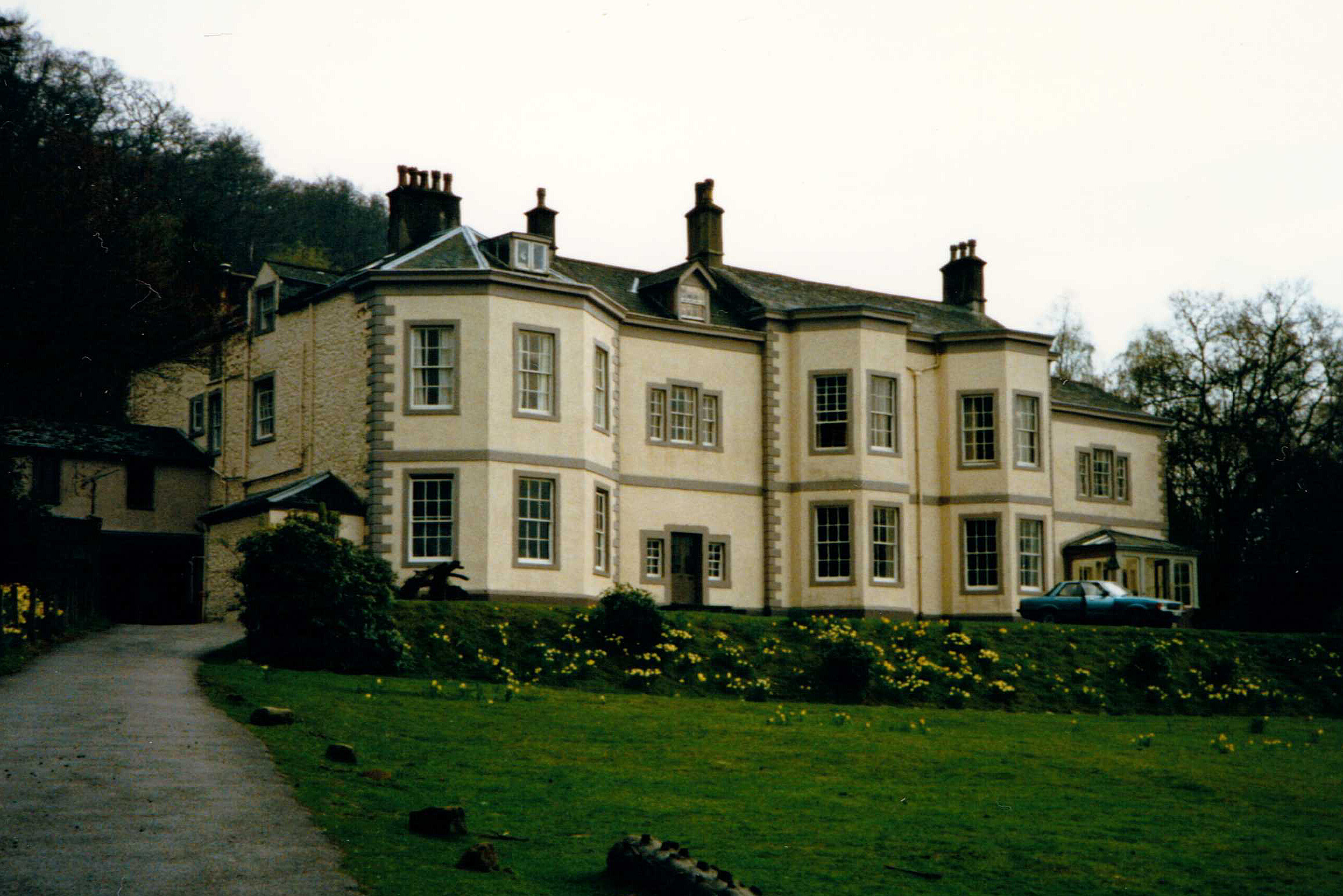
Barrow House, Cumbria
Barrow House is a late 18th-century mansion situated on the eastern shore of Derwentwater in Borrowdale within the Lake District National Park, in the...
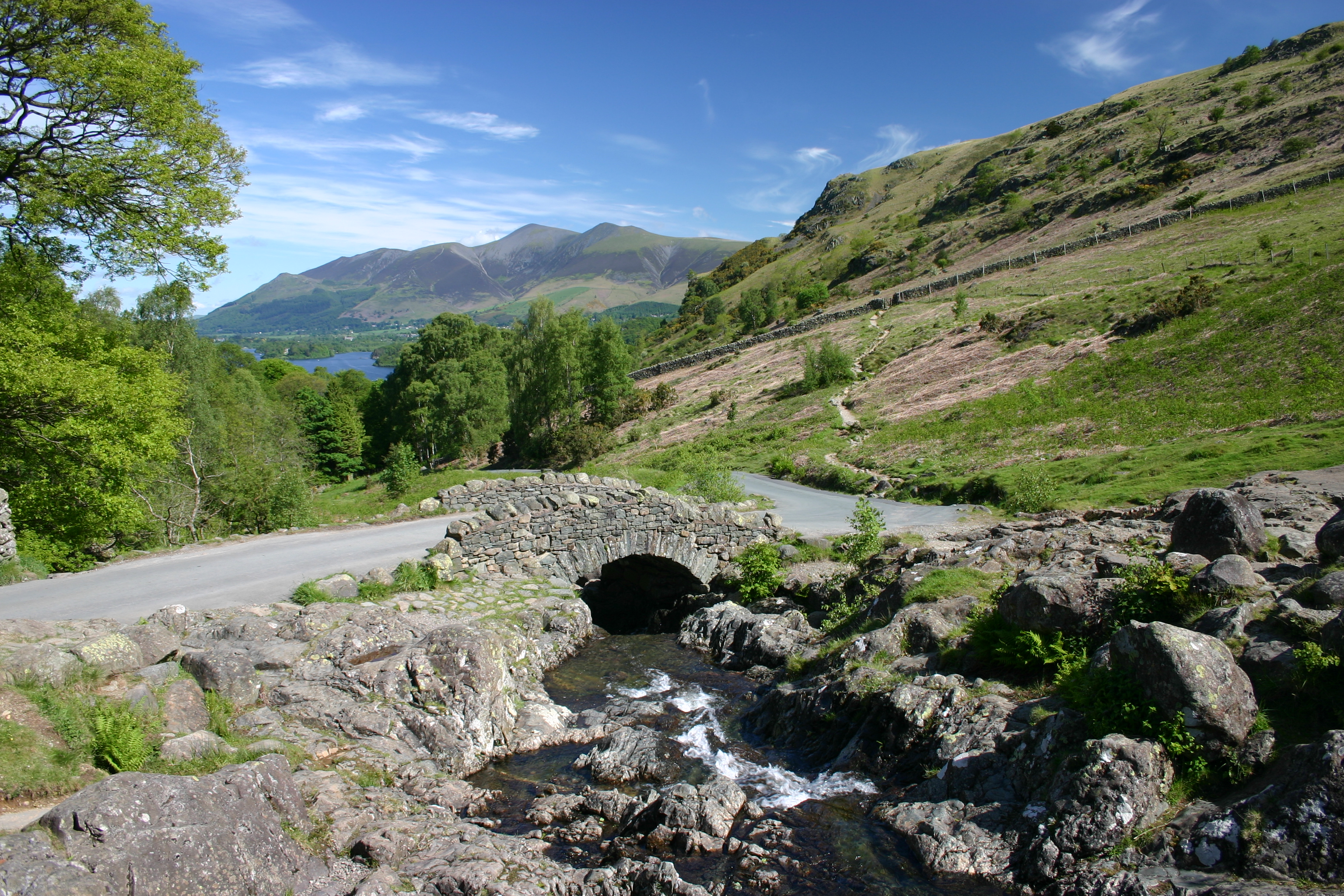
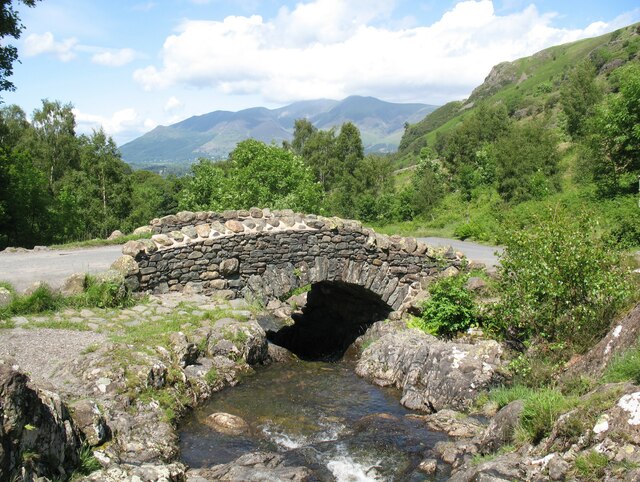
Ashness Bridge
Ashness Bridge is a traditional stone-built bridge on the single-track road from the Borrowdale road (B5289) to Watendlath, in the English Lake District...

Little Town, Cumbria
Little Town is a hamlet in the civil parish of Above Derwent, in the Allerdale district of Cumbria, England. It is in the Workington constituency of the...
Rigg Beck
Rigg Beck is a minor river of Cumbria in England. Rigg Beck is also the name of a famous dwelling – the Purple House – placed where the Beck crosses the...

Grange in Borrowdale
Grange, often called Grange in Borrowdale, is a village in Borrowdale in the English Lake District. It lies just off the B5289 road to the south of Derwent...
Related Videos

Hiking Catbells - A Group Hike Meet-Up
A group hiking meet-up, led by @talesofahiker, taking us up Catbells in the Lake District during Storm Ciara. Follow my ...

Climbing Catbells: Exploring Nature's Beauty on a Lake District Hiking Trail. | 4K
https://www.youtube.com/watch?v=X68coFej5h8 Click above to watch previous video. Click SUBSCRIBE to see more of my ...

English Lake District | Catbells Mountain Keswick #adventure #england #shortsfeed
travel #asmr #hiking This beautiful short hike in the Lake District national park, has quickly become one of my favourites.

Hiking Cat Bells : 3D Aerial Fly-Through of the Route. Circular Lake District Walk.
This is a 3D Fly Through of the most popular route up Cat Bells, the family favourite fell near Keswick in the English Lake District.
Nearby Amenities
Located within 500m of 54.564436,-3.1565229Have you been to Otter Island?
Leave your review of Otter Island below (or comments, questions and feedback).