Otterbield Island
Island in Cumberland Allerdale
England
Otterbield Island

Otterbield Island, also known as Cumberland Island, is a serene and picturesque barrier island located off the coast of Georgia, United States. Spanning approximately 17.5 miles in length, it is the largest of Georgia's barrier islands and is renowned for its natural beauty and diverse ecosystem.
Home to the Cumberland Island National Seashore, the island boasts an array of pristine beaches, lush maritime forests, salt marshes, and freshwater lakes. The island's landscape is teeming with an abundance of wildlife, including feral horses, armadillos, alligators, and over 300 species of birds, making it a paradise for nature enthusiasts and birdwatchers.
The island's history is rich and storied, with evidence of Native American settlement dating back thousands of years. It was also the site of several plantations during the colonial era, and the ruins of these plantations can still be explored today, providing a fascinating glimpse into the island's past.
Access to Otterbield Island is limited and carefully managed to preserve its natural integrity. Visitors can only reach the island by ferry, and a limited number of permits are issued each day to maintain a tranquil and sustainable environment.
Camping and hiking opportunities are available for those seeking a more immersive experience on the island, while day-trippers can explore the island's trails, visit the historic sites, or simply relax on the pristine beaches.
Otterbield Island, Cumberland, is a true gem of the Georgia coast, offering visitors a unique and unforgettable experience in a tranquil and unspoiled natural setting.
If you have any feedback on the listing, please let us know in the comments section below.
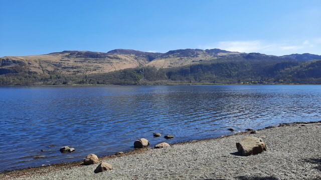
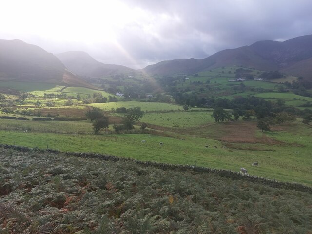
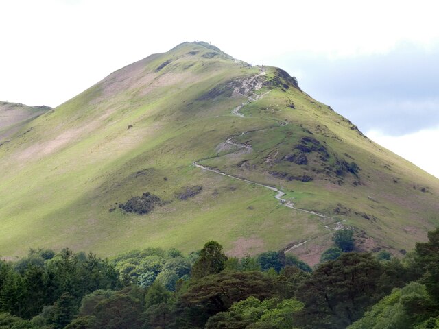
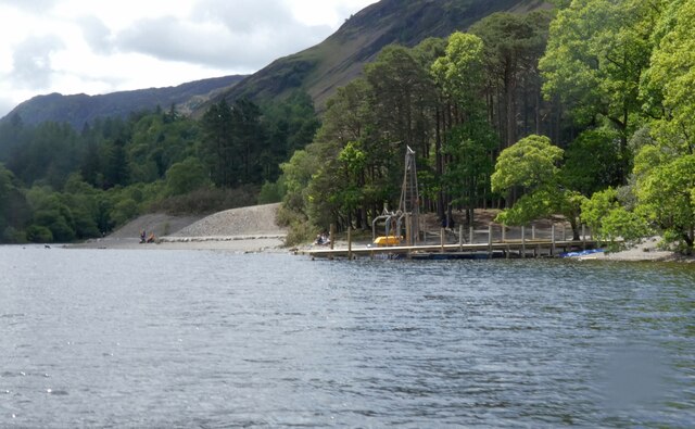
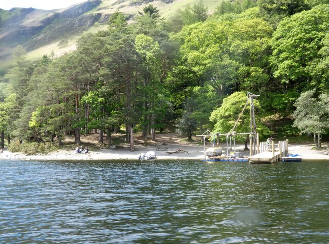
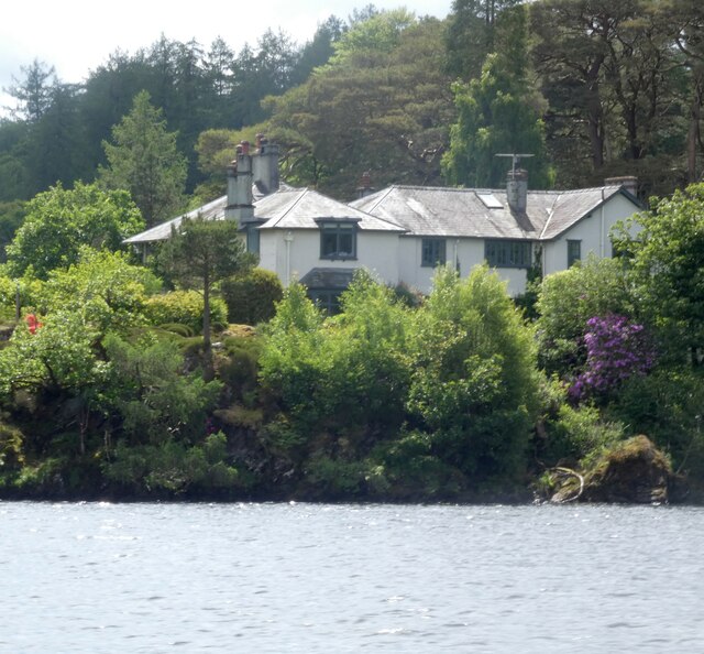
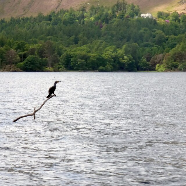
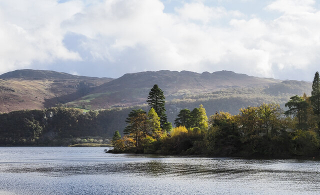
Otterbield Island Images
Images are sourced within 2km of 54.579572/-3.1564256 or Grid Reference NY2521. Thanks to Geograph Open Source API. All images are credited.


Otterbield Island is located at Grid Ref: NY2521 (Lat: 54.579572, Lng: -3.1564256)
Administrative County: Cumbria
District: Allerdale
Police Authority: Cumbria
What 3 Words
///piano.encounter.fortnight. Near Keswick, Cumbria
Nearby Locations
Related Wikis
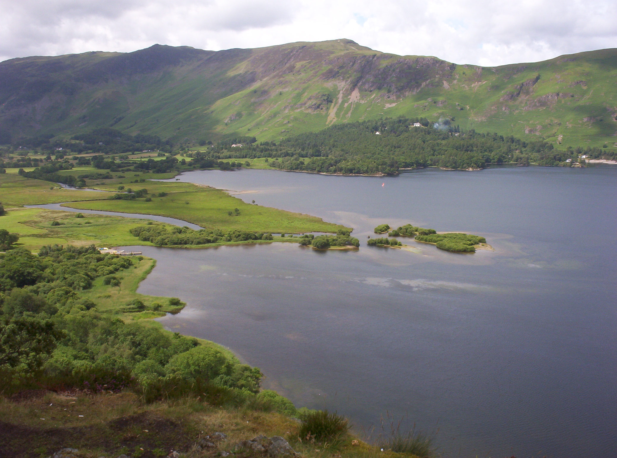
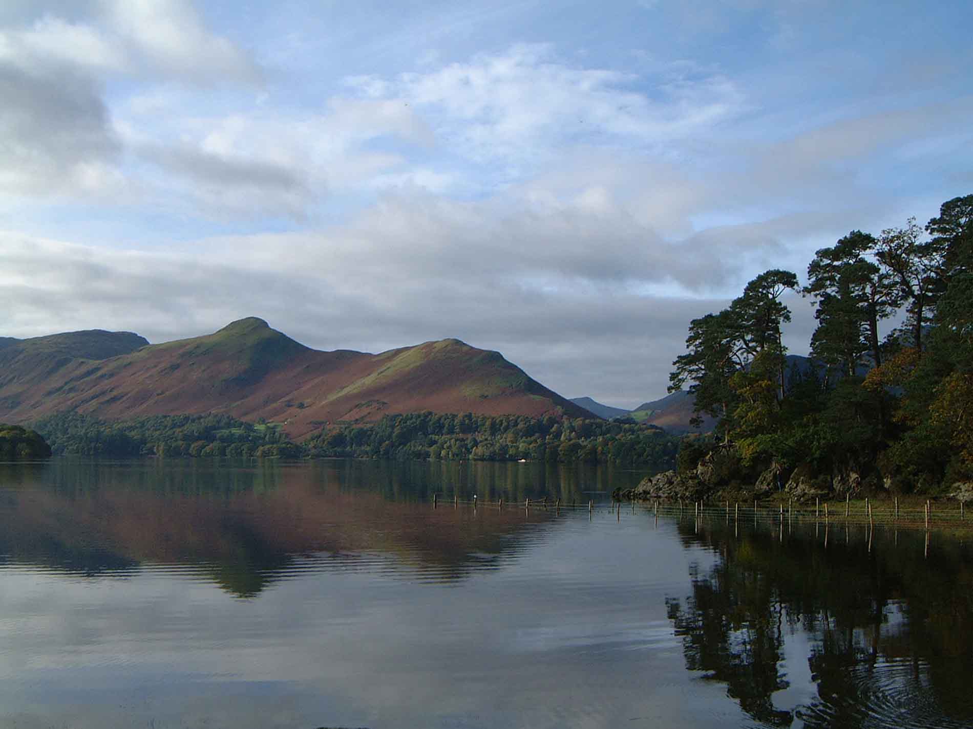
Derwentwater
Derwentwater, or Derwent Water, is a lake in the Lake District in North West England, immediately south of Keswick. It is in the unitary authority of Cumberland...

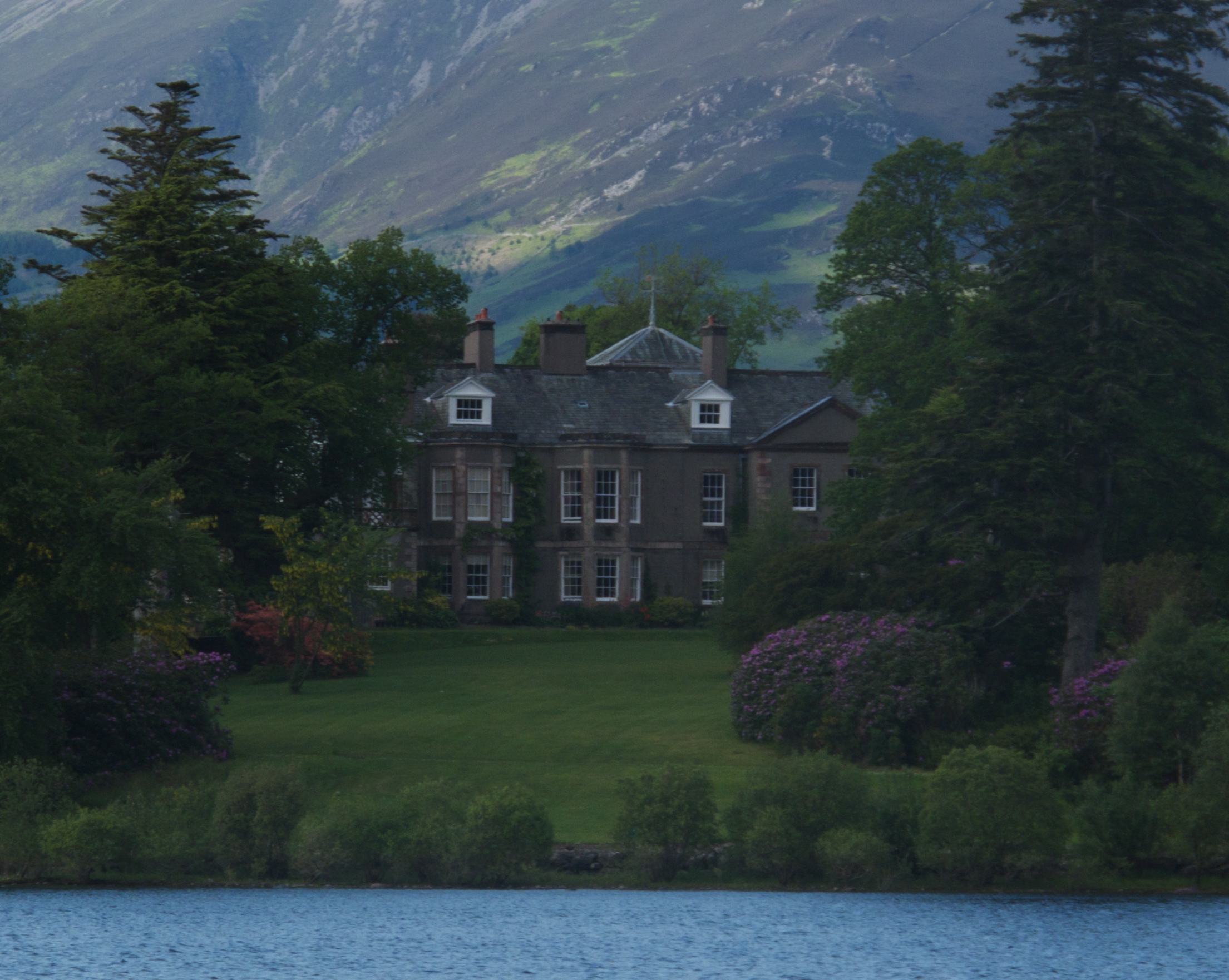
Lingholm
Lingholm is a country house just outside Portinscale in Cumbria, England. == History == The house was built in 1871–1875 for Lt-Col James Fenton Greenall...

Herbert of Derwentwater
Saint Herbert of Derwentwater (died 20 March 687) was an Anglo-Saxon priest and hermit who lived on the small St Herbert's Island in Derwentwater, Cumbria...
Derwent Island House
Derwent Island House (often called Derwent Isle House) is a Grade II listed 18th-century Italianate house situated on the seven-acre (three-hectare) Derwent...

Lord's Island
Lord's Island, which is one of the seven islands on Derwent Water in Keswick, Cumbria, England, got its name from the Earls of Derwentwater who used to...
Cat Bells
Cat Bells is a fell in the English Lake District in the county of Cumbria. It has a height of 451 metres (1,480 ft) and is one of the most popular fells...
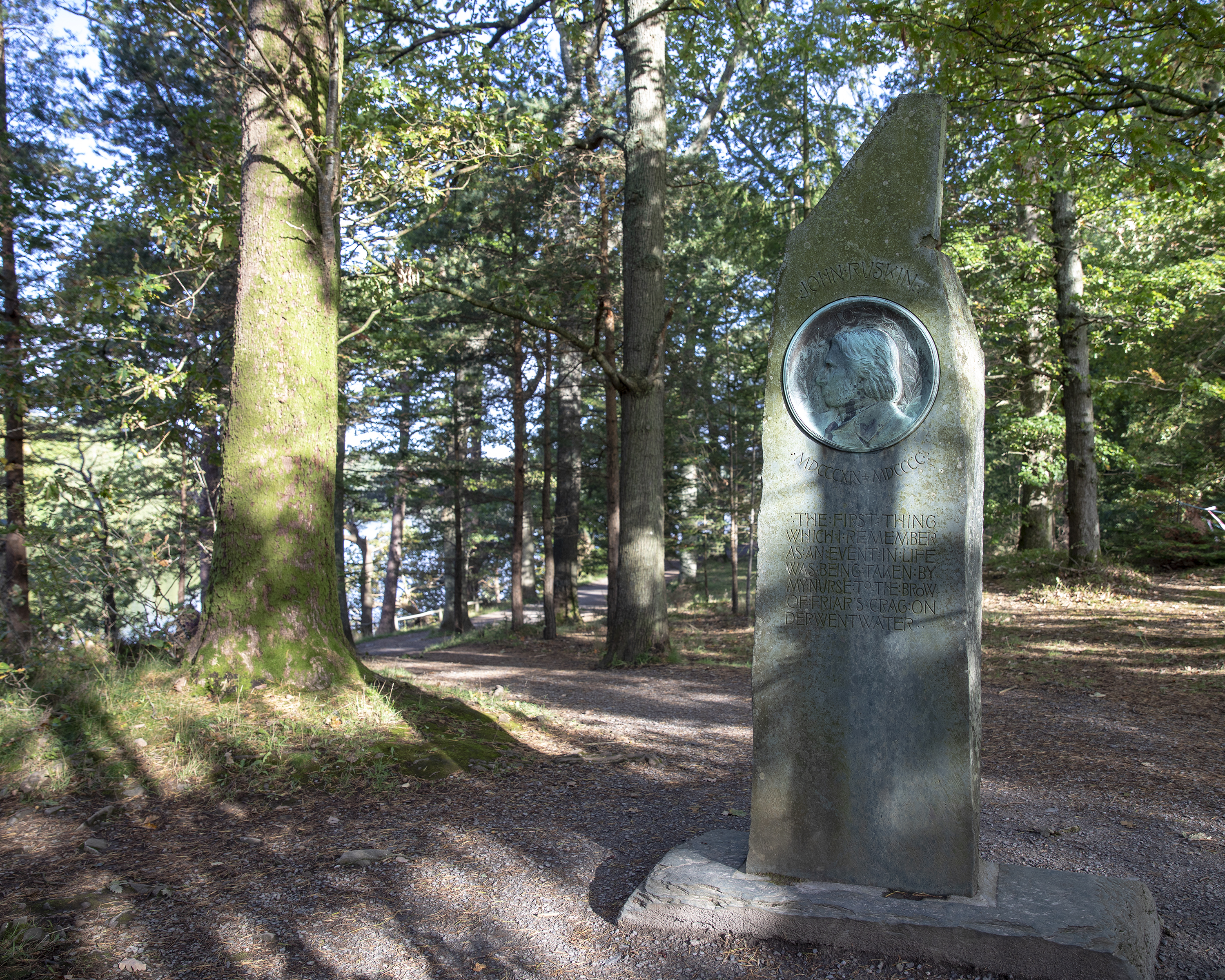
Ruskin Monument
The Ruskin Monument is a memorial to John Ruskin located on the edge of Derwentwater in the English Lakes at Friars' Crag, Keswick, Cumbria. It was erected...

Stair, Cumbria
Stair is a village in Cumbria, England. It is situated in the Newlands Valley, to the west of Derwent Water and within the Lake District National Park...
Nearby Amenities
Located within 500m of 54.579572,-3.1564256Have you been to Otterbield Island?
Leave your review of Otterbield Island below (or comments, questions and feedback).