Manesty Park

Downs, Moorland in Cumberland Allerdale

England

Manesty Park

Barrow Beck
Barrow Beck Credit: David Brown

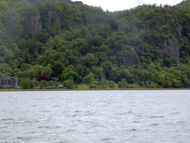
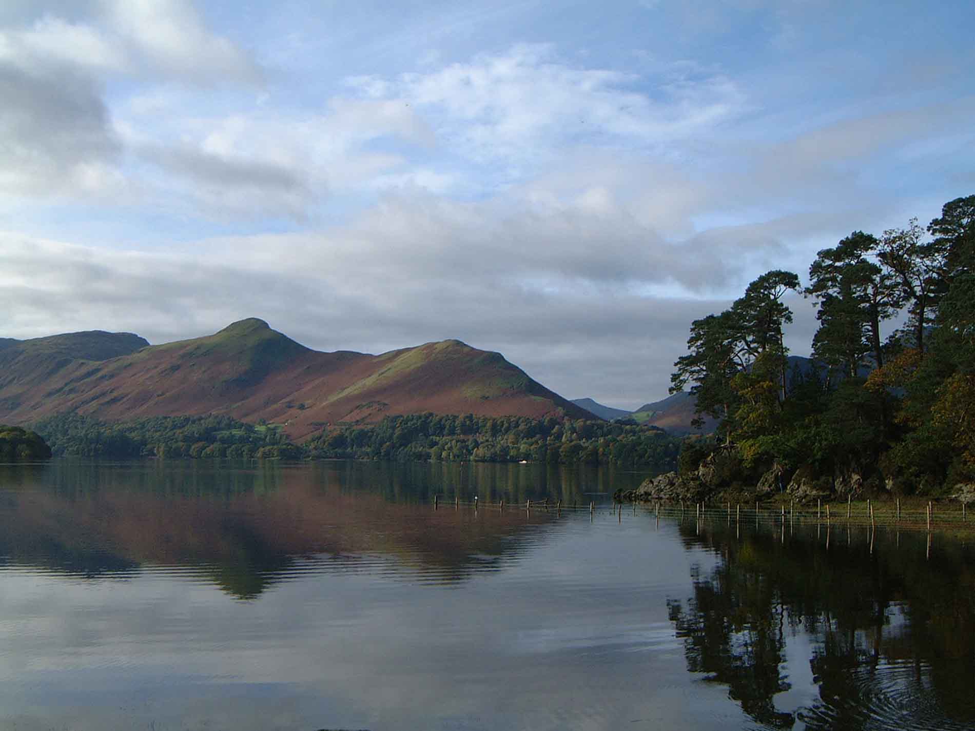
Manesty Park is a picturesque natural reserve located in Cumberland, Downs, Moorland. Spanning over a vast area of land, this park offers visitors a diverse range of landscapes and rich biodiversity to explore and enjoy.

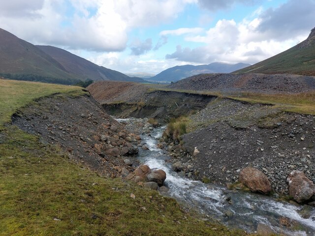
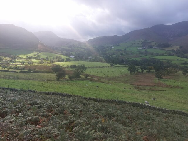
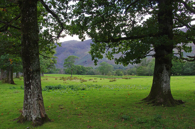
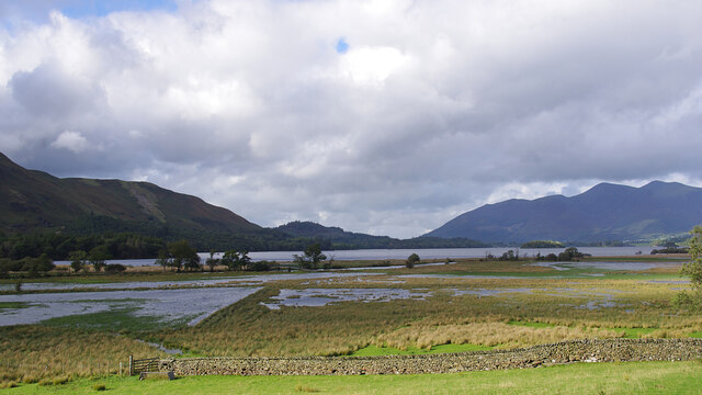
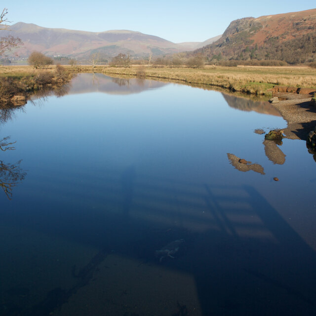
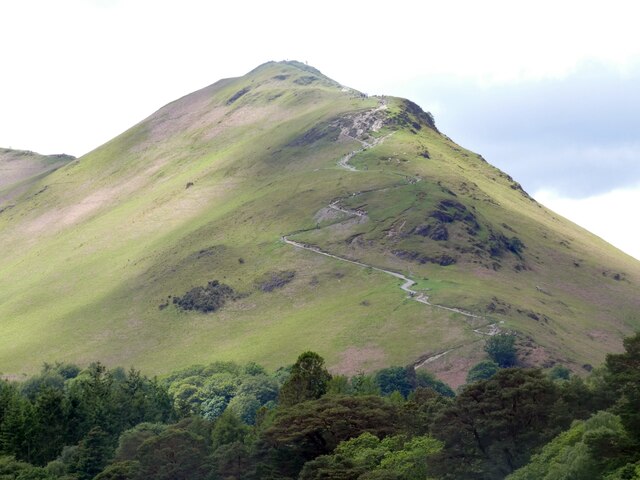
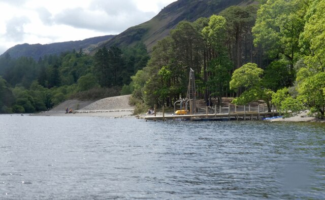
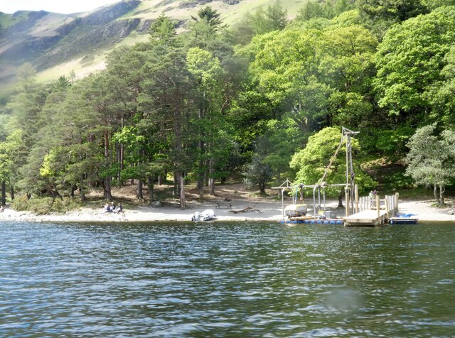
The park is characterized by its rolling hills, lush meadows, and dense woodlands, providing a perfect setting for nature enthusiasts and outdoor enthusiasts alike. The park's varied terrain offers numerous walking trails and hiking opportunities, allowing visitors to immerse themselves in the beauty of the surrounding nature.

Manesty Park is home to a wide array of flora and fauna, making it a haven for wildlife lovers. The woodlands are teeming with ancient oak and beech trees, while the meadows bloom with vibrant wildflowers during the spring and summer months. Visitors may be lucky enough to spot deer, foxes, rabbits, and various species of birds while exploring the park.

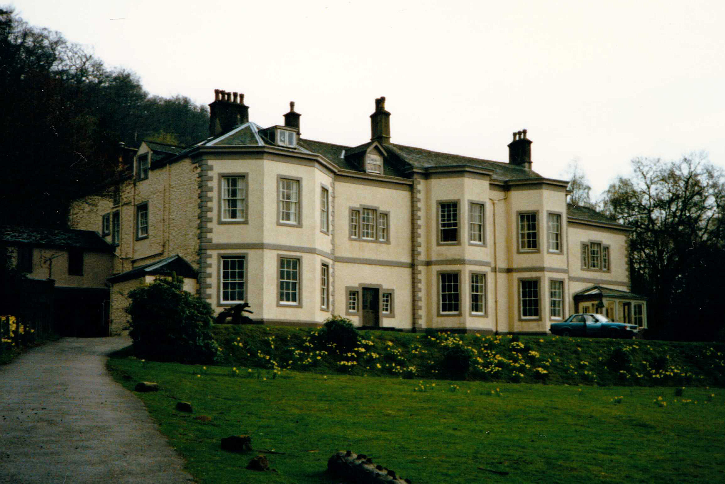
In addition to its natural beauty, Manesty Park also offers recreational facilities for visitors. There are designated picnic areas, perfect for enjoying a relaxing day out with family and friends. Furthermore, the park provides cycling trails for those who prefer exploring on two wheels.

The park is easily accessible, with ample parking facilities and well-maintained footpaths. It is open to the public throughout the year, and admission is free. Manesty Park truly offers a tranquil escape from the hustle and bustle of daily life, allowing visitors to connect with nature and unwind in a serene environment.

If you have any feedback on the listing, please let us know in the comments section below.
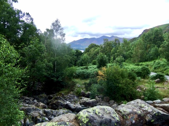
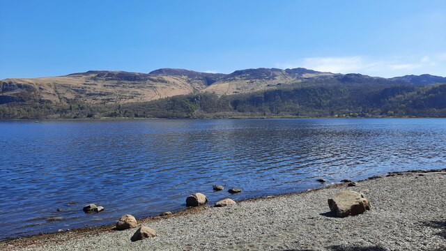
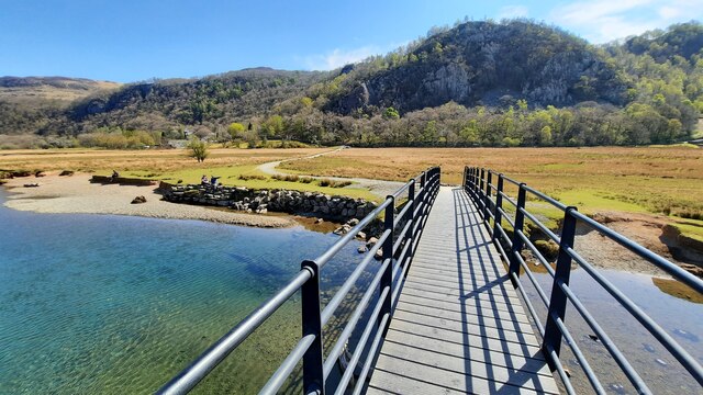
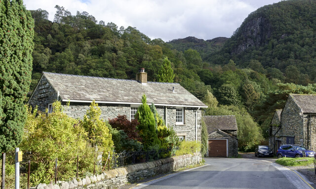
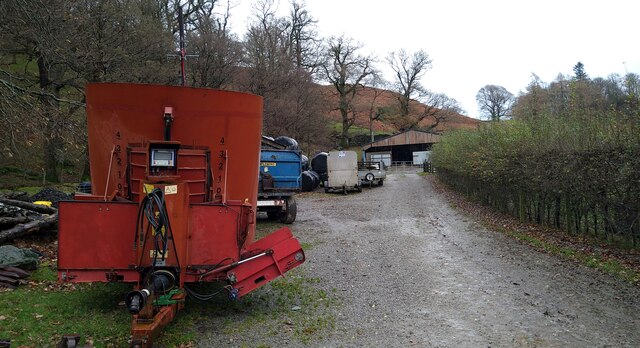
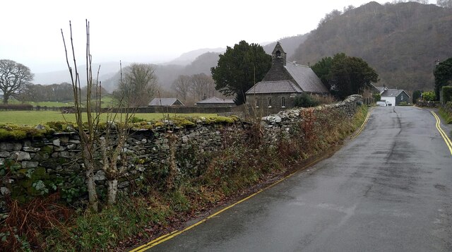
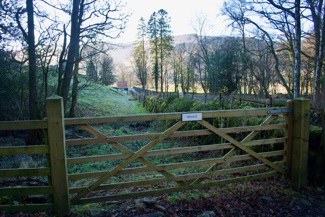
Manesty Park Images

Images are sourced within 2km of 54.561755/-3.1596637 or Grid Reference NY2519. Thanks to Geograph Open Source API. All images are credited.

Barrow Beck
Barrow Beck
Derwent Water seen from Brandlehow Landing Stage Bleaberry Fell and Castlerigg Fell can be seen on the other side of the lake.
Derwent Water seen from Brandlehow Landing Stage
Bleaberry Fell and Castlerigg Fell can be seen on the other side of the lake.
Footbridge over the River Derwent Across the flat river flood plain can be seen Shepherds Crag.
Footbridge over the River Derwent
Across the flat river flood plain can be seen Shepherds Crag.
Detached house in Grange The house is on the road heading out of Grange towards the bridge over the River Derwent.
The wooded slopes beyond rise to King's How, one of the tops of Grange Fell.
Detached house in Grange
The house is on the road heading out of Grange towards the bridge over the River Derwent. The wooded slopes beyond rise to King's How, one of the tops of Grange Fell.
Yewthwaite Gill The course of Yewthwaite Gill, the sides of the channel showing sides of extensive erosion.
Yewthwaite Gill
The course of Yewthwaite Gill, the sides of the channel showing sides of extensive erosion.
The pastures of Yewthwaite Looking across the grassy pastures of Yewthwaite. After a day of heavy rain the sun is beginning to break through the clouds above the valley.
The pastures of Yewthwaite
Looking across the grassy pastures of Yewthwaite. After a day of heavy rain the sun is beginning to break through the clouds above the valley.
Roadside trees, Borrowdale The number of trees increases as you move away from the head of Derwent Water or the River Derwent.
Roadside trees, Borrowdale
The number of trees increases as you move away from the head of Derwent Water or the River Derwent.
River Derwent flood plain The flat ground at the head of Derwent Water frequently floods. Skiddaw is in the far distance.
River Derwent flood plain
The flat ground at the head of Derwent Water frequently floods. Skiddaw is in the far distance.
Machinery at Hollows Farm
The road through Grange
River Derwent From the Chinese Bridge — looks nice enough to swim in, but take a closer look into the water in the shadow of the bridge: a dead sheep.
River Derwent
From the Chinese Bridge — looks nice enough to swim in, but take a closer look into the water in the shadow of the bridge: a dead sheep.
Footpath through Lodore Hotel On my map this is supposed to be a Permissive path to avoid using the road. On the latest O.S. mapping it's classed as a Public Footpath.

Either way its use is not welcoming and the 'bridge' over the beck just beyond the gate is very precarious.
Footpath through Lodore Hotel
On my map this is supposed to be a Permissive path to avoid using the road. On the latest O.S. mapping it's classed as a Public Footpath. Either way its use is not welcoming and the 'bridge' over the beck just beyond the gate is very precarious.
Path to Catbells The zig-zag path up to Catbells as viewed from Derwentwater.
Path to Catbells
The zig-zag path up to Catbells as viewed from Derwentwater.
High Brandelhow The jetty here is currently undergoing repair.
High Brandelhow
The jetty here is currently undergoing repair.
High Brandelhow The landing stage is presently undergoing repair.
High Brandelhow
The landing stage is presently undergoing repair.
Brandelhow Point Housing at Brandelhow Point.
Brandelhow Point
Housing at Brandelhow Point.
Housing at Brandelhow Point
Southern end of Derwentwater On the left is the Lodore Falls Hotel.  The B5289 to Borrowdale hugs the ground beneath Shepherds Crag <a href="https://www.geograph.org.uk/photo/1513276">NY2618 : Shepherds Crag</a>.
Southern end of Derwentwater
On the left is the Lodore Falls Hotel. The B5289 to Borrowdale hugs the ground beneath Shepherds Crag NY2618 : Shepherds Crag.
Show me another place!

Manesty Park is located at Grid Ref: NY2519 (Lat: 54.561755, Lng: -3.1596637)

Administrative County: Cumbria

District: Allerdale

Police Authority: Cumbria

What 3 Words

///sprayed.professes.freedom. Near Keswick, Cumbria

Related Wikis

Nearby Amenities

Located within 500m of 54.561755,-3.1596637
Barrier: cattle_grid
Lat/Long: 54.5596469/-3.1596601
Low Manesty Caravan Park
Addr City: Manesty
Addr Housename: Low Manesty Caravan Park
Addr Postcode: CA12 5UG
Fhrs Id: 267351
Tourism: caravan_site
Lat/Long: 54.557537/-3.1575894
Sir Hugh Walpole OBE
Historic: memorial
Memorial: plaque
Lat/Long: 54.5616574/-3.1643649
Bench
Backrest: no
Material: stone
Lat/Long: 54.5617377/-3.1641763
Abbot's Bay
Natural: bay
Lat/Long: 54.5645159/-3.1554912
Myrtle Bay
Natural: bay
Lat/Long: 54.5628451/-3.1532239
Barrier: kissing_gate
Lat/Long: 54.5651699/-3.1600991
Post Box
Ref: CA12 259
Lat/Long: 54.5595632/-3.1596307
Hiking: yes
Information: guidepost
Source: GPS Survey
Tourism: information
Lat/Long: 54.5638139/-3.1590609
Bench
Backrest: no
Check Date: 2023-06-07
Material: stone
Source: GPS Survey
Lat/Long: 54.5648076/-3.159549
Brandlehow Point
Place: locality
Lat/Long: 54.5654935/-3.1566031
Saltwell Lead Mine
Disused: yes
Man Made: mine
Mineral: lead
Lat/Long: 54.5598322/-3.1538248
Bench
Lat/Long: 54.5648491/-3.1623522
Tourism: viewpoint
Lat/Long: 54.5648661/-3.1622829
Brackenburn
Place: locality
Lat/Long: 54.5624165/-3.1625163
Bench
Backrest: no
Lat/Long: 54.5650022/-3.1635568
The data included in this document is from www.openstreetmap.org. The data is made available under ODbL.

Have you been to Manesty Park?

Leave your review of Manesty Park below (or comments, questions and feedback).