Bachnagairn Forest

Downs, Moorland in Angus

Scotland

Bachnagairn Forest

Waterfall at Bachnagairn Looking upstream to the waterfall from the Roy Tait Memorial Bridge.
Waterfall at Bachnagairn Credit: Scott Cormie

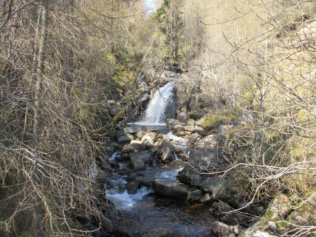
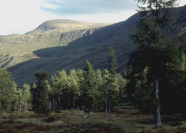
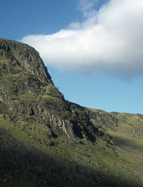
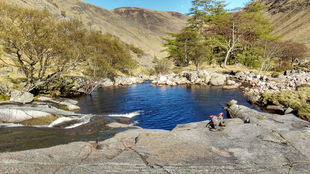
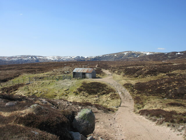
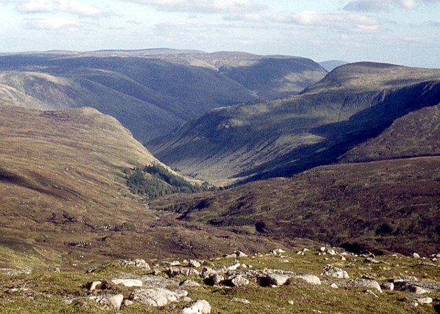
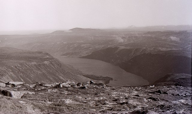
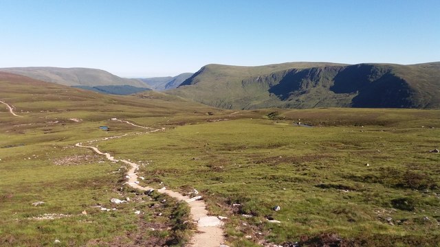
Bachnagairn Forest is a picturesque natural area located in Angus, Scotland. Covering a vast expanse of land, the forest is known for its diverse ecosystem and stunning landscapes, encompassing downs, moorland, and other natural features.

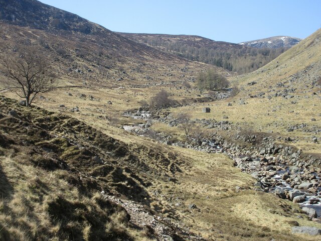
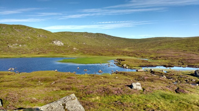
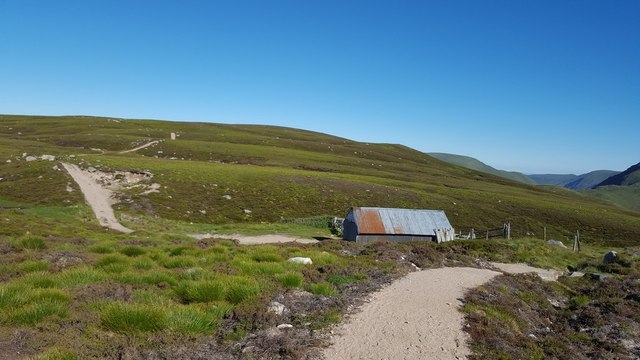
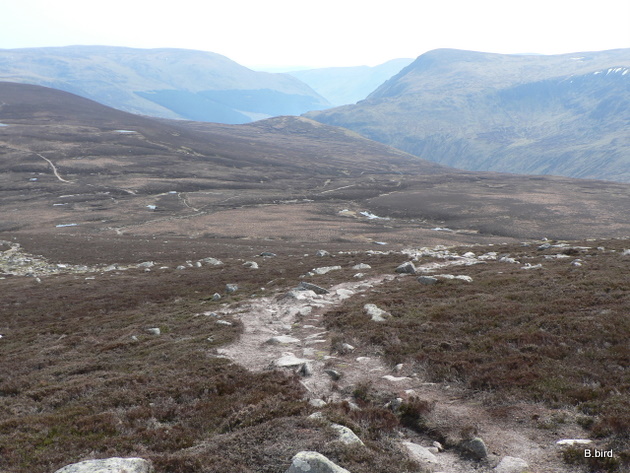
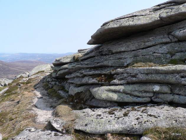
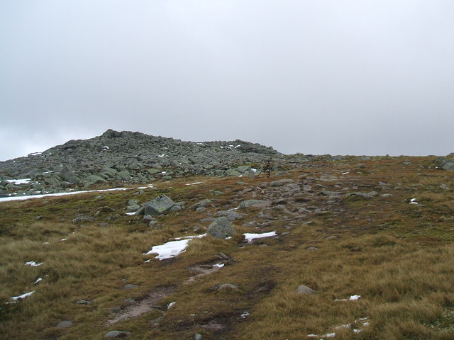
The downs in Bachnagairn Forest are characterized by their gently rolling hills and open grasslands. These areas provide ample grazing opportunities for various wildlife species, including deer, hares, and numerous bird species. The downs also offer breathtaking panoramic views of the surrounding countryside, making them a popular spot for hikers and nature enthusiasts.

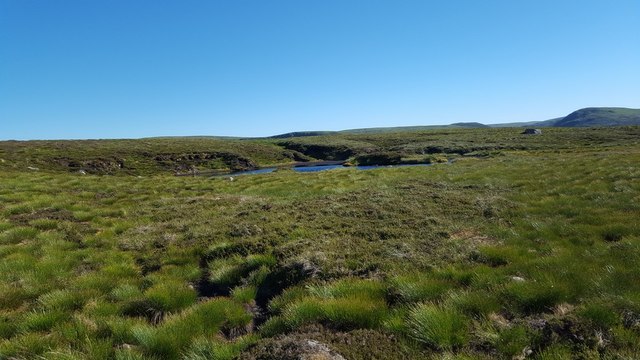
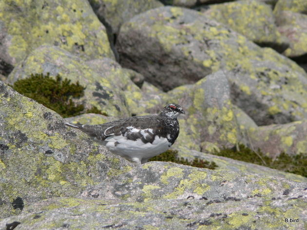
The moorland in Bachnagairn Forest is a unique habitat that is home to a variety of plant and animal species. The moors are characterized by their open, treeless landscapes covered in heather and other low-lying vegetation. This environment provides a sanctuary for many bird species, such as red grouse and curlews, which thrive in this type of habitat. Additionally, the moorland is known for its resident population of Scottish wildcats, a rare and endangered species in the region.

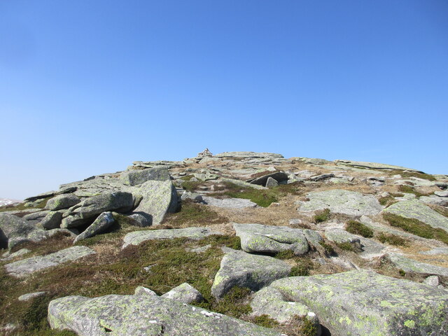
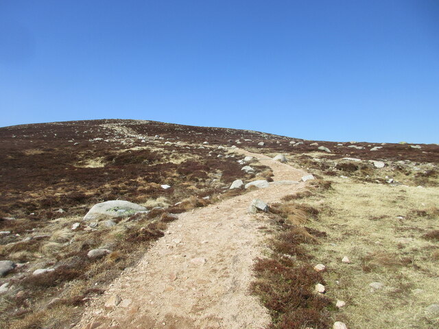
Visitors to Bachnagairn Forest can explore the area through a network of well-maintained trails and paths, allowing them to immerse themselves in the natural beauty of the surroundings. The forest's unique blend of downs, moorland, and other natural features make it a must-visit destination for those seeking to experience the diverse landscapes and wildlife of Angus, Scotland.

If you have any feedback on the listing, please let us know in the comments section below.

Bachnagairn Forest Images

Images are sourced within 2km of 56.904253/-3.2315646 or Grid Reference NO2579. Thanks to Geograph Open Source API. All images are credited.

Waterfall at Bachnagairn Looking upstream to the waterfall from the Roy Tait Memorial Bridge.
Waterfall at Bachnagairn
Looking upstream to the waterfall from the Roy Tait Memorial Bridge.
Upper reach of the South Esk Looking up the River South Esk towards Bachnagairn.
Upper reach of the South Esk
Looking up the River South Esk towards Bachnagairn.
Larch woods at Bachnagairn
Juanjorge
Juanjorge
Loch Esk Loch Esk seen from its eastern shore. In the very dry, warm summer of 2018, the water level has fallen significantly, exposing some of the greens on the loch floor.
Loch Esk
Loch Esk seen from its eastern shore. In the very dry, warm summer of 2018, the water level has fallen significantly, exposing some of the greens on the loch floor.
Bathing pool in the young River Esk As the River Esk emerges from the forest of Bachnagarn, it forms this beautiful swimming pool next to flat rocks for sunbathing. It is a natural spa paradise, with admittedly rather cold water. Easy access from Glen Doll. Spectacular scenery.
Bathing pool in the young River Esk
As the River Esk emerges from the forest of Bachnagarn, it forms this beautiful swimming pool next to flat rocks for sunbathing. It is a natural spa paradise, with admittedly rather cold water. Easy access from Glen Doll. Spectacular scenery.
Summit of Broad Cairn Looking up to the summit of Broad Cairn from the north-east.
Summit of Broad Cairn
Looking up to the summit of Broad Cairn from the north-east.
Path heading up Broad Cairn Well constructed path heading up the east side of Broad Cairn.
Path heading up Broad Cairn
Well constructed path heading up the east side of Broad Cairn.
Looking west to the stables Stables on the watershed between Bachnagairn and Loch Muick.
Looking west to the stables
Stables on the watershed between Bachnagairn and Loch Muick.
Head waters of River South Esk
View over Loch Muick Seen from beside the path from Broad Cairn. Location is approximate.
View over Loch Muick
Seen from beside the path from Broad Cairn. Location is approximate.
Broad Cairn Stunning viewpoint, looking NE towards Loch Muick.
Broad Cairn
Stunning viewpoint, looking NE towards Loch Muick.
Path east from Broad Cairn Winding towards Sandy's Seat, which can be seen in the near distance to the right.
Path east from Broad Cairn
Winding towards Sandy's Seat, which can be seen in the near distance to the right.
Sandy's Seat Small shelter with a seat which makes a good rest stop in the hills beside Loch Muick.
Sandy's Seat
Small shelter with a seat which makes a good rest stop in the hills beside Loch Muick.
Small lochan west of Sandy Hillock
Broad Cairn mountain tracks Mountain tracks/paths on the approach to Broad Cairn summit from both Loch Muick & Bachnagairn
Broad Cairn mountain tracks
Mountain tracks/paths on the approach to Broad Cairn summit from both Loch Muick & Bachnagairn
Rock layers Broad Cairn summit layers that form the base for the summit cairn
Rock layers
Broad Cairn summit layers that form the base for the summit cairn
Camouflaged Ptarmigan A nice quiet mountainside and all you hear is the distinctive rasp & croak of the Ptarmigan
Camouflaged Ptarmigan
A nice quiet mountainside and all you hear is the distinctive rasp & croak of the Ptarmigan
Show me another place!

Bachnagairn Forest is located at Grid Ref: NO2579 (Lat: 56.904253, Lng: -3.2315646)

Unitary Authority: Angus

Police Authority: Tayside

What 3 Words

///flamenco.former.kitchen. Near Inverey, Aberdeenshire

Nearby Locations

Bachnagairn Forest

Related Wikis

Have you been to Bachnagairn Forest?

Leave your review of Bachnagairn Forest below (or comments, questions and feedback).