Brinkies Brae

Downs, Moorland in Orkney

Scotland

Brinkies Brae

Pier Arts Centre, Stromness
Pier Arts Centre, Stromness Credit: Graeme Yuill

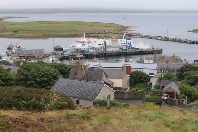
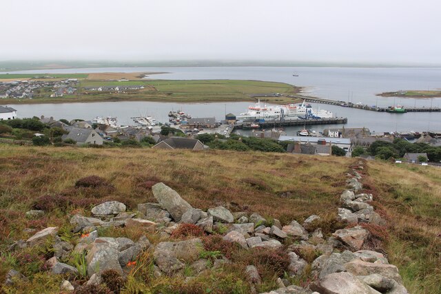
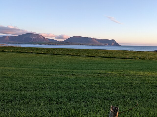
Brinkies Brae is a prominent landscape feature located in Orkney, an archipelago in northern Scotland. It is situated on the island of Hoy, which is known for its rugged and diverse terrain. Brinkies Brae specifically lies on the downs and moorland of the island.

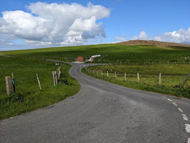
With its dramatic cliffs and steep slopes, Brinkies Brae offers breathtaking views of the surrounding landscape. The area is characterized by a mix of heathland, grassy slopes, and scattered rocks. The downs are covered in a patchwork of vibrant colors, with purple heather and yellow gorse adding to the visual appeal.

This natural formation is also home to a variety of wildlife. Visitors to Brinkies Brae may spot birds such as the Eurasian curlew, meadow pipit, and puffin, which nest in the cliffs. The moorland provides habitats for small mammals like rabbits and voles, as well as reptiles like adders and common lizards.

The remoteness and tranquility of Brinkies Brae make it an ideal destination for hikers and nature enthusiasts. There are several walking trails that lead to the top of the brae, allowing visitors to fully immerse themselves in the stunning surroundings. The area is also rich in archaeological sites, with ancient burial mounds and stone circles dotting the landscape.

Overall, Brinkies Brae in Orkney is a captivating natural feature that combines rugged cliffs, rolling downs, and moorland. Its scenic beauty and abundant wildlife make it a must-visit destination for those seeking an authentic and unspoiled Scottish experience.

If you have any feedback on the listing, please let us know in the comments section below.

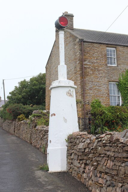
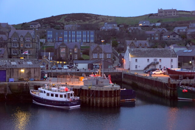
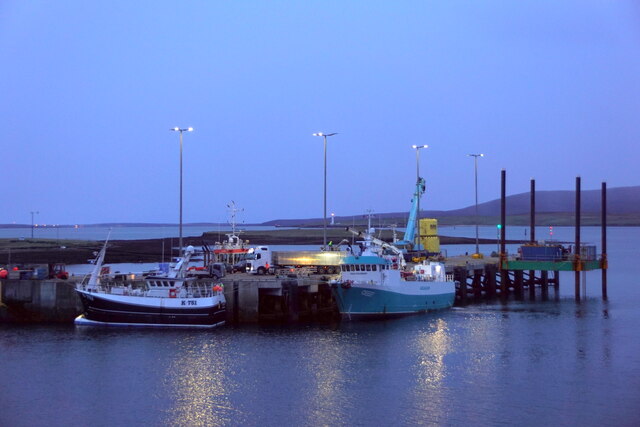
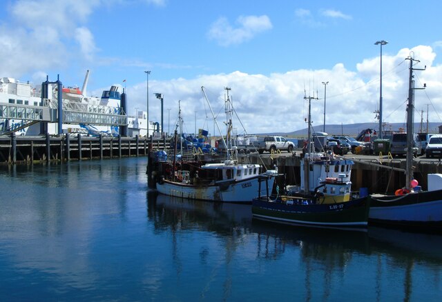
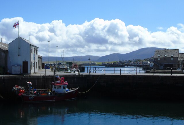
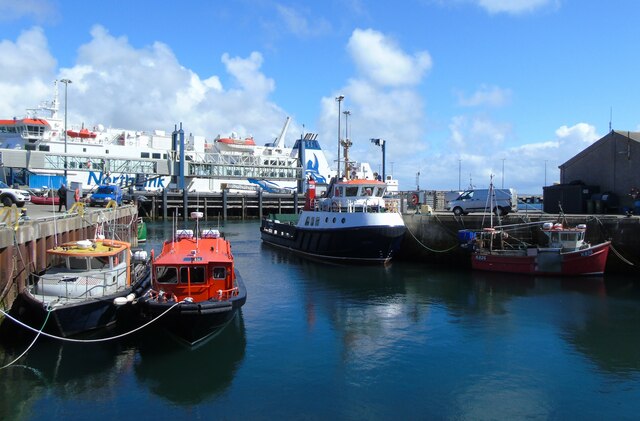
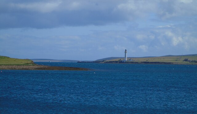
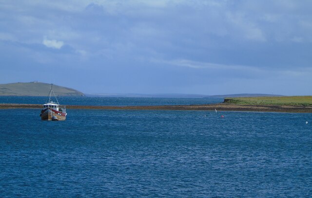
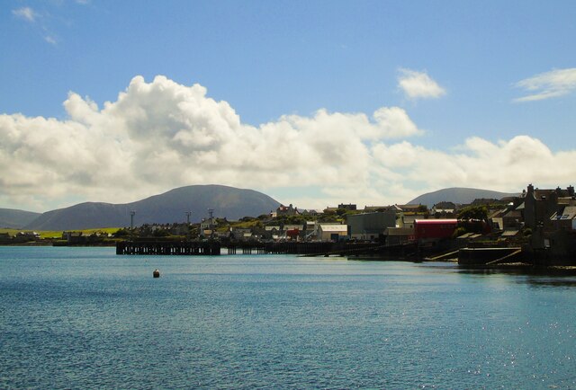
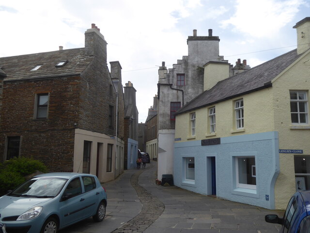
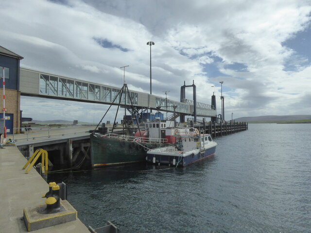
Brinkies Brae Images

Images are sourced within 2km of 58.96717/-3.3047206 or Grid Reference HY2509. Thanks to Geograph Open Source API. All images are credited.

Pier Arts Centre, Stromness
MV Hamnavoe, Stromness Harbour
Stromness Harbour From Brinkies Brae
Stromness Harbour
From Brinkies Brae
Pier Arts Centre Extension, Stromness Designed by Reiach and Hall Architects
Pier Arts Centre Extension, Stromness
Designed by Reiach and Hall Architects
Navigation Light, Hellihole Road, Stromness
Stromness harbour
Stromness harbour
Copland's Dock, Stromness
Stromness Harbour (1) Stromness harbour and ferry terminal, Orkney. The ferry is the MV Hamnavoe which plies the Stromness-Scrabster route. The fishing boat to the left in the foreground is bringing in its catch of mussels.
Stromness Harbour (1)
Stromness harbour and ferry terminal, Orkney. The ferry is the MV Hamnavoe which plies the Stromness-Scrabster route. The fishing boat to the left in the foreground is bringing in its catch of mussels.
Stromness Harbour (2) Stromness Harbour and the Stromness RNLI station, Orkney. The Ness can be seen beyond and Graemsay with Hoy rising above it on the horizon.
Stromness Harbour (2)
Stromness Harbour and the Stromness RNLI station, Orkney. The Ness can be seen beyond and Graemsay with Hoy rising above it on the horizon.
Stromness Harbour (3) Stromness Harbour, Orkney. The NorthLink MV Hamnavoe is docked on the North Pier ahead and the Graemsay ferry is docked on the South Pier to my right.
Stromness Harbour (3)
Stromness Harbour, Orkney. The NorthLink MV Hamnavoe is docked on the North Pier ahead and the Graemsay ferry is docked on the South Pier to my right.
Hoy Sound (High) Lighthouse Hoy Sound (High) Lighthouse, Graemsay, as seen (in zoom) from the end of the South Pier, Stromness Harbour, Orkney. Part of the small, low island  of Outer Holm can be seen on the left and Hoy is on the horizon.
Hoy Sound (High) Lighthouse
Hoy Sound (High) Lighthouse, Graemsay, as seen (in zoom) from the end of the South Pier, Stromness Harbour, Orkney. Part of the small, low island of Outer Holm can be seen on the left and Hoy is on the horizon.
The Holms, Stromness Harbour The Holms as seen (in zoom) from the end of the South Pier, Stromness Harbour, Orkney. Clestrain Sound leads out to Houton Head to the left of shot.
The Holms, Stromness Harbour
The Holms as seen (in zoom) from the end of the South Pier, Stromness Harbour, Orkney. Clestrain Sound leads out to Houton Head to the left of shot.
Stromness (south) I am looking from the end of the South Pier, Stromness Harbour, Orkney, to the southern end of the town and the Ness beyond. The distinctive outlines of the hills of Hoy rise up in the distance.
Stromness (south)
I am looking from the end of the South Pier, Stromness Harbour, Orkney, to the southern end of the town and the Ness beyond. The distinctive outlines of the hills of Hoy rise up in the distance.
Graham Place, Stromness, Orkney
Boats in Stromness Harbour, Orkney
Road junctions above Stromness The hill in the background is Brinkies Brae.
Road junctions above Stromness
The hill in the background is Brinkies Brae.
Fields above Stromness Looking towards Hoy.
Fields above Stromness
Looking towards Hoy.
Buildings at Ness Battery
Show me another place!

Brinkies Brae is located at Grid Ref: HY2509 (Lat: 58.96717, Lng: -3.3047206)

Unitary Authority: Orkney Islands

Police Authority: Highlands and Islands

What 3 Words

///happening.suppers.reframe. Near Stromness, Orkney Islands

Related Wikis

Nearby Amenities

Located within 500m of 58.96717,-3.3047206
Crossing: informal
Lat/Long: 58.9641088/-3.2993369
Brinkies Brae
Place: locality
Lat/Long: 58.967379/-3.3029996
European Marine Energy Centre
Addr City: Stromness
Addr Housename: The Charles Clouston Building ORIC
Addr Postcode: KW16 3AW
Addr Street: Back Road
Alt Name: EMEC
Office: research
Phone: +44 1856 852060
Research: energy;wave_power;tidal_power
Website: https://www.emec.org.uk/
Wikidata: Q5412797
Wikipedia: en:European Marine Energy Centre
Lat/Long: 58.9636708/-3.3011687
Post Box
Collection Times: Mo-Fr 14:15; Sa 13:15
Operator: Royal Mail
Operator Wikidata: Q638098
Post Box Type: pillar
Ref: KW16 3
Royal Cypher: scottish_crown
Lat/Long: 58.9636422/-3.301633
Power: pole
Lat/Long: 58.9652919/-3.3111012
Power: pole
Lat/Long: 58.9655782/-3.3098003
Generator Method: photovoltaic
Generator Output Electricity: yes
Generator Source: solar
Generator Type: solar_photovoltaic_panel
Location: roof
Power: generator
Lat/Long: 58.9654426/-3.2991117
Generator Method: photovoltaic
Generator Output Electricity: yes
Generator Source: solar
Generator Type: solar_photovoltaic_panel
Location: roof
Power: generator
Lat/Long: 58.9654496/-3.2989106
Parking
Lat/Long: 58.9630311/-3.305169
Aquatera Ltd
Addr City: Stromness
Addr Postcode: KW16 3AW
Addr Street: Orkney Innovation Research and Innovation Centre
Office: research
Lat/Long: 58.9633748/-3.3016518
Addr Housename: M S Wicks Building Contractor
Office: yes
Lat/Long: 58.966322/-3.2986975
Crossing
Lat/Long: 58.9629522/-3.3026148
The data included in this document is from www.openstreetmap.org. The data is made available under ODbL.

Have you been to Brinkies Brae?

Leave your review of Brinkies Brae below (or comments, questions and feedback).