Whitehouse Rocks
Coastal Feature, Headland, Point in Orkney
Scotland
Whitehouse Rocks
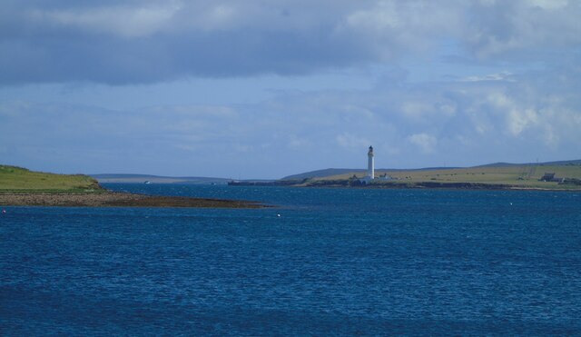
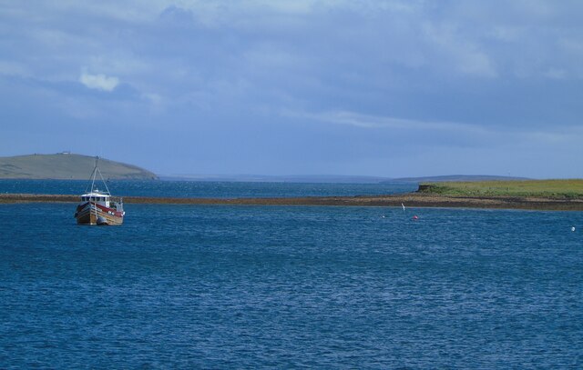
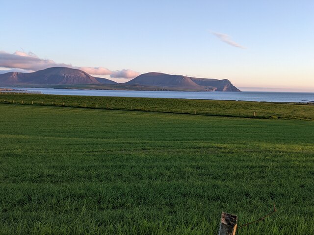
Whitehouse Rocks is a prominent coastal feature located on the island of Orkney, situated off the northeastern coast of Scotland. It is a stunning headland that juts out into the North Sea, forming a distinctive point that offers breathtaking views of the surrounding landscape.
Rising to an elevation of approximately 30 meters, Whitehouse Rocks is composed of rugged cliffs and rocky outcrops. The headland is primarily made up of sandstone, which has been shaped over centuries by the relentless crashing waves and the force of the wind. Its exposed location means that it is often subject to harsh weather conditions, including strong winds and heavy rain.
The unique geological formations of Whitehouse Rocks make it an ideal location for birdwatchers and nature enthusiasts. The cliffs provide nesting sites for a variety of seabirds, including fulmars, kittiwakes, and guillemots. Visitors can observe these magnificent creatures in their natural habitat, as they soar above the sea or dive into the water to catch fish.
In addition to its natural beauty, Whitehouse Rocks also has historical significance. There are remnants of ancient settlements in the surrounding area, indicating that it has been inhabited for thousands of years. Archaeological excavations have uncovered artifacts dating back to the Neolithic period, providing valuable insights into the island's past.
Overall, Whitehouse Rocks is a captivating coastal feature that showcases the raw power of nature and offers a glimpse into Orkney's rich history. Its dramatic cliffs, diverse wildlife, and archaeological importance make it a must-visit destination for those exploring the region.
If you have any feedback on the listing, please let us know in the comments section below.
Whitehouse Rocks Images
Images are sourced within 2km of 58.962535/-3.2921997 or Grid Reference HY2509. Thanks to Geograph Open Source API. All images are credited.

Whitehouse Rocks is located at Grid Ref: HY2509 (Lat: 58.962535, Lng: -3.2921997)
Unitary Authority: Orkney Islands
Police Authority: Highlands and Islands
What 3 Words
///recorders.confronts.described. Near Stromness, Orkney Islands
Nearby Locations
Related Wikis

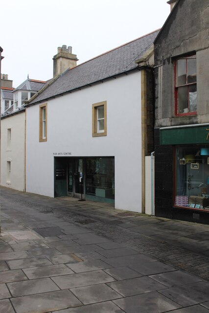
Pier Arts Centre
The Pier Arts Centre is an art gallery and museum in Stromness, Orkney, Scotland. It was established in 1979 to provide a home for an important collection...

Inner Holm
Inner Holm is a small inhabited island in Stromness harbour and one of the Orkney islands of Scotland. It is about 350 metres (1,150 ft) east of the harbour...

European Marine Energy Centre
The European Marine Energy Centre (EMEC) Ltd is a UKAS accredited test and research center focused on wave and tidal power development, based in the Orkney...

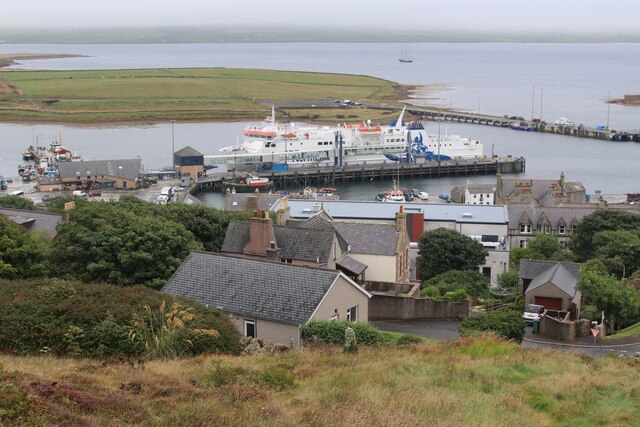
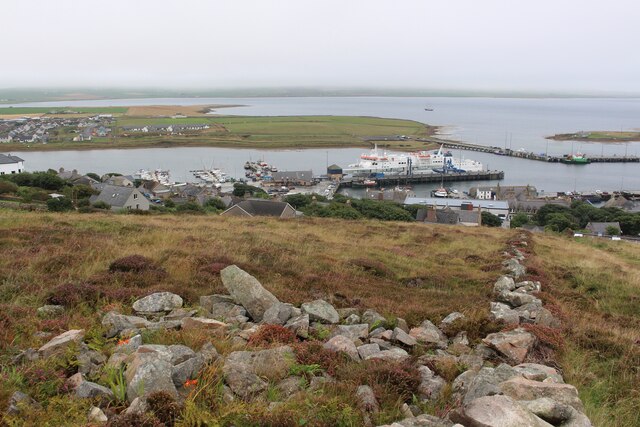
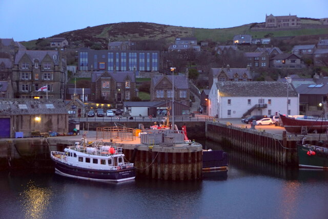
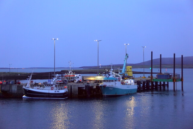
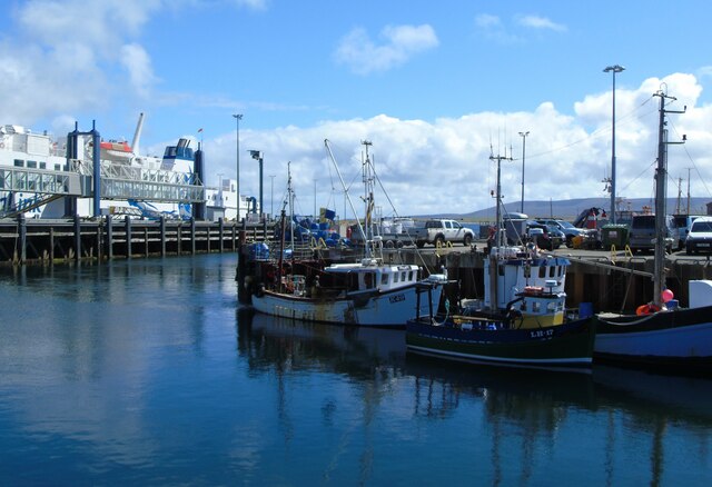
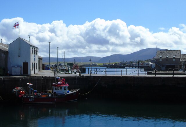
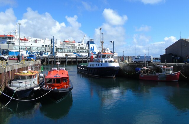
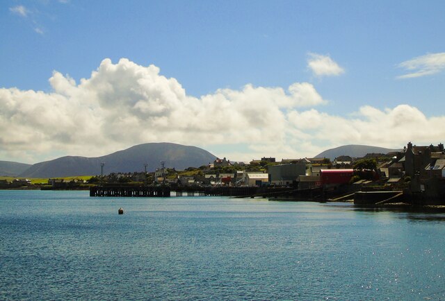
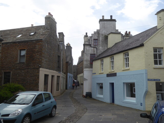
Stromness
Stromness (locally , Old Norse: Straumnes; Norn: Stromnes) is the second-most populous town in Orkney, Scotland. It is in the southwestern part of Mainland...
Related Videos

Farewell to Stromness
Sir Peter Maxwell Davies composed his haunting "Farewell to Stromness" to protest uranium mining in Orkney's West Mainland, ...

Stromness ~ Orkney ~ Walk
Please watch: "Malta ~ Ħaġar Qim ~ Menhir Vlog VIII" https://www.youtube.com/watch?v=krPyACZmsLk --~-- Hello everyone!

MV Hamnavoe - DJI MINI3 Pro
Northlink Ferries MV Hamnavoe, entering Scap Flow via Hoy Sound, prior to docking at Stromness See the full 4K Video here ...
Nearby Amenities
Located within 500m of 58.962535,-3.2921997Have you been to Whitehouse Rocks?
Leave your review of Whitehouse Rocks below (or comments, questions and feedback).