Drubba
Coastal Feature, Headland, Point in Orkney
Scotland
Drubba
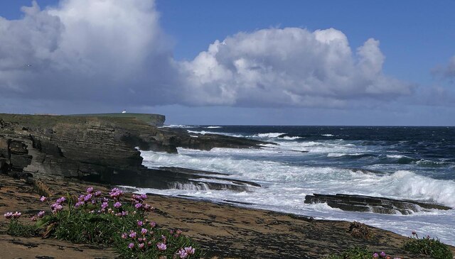
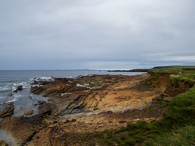
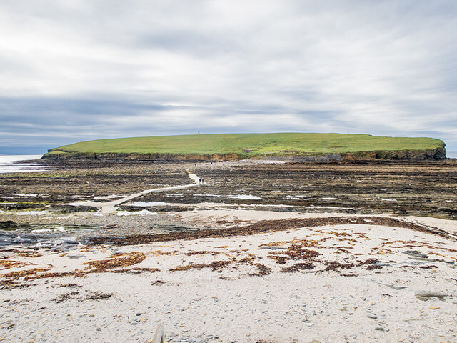
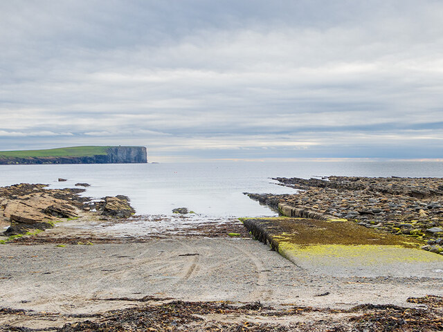
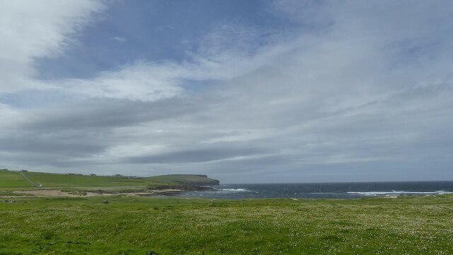
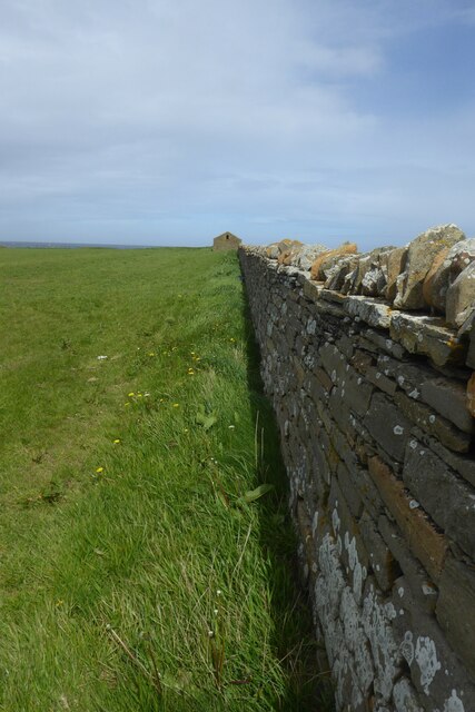
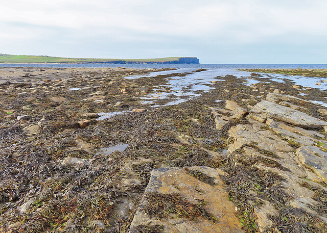
Drubba is a prominent headland located on the northern coast of the Orkney Islands, an archipelago in the Northern Isles of Scotland. Situated near the village of Birsay, it juts out into the tumultuous waters of the Atlantic Ocean. This coastal feature is characterized by sheer cliffs that tower above the surrounding landscape, offering breathtaking panoramic views of the surrounding sea and nearby islands.
Drubba is known for its rugged and dramatic beauty, as well as its rich natural heritage. The headland is a popular destination for nature enthusiasts, hikers, and birdwatchers who flock to this area to observe the diverse marine and bird life that thrives in this habitat. The cliffs provide nesting sites for numerous seabird species, including fulmars, guillemots, and puffins, which can be observed soaring through the air or perched on the rocky ledges.
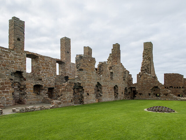
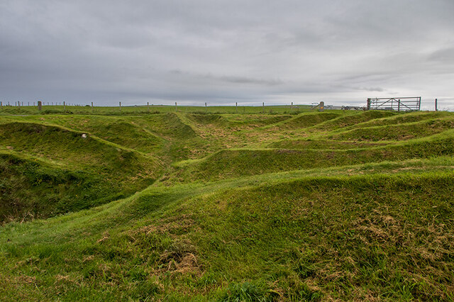
The headland also holds historical significance, with remnants of ancient settlements and archaeological sites dotted across its landscape. Ruins of Pictish and Norse settlements can be found nearby, offering a glimpse into the island's past. Visitors can explore these historical sites, unraveling the stories of those who once inhabited this rugged coastal area.
Drubba's location also makes it an ideal spot for fishing and water sports enthusiasts. The surrounding waters are teeming with a variety of fish species, attracting anglers from far and wide. Additionally, the headland's rocky shores and crashing waves provide an exhilarating backdrop for activities such as surfing and kayaking.
Overall, Drubba is a captivating coastal feature that combines natural beauty, historical significance, and recreational opportunities. Whether one seeks stunning views, wildlife encounters, or a glimpse into Orkney's past, this headland offers an unforgettable experience for all who visit.
If you have any feedback on the listing, please let us know in the comments section below.
Drubba Images
Images are sourced within 2km of 59.139569/-3.3001767 or Grid Reference HY2528. Thanks to Geograph Open Source API. All images are credited.


Drubba is located at Grid Ref: HY2528 (Lat: 59.139569, Lng: -3.3001767)
Unitary Authority: Orkney Islands
Police Authority: Highlands and Islands
What 3 Words
///affair.somewhere.tape. Near Birsay, Orkney Islands
Nearby Locations
Related Wikis

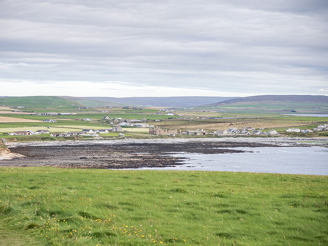
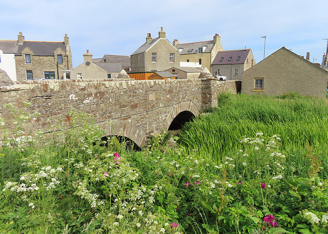
Birsay
Birsay () (Old Norse: Birgisherað) is a parish in the north west corner of The Mainland of Orkney, Scotland. Almost all the land in the parish is devoted...

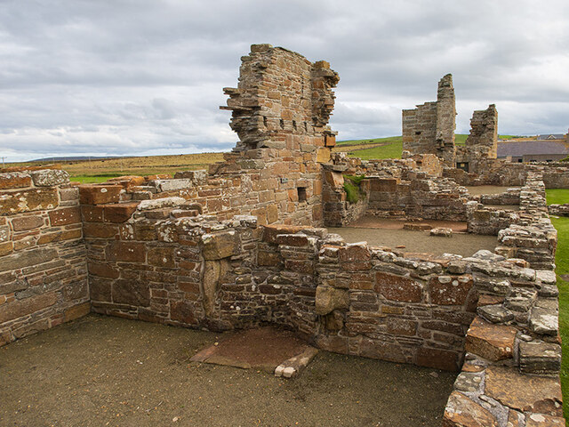
Earl's Palace, Birsay
The Earl's Palace in Birsay, Orkney, Scotland, is a ruined 16th-century castle. It was built by Robert Stewart, 1st Earl of Orkney (1533–1593), illegitimate...

St Magnus Church, Birsay
St Magnus Church, Birsay is a 17th-century church located in the parish of Birsay on Mainland, Orkney in Scotland. Built in 1664 on the site of an earlier...

Buckquoy spindle-whorl
The Buckquoy spindle-whorl is an Ogham-inscribed spindle-whorl dating from the Early Middle Ages, probably the 8th century, which was found in 1970 in...
Nearby Amenities
Located within 500m of 59.139569,-3.3001767Have you been to Drubba?
Leave your review of Drubba below (or comments, questions and feedback).