Sillery Geo
Coastal Feature, Headland, Point in Orkney
Scotland
Sillery Geo
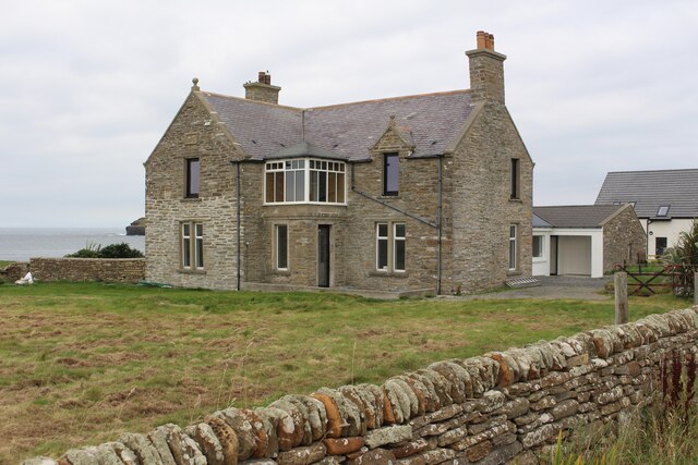
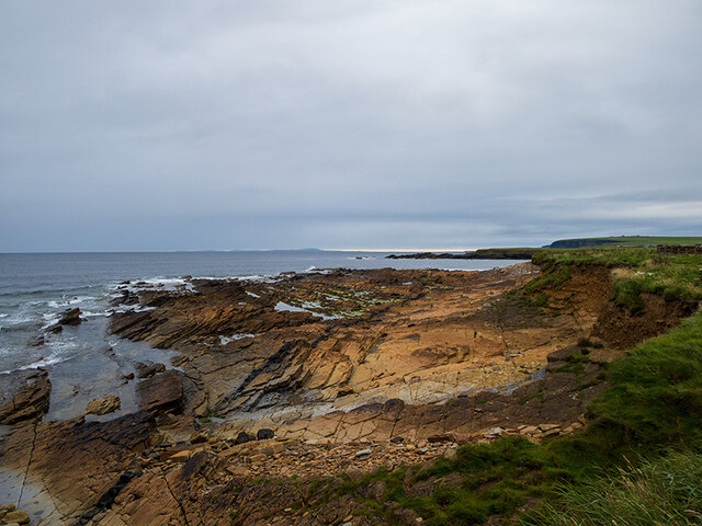
Sillery Geo is a prominent coastal feature located in the Orkney Islands, which are situated off the northeastern coast of Scotland. This geological formation is categorized as a headland, also commonly referred to as a point, and is known for its striking cliffs and rugged beauty.
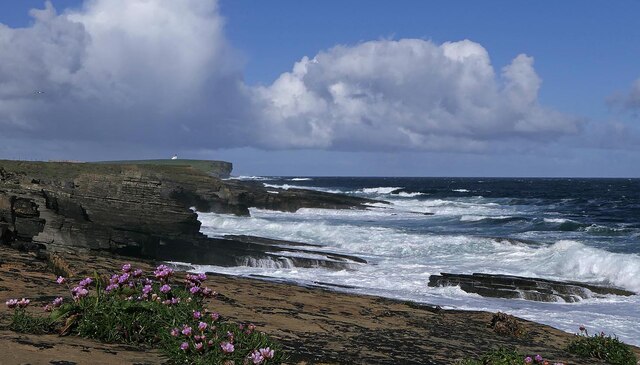
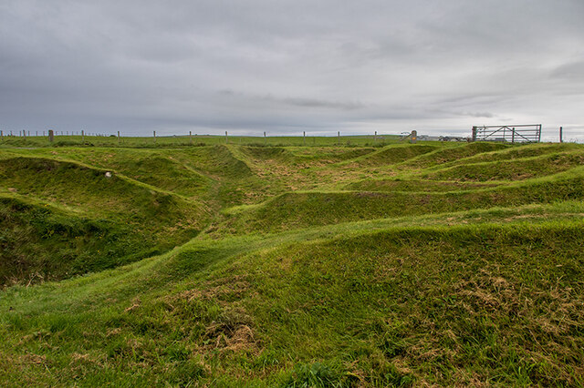
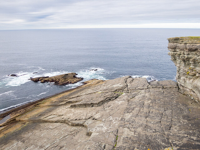
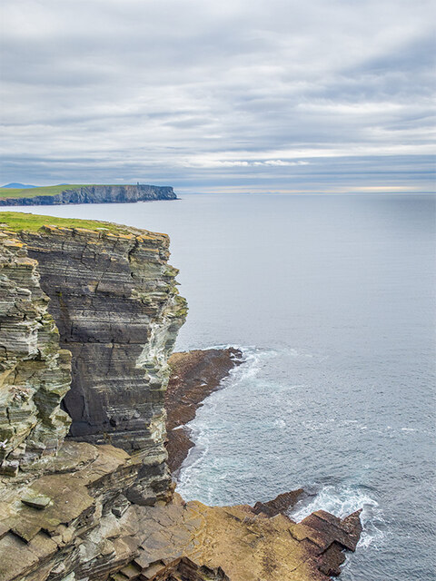
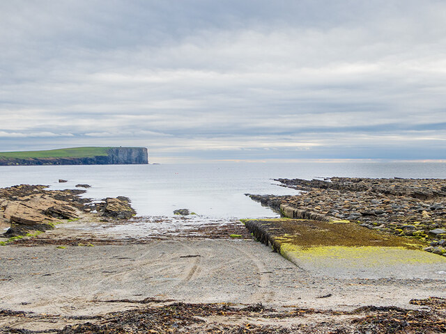
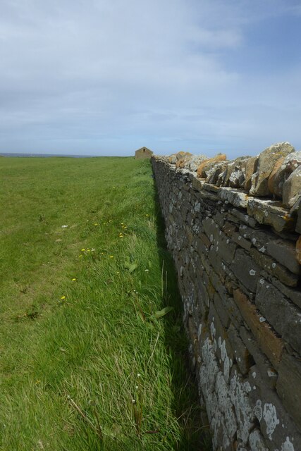
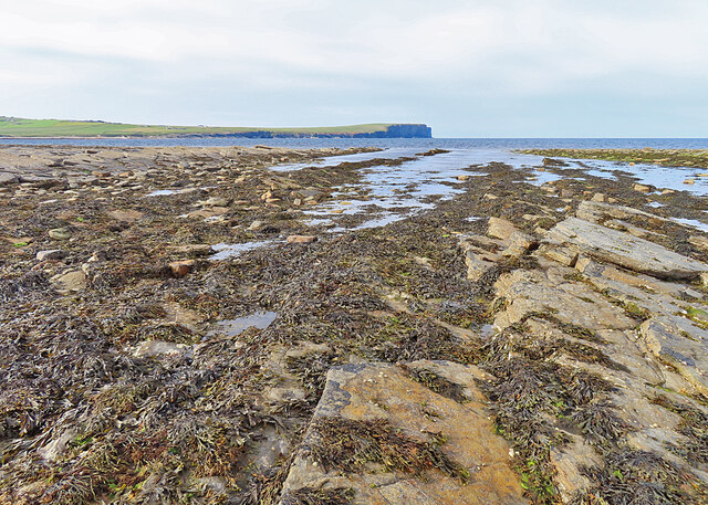
Located on the western coast of Orkney Mainland, Sillery Geo is characterized by steep cliffs that rise dramatically from the Atlantic Ocean. These cliffs are composed of layered sandstone and stand tall against the relentless crashing of waves. The exposed rock formations provide a glimpse into the region's geological history, showcasing the effects of erosion and tectonic activity over millions of years.
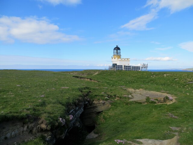
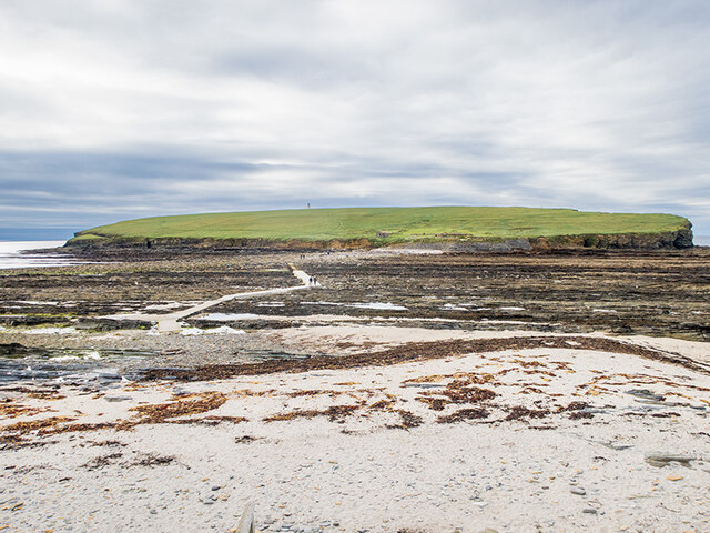
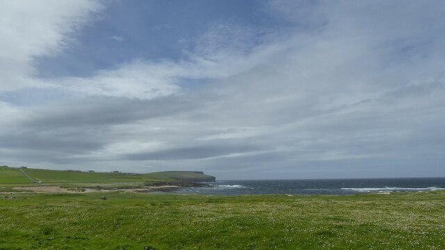
Sillery Geo offers breathtaking panoramic views of the surrounding coastline and the vast expanse of the Atlantic Ocean. The headland is a popular spot for photographers, nature enthusiasts, and hikers alike, who are drawn to its natural beauty and unique rock formations. The area is home to a diverse range of seabirds, including guillemots, razorbills, and puffins, making it a haven for birdwatchers.
Visitors to Sillery Geo can access the site via a designated footpath that winds its way along the cliff edge. The path is well-maintained but can be steep and challenging in some areas, so caution is advised. The headland is also a part of the North West Coast Geopark, which recognizes the geological significance of the area and promotes education and conservation efforts.
With its stunning cliffs, panoramic views, and rich geological history, Sillery Geo is a must-visit destination for anyone exploring the rugged beauty of the Orkney Islands.
If you have any feedback on the listing, please let us know in the comments section below.
Sillery Geo Images
Images are sourced within 2km of 59.139624/-3.3089703 or Grid Reference HY2528. Thanks to Geograph Open Source API. All images are credited.
Sillery Geo is located at Grid Ref: HY2528 (Lat: 59.139624, Lng: -3.3089703)
Unitary Authority: Orkney Islands
Police Authority: Highlands and Islands
What 3 Words
///boarding.slack.elder. Near Birsay, Orkney Islands
Nearby Locations
Related Wikis

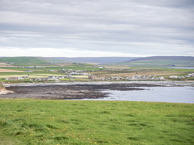
Birsay
Birsay () (Old Norse: Birgisherað) is a parish in the north west corner of The Mainland of Orkney, Scotland. Almost all the land in the parish is devoted...

Buckquoy spindle-whorl
The Buckquoy spindle-whorl is an Ogham-inscribed spindle-whorl dating from the Early Middle Ages, probably the 8th century, which was found in 1970 in...

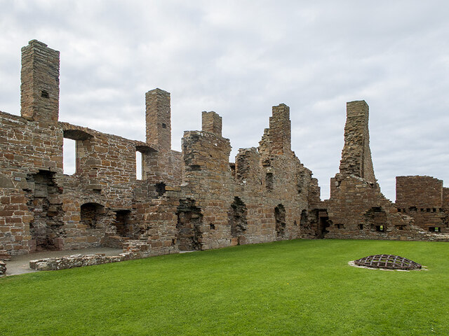
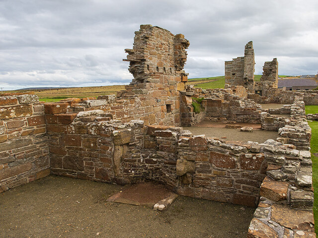
Earl's Palace, Birsay
The Earl's Palace in Birsay, Orkney, Scotland, is a ruined 16th-century castle. It was built by Robert Stewart, 1st Earl of Orkney (1533–1593), illegitimate...

St Magnus Church, Birsay
St Magnus Church, Birsay is a 17th-century church located in the parish of Birsay on Mainland, Orkney in Scotland. Built in 1664 on the site of an earlier...
Nearby Amenities
Located within 500m of 59.139624,-3.3089703Have you been to Sillery Geo?
Leave your review of Sillery Geo below (or comments, questions and feedback).