Withesike Bay
Bay in Cumberland Allerdale
England
Withesike Bay
Witchesike Bay is a picturesque bay located on the western coast of Cumberland, a county in the northwestern part of England. It is situated approximately 10 miles south of Whitehaven and 30 miles northwest of the city of Carlisle. The bay is nestled between the towns of St. Bees to the north and Sellafield to the south.
With its stunning natural beauty, Witchesike Bay attracts visitors from far and wide. The bay is characterized by its pristine sandy beach, which stretches for nearly a mile along the coastline. The beach is backed by rugged cliffs, providing a dramatic backdrop to the bay's scenery.
Witchesike Bay is a popular destination for outdoor enthusiasts, offering a range of activities. The beach is ideal for sunbathing, picnicking, and leisurely strolls. The clear waters of the bay are perfect for swimming, kayaking, and other water sports.
Nature lovers will also appreciate Witchesike Bay's wildlife and birdlife. The bay is home to a variety of seabirds, including gulls, puffins, and cormorants. Visitors may also spot seals and dolphins in the bay's waters.
For those looking to explore further afield, the surrounding area offers ample opportunities. St. Bees Head, a renowned nature reserve, is located just north of the bay. Here, visitors can enjoy stunning coastal walks and observe seabird colonies nesting on the cliffs.
Overall, Witchesike Bay is a hidden gem on the Cumberland coast, offering natural beauty and outdoor activities for visitors of all ages.
If you have any feedback on the listing, please let us know in the comments section below.
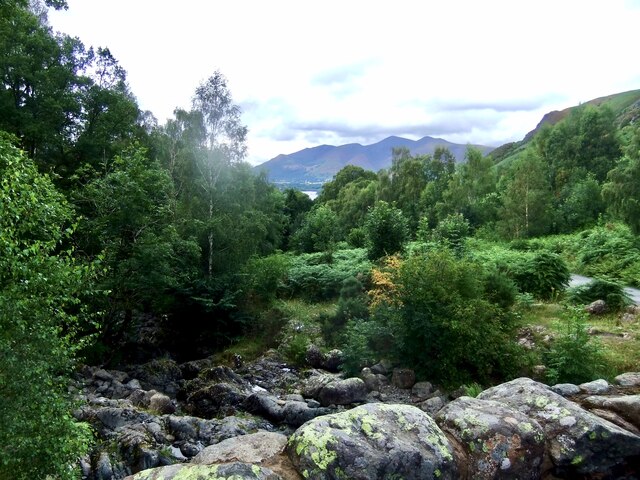
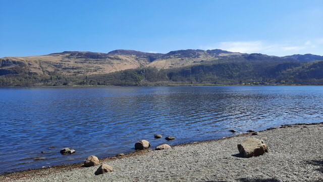
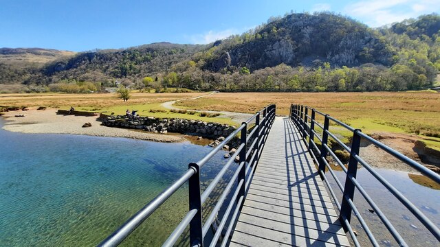
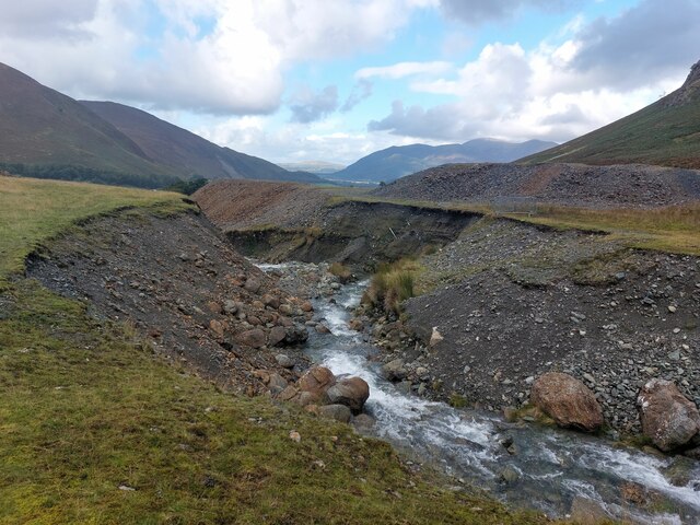
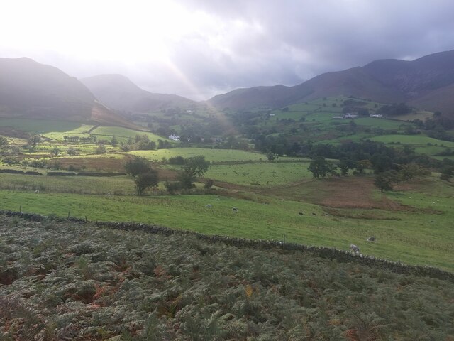
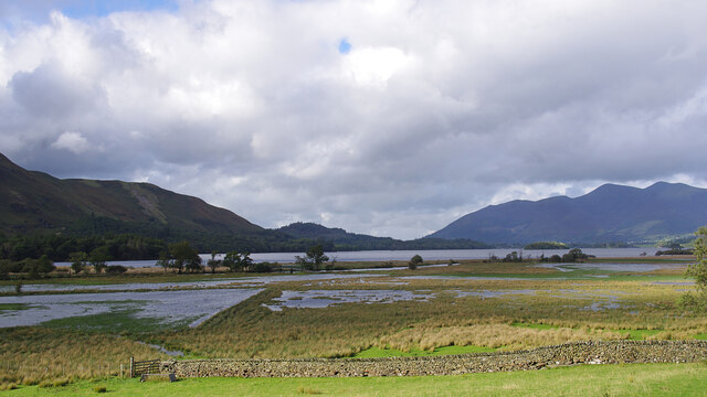
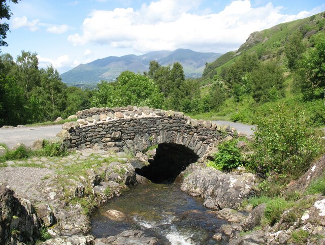
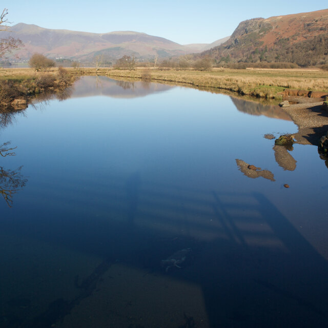
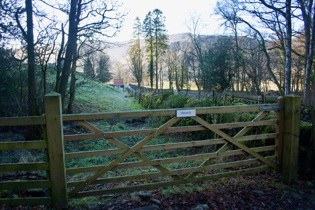
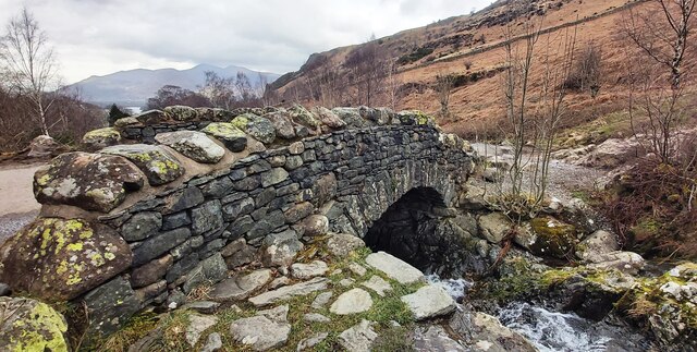
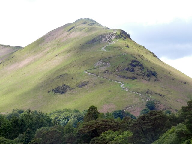
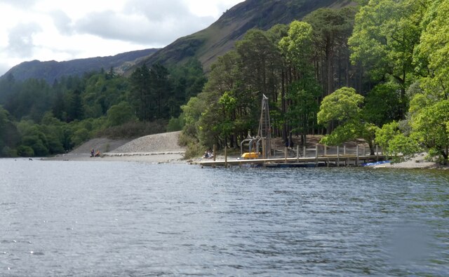
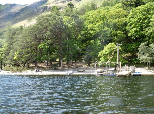
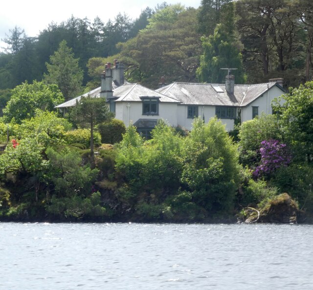
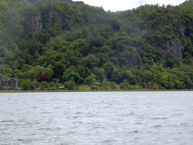
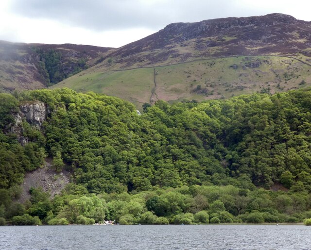
Withesike Bay Images
Images are sourced within 2km of 54.572198/-3.157841 or Grid Reference NY2520. Thanks to Geograph Open Source API. All images are credited.


Withesike Bay is located at Grid Ref: NY2520 (Lat: 54.572198, Lng: -3.157841)
Administrative County: Cumbria
District: Allerdale
Police Authority: Cumbria
What 3 Words
///peanut.unwanted.chestnuts. Near Keswick, Cumbria
Nearby Locations
Related Wikis
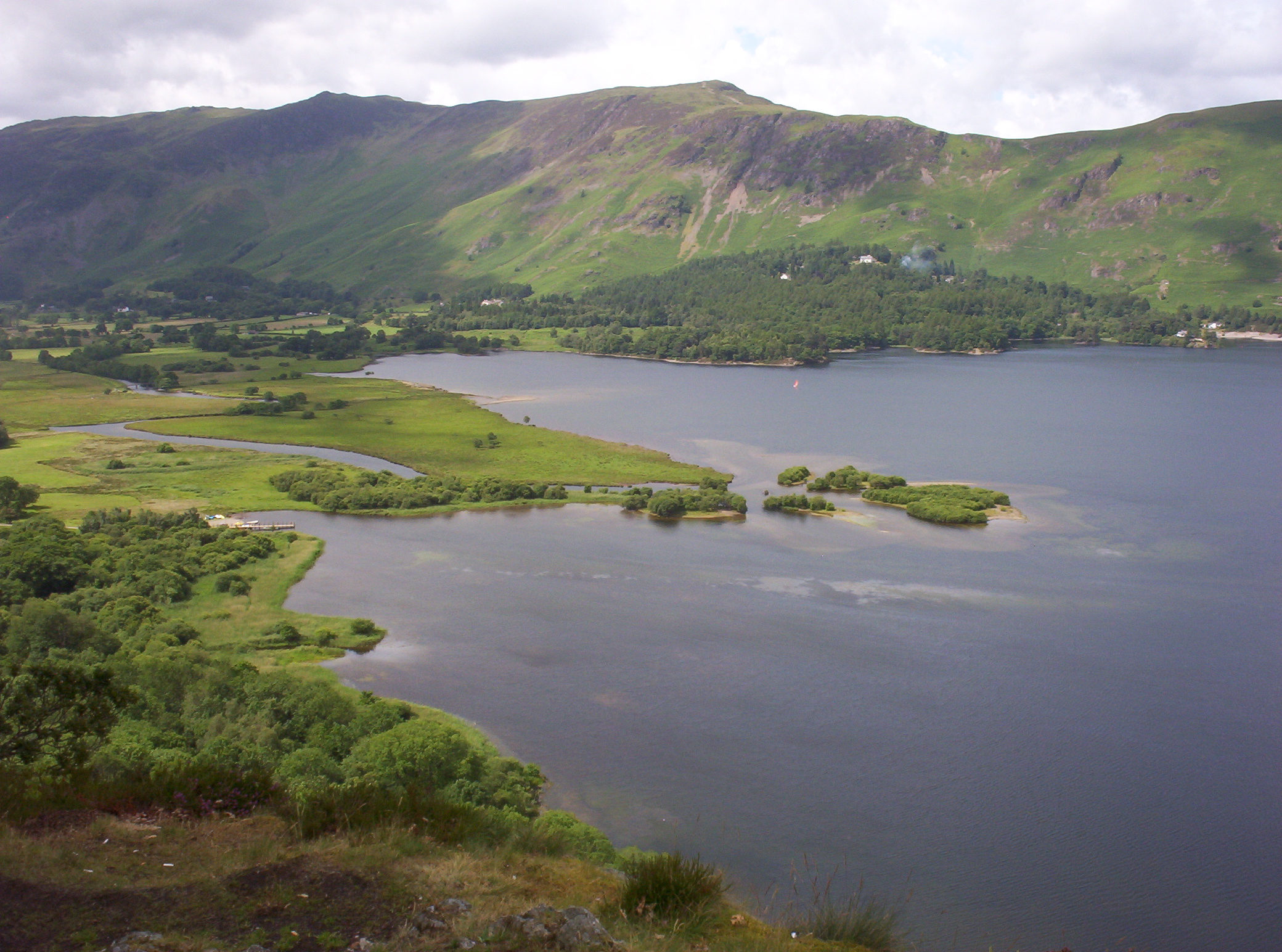
Cat Bells
Cat Bells is a fell in the English Lake District in the county of Cumbria. It has a height of 451 metres (1,480 ft) and is one of the most popular fells...
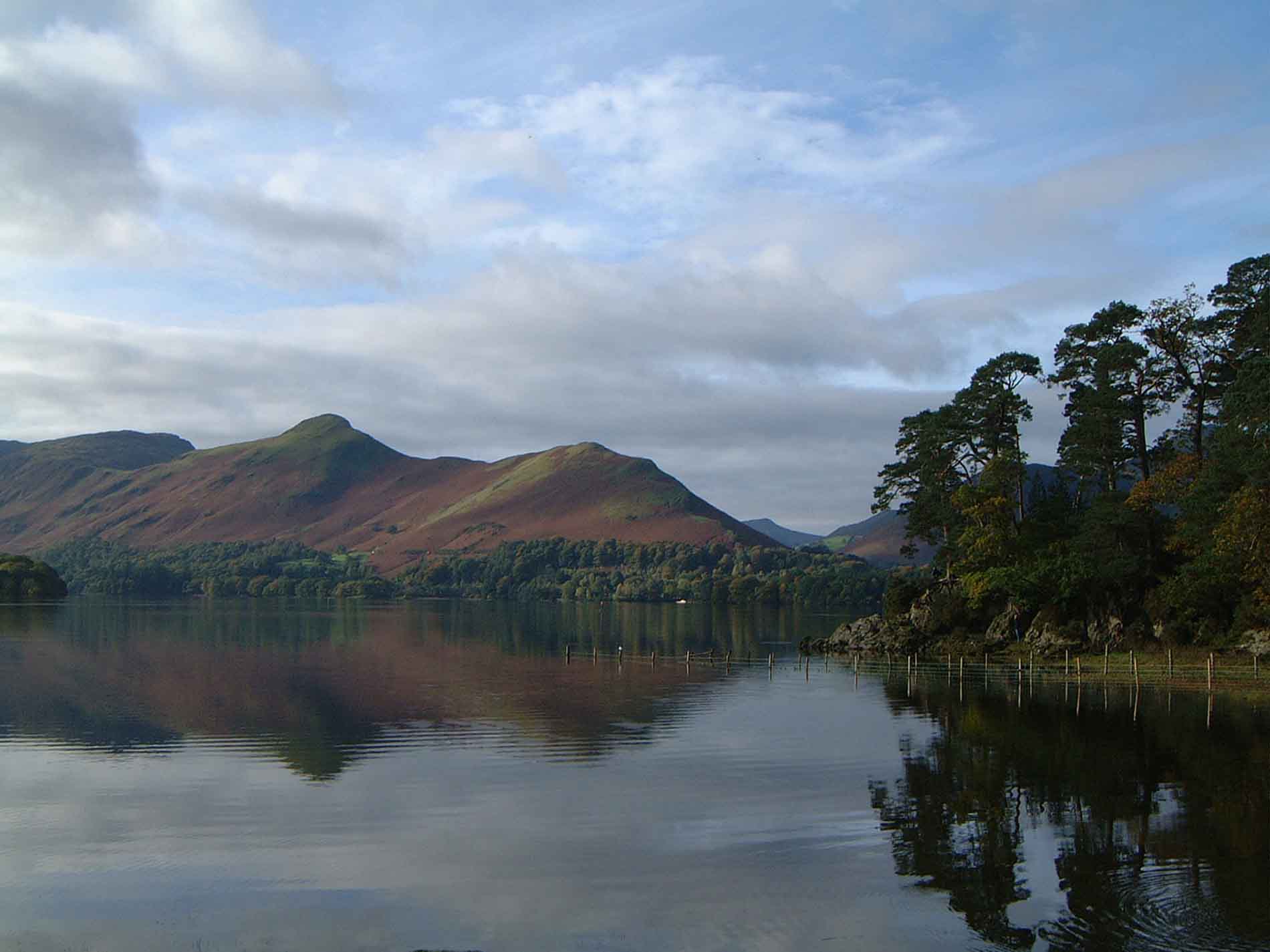
Derwentwater
Derwentwater, or Derwent Water, is a lake in the Lake District in North West England, immediately south of Keswick. It is in the unitary authority of Cumberland...
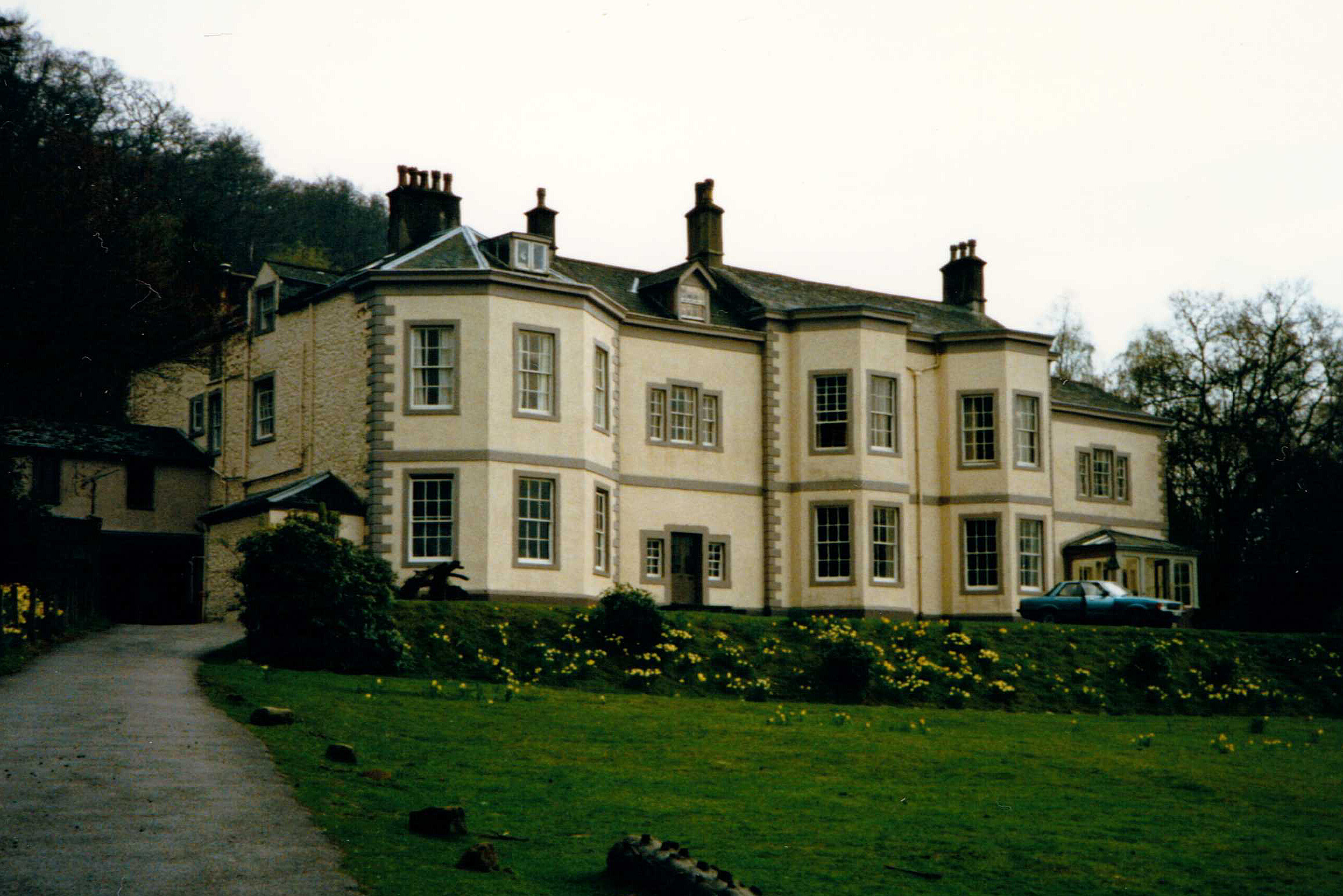
Barrow House, Cumbria
Barrow House is a late 18th-century mansion situated on the eastern shore of Derwentwater in Borrowdale within the Lake District National Park, in the...

Rigg Beck
Rigg Beck is a minor river of Cumbria in England. Rigg Beck is also the name of a famous dwelling – the Purple House – placed where the Beck crosses the...
Nearby Amenities
Located within 500m of 54.572198,-3.157841Have you been to Withesike Bay?
Leave your review of Withesike Bay below (or comments, questions and feedback).