Victoria Bay
Bay in Cumberland Allerdale
England
Victoria Bay

Victoria Bay, also known as Cumberland Bay, is a picturesque coastal town located in the Western Cape province of South Africa. Situated approximately 11 kilometers from George, it is nestled between towering cliffs and lush greenery, making it a popular destination for nature lovers and outdoor enthusiasts.
The bay itself is a small, sheltered cove that offers breathtaking views of the Indian Ocean. With its pristine sandy beach and clear turquoise waters, it is an ideal spot for swimming, surfing, and sunbathing. The bay is known for its consistent surf breaks, attracting surfers from near and far.
Surrounded by a beautiful natural landscape, Victoria Bay offers numerous hiking trails that wind through the surrounding hills and forests. These trails provide visitors with an opportunity to explore the area's diverse flora and fauna while enjoying panoramic views of the bay and its surroundings.
The town itself is small and tranquil, with a few accommodation options, cafes, and restaurants offering delicious seafood and local cuisine. It is a great place to relax and unwind, away from the hustle and bustle of city life.
Victoria Bay is also a popular spot for fishing, both from the beach and rocks. Anglers can expect to catch a variety of fish, including kob, galjoen, and blacktail.
In conclusion, Victoria Bay, or Cumberland Bay, is a hidden gem on the South African coastline. With its stunning natural beauty, excellent surf, and peaceful ambiance, it is a must-visit destination for those seeking a tranquil beach getaway.
If you have any feedback on the listing, please let us know in the comments section below.
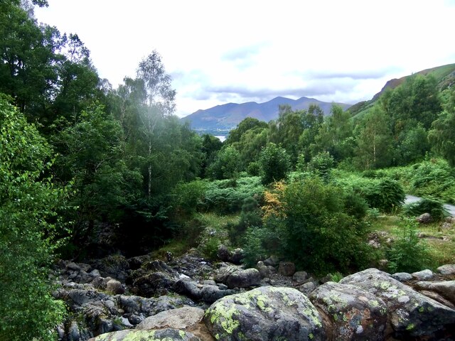
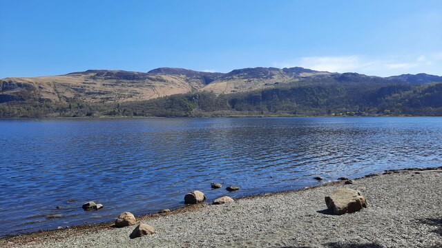
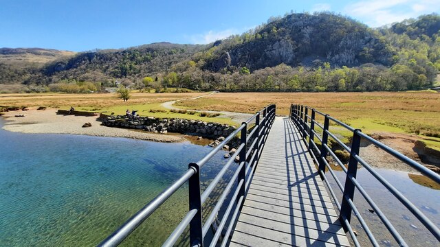
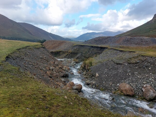
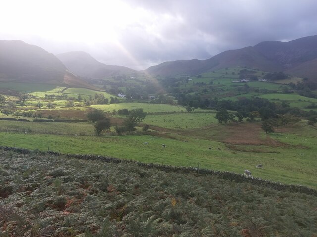
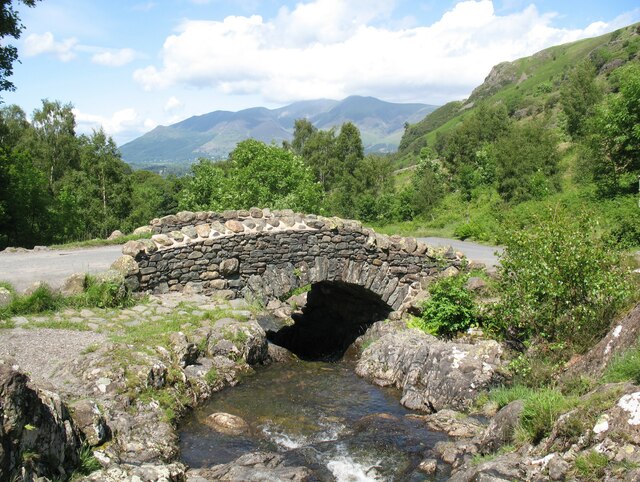
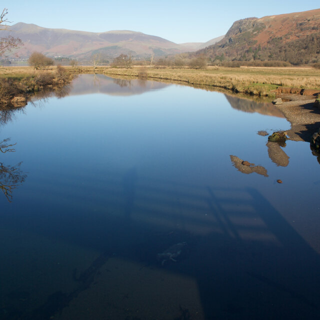
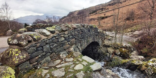
Victoria Bay Images
Images are sourced within 2km of 54.574928/-3.1570676 or Grid Reference NY2520. Thanks to Geograph Open Source API. All images are credited.

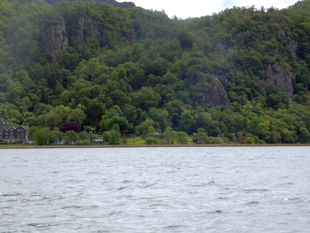
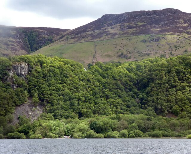

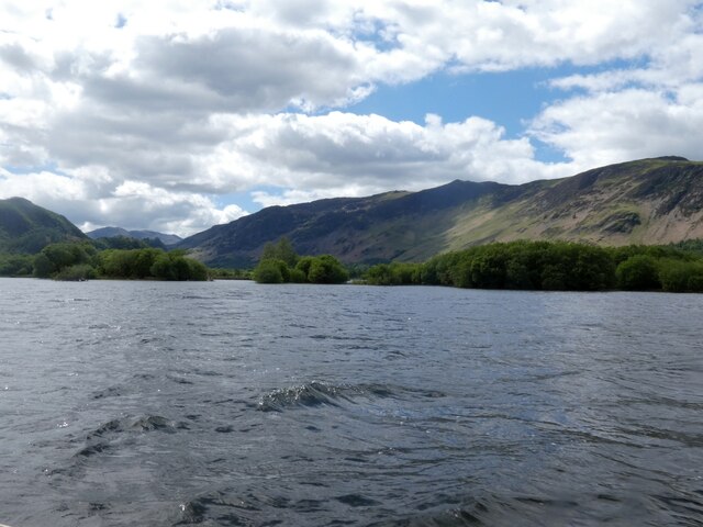
Victoria Bay is located at Grid Ref: NY2520 (Lat: 54.574928, Lng: -3.1570676)
Administrative County: Cumbria
District: Allerdale
Police Authority: Cumbria
What 3 Words
///bunks.leader.outwards. Near Keswick, Cumbria
Nearby Locations
Related Wikis
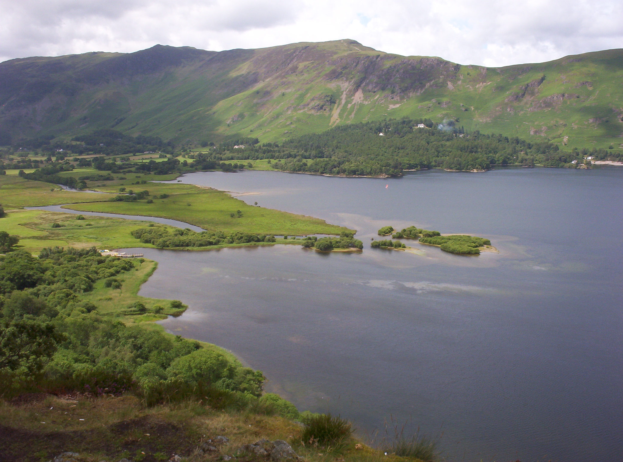
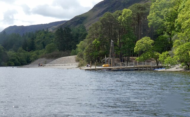
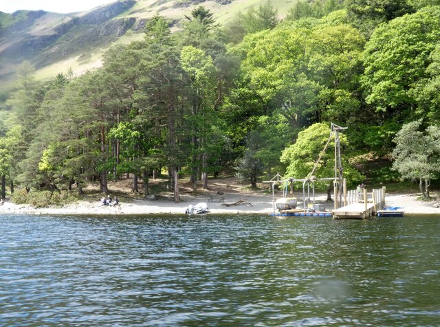
Derwentwater
Derwentwater, or Derwent Water, is a lake in the Lake District in North West England, immediately south of Keswick. It is in the unitary authority of Cumberland...
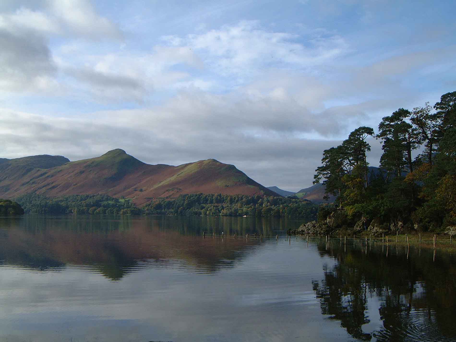
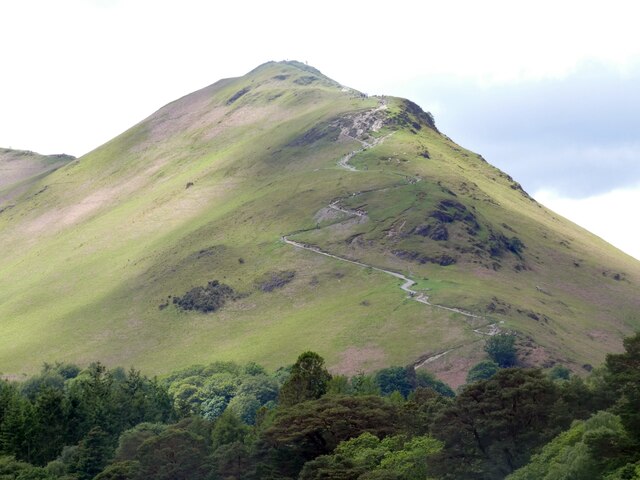
Cat Bells
Cat Bells is a fell in the English Lake District in the county of Cumbria. It has a height of 451 metres (1,480 ft) and is one of the most popular fells...

Herbert of Derwentwater
Saint Herbert of Derwentwater (died 20 March 687) was an Anglo-Saxon priest and hermit who lived on the small St Herbert's Island in Derwentwater, Cumbria...
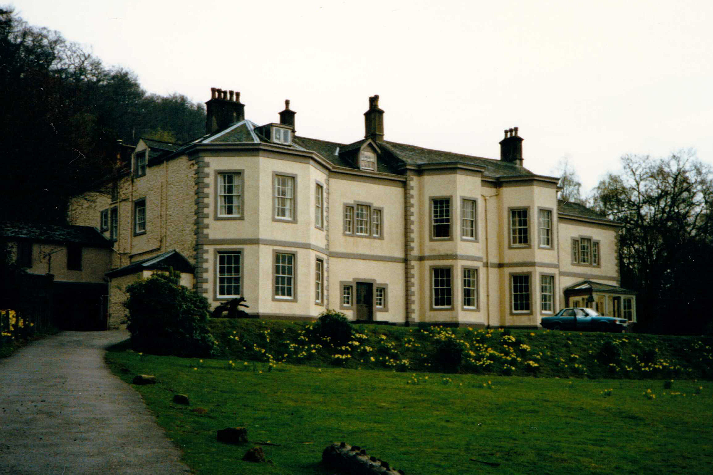
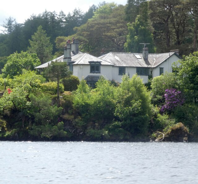
Barrow House, Cumbria
Barrow House is a late 18th-century mansion situated on the eastern shore of Derwentwater in Borrowdale within the Lake District National Park, in the...
Nearby Amenities
Located within 500m of 54.574928,-3.1570676Have you been to Victoria Bay?
Leave your review of Victoria Bay below (or comments, questions and feedback).