Derwent Bay
Bay in Cumberland Allerdale
England
Derwent Bay

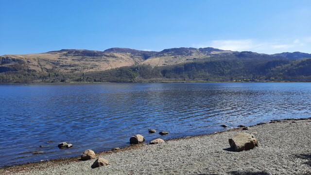
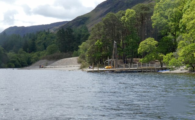
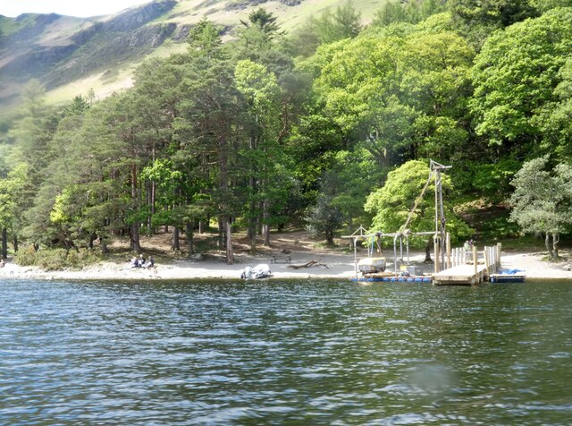
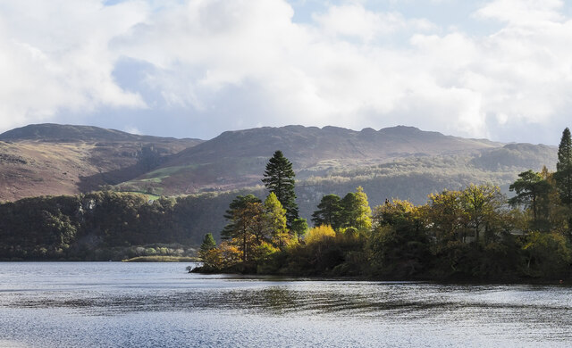
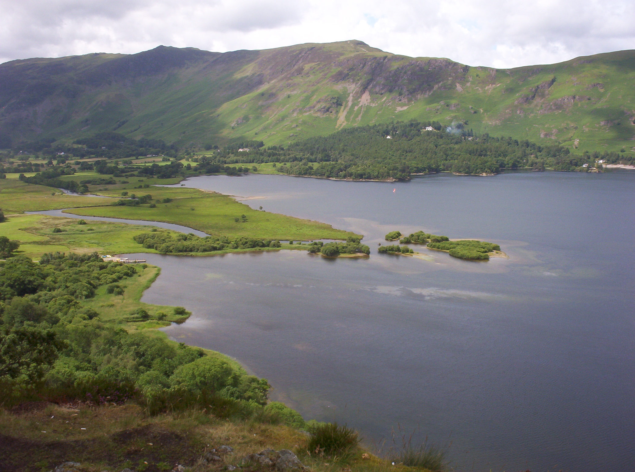
Derwent Bay is a picturesque bay located in Cumberland, a historic county in northwest England. It is nestled on the western shore of Derwent Water, a stunning lake situated in the Lake District National Park. The bay is encompassed by rolling hills and verdant woodlands, offering visitors a tranquil and scenic retreat.
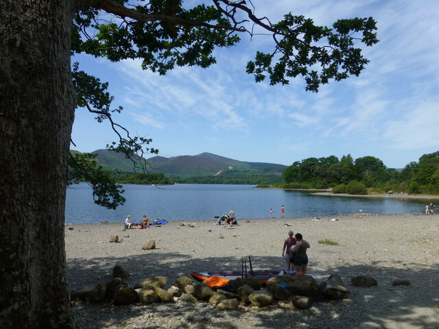
With its crystal-clear waters, Derwent Bay is a popular spot for water-based activities such as boating, kayaking, and fishing. The bay's calm and sheltered nature make it an ideal location for beginners and experienced water enthusiasts alike.
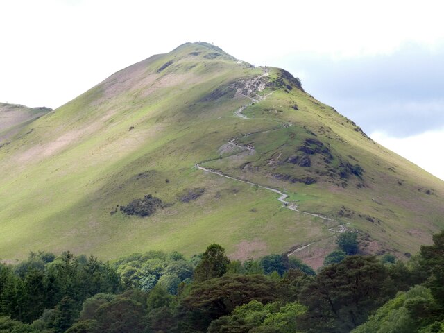
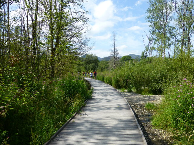
The surrounding landscape of Derwent Bay is a haven for nature lovers and hikers. Numerous walking trails wind through the nearby hills and forests, providing opportunities for breathtaking views and encounters with local wildlife. One notable trail is the Catbells, a fell that offers panoramic vistas of the bay and its surroundings.
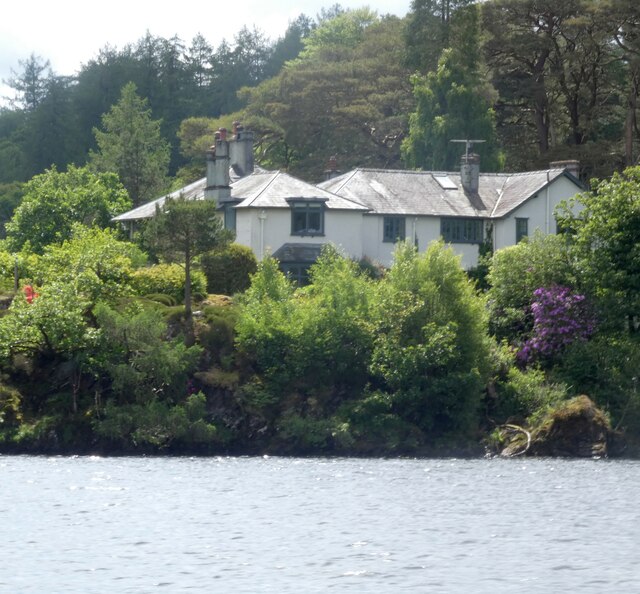
Derwent Bay is also home to several notable landmarks. On the eastern shore of the bay stands Derwent Island House, a historic residence with a rich history dating back to the 18th century. The house is privately owned but can be admired from the bay. Additionally, the Keswick Launch, a passenger boat service, operates from the bay, allowing visitors to explore other parts of Derwent Water.
Overall, Derwent Bay is an idyllic destination that combines natural beauty, outdoor activities, and historical charm. It attracts visitors from all over the world, who seek to immerse themselves in the tranquil ambiance and stunning vistas of this exceptional part of Cumberland.
If you have any feedback on the listing, please let us know in the comments section below.
Derwent Bay Images
Images are sourced within 2km of 54.582837/-3.1589473 or Grid Reference NY2521. Thanks to Geograph Open Source API. All images are credited.


Derwent Bay is located at Grid Ref: NY2521 (Lat: 54.582837, Lng: -3.1589473)
Administrative County: Cumbria
District: Allerdale
Police Authority: Cumbria
What 3 Words
///saloons.reef.smarting. Near Keswick, Cumbria
Nearby Locations
Related Wikis
Derwentwater
Derwentwater, or Derwent Water, is a lake in the Lake District in North West England, immediately south of Keswick. It is in the unitary authority of Cumberland...

Lingholm
Lingholm is a country house just outside Portinscale in Cumbria, England. == History == The house was built in 1871–1875 for Lt-Col James Fenton Greenall...

Swinside (Derwent Water)
Swinside is a hill in the northwestern area of the English Lake District. It is small, wooded and surrounded by much bigger and more popular fells, meaning...
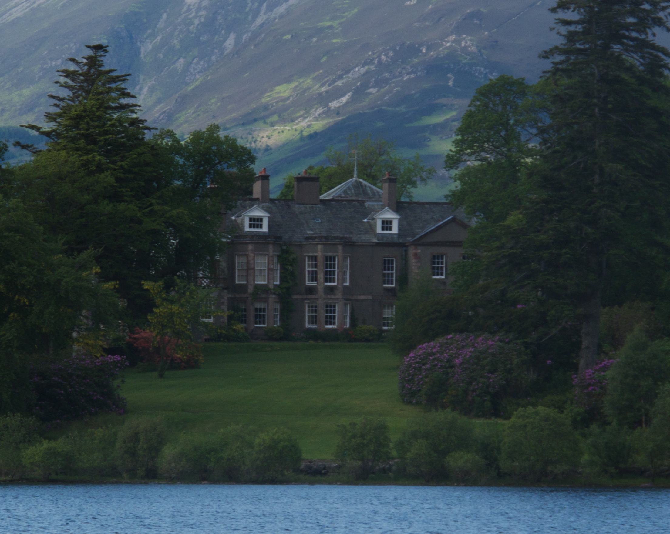
Derwent Island House
Derwent Island House (often called Derwent Isle House) is a Grade II listed 18th-century Italianate house situated on the seven-acre (three-hectare) Derwent...
Nearby Amenities
Located within 500m of 54.582837,-3.1589473Have you been to Derwent Bay?
Leave your review of Derwent Bay below (or comments, questions and feedback).