Pincushion Island

Island in Essex Tendring

England

Pincushion Island

Brightlingsea war memorial
Brightlingsea war memorial Credit: Helen Steed

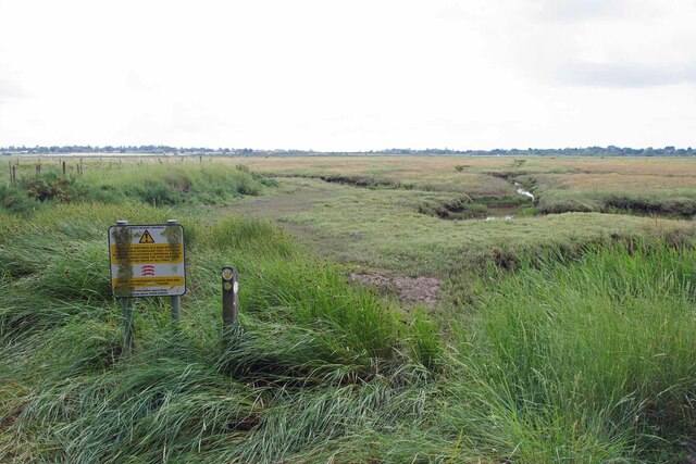
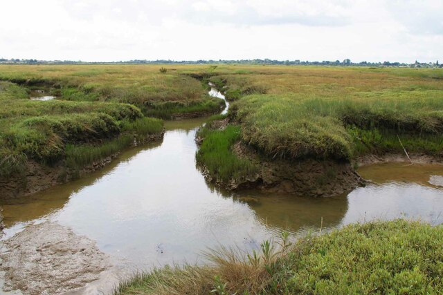
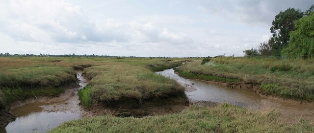
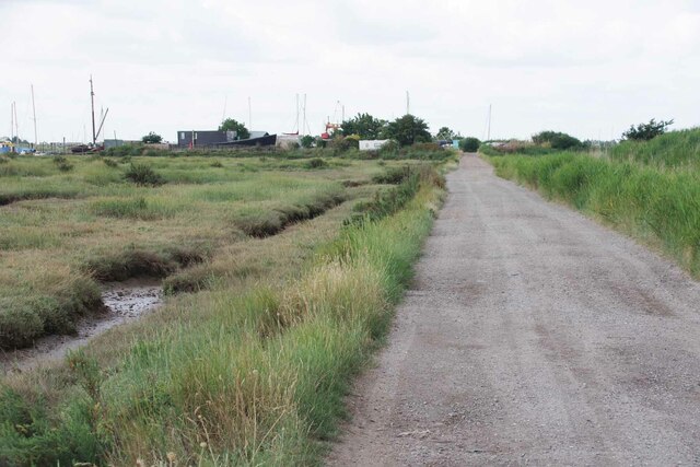
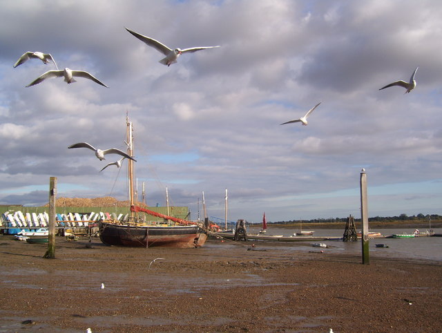
Pincushion Island is a small landmass located off the coast of Essex, England. Situated in the North Sea, it is part of the Foulness Island group which is owned by the Ministry of Defence (MOD) and is used primarily for military purposes.

Covering an area of approximately 0.06 square kilometers, Pincushion Island is characterized by its unique shape, resembling that of a pincushion, which gives it its name. The island is predominantly composed of sand, shingle, and marshland, with patches of vegetation scattered across its surface.

Access to Pincushion Island is restricted due to its military significance and is strictly controlled by the MOD. Being a part of the MOD Shoeburyness Range, the island is used for weapons testing and training purposes. Consequently, it is not open to the public, making it an isolated and untouched area.

The island is a haven for various bird species, making it an important site for birdwatchers and ornithologists. Pincushion Island and its surrounding waters are home to a diverse range of seabirds, including gulls, terns, and waders. The island's shoreline is also home to a variety of marine life, such as seals and other coastal species.

Overall, Pincushion Island is a small but significant landmass off the coast of Essex, primarily used for military purposes. Its unique shape, restricted access, and diverse wildlife make it an intriguing and protected area within the Foulness Island group.

If you have any feedback on the listing, please let us know in the comments section below.

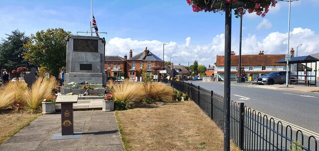
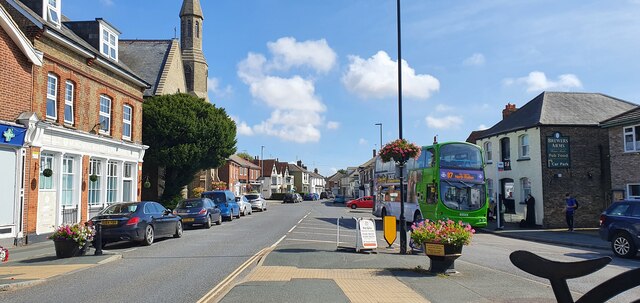
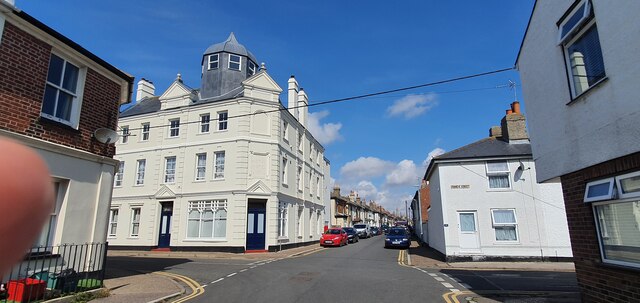
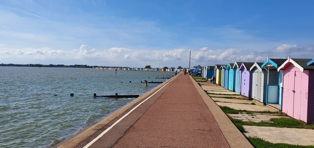
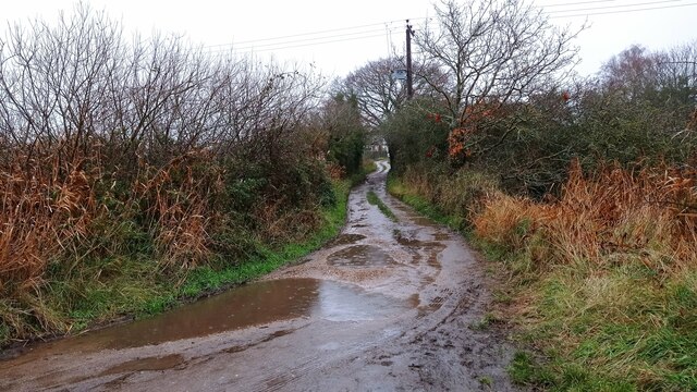
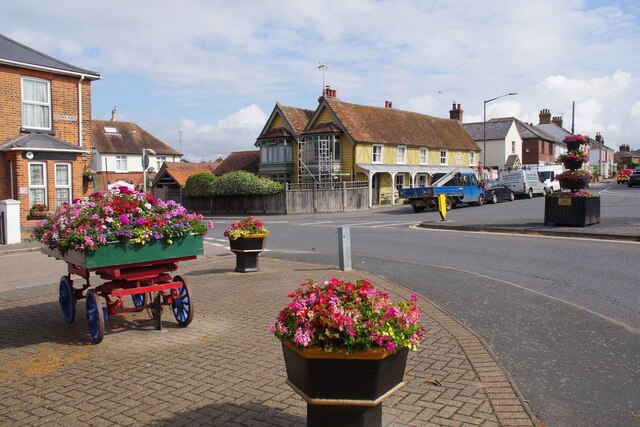
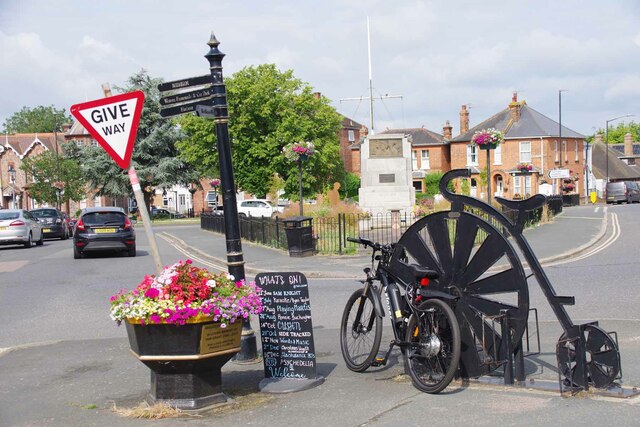
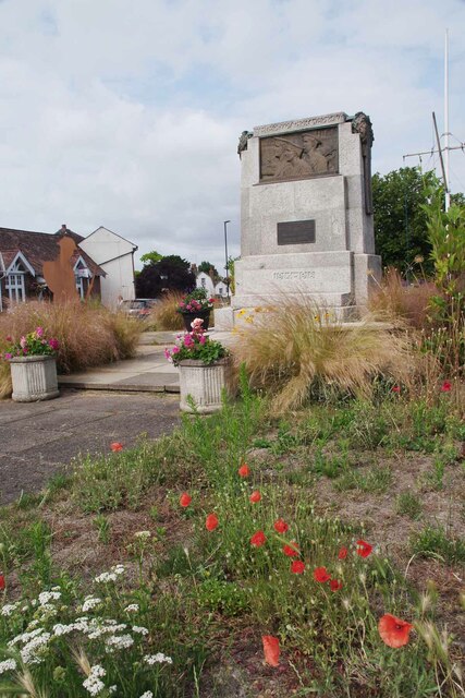
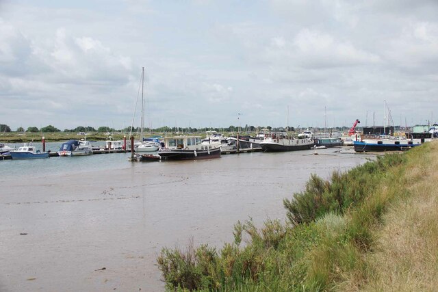
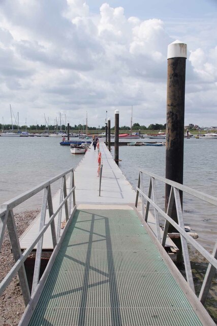
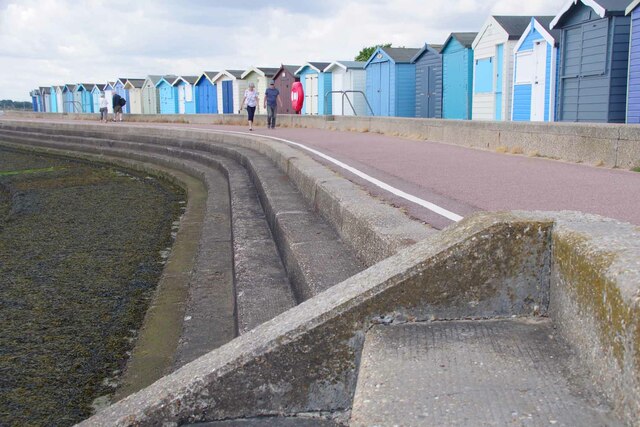
Pincushion Island Images

Images are sourced within 2km of 51.803524/1.0433233 or Grid Reference TM0916. Thanks to Geograph Open Source API. All images are credited.

Brightlingsea war memorial
Brightlingsea High Street
The former Royal Hotel on Francis Street
Western promenade, Brightlingsea
Muddy path to Brightlingsea A path leading from Brightlingsea Creek to the town.
Muddy path to Brightlingsea
A path leading from Brightlingsea Creek to the town.
Flowers and Victoria Place Looking towards the King's Head undergoing repairs
Flowers and Victoria Place
Looking towards the King's Head undergoing repairs
Ordinary Bicycle and Electric Bike An artistic bicycle rack masquerading as a penny farthing. In the background is <a href="https://www.geograph.org.uk/photo/7542883">TM0816 : Field Poppies and War memorial</a>.
Ordinary Bicycle and Electric Bike
An artistic bicycle rack masquerading as a penny farthing. In the background is TM0816 : Field Poppies and War memorial.
Field Poppies and War memorial In the memorial garden there is a marker recognising the ANZACS who were stationed in Brightlingsea 1916-18. It appears the current management scheme is to keep the grass well cropped on the west side and more wild on the east.
Field Poppies and War memorial
In the memorial garden there is a marker recognising the ANZACS who were stationed in Brightlingsea 1916-18. It appears the current management scheme is to keep the grass well cropped on the west side and more wild on the east.
Dead End Path Judging by the well worn trail most people seem to think the path runs along the sea wall to the left. However the right of way  follows the right hand side of the "fleet" that is in front of the camera unless you intend to get very muddy see  <a href="https://www.geograph.org.uk/photo/7542887">TM0916 : End of the Path</a>
Dead End Path
Judging by the well worn trail most people seem to think the path runs along the sea wall to the left. However the right of way follows the right hand side of the "fleet" that is in front of the camera unless you intend to get very muddy see TM0916 : End of the Path
End of the Path The public right of way passes through the abandoned oyster beds to the right of the channel.
End of the Path
The public right of way passes through the abandoned oyster beds to the right of the channel.
Saltmarsh Panorama Brightlingsea footpath 25 runs along the sea wall to the right.
Saltmarsh Panorama
Brightlingsea footpath 25 runs along the sea wall to the right.
A Brightlingsea Byway This is Brightlingsea Byway 13.
A Brightlingsea Byway
This is Brightlingsea Byway 13.
Moorings in Brightlingsea Creek
Landing Stage for Point Clear and East Mersea During the summer months there is a regular ferry service from here to Mersea via Point Clear.
Landing Stage for Point Clear and East Mersea
During the summer months there is a regular ferry service from here to Mersea via Point Clear.
Brightlingsea Lido First opened in 1932 like most open air pools it fell out of favour and was due to be closed. However a group of locals banded together and the facility was relaunched in 2018.  See <span class="nowrap"><a title="https://historicpools.org.uk/member_pools/brightlingsea-lido/" rel="nofollow ugc noopener" href="https://historicpools.org.uk/member_pools/brightlingsea-lido/">Link</a><img style="margin-left:2px;" alt="External link" title="External link - shift click to open in new window" src="https://s1.geograph.org.uk/img/external.png" width="10" height="10"/></span> for more info.
Brightlingsea Lido
First opened in 1932 like most open air pools it fell out of favour and was due to be closed. However a group of locals banded together and the facility was relaunched in 2018. See LinkExternal link for more info.
Brightlingsea Beach Huts The estate agents in Brightlingsea often advertise huts. Most for more than my house cost thirty years ago!
Brightlingsea Beach Huts
The estate agents in Brightlingsea often advertise huts. Most for more than my house cost thirty years ago!
Brightlingsea Creek
Brightlingsea Creek
Mermaids at Brightlingsea One of a number of artworks surrounding a building-site at Brightlingsea marina.
Mermaids at Brightlingsea
One of a number of artworks surrounding a building-site at Brightlingsea marina.
Show me another place!

Pincushion Island is located at Grid Ref: TM0916 (Lat: 51.803524, Lng: 1.0433233)

Administrative County: Essex

District: Tendring

Police Authority: Essex

What 3 Words

///yappy.redeeming.plea. Near Brightlingsea, Essex

Related Wikis

Cindery Island

Cindery Island is at the mouth of Brightlingsea Creek (off the town of Brightlingsea) on the east coast of England in the county of Essex. == External... ==

Brightlingsea

Brightlingsea () is a coastal town and an electoral ward in the Tendring district of Essex, England. It is situated between Colchester and Clacton-on-Sea...

Battle of Brightlingsea

The Battle of Brightlingsea refers to a series of protests by animal rights supporters held in Brightlingsea, England, between 16 January and 30 October...

Brightlingsea Station

Brighlingsea Naval Base was an installation of the British Royal Navy located at Brightlingsea, Essex, on the East Coast of England. In both wars it was...

Point Clear

Point Clear is a village in the civil parish of St Osyth, south-west of the village of St Osyth and on the other side of St Osyth Creek, a branch of the...

Brightlingsea railway station

Brightlingsea railway station was located in Brightlingsea, Essex. It was on the single track branch line of the Wivenhoe and Brightlingsea Railway which...

Brightlingsea Regent F.C.

Brightlingsea Regent Football Club is an English football club based in Brightlingsea, Essex. Formed by a merger of Brightlingsea United and Regent Park...

Howlands Marsh

Howlands Marsh is a 29.9-hectare (74-acre) nature reserve north-east of St Osyth in Essex. It is managed by the Essex Wildlife Trust. It is part of the...

Nearby Amenities

Located within 500m of 51.803524,1.0433233
Fred's Hard
Place: locality
Source: OS_OpenData_StreetView
Lat/Long: 51.8054698/1.0488092
The Folly
Place: locality
Source: OS_OpenData_StreetView
Lat/Long: 51.8044618/1.040588
Power: pole
Source: bing
Lat/Long: 51.8003316/1.0447143
Power: pole
Source: bing
Lat/Long: 51.8012893/1.0445706
Power: pole
Source: bing
Lat/Long: 51.799375/1.0448555
The data included in this document is from www.openstreetmap.org. The data is made available under ODbL.

Have you been to Pincushion Island?

Leave your review of Pincushion Island below (or comments, questions and feedback).