Hurst Green

Settlement in Essex Tendring

England

Hurst Green

Brightlingsea war memorial
Brightlingsea war memorial Credit: Helen Steed

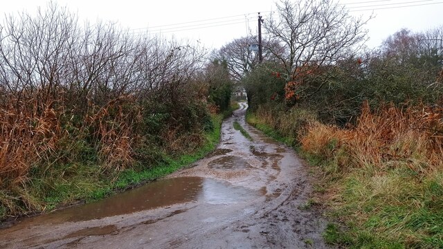
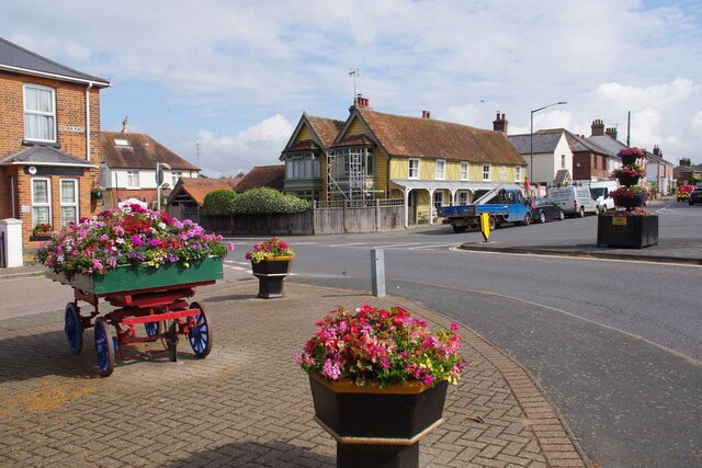
Hurst Green is a small village located in the county of Essex, England. Situated approximately 20 miles northeast of London, it falls within the local government district of Epping Forest. The village is surrounded by picturesque countryside and is known for its rural charm and tranquility.

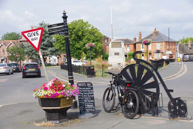
Hurst Green is home to a close-knit community, consisting of approximately 500 residents. It offers a range of amenities, including a village hall, a primary school, and a traditional pub. The village is well-connected, with easy access to nearby towns and cities via the A414 road and the M11 motorway.

The surrounding area is rich in natural beauty, with numerous walking and cycling routes available for outdoor enthusiasts. Epping Forest, a vast ancient woodland, is a short distance away and provides ample opportunities for recreational activities. The village is also close to several golf courses, offering options for sports enthusiasts.

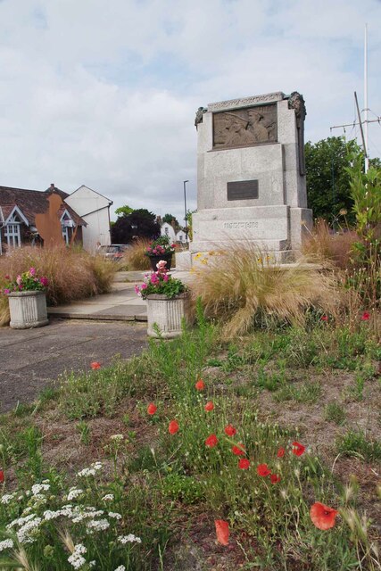
Hurst Green is steeped in history, with evidence of human settlement dating back to the Roman period. The village features several historic buildings, including St. John the Baptist Church, which dates back to the 12th century. The area also boasts a number of listed properties, showcasing the architectural heritage of the region.

Overall, Hurst Green offers a peaceful and idyllic setting, making it an attractive place to live for those seeking a quieter lifestyle while still having access to nearby urban centers.

If you have any feedback on the listing, please let us know in the comments section below.
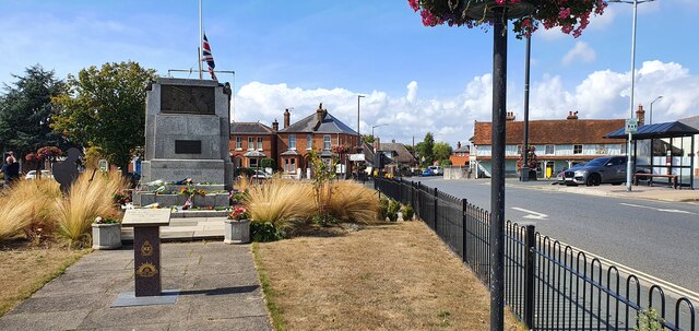
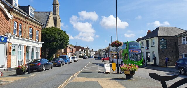
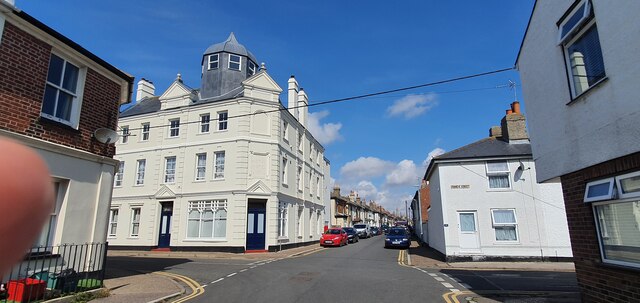
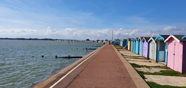
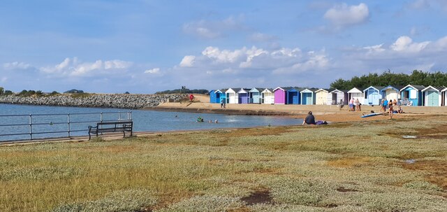
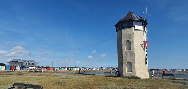
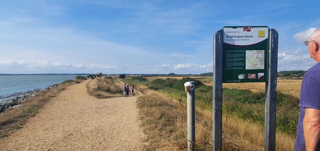
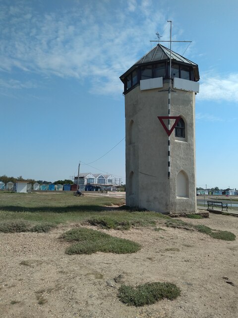
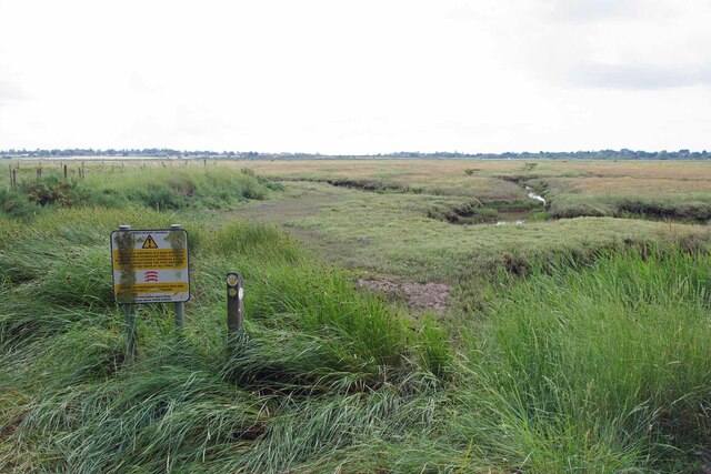
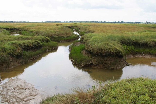
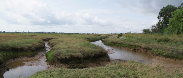
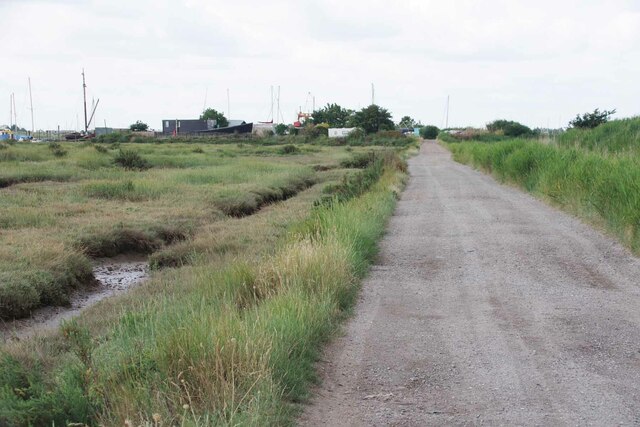
Hurst Green Images

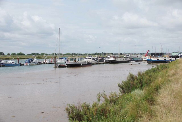
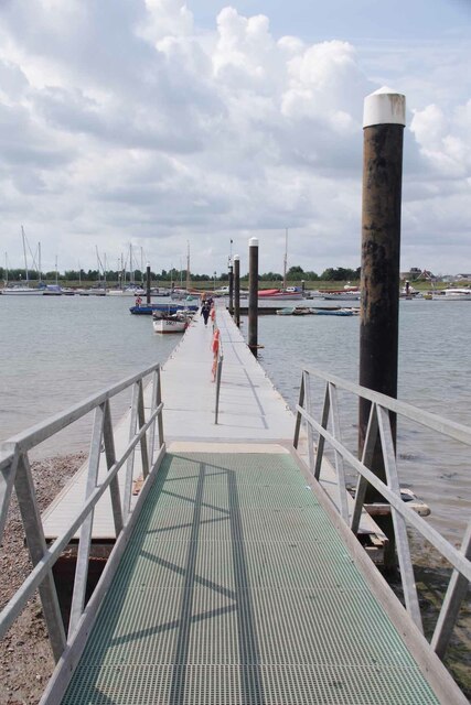
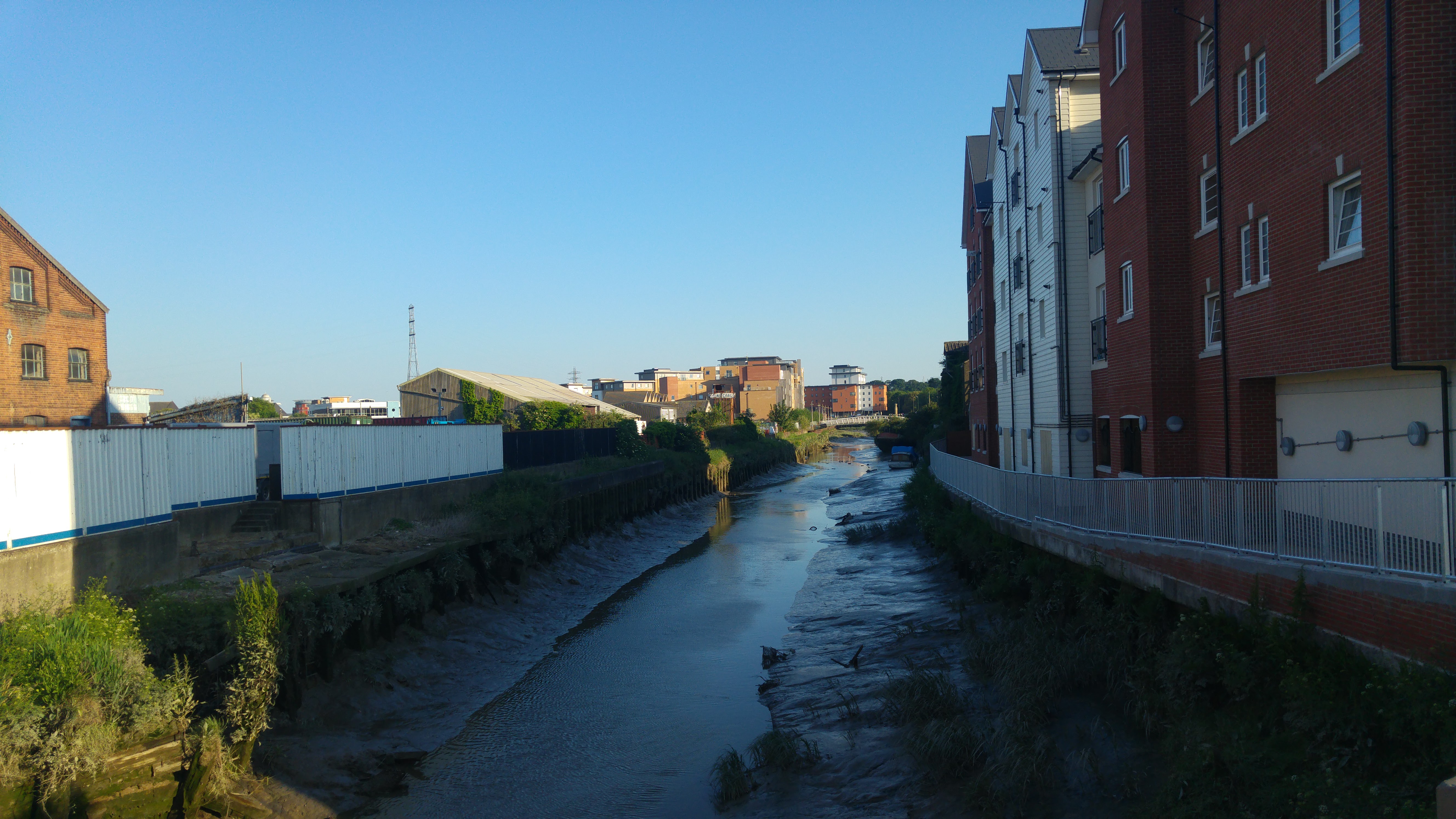
Images are sourced within 2km of 51.81037/1.032674 or Grid Reference TM0916. Thanks to Geograph Open Source API. All images are credited.

Brightlingsea war memorial
Brightlingsea High Street
The former Royal Hotel on Francis Street
Western promenade, Brightlingsea
The beach and beach huts near Bateman's tower
Bateman's tower, Brightlingsea
Entrance to Brightlingsea Marsh nature reserve
Bateman's Tower, Brightlingsea Bateman's Tower in Brightlingsea, by the River Colne. A Folly built in 1883.
Bateman's Tower, Brightlingsea
Bateman's Tower in Brightlingsea, by the River Colne. A Folly built in 1883.
Muddy path to Brightlingsea A path leading from Brightlingsea Creek to the town.
Muddy path to Brightlingsea
A path leading from Brightlingsea Creek to the town.
Flowers and Victoria Place Looking towards the King's Head undergoing repairs
Flowers and Victoria Place
Looking towards the King's Head undergoing repairs
Ordinary Bicycle and Electric Bike An artistic bicycle rack masquerading as a penny farthing. In the background is <a href="https://www.geograph.org.uk/photo/7542883">TM0816 : Field Poppies and War memorial</a>.
Ordinary Bicycle and Electric Bike
An artistic bicycle rack masquerading as a penny farthing. In the background is TM0816 : Field Poppies and War memorial.
Field Poppies and War memorial In the memorial garden there is a marker recognising the ANZACS who were stationed in Brightlingsea 1916-18. It appears the current management scheme is to keep the grass well cropped on the west side and more wild on the east.
Field Poppies and War memorial
In the memorial garden there is a marker recognising the ANZACS who were stationed in Brightlingsea 1916-18. It appears the current management scheme is to keep the grass well cropped on the west side and more wild on the east.
Dead End Path Judging by the well worn trail most people seem to think the path runs along the sea wall to the left. However the right of way  follows the right hand side of the "fleet" that is in front of the camera unless you intend to get very muddy see  <a href="https://www.geograph.org.uk/photo/7542887">TM0916 : End of the Path</a>
Dead End Path
Judging by the well worn trail most people seem to think the path runs along the sea wall to the left. However the right of way follows the right hand side of the "fleet" that is in front of the camera unless you intend to get very muddy see TM0916 : End of the Path
End of the Path The public right of way passes through the abandoned oyster beds to the right of the channel.
End of the Path
The public right of way passes through the abandoned oyster beds to the right of the channel.
Saltmarsh Panorama Brightlingsea footpath 25 runs along the sea wall to the right.
Saltmarsh Panorama
Brightlingsea footpath 25 runs along the sea wall to the right.
A Brightlingsea Byway This is Brightlingsea Byway 13.
A Brightlingsea Byway
This is Brightlingsea Byway 13.
Moorings in Brightlingsea Creek
Landing Stage for Point Clear and East Mersea During the summer months there is a regular ferry service from here to Mersea via Point Clear.
Landing Stage for Point Clear and East Mersea
During the summer months there is a regular ferry service from here to Mersea via Point Clear.
Show me another place!

Hurst Green is located at Grid Ref: TM0916 (Lat: 51.81037, Lng: 1.032674)

Administrative County: Essex

District: Tendring

Police Authority: Essex

What 3 Words

///justifies.clip.discrepancy. Near Brightlingsea, Essex

Related Wikis

Brightlingsea

Brightlingsea () is a coastal town and an electoral ward in the Tendring district of Essex, England. It is situated between Colchester and Clacton-on-Sea...

Battle of Brightlingsea

The Battle of Brightlingsea refers to a series of protests by animal rights supporters held in Brightlingsea, England, between 16 January and 30 October...

Brightlingsea Station

Brighlingsea Naval Base was an installation of the British Royal Navy located at Brightlingsea, Essex, on the East Coast of England. In both wars it was...

Brightlingsea Regent F.C.

Brightlingsea Regent Football Club is an English football club based in Brightlingsea, Essex. Formed by a merger of Brightlingsea United and Regent Park...

Cindery Island

Cindery Island is at the mouth of Brightlingsea Creek (off the town of Brightlingsea) on the east coast of England in the county of Essex. == External... ==

Brightlingsea railway station

Brightlingsea railway station was located in Brightlingsea, Essex. It was on the single track branch line of the Wivenhoe and Brightlingsea Railway which...

River Colne, Essex

The River Colne ( or ) is a small river that runs through Essex, England and passes through Colchester. It is not a tributary of any other river, instead...

Point Clear

Point Clear is a village in the civil parish of St Osyth, south-west of the village of St Osyth and on the other side of St Osyth Creek, a branch of the...

Nearby Amenities

Located within 500m of 51.81037,1.032674
Barrier: bollard
Lat/Long: 51.8120294/1.0326047
Noexit: yes
Lat/Long: 51.8110584/1.031046
Post Box
Collection Times: Mo-Fr 16:45; Sa 10:45
Post Box Type: pillar
Ref: CO7 86
Royal Cypher: EIIR
Royal Cypher Wikidata: Q33102113
Lat/Long: 51.8104503/1.0282236
Post Box
Collection Times: Mo-Fr 16:45; Sa 10:45
Mapillary: 301279635039129
Post Box Mounting: pier
Post Box Type: lamp
Postal Code: CO7 0HA
Ref: CO7 100
Royal Cypher: EIIR
Royal Cypher Wikidata: Q33102113
Survey Date: 2021-05-22
Lat/Long: 51.8110797/1.0327936
Post Box
Postal Code: CO7 0ND
Ref: CO7 398
Lat/Long: 51.8130451/1.0309844
Recycling
Lat/Long: 51.8109303/1.028959
Bus Stop
Chapel Road
Bench: no
Bin: no
Bus: yes
Lit: yes
Naptan AtcoCode: 150032004024
Naptan Bearing: N
Naptan CommonName: Chapel Road
Naptan Crossing: Hill House Court
Naptan Indicator: N-bound
Naptan Landmark: Chapel Road
Naptan NaptanCode: esxgjmjw
Naptan Street: Chapel Road
Public Transport: platform
Route Ref: 78; 78X
Shelter: no
Source: naptan_import;survey
Tactile Paving: no
Lat/Long: 51.8140542/1.0325025
Bus Stop
Chapel Road
Bench: no
Bin: no
Bus: yes
Lit: no
Naptan AtcoCode: 150032004025
Naptan Bearing: S
Naptan CommonName: Chapel Road
Naptan Crossing: Hill House Court
Naptan Indicator: S-bound
Naptan Landmark: Chapel Road
Naptan NaptanCode: esxgjmpa
Naptan Street: Chapel Road
Public Transport: platform
Route Ref: 78A
Shelter: no
Source: naptan_import;survey
Tactile Paving: no
Lat/Long: 51.8137648/1.0327031
Bus Stop
Hurst Green
Bench: no
Bin: no
Lit: yes
Naptan AtcoCode: 150032004026
Naptan Bearing: NE
Naptan CommonName: Hurst Green
Naptan Crossing: Mill Street
Naptan Indicator: Opp
Naptan Landmark: Hurst Green
Naptan NaptanCode: esxgjmpd
Naptan Street: Chapel Road
Naptan Verified: no
Public Transport: platform
Shelter: no
Source: naptan_import
Tactile Paving: no
Lat/Long: 51.8109108/1.0322373
Bus Stop
Hurst Green
Bench: yes
Bin: no
Lit: yes
Naptan AtcoCode: 150032004027
Naptan Bearing: SW
Naptan CommonName: Hurst Green
Naptan Crossing: Mill Street
Naptan Indicator: Adj
Naptan Landmark: Hurst Green
Naptan NaptanCode: esxgjmpg
Naptan Street: Chapel Road
Naptan Verified: no
Public Transport: platform
Shelter: no
Source: naptan_import
Tactile Paving: no
Lat/Long: 51.8107826/1.0321796
Bus Stop
High Street
Bench: no
Bin: no
Lit: yes
Naptan AtcoCode: 150032004028
Naptan Bearing: E
Naptan CommonName: High Street
Naptan Crossing: Back Waterside Lane
Naptan Indicator: E-bound
Naptan Landmark: High Street
Naptan NaptanCode: esxgjmpj
Naptan Street: High Street
Naptan Verified: no
Public Transport: platform
Shelter: no
Source: naptan_import
Tactile Paving: no
Lat/Long: 51.8103152/1.0305137
Bus Stop
High Street
Bench: no
Bin: no
Lit: yes
Naptan AtcoCode: 150032004029
Naptan Bearing: W
Naptan CommonName: High Street
Naptan Crossing: Back Waterside Lane
Naptan Indicator: W-bound
Naptan Landmark: High Street
Naptan NaptanCode: esxgjmpt
Naptan Street: High Street
Naptan Verified: no
Public Transport: platform
Shelter: no
Source: naptan_import
Tactile Paving: no
Lat/Long: 51.8103251/1.030082
Bus Stop
Victoria Place
Bench: no
Bin: no
Kerb: raised
Lit: yes
Naptan AtcoCode: 1500IM107
Naptan Bearing: W
Naptan CommonName: Victoria Place
Naptan Crossing: Queen Street
Naptan Indicator: W-bound
Naptan Landmark: Victoria Place
Naptan NaptanCode: esxgjmpm
Naptan Street: Victoria Place
Public Transport: platform
Shelter: no
Source: naptan_import
Tactile Paving: no
Timetable Case: yes
Lat/Long: 51.8108004/1.0257425
The Computer Shop
Addr Housenumber: 1a
Addr Postcode: CO7 0AE
Shop: computer
Lat/Long: 51.8108636/1.0262093
Bicycle Parking
Brightlingsea Library
Bicycle Parking: anchors
Capacity: 7
Covered: no
Source: GPS Cycle SUrvey
Lat/Long: 51.8103877/1.025771
Noexit: yes
Lat/Long: 51.8111322/1.0311197
Entrance: main
Lat/Long: 51.8102691/1.0336391
Defibrillator
Access: yes
Defibrillator Location: On outside wall of Street Cars, next to reception entrance
Emergency: defibrillator
Indoor: no
Ref GB The Circuit: A56C939C-32FF-4444-AD54-AD54009F8915
Lat/Long: 51.8102629/1.0336434
Entrance: main
Lat/Long: 51.8104992/1.028874
Defibrillator
Access: yes
Defibrillator Location: On exterior of front wall of shop
Emergency: defibrillator
Indoor: no
Ref GB The Circuit: FAAE20E3-D67C-41A5-82D7-AD5400AF0007
Lat/Long: 51.8105126/1.0288443
Addr City: Brightlingsea
Addr Housenumber: 1a
Addr Postcode: CO7 0DA
Addr Street: James Street
Lat/Long: 51.8093956/1.0255971
Cafe
Fresh Fitness
Addr City: Brightlingsea
Addr Housenumber: 64-70
Addr Postcode: CO7 0AN
Addr Street: Tower Street
Fhrs Id: 1154325
Lat/Long: 51.808725/1.0260013
Bench
Backrest: yes
Mapillary: 1243717039359627
Survey Date: 2019-03-09
Lat/Long: 51.8131875/1.0367316
Waste Basket
Lat/Long: 51.8131386/1.0365782
Bench
Backrest: yes
Mapillary: 1182668788864772
Survey Date: 2019-03-09
Lat/Long: 51.8131445/1.0365872
Waste Basket
Lat/Long: 51.8109369/1.0259411
Addr City: Brightlingsea
Addr Housenumber: 52a
Addr Postcode: CO7 0AB
Addr Street: High Street
Lat/Long: 51.811128/1.0256373
Addr City: Brightlingsea
Addr Housenumber: 1b;1c
Addr Postcode: CO7 0BZ
Addr Street: New Street
Lat/Long: 51.8104597/1.0261314
Addr City: Brightlingsea
Addr Housenumber: 32a
Addr Postcode: CO7 0AG
Addr Street: High Street
Lat/Long: 51.8103129/1.0276106
Bench
Lat/Long: 51.8109032/1.0260023
Addr City: Brightlingsea
Addr Flats: 1;2
Addr Housenumber: 55
Addr Postcode: CO7 0AD
Addr Street: Victoria Place
Lat/Long: 51.8110144/1.0258539
Defibrillator
Access: yes
Defibrillator Location: On front of double garage, centrally between the doors
Emergency: defibrillator
Indoor: no
Ref GB The Circuit: 4AA1C6B3-97ED-44BB-BDEA-AEF3011F8C77
Lat/Long: 51.8123373/1.0376558
Defibrillator
Access: yes
Defibrillator Location: on front of house at side furthest from entry to street
Emergency: defibrillator
Indoor: no
Ref GB The Circuit: B879891D-0121-4998-AB30-AEE500FEFF2E
Lat/Long: 51.8126795/1.0324058
Defibrillator
Access: yes
Defibrillator Location: on wall to right of entrance, facing entrance from outside building
Emergency: defibrillator
Indoor: no
Ref GB The Circuit: 05F74945-1CD1-4F0B-AF42-AF0400FEF108
Lat/Long: 51.8121835/1.0263422
Defibrillator
Access: yes
Defibrillator Location: on exterior of hall to left of entrance when facing hall
Emergency: defibrillator
Indoor: no
Ref GB The Circuit: BC908A33-F858-49AE-A4F9-B12900C24F8E
Lat/Long: 51.8120973/1.033221
The data included in this document is from www.openstreetmap.org. The data is made available under ODbL.

Have you been to Hurst Green?

Leave your review of Hurst Green below (or comments, questions and feedback).