Brightlingsea Creek

Sea, Estuary, Creek in Essex Tendring

England

Brightlingsea Creek

Brightlingsea war memorial
Brightlingsea war memorial Credit: Helen Steed

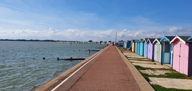
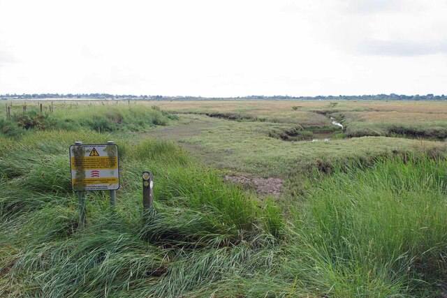
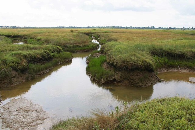
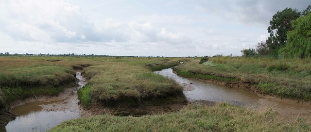
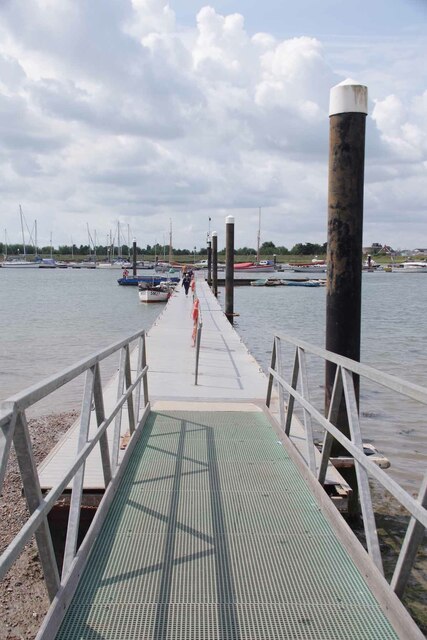
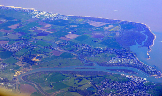
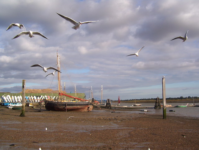
Brightlingsea Creek is a picturesque waterway located in Essex, England. It is a tidal creek that flows into the North Sea, forming part of the Colne Estuary. The creek stretches for approximately 2.5 kilometers and is surrounded by beautiful marshes and mudflats, making it a haven for wildlife and a popular destination for nature lovers.

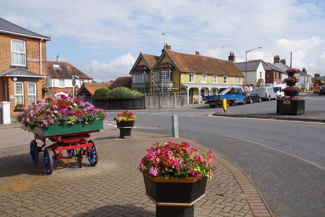
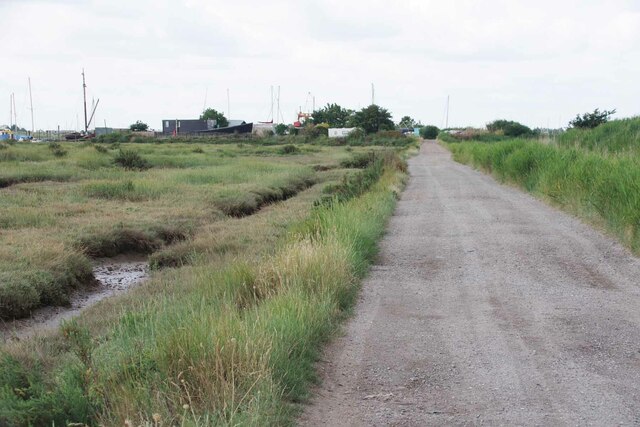
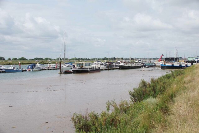
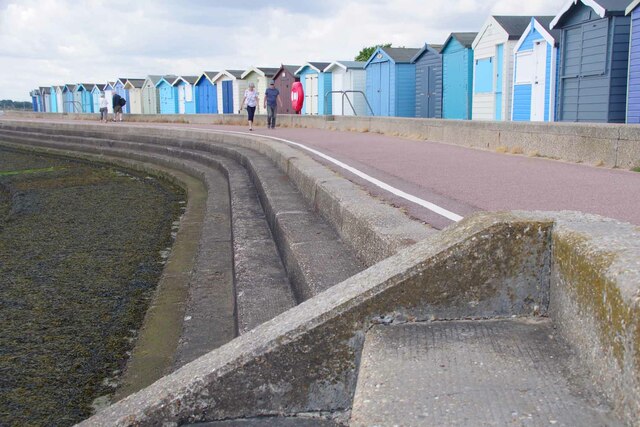
The creek is situated near the charming coastal town of Brightlingsea, which adds to its appeal. It is navigable by small boats and yachts, attracting boating enthusiasts who enjoy the tranquil waters and scenic surroundings. The creek is also used for recreational activities such as kayaking, paddleboarding, and fishing.

The area surrounding Brightlingsea Creek is designated as a Site of Special Scientific Interest (SSSI) due to its rich biodiversity. It supports a diverse range of plant and animal species, including wading birds, seals, and various types of fish. The mudflats are home to unique marine life and provide an important feeding ground for migratory birds.

The creek offers stunning views of the surrounding landscape, with marshes and reed beds creating a serene and picturesque setting. It is a popular spot for birdwatching and photography, as the changing tides and seasons bring different species and colors to the area.

Brightlingsea Creek is not only a natural treasure but also a significant economic asset to the local community. It attracts tourists from near and far, who contribute to the local economy through spending in accommodation, restaurants, and other businesses in the area. Whether for leisure, exploration, or appreciation of nature's beauty, Brightlingsea Creek offers a captivating experience for all who visit.

If you have any feedback on the listing, please let us know in the comments section below.

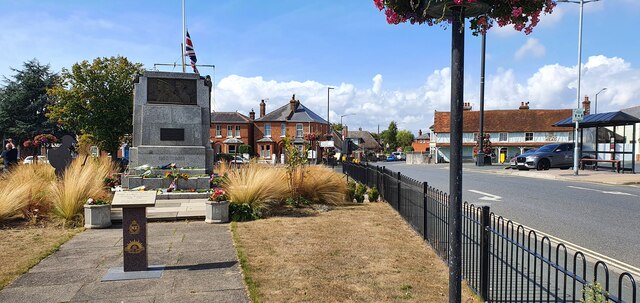
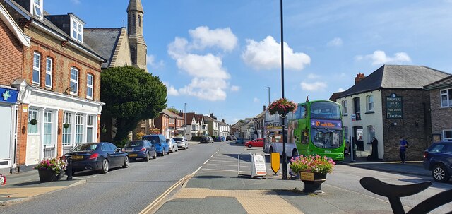
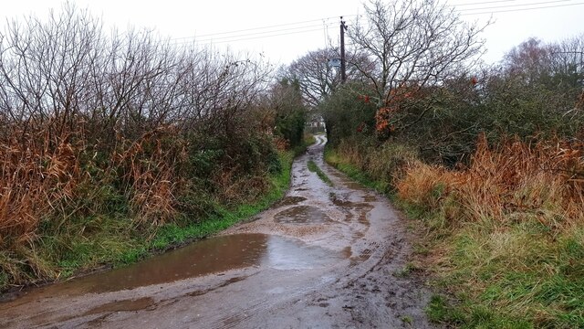
Brightlingsea Creek Images

Images are sourced within 2km of 51.804603/1.0398851 or Grid Reference TM0916. Thanks to Geograph Open Source API. All images are credited.

Brightlingsea war memorial
Brightlingsea High Street
The former Royal Hotel on Francis Street
Western promenade, Brightlingsea
Muddy path to Brightlingsea A path leading from Brightlingsea Creek to the town.
Muddy path to Brightlingsea
A path leading from Brightlingsea Creek to the town.
Flowers and Victoria Place Looking towards the King's Head undergoing repairs
Flowers and Victoria Place
Looking towards the King's Head undergoing repairs
Ordinary Bicycle and Electric Bike An artistic bicycle rack masquerading as a penny farthing. In the background is <a href="https://www.geograph.org.uk/photo/7542883">TM0816 : Field Poppies and War memorial</a>.
Ordinary Bicycle and Electric Bike
An artistic bicycle rack masquerading as a penny farthing. In the background is TM0816 : Field Poppies and War memorial.
Field Poppies and War memorial In the memorial garden there is a marker recognising the ANZACS who were stationed in Brightlingsea 1916-18. It appears the current management scheme is to keep the grass well cropped on the west side and more wild on the east.
Field Poppies and War memorial
In the memorial garden there is a marker recognising the ANZACS who were stationed in Brightlingsea 1916-18. It appears the current management scheme is to keep the grass well cropped on the west side and more wild on the east.
Dead End Path Judging by the well worn trail most people seem to think the path runs along the sea wall to the left. However the right of way  follows the right hand side of the "fleet" that is in front of the camera unless you intend to get very muddy see  <a href="https://www.geograph.org.uk/photo/7542887">TM0916 : End of the Path</a>
Dead End Path
Judging by the well worn trail most people seem to think the path runs along the sea wall to the left. However the right of way follows the right hand side of the "fleet" that is in front of the camera unless you intend to get very muddy see TM0916 : End of the Path
End of the Path The public right of way passes through the abandoned oyster beds to the right of the channel.
End of the Path
The public right of way passes through the abandoned oyster beds to the right of the channel.
Saltmarsh Panorama Brightlingsea footpath 25 runs along the sea wall to the right.
Saltmarsh Panorama
Brightlingsea footpath 25 runs along the sea wall to the right.
A Brightlingsea Byway This is Brightlingsea Byway 13.
A Brightlingsea Byway
This is Brightlingsea Byway 13.
Moorings in Brightlingsea Creek
Landing Stage for Point Clear and East Mersea During the summer months there is a regular ferry service from here to Mersea via Point Clear.
Landing Stage for Point Clear and East Mersea
During the summer months there is a regular ferry service from here to Mersea via Point Clear.
Brightlingsea Lido First opened in 1932 like most open air pools it fell out of favour and was due to be closed. However a group of locals banded together and the facility was relaunched in 2018.  See <span class="nowrap"><a title="https://historicpools.org.uk/member_pools/brightlingsea-lido/" rel="nofollow ugc noopener" href="https://historicpools.org.uk/member_pools/brightlingsea-lido/">Link</a><img style="margin-left:2px;" alt="External link" title="External link - shift click to open in new window" src="https://s1.geograph.org.uk/img/external.png" width="10" height="10"/></span> for more info.
Brightlingsea Lido
First opened in 1932 like most open air pools it fell out of favour and was due to be closed. However a group of locals banded together and the facility was relaunched in 2018. See LinkExternal link for more info.
Brightlingsea Beach Huts The estate agents in Brightlingsea often advertise huts. Most for more than my house cost thirty years ago!
Brightlingsea Beach Huts
The estate agents in Brightlingsea often advertise huts. Most for more than my house cost thirty years ago!
Brightlingsea and Point Clear Bay from the air With the North Sea coast and part of Clacton in the distance. Viewed from a Prague bound flight from Heathrow.
Brightlingsea and Point Clear Bay from the air
With the North Sea coast and part of Clacton in the distance. Viewed from a Prague bound flight from Heathrow.
Brightlingsea Creek
Brightlingsea Creek
Show me another place!

Brightlingsea Creek is located at Grid Ref: TM0916 (Lat: 51.804603, Lng: 1.0398851)

Administrative County: Essex

District: Tendring

Police Authority: Essex

What 3 Words

///carting.flood.workloads. Near Brightlingsea, Essex

Related Wikis

Cindery Island

Cindery Island is at the mouth of Brightlingsea Creek (off the town of Brightlingsea) on the east coast of England in the county of Essex. == External... ==

Brightlingsea

Brightlingsea () is a coastal town and an electoral ward in the Tendring district of Essex, England. It is situated between Colchester and Clacton-on-Sea...

Battle of Brightlingsea

The Battle of Brightlingsea refers to a series of protests by animal rights supporters held in Brightlingsea, England, between 16 January and 30 October...

Brightlingsea Station

Brighlingsea Naval Base was an installation of the British Royal Navy located at Brightlingsea, Essex, on the East Coast of England. In both wars it was...

Point Clear

Point Clear is a village in the civil parish of St Osyth, south-west of the village of St Osyth and on the other side of St Osyth Creek, a branch of the...

Brightlingsea railway station

Brightlingsea railway station was located in Brightlingsea, Essex. It was on the single track branch line of the Wivenhoe and Brightlingsea Railway which...

Brightlingsea Regent F.C.

Brightlingsea Regent Football Club is an English football club based in Brightlingsea, Essex. Formed by a merger of Brightlingsea United and Regent Park...

Howlands Marsh

Howlands Marsh is a 29.9-hectare (74-acre) nature reserve north-east of St Osyth in Essex. It is managed by the Essex Wildlife Trust. It is part of the...

Nearby Amenities

Located within 500m of 51.804603,1.0398851
The Folly
Place: locality
Source: OS_OpenData_StreetView
Lat/Long: 51.8044618/1.040588
Power: pole
Source: bing
Lat/Long: 51.8012893/1.0445706
The data included in this document is from www.openstreetmap.org. The data is made available under ODbL.

Have you been to Brightlingsea Creek?

Leave your review of Brightlingsea Creek below (or comments, questions and feedback).