East End Green
Downs, Moorland in Essex Tendring
England
East End Green
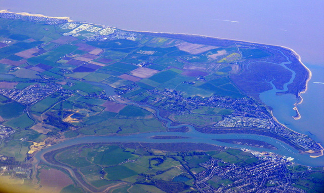
East End Green is a picturesque village located in the county of Essex, England. Situated in the heart of the countryside, it is surrounded by vast expanses of Downs and Moorland, offering residents and visitors alike the opportunity to immerse themselves in the beauty of nature.
The village itself is small and quaint, with a population of around 500 residents. It exudes a sense of tranquility and charm, making it an ideal place for those seeking a peaceful and idyllic lifestyle. The architecture in East End Green is predominantly traditional, with charming cottages and houses that give the village a timeless and homely feel.
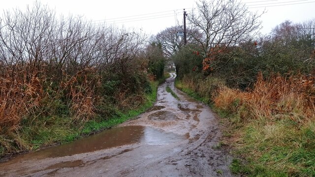
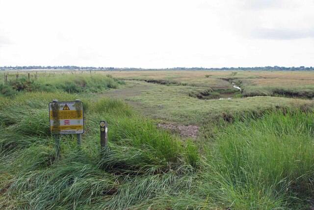
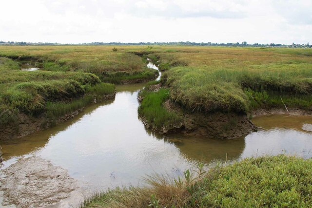
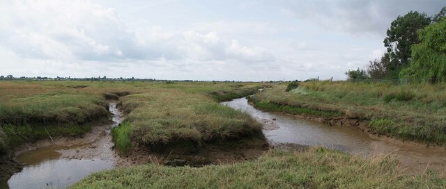
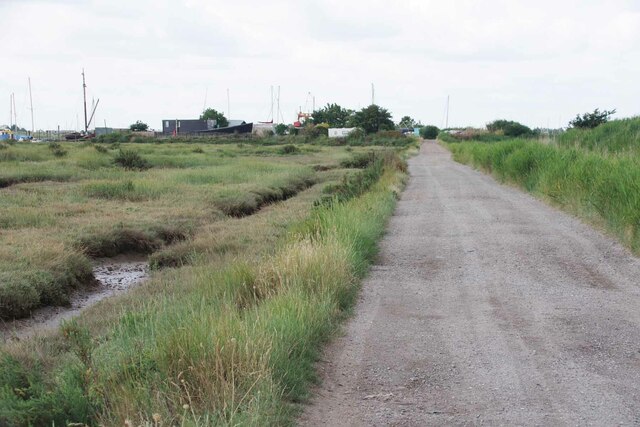
The Downs and Moorland that surround the village are a haven for nature lovers and outdoor enthusiasts. The rolling hills and open spaces provide ample opportunities for hiking, walking, and exploring the natural beauty of the area. Wildflowers dot the landscape, creating a vibrant and colorful scene during the warmer months.
Despite its rural setting, East End Green is well-connected to nearby towns and cities. The village has good road links, with easy access to the A12, which connects to London and other major cities. Additionally, the nearby train stations of Braintree and Witham provide convenient transportation options for those wishing to explore further afield.
In terms of amenities, East End Green boasts a community hall, a village green, and a local pub, where residents can socialize and enjoy a friendly atmosphere. The village also benefits from a primary school, ensuring that families have access to quality education for their children.
Overall, East End Green offers a serene and picturesque setting, with its Downs and Moorland providing a stunning backdrop to village life. With its close-knit community and natural beauty, it is a truly special place to call home.
If you have any feedback on the listing, please let us know in the comments section below.
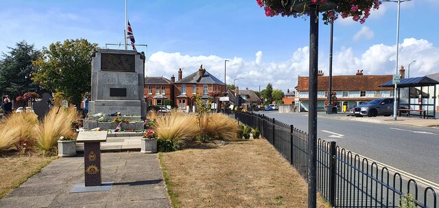
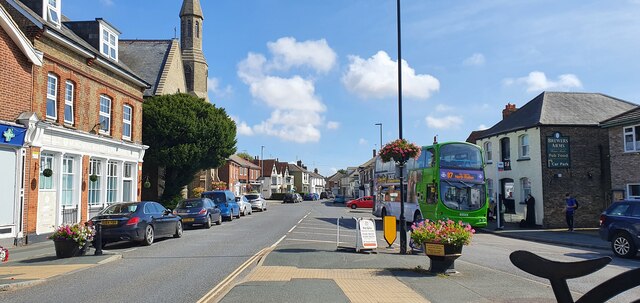
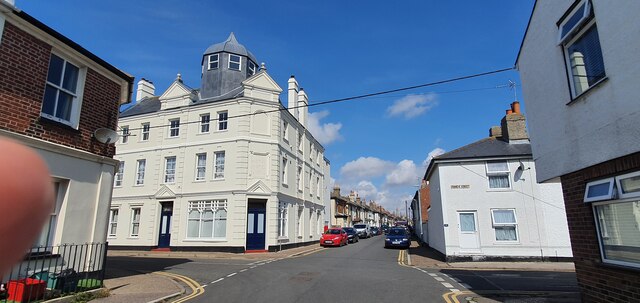
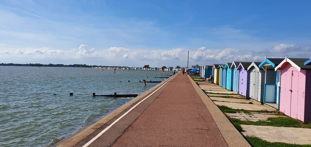
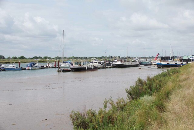
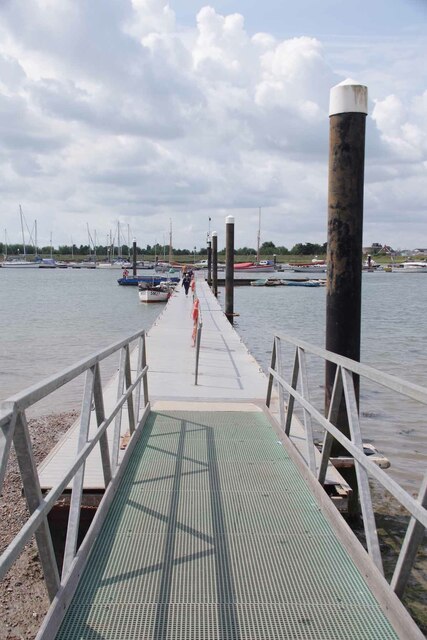
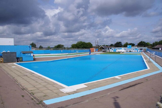
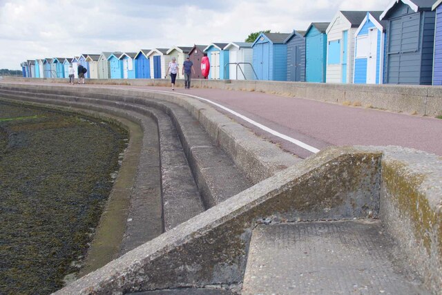
East End Green Images
Images are sourced within 2km of 51.810906/1.0409915 or Grid Reference TM0916. Thanks to Geograph Open Source API. All images are credited.
East End Green is located at Grid Ref: TM0916 (Lat: 51.810906, Lng: 1.0409915)
Administrative County: Essex
District: Tendring
Police Authority: Essex
What 3 Words
///duke.aliens.octagonal. Near Brightlingsea, Essex
Nearby Locations
Related Wikis

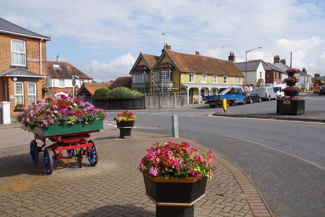
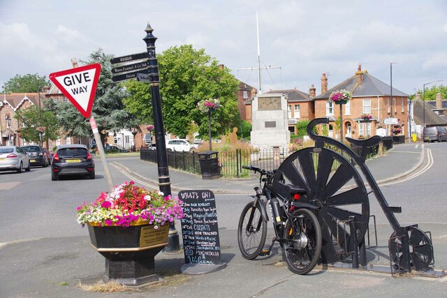
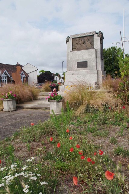
Brightlingsea
Brightlingsea () is a coastal town and an electoral ward in the Tendring district of Essex, England. It is situated between Colchester and Clacton-on-Sea...

Battle of Brightlingsea
The Battle of Brightlingsea refers to a series of protests by animal rights supporters held in Brightlingsea, England, between 16 January and 30 October...

Brightlingsea Station
Brighlingsea Naval Base was an installation of the British Royal Navy located at Brightlingsea, Essex, on the East Coast of England. In both wars it was...

Cindery Island
Cindery Island is at the mouth of Brightlingsea Creek (off the town of Brightlingsea) on the east coast of England in the county of Essex. == External... ==
Brightlingsea Regent F.C.
Brightlingsea Regent Football Club is an English football club based in Brightlingsea, Essex. Formed by a merger of Brightlingsea United and Regent Park...

Brightlingsea railway station
Brightlingsea railway station was located in Brightlingsea, Essex. It was on the single track branch line of the Wivenhoe and Brightlingsea Railway which...

Howlands Marsh
Howlands Marsh is a 29.9-hectare (74-acre) nature reserve north-east of St Osyth in Essex. It is managed by the Essex Wildlife Trust. It is part of the...

Point Clear
Point Clear is a village in the civil parish of St Osyth, south-west of the village of St Osyth and on the other side of St Osyth Creek, a branch of the...
Nearby Amenities
Located within 500m of 51.810906,1.0409915Have you been to East End Green?
Leave your review of East End Green below (or comments, questions and feedback).