Great Witchingham Common
Downs, Moorland in Norfolk Broadland
England
Great Witchingham Common
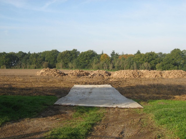
Great Witchingham Common is a diverse and picturesque area located in Norfolk, England. Spanning approximately 250 acres, it is situated between the villages of Great and Little Witchingham. The common is characterized by its varied landscape, incorporating downs, moorland, and grassy fields.
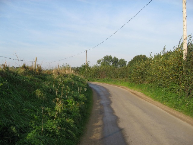
The downs of Great Witchingham Common are gently rolling hills covered in short grass and scattered with wildflowers. This section of the common offers stunning panoramic views of the surrounding countryside. It is a popular spot for walking, picnicking, and enjoying the fresh air.
The moorland area of the common is a unique feature, characterized by its damp, acidic soil and heather-covered terrain. This habitat supports a variety of wildlife, including birds such as skylarks and lapwings, as well as small mammals and insects. Visitors can often observe these species while strolling along the designated footpaths that wind through the moorland.
Great Witchingham Common is also home to a diverse range of plant life, including gorse, bracken, and various species of grasses. This rich vegetation creates a vibrant and colorful landscape throughout the year.
Managed by the Norfolk Wildlife Trust, the common is a designated Site of Special Scientific Interest (SSSI) due to its ecological importance. The trust works to preserve and enhance the natural habitats found within the common, ensuring the continued protection of its unique flora and fauna.
Overall, Great Witchingham Common offers visitors a chance to immerse themselves in the beauty of Norfolk's countryside, with its rolling downs, captivating moorland, and diverse wildlife.
If you have any feedback on the listing, please let us know in the comments section below.
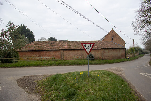
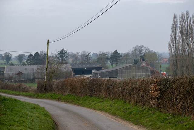
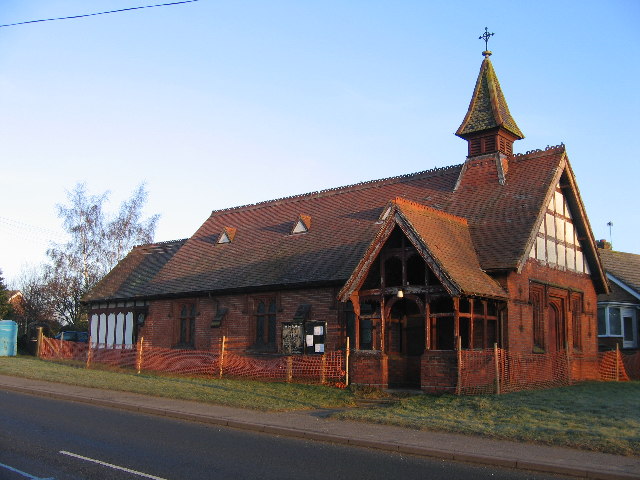
Great Witchingham Common Images
Images are sourced within 2km of 52.717447/1.1027111 or Grid Reference TG0917. Thanks to Geograph Open Source API. All images are credited.


Great Witchingham Common is located at Grid Ref: TG0917 (Lat: 52.717447, Lng: 1.1027111)
Administrative County: Norfolk
District: Broadland
Police Authority: Norfolk
What 3 Words
///engraving.accented.tonsils. Near Reepham, Norfolk
Nearby Locations
Related Wikis

Lenwade
Lenwade is a village in the civil parish of Great Witchingham, Norfolk, situated in the Wensum Valley adjacent to the A1067 road 14 miles (23 km) south...
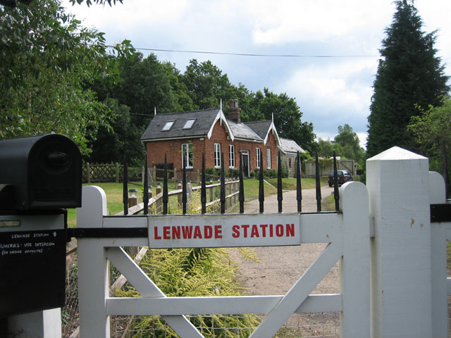
Lenwade railway station
Lenwade railway station was a railway station in North Norfolk, England. It was built by the Lynn and Fakenham Railway Company in 1882 and taken over by...

River Ainse (or Eyn)
The River Ainse (or Eyn) is a small river in the county of Norfolk. It is a tributary of the River Wensum which it merges with at Lenwade. The River Ainse...
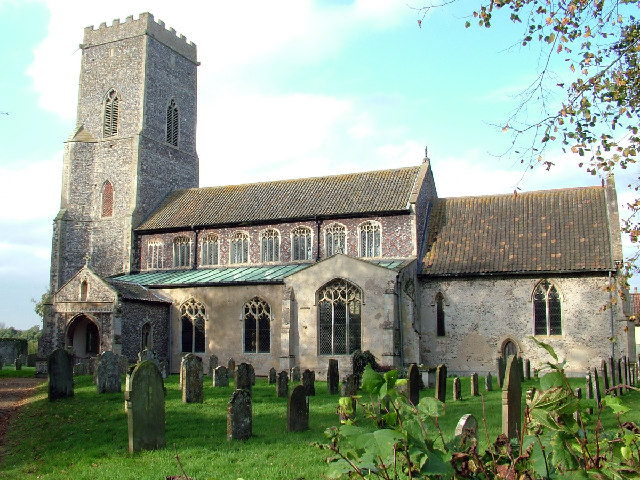
Great Witchingham
Great Witchingham is a village and civil parish in the English county of Norfolk about 11 miles (18 km) north-west of Norwich. It covers an area of 9.12...

Sparham Pools
Sparham Pools is a 12.2-hectare (30-acre) nature reserve south of Sparham in Norfolk. It is leased and managed by the Norfolk Wildlife Trust.These former...

Weston Longville
Weston Longville is a civil parish in the English county of Norfolk, approximately 8 miles (13 km) north-west of Norwich. Its name is derived from the...

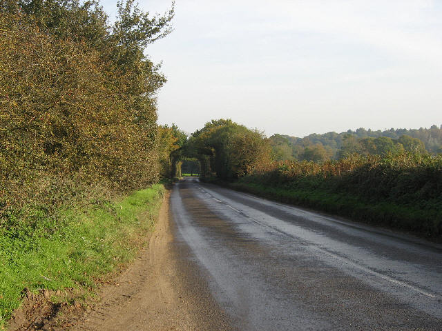
A1067 road
The A1067 is an English A road entirely in the county of Norfolk. It runs from Fakenham Northern By-Pass (A148) to Norwich inner ring road (A147). �...

Morton on the Hill
Morton on the Hill is a small but scattered village and civil parish in the English county of Norfolk, about 8 miles (13 km) north-west of Norwich. The...
Nearby Amenities
Located within 500m of 52.717447,1.1027111Have you been to Great Witchingham Common?
Leave your review of Great Witchingham Common below (or comments, questions and feedback).