Brabourne Downs
Downs, Moorland in Kent Ashford
England
Brabourne Downs
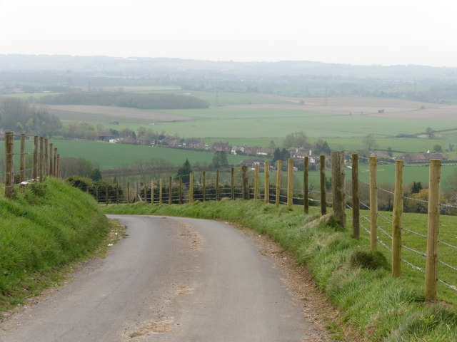
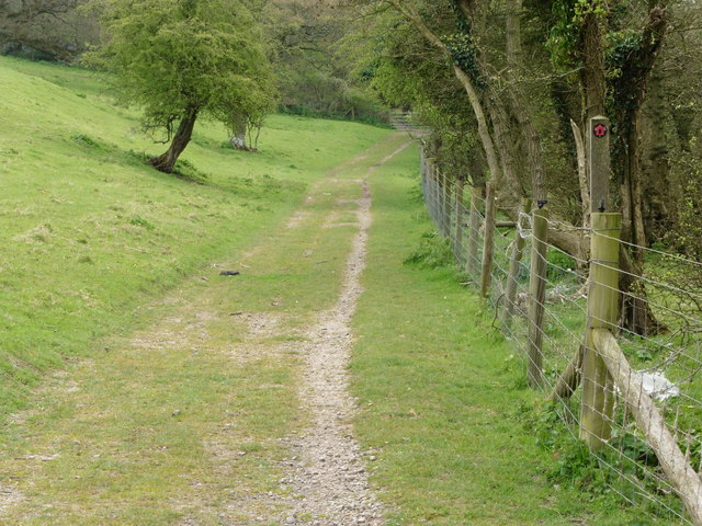
Brabourne Downs is a picturesque area located in Kent, England. It is known for its rolling hills, open moorland, and stunning views of the surrounding countryside. The Downs cover a vast area of land, with plenty of space for outdoor activities such as walking, hiking, and birdwatching.
The landscape of Brabourne Downs is characterized by its chalk hills and valleys, which provide a diverse habitat for a variety of plant and animal species. The area is also home to several rare and endangered species, making it an important conservation site.
Visitors to Brabourne Downs can enjoy peaceful walks along the many trails that crisscross the area, taking in the natural beauty and tranquility of the landscape. There are also opportunities for horseback riding, cycling, and picnicking in the designated areas.
Overall, Brabourne Downs is a beautiful and serene location that offers a welcome escape from the hustle and bustle of everyday life. Whether exploring the moorland, admiring the views, or simply enjoying the peace and quiet, visitors are sure to find something to love about this idyllic spot in Kent.
If you have any feedback on the listing, please let us know in the comments section below.
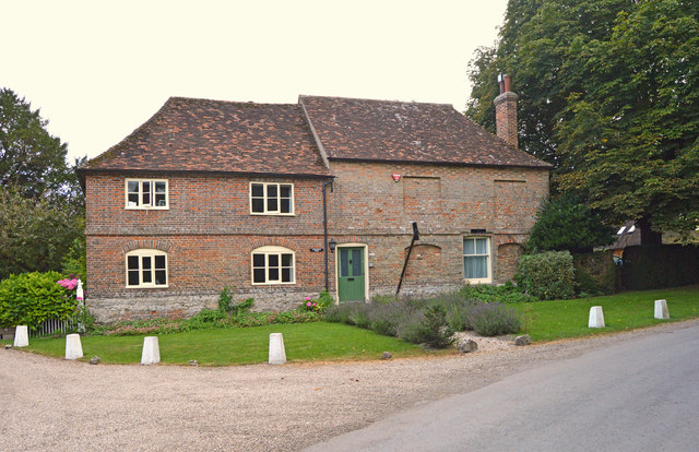
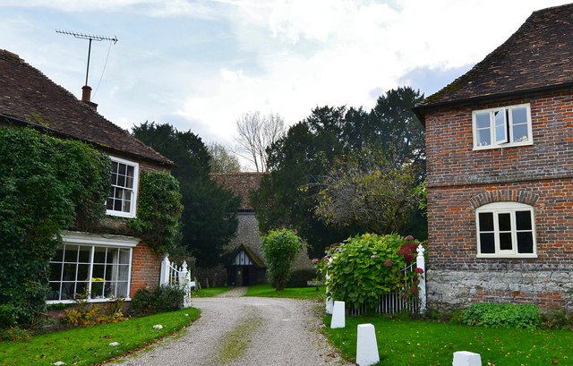
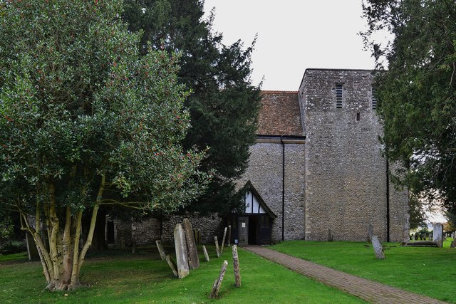
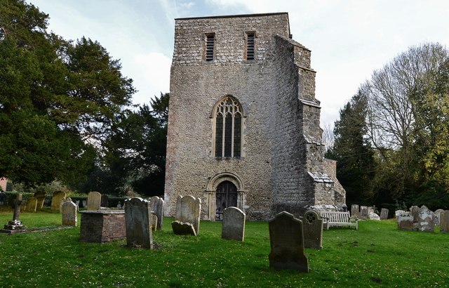
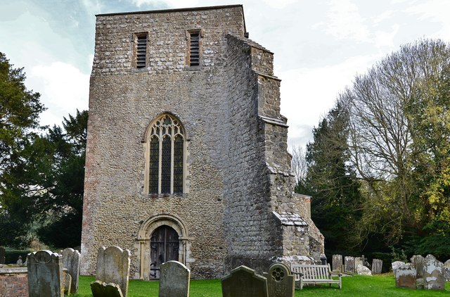
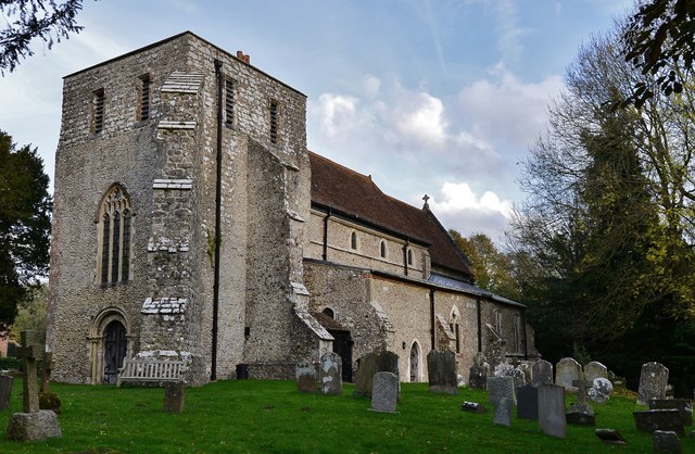
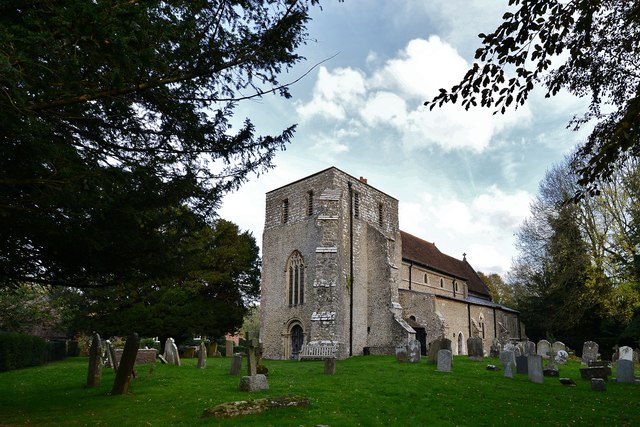
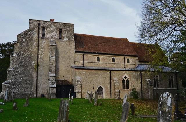
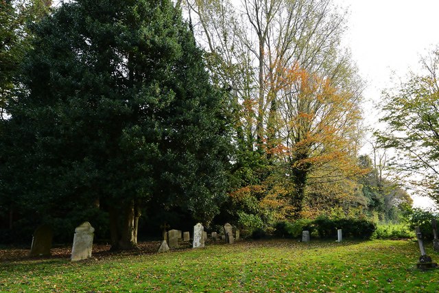
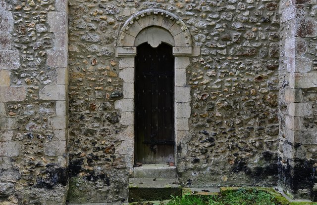
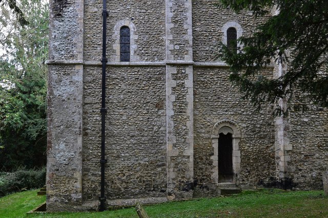
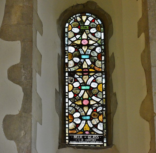
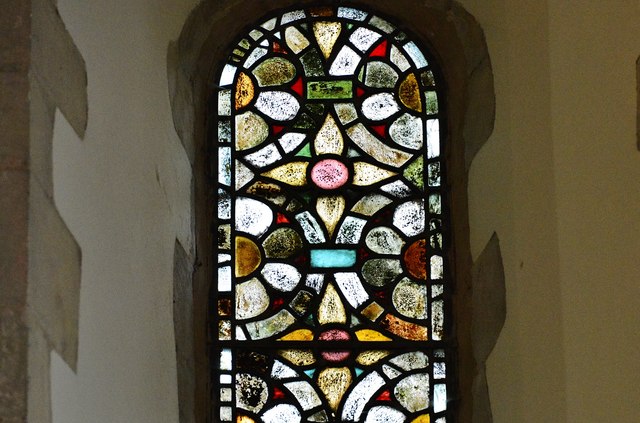
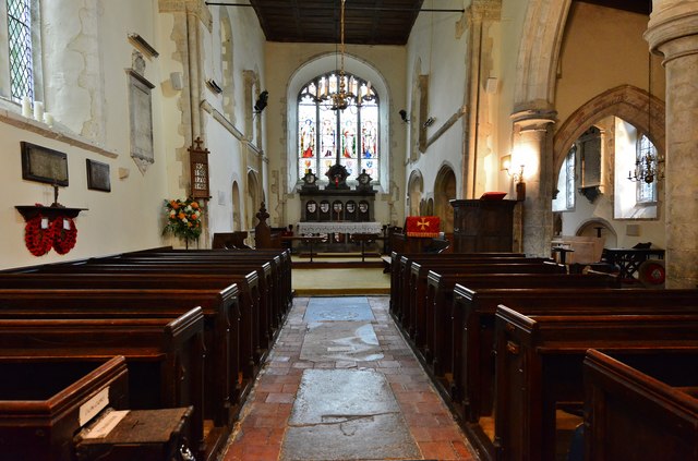
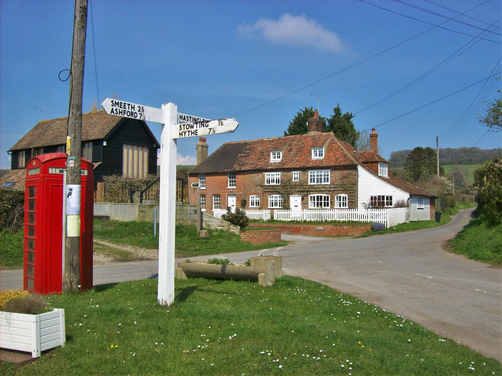
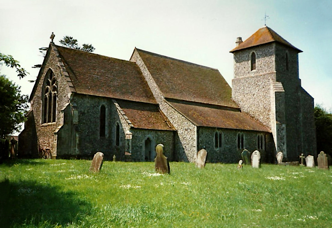
Brabourne Downs Images
Images are sourced within 2km of 51.145579/0.99843197 or Grid Reference TR0942. Thanks to Geograph Open Source API. All images are credited.
Brabourne Downs is located at Grid Ref: TR0942 (Lat: 51.145579, Lng: 0.99843197)
Administrative County: Kent
District: Ashford
Police Authority: Kent
What 3 Words
///door.reddish.rehearsed. Near Wye, Kent
Nearby Locations
Related Wikis
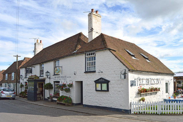
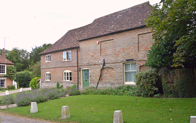
Brabourne
Brabourne is a village and civil parish in the Ashford district of Kent, England. The village centre is 4.5 miles (7.2 km) east of Ashford town centre...

Hastingleigh
Hastingleigh is a small civil parish centred on an escarpment of the Kent Downs. The parish is three miles east of Wye and ten miles south of Canterbury...
Stowting
Stowting is a village and civil parish in the English county of Kent. It is 6 miles (9.7 km) east of Ashford, 7 miles (11 km) north-west of Folkestone...

Elmsted
Elmsted is a village and civil parish in the Folkestone and Hythe District of Kent, England. It is located west of Stone Street (the B2068), the Roman...
Nearby Amenities
Located within 500m of 51.145579,0.99843197Have you been to Brabourne Downs?
Leave your review of Brabourne Downs below (or comments, questions and feedback).