Underwood's Hard
Coastal Marsh, Saltings in Essex Tendring
England
Underwood's Hard
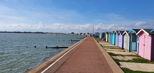
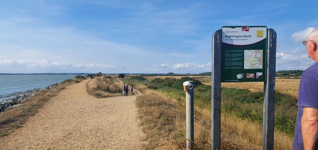
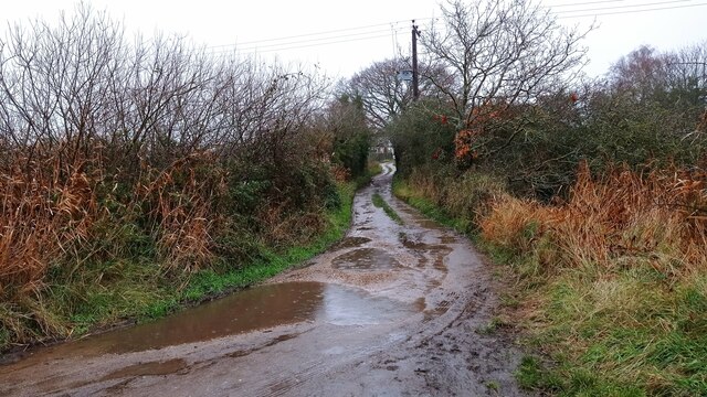
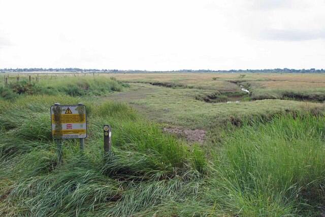
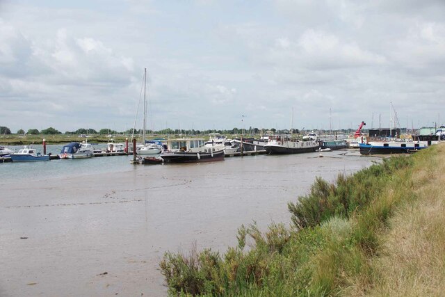
Underwood's Hard is a coastal marsh and saltings area located in Essex, England. It is situated near the town of Maldon, on the eastern coast of the county. The site is known for its unique landscape and rich biodiversity, making it a popular destination for nature enthusiasts and birdwatchers.
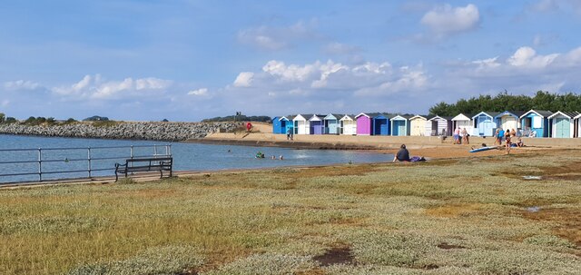
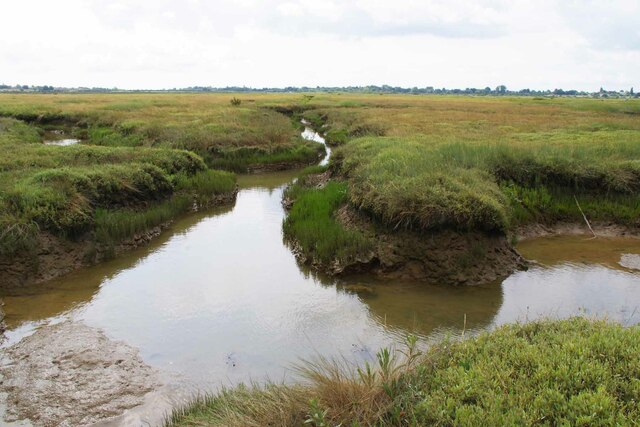
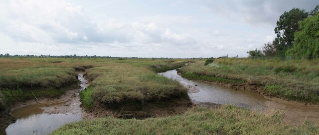
The marshland at Underwood's Hard is characterized by its vast expanse of salt marsh, which is flooded by tidal waters from the nearby Blackwater Estuary. This creates a unique habitat that supports a diverse range of plant and animal species. The area is home to various types of grasses, samphire, and other salt-tolerant plants, which thrive in the brackish conditions.
Birdlife is particularly abundant at Underwood's Hard. The marshes attract a variety of species, including wading birds such as curlews, redshanks, and oystercatchers. During the winter months, large flocks of migratory birds can be seen here, including Brent geese and dunlins.
The site is also of archaeological interest, with evidence of human activity dating back to the Roman period. The remains of a Roman salt-making industry have been discovered, providing insight into the area's historical significance.
Underwood's Hard is a designated Site of Special Scientific Interest (SSSI), recognizing its importance for wildlife conservation. It is managed by a local conservation organization, which works to maintain the delicate balance of the ecosystem and ensure the protection of its diverse flora and fauna.
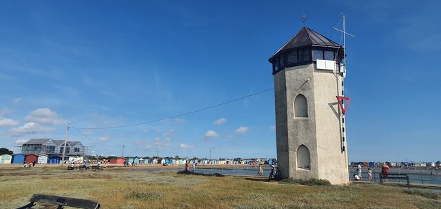
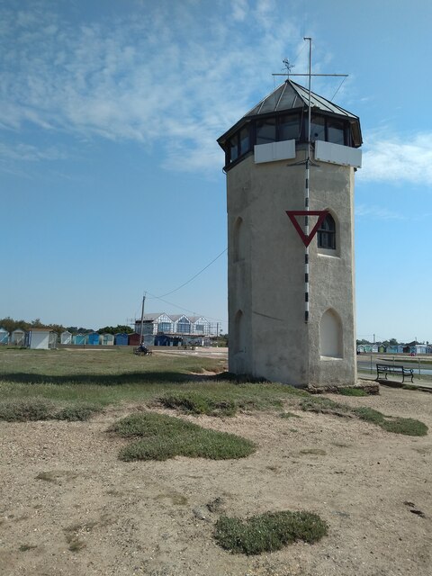
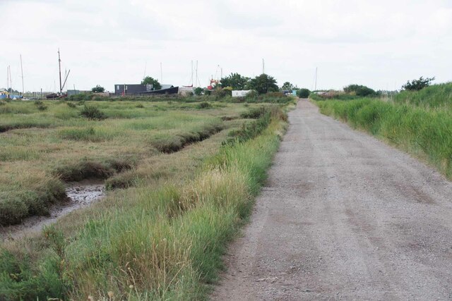
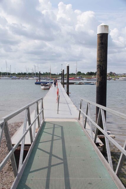
Visitors to Underwood's Hard can enjoy walking trails that meander through the marshland, providing opportunities to observe the unique wildlife and take in the scenic coastal views.
If you have any feedback on the listing, please let us know in the comments section below.
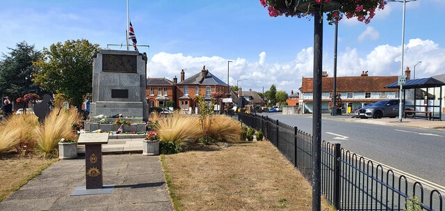
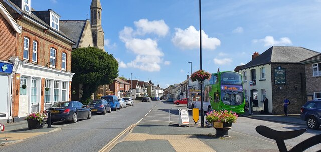
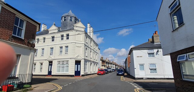
Underwood's Hard Images
Images are sourced within 2km of 51.805417/1.0375897 or Grid Reference TM0916. Thanks to Geograph Open Source API. All images are credited.
Underwood's Hard is located at Grid Ref: TM0916 (Lat: 51.805417, Lng: 1.0375897)
Administrative County: Essex
District: Tendring
Police Authority: Essex
What 3 Words
///bitter.cape.gums. Near Brightlingsea, Essex
Nearby Locations
Related Wikis

Cindery Island
Cindery Island is at the mouth of Brightlingsea Creek (off the town of Brightlingsea) on the east coast of England in the county of Essex. == External... ==

Brightlingsea
Brightlingsea () is a coastal town and an electoral ward in the Tendring district of Essex, England. It is situated between Colchester and Clacton-on-Sea...

Battle of Brightlingsea
The Battle of Brightlingsea refers to a series of protests by animal rights supporters held in Brightlingsea, England, between 16 January and 30 October...

Brightlingsea Station
Brighlingsea Naval Base was an installation of the British Royal Navy located at Brightlingsea, Essex, on the East Coast of England. In both wars it was...

Brightlingsea railway station
Brightlingsea railway station was located in Brightlingsea, Essex. It was on the single track branch line of the Wivenhoe and Brightlingsea Railway which...
Brightlingsea Regent F.C.
Brightlingsea Regent Football Club is an English football club based in Brightlingsea, Essex. Formed by a merger of Brightlingsea United and Regent Park...

Point Clear
Point Clear is a village in the civil parish of St Osyth, south-west of the village of St Osyth and on the other side of St Osyth Creek, a branch of the...
River Colne, Essex
The River Colne ( or ) is a small river that runs through Essex, England and passes through Colchester. It is not a tributary of any other river, instead...
Nearby Amenities
Located within 500m of 51.805417,1.0375897Have you been to Underwood's Hard?
Leave your review of Underwood's Hard below (or comments, questions and feedback).