Kelling Hard
Coastal Marsh, Saltings in Norfolk North Norfolk
England
Kelling Hard

Kelling Hard is a coastal marsh and saltings located in Norfolk, England. Situated on the North Norfolk coast, it is a part of the larger Norfolk Coast Area of Outstanding Natural Beauty. The area is characterized by its unique coastal landscape and diverse wildlife.
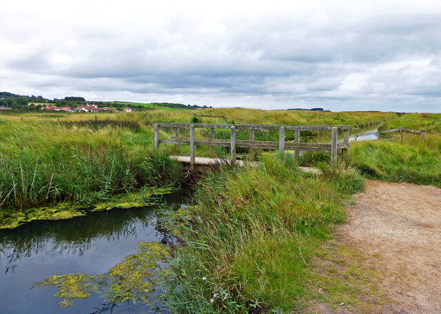
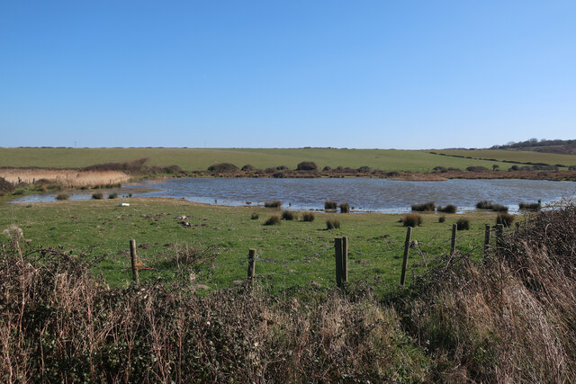
Stretching along the coastline, Kelling Hard consists of a combination of tidal marshes, mudflats, salt marshes, and shingle beaches. The marshes are subject to regular tidal inundation, creating a dynamic habitat for a wide range of plant and animal species. The saltings, which are the salt-tolerant grasslands found on the marshes, provide important feeding grounds for migratory birds.
The site is renowned for its rich biodiversity, attracting birdwatchers and nature enthusiasts. It supports a variety of bird species including waders, wildfowl, and seabirds. Visitors to Kelling Hard can observe the likes of avocets, oystercatchers, terns, and geese, among others. The area is also home to a number of rare and uncommon plant species, adding to its ecological significance.
Kelling Hard offers stunning views of the coastline and the surrounding countryside. It is a popular destination for walkers, who can enjoy the peaceful atmosphere and natural beauty of the area. The marshes are intersected by a network of footpaths and trails, allowing visitors to explore the diverse habitats and observe the local wildlife.
Overall, Kelling Hard is a unique and beautiful coastal marsh and saltings, offering a valuable habitat for wildlife and providing a wonderful opportunity for visitors to connect with nature.
If you have any feedback on the listing, please let us know in the comments section below.
Kelling Hard Images
Images are sourced within 2km of 52.952232/1.1189955 or Grid Reference TG0943. Thanks to Geograph Open Source API. All images are credited.


Kelling Hard is located at Grid Ref: TG0943 (Lat: 52.952232, Lng: 1.1189955)
Administrative County: Norfolk
District: North Norfolk
Police Authority: Norfolk
What 3 Words
///sizzled.enveloped.scam. Near Sheringham, Norfolk
Nearby Locations
Related Wikis
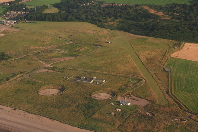
RAF Weybourne
RAF Weybourne was a Second World War anti-aircraft establishment. 'X' Flt, No 1 Anti-Aircraft Co-operation Unit were based at the station between 16 May...
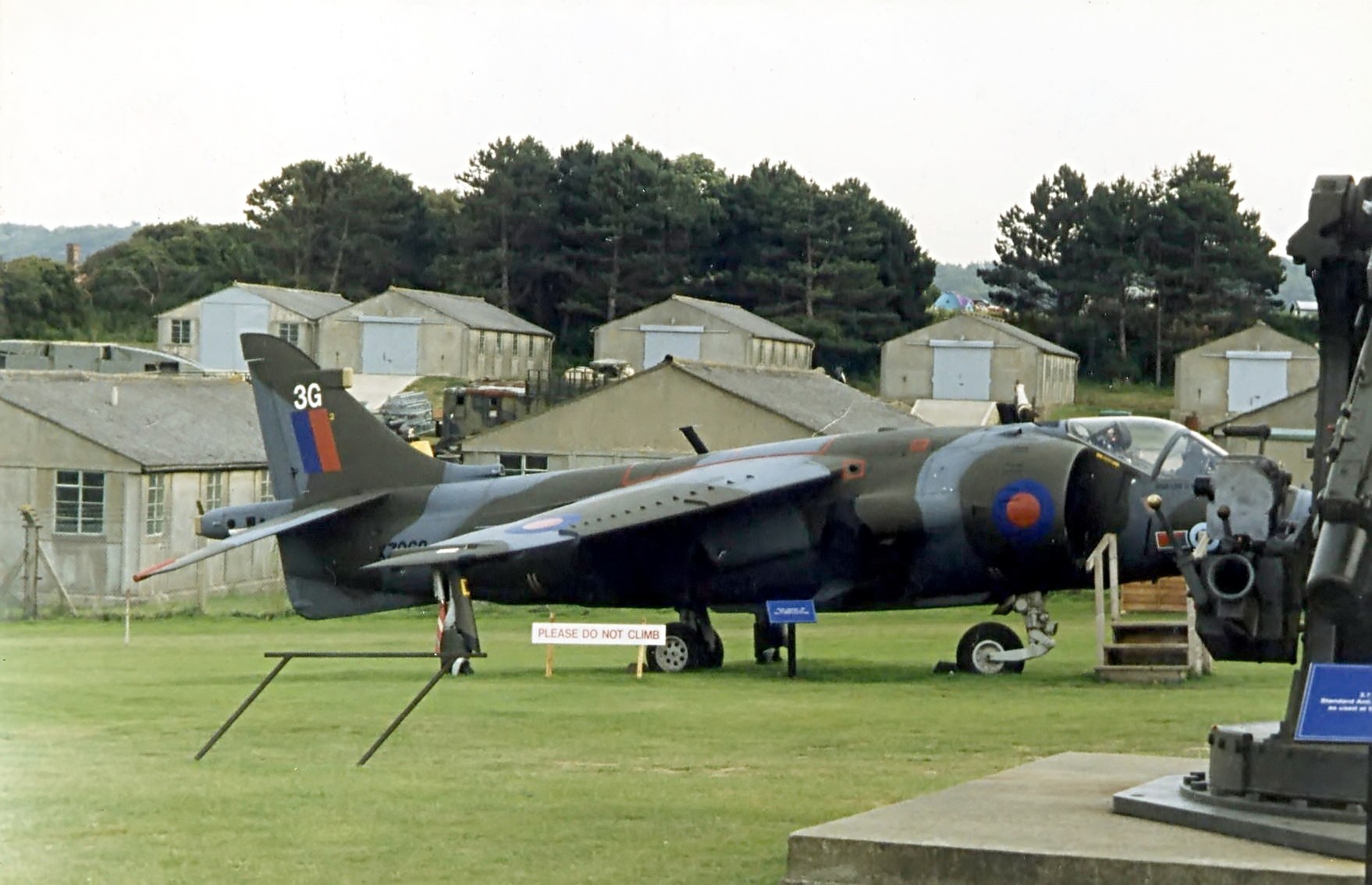
Muckleburgh Collection
The Muckleburgh Collection is a military museum sited on a former military camp at Weybourne, on the North Norfolk coast, England. It was opened to the...

Spring Beck
Spring Beck is a minor watercourse flowing near and through the village of Weybourne in the north of the county of Norfolk. == Course of the beck == This...
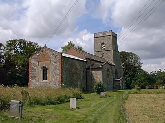
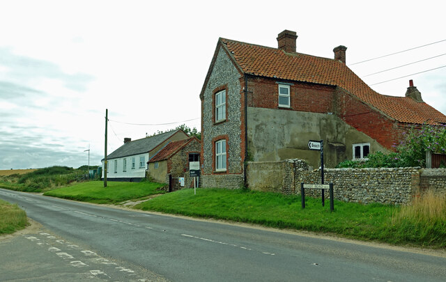
Kelling
Kelling (also known as Low Kelling and as Lower Kelling) is a village and a civil parish in the English county of Norfolk. The village is 10.1 miles...
Nearby Amenities
Located within 500m of 52.952232,1.1189955Have you been to Kelling Hard?
Leave your review of Kelling Hard below (or comments, questions and feedback).