Sandy Point

Coastal Marsh, Saltings in Essex Tendring

England

Sandy Point

The former Royal Hotel on Francis Street
The former Royal Hotel on Francis Street Credit: Helen Steed

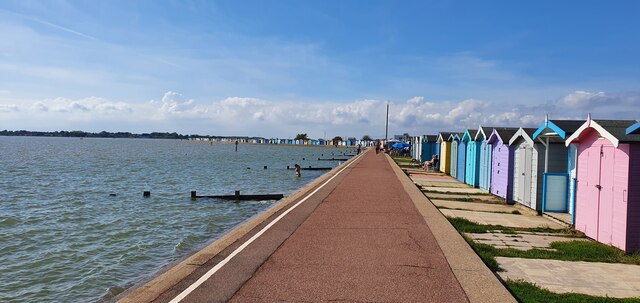
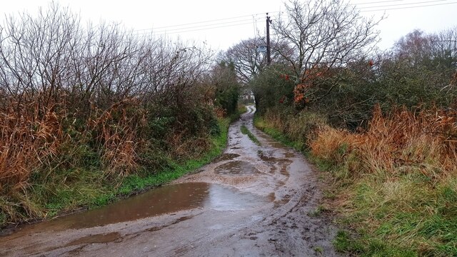
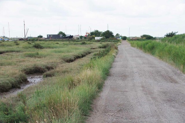
Sandy Point, located in Essex, is a stunning coastal marsh and saltings area that offers a unique and diverse natural environment. With its picturesque landscapes, it attracts nature enthusiasts, birdwatchers, and those seeking peaceful surroundings.

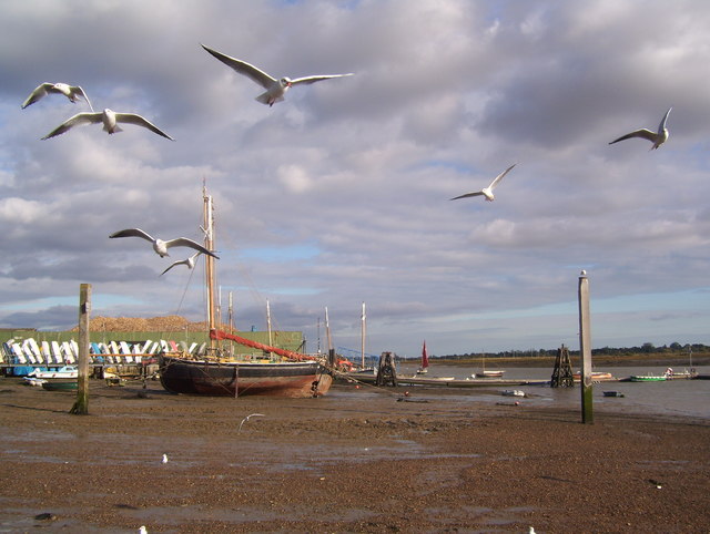
The marshland is situated at the mouth of the River Blackwater, providing an ideal habitat for a wide variety of flora and fauna. The area is characterized by its vast expanses of salt marshes, mudflats, and tidal creeks. These habitats support a rich and diverse ecosystem, attracting numerous bird species, including migratory birds that use Sandy Point as a stopover during their journeys.

The salt marshes and saltings are home to a range of plants, such as sea lavender, samphire, and sea aster. These plants have adapted to saline conditions and thrive in the muddy and sandy soils found in the area. The marshes also provide important breeding grounds for various fish species, crabs, and other marine organisms, contributing to the overall biodiversity of the region.

Sandy Point is renowned for its birdlife, with species such as avocets, redshanks, curlews, and oystercatchers frequently spotted in the area. It is also a designated site of international importance for wintering and breeding waders, attracting birdwatchers from far and wide.

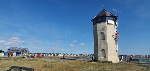
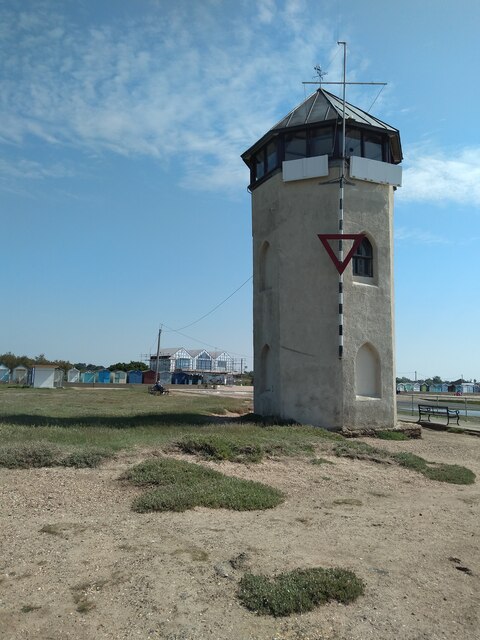
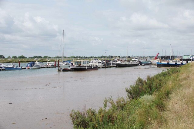
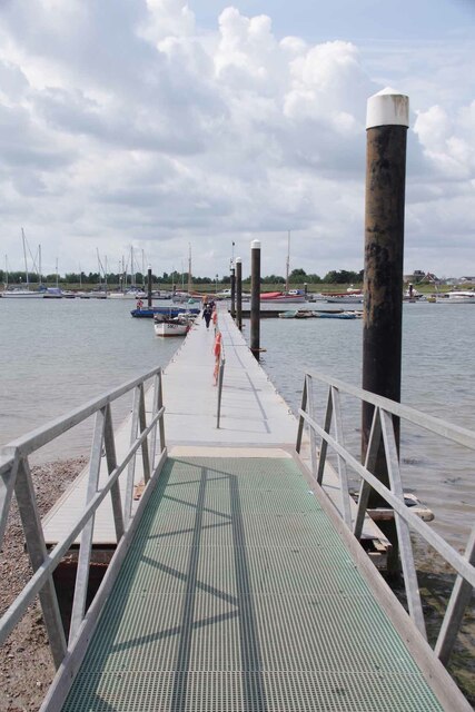
The location offers walking trails and bird hides, allowing visitors to explore and observe the wildlife. Additionally, the stunning views of the estuary and the surrounding coastline make Sandy Point a popular destination for photographers and nature lovers alike.

Overall, Sandy Point is a remarkable coastal marsh and saltings area, providing a haven for both wildlife and visitors who appreciate the beauty and tranquility of the natural world.

If you have any feedback on the listing, please let us know in the comments section below.
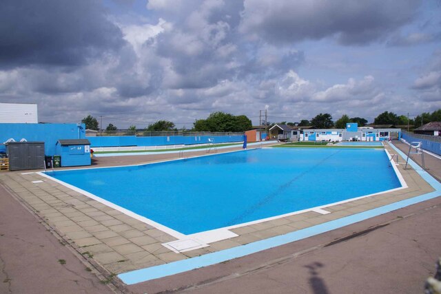
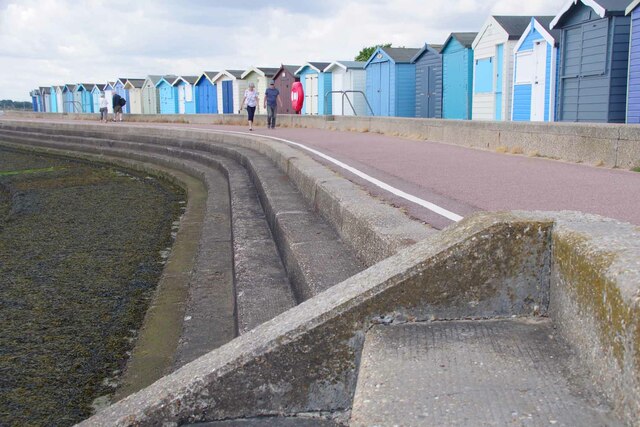
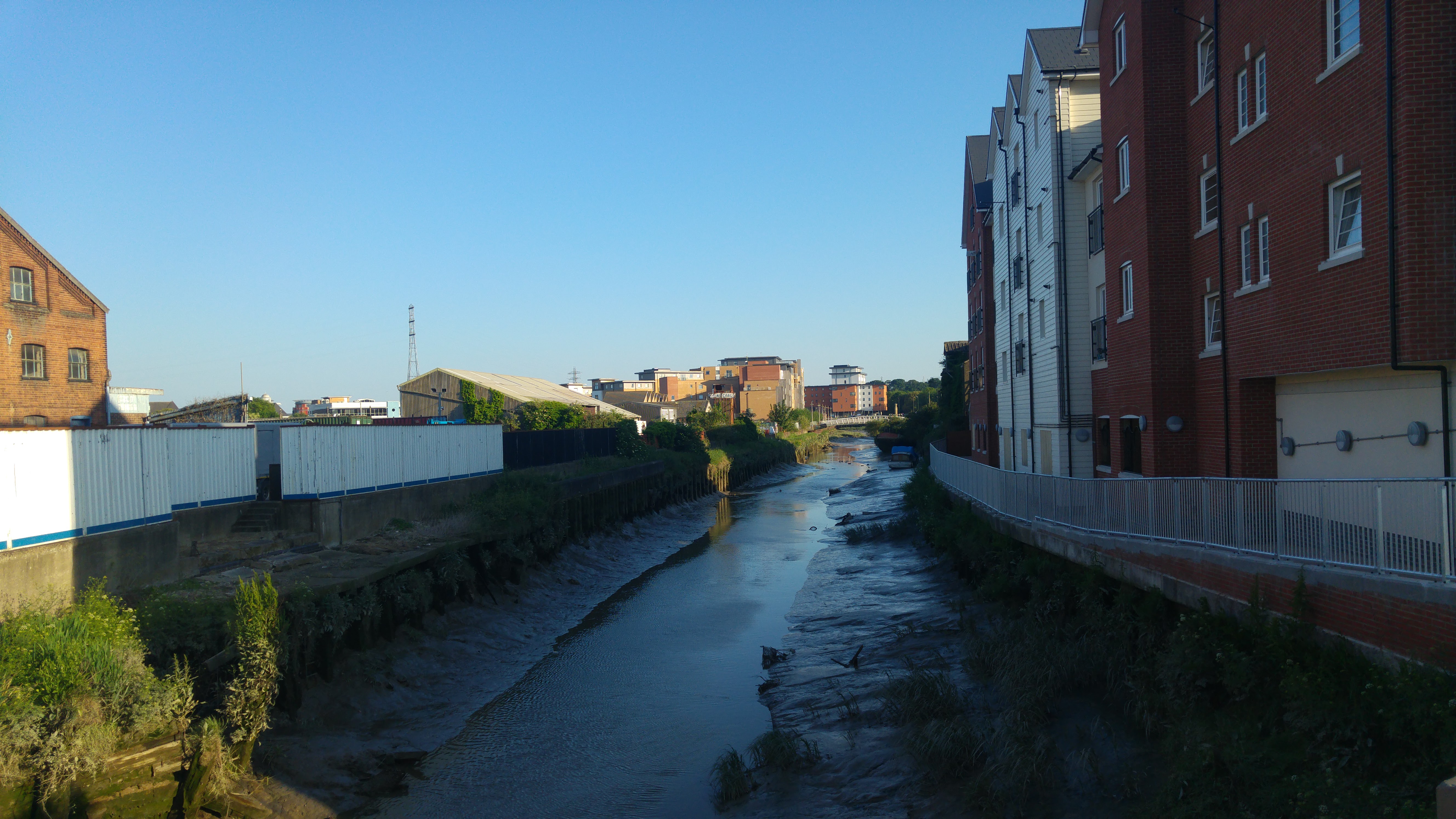
Sandy Point Images

Images are sourced within 2km of 51.791684/1.0264266 or Grid Reference TM0814. Thanks to Geograph Open Source API. All images are credited.

The former Royal Hotel on Francis Street
Western promenade, Brightlingsea
Bateman's tower, Brightlingsea
Bateman's Tower, Brightlingsea Bateman's Tower in Brightlingsea, by the River Colne. A Folly built in 1883.
Bateman's Tower, Brightlingsea
Bateman's Tower in Brightlingsea, by the River Colne. A Folly built in 1883.
Muddy path to Brightlingsea A path leading from Brightlingsea Creek to the town.
Muddy path to Brightlingsea
A path leading from Brightlingsea Creek to the town.
East Mersea Rain Cloud Rain was coming up in pulses from the south west and this black cloud, heavy with rain, crossed the estuary to land on Brightlingsea. The photo I think shows a nice contrast between the sandy beach and the dark cloud divided by the line of gorse.
East Mersea Rain Cloud
Rain was coming up in pulses from the south west and this black cloud, heavy with rain, crossed the estuary to land on Brightlingsea. The photo I think shows a nice contrast between the sandy beach and the dark cloud divided by the line of gorse.
A Brightlingsea Byway This is Brightlingsea Byway 13.
A Brightlingsea Byway
This is Brightlingsea Byway 13.
Moorings in Brightlingsea Creek
Landing Stage for Point Clear and East Mersea During the summer months there is a regular ferry service from here to Mersea via Point Clear.
Landing Stage for Point Clear and East Mersea
During the summer months there is a regular ferry service from here to Mersea via Point Clear.
Brightlingsea Lido First opened in 1932 like most open air pools it fell out of favour and was due to be closed. However a group of locals banded together and the facility was relaunched in 2018.  See <span class="nowrap"><a title="https://historicpools.org.uk/member_pools/brightlingsea-lido/" rel="nofollow ugc noopener" href="https://historicpools.org.uk/member_pools/brightlingsea-lido/">Link</a><img style="margin-left:2px;" alt="External link" title="External link - shift click to open in new window" src="https://s1.geograph.org.uk/img/external.png" width="10" height="10"/></span> for more info.
Brightlingsea Lido
First opened in 1932 like most open air pools it fell out of favour and was due to be closed. However a group of locals banded together and the facility was relaunched in 2018. See LinkExternal link for more info.
Brightlingsea Beach Huts The estate agents in Brightlingsea often advertise huts. Most for more than my house cost thirty years ago!
Brightlingsea Beach Huts
The estate agents in Brightlingsea often advertise huts. Most for more than my house cost thirty years ago!
East Mersea Mudflats Looking across the Colne Estuary towards Colne Point. A few feet from here I found  a WW2 relic in the shape of a spent shell case of a 1/2 inch calibre machine gun round. Most probably it was left over from a gun test of a U.S bomber heading for a raid over Europe. However it didn't look like it had been washed by 48,000 tides. Doubtless it had been buried and had recently surfaced again. I got very muddy boots getting to this point!
East Mersea Mudflats
Looking across the Colne Estuary towards Colne Point. A few feet from here I found a WW2 relic in the shape of a spent shell case of a 1/2 inch calibre machine gun round. Most probably it was left over from a gun test of a U.S bomber heading for a raid over Europe. However it didn't look like it had been washed by 48,000 tides. Doubtless it had been buried and had recently surfaced again. I got very muddy boots getting to this point!
Mudflats East Mersea A typical scene of Mersea-on-Mud. Before it was subsumed into Colchester's administration Mersea's political body was Mersea Urban District council {M.U.D}!
Mudflats East Mersea
A typical scene of Mersea-on-Mud. Before it was subsumed into Colchester's administration Mersea's political body was Mersea Urban District council {M.U.D}!
Towards Sandy Point Mud glorious mud on East Mersea Flats.
Towards Sandy Point
Mud glorious mud on East Mersea Flats.
Gunfleet Construction Barge One of the barges used on the construction of the <a href="https://www.geograph.org.uk/photo/1431210">TM2008 : Gunfleet Sands Wind Farm</a> the yellow pillars are the bases for the turbines.
Gunfleet Construction Barge
One of the barges used on the construction of the TM2008 : Gunfleet Sands Wind Farm the yellow pillars are the bases for the turbines.
Tug & Pontoon for Gunfleet Construction The tug is the Gray Test <span class="nowrap"><a title="http://www.simplonpc.co.uk/Harwich-Tugs.html#anchor187029" rel="nofollow ugc noopener" href="http://www.simplonpc.co.uk/Harwich-Tugs.html#anchor187029">Link</a><img style="margin-left:2px;" alt="External link" title="External link - shift click to open in new window" src="https://s1.geograph.org.uk/img/external.png" width="10" height="10"/></span>
from Felixstowe employed on the construction of <a href="https://www.geograph.org.uk/photo/1431210">TM2008 : Gunfleet Sands Wind Farm</a>.
Tug & Pontoon for Gunfleet Construction
The tug is the Gray Test LinkExternal link from Felixstowe employed on the construction of TM2008 : Gunfleet Sands Wind Farm.
Brightlingsea Creek
Brightlingsea Creek
Mersea Island Mersea Island and Brightlingsea Reach at sunset as seen from Point Clear.
Mersea Island
Mersea Island and Brightlingsea Reach at sunset as seen from Point Clear.
Show me another place!

Sandy Point is located at Grid Ref: TM0814 (Lat: 51.791684, Lng: 1.0264266)

Administrative County: Essex

District: Tendring

Police Authority: Essex

What 3 Words

///dizziness.devoured.mindset. Near Brightlingsea, Essex

Related Wikis

Point Clear

Point Clear is a village in the civil parish of St Osyth, south-west of the village of St Osyth and on the other side of St Osyth Creek, a branch of the...

Cindery Island

Cindery Island is at the mouth of Brightlingsea Creek (off the town of Brightlingsea) on the east coast of England in the county of Essex. == External... ==

River Colne, Essex

The River Colne ( or ) is a small river that runs through Essex, England and passes through Colchester. It is not a tributary of any other river, instead...

Mersea Fort

Mersea Fort, also known as Cudmore Grove Blockhouse, was an artillery fort established by Henry VIII on the East Mersea coast in 1543. It formed part of...

Brightlingsea railway station

Brightlingsea railway station was located in Brightlingsea, Essex. It was on the single track branch line of the Wivenhoe and Brightlingsea Railway which...
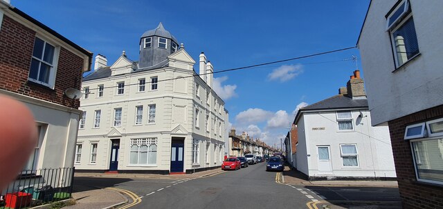
Brightlingsea

Brightlingsea () is a coastal town and an electoral ward in the Tendring district of Essex, England. It is situated between Colchester and Clacton-on-Sea...

Battle of Brightlingsea

The Battle of Brightlingsea refers to a series of protests by animal rights supporters held in Brightlingsea, England, between 16 January and 30 October...

Brightlingsea Station

Brighlingsea Naval Base was an installation of the British Royal Navy located at Brightlingsea, Essex, on the East Coast of England. In both wars it was...

Have you been to Sandy Point?

Leave your review of Sandy Point below (or comments, questions and feedback).