Ray Creek
Sea, Estuary, Creek in Essex Tendring
England
Ray Creek
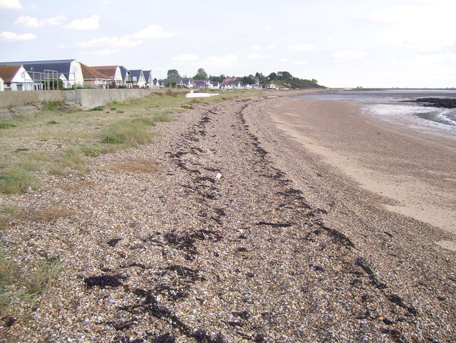
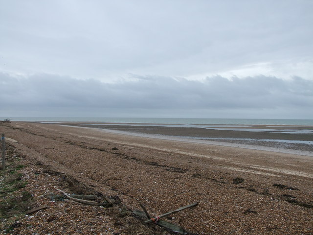
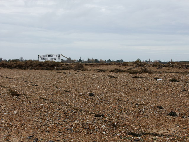
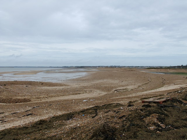
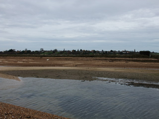
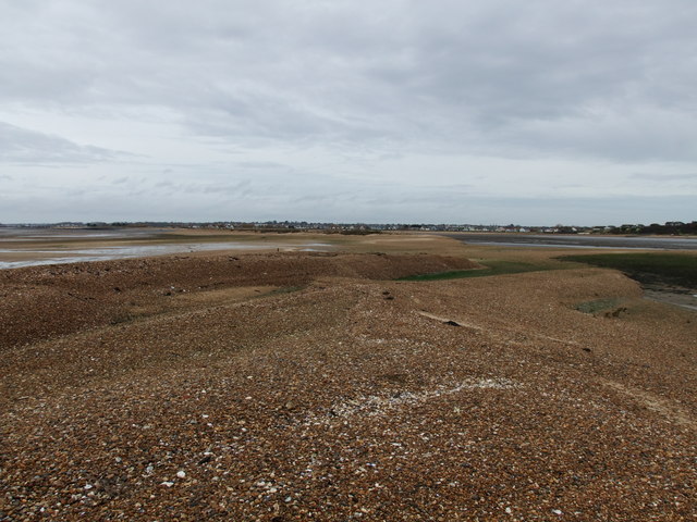
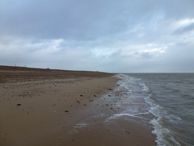
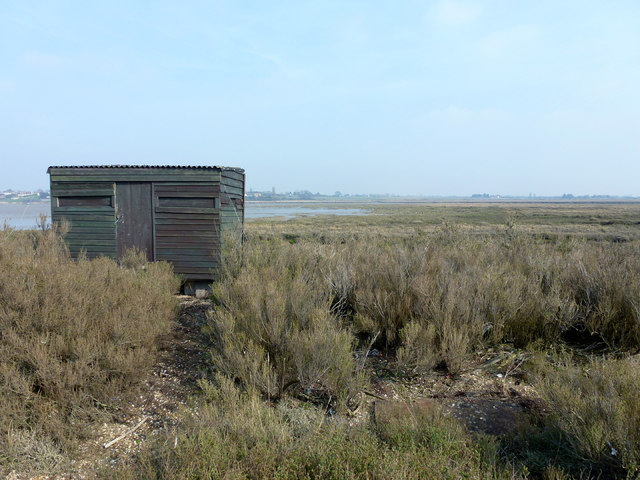
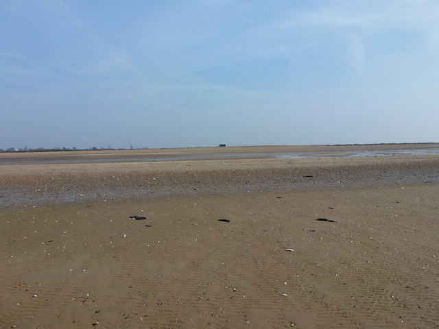
Ray Creek is a small waterway located in Essex, England. It is situated near the coastal town of Rayleigh and flows into the Thames Estuary. The creek stretches for approximately 5 miles, providing a scenic and serene environment.
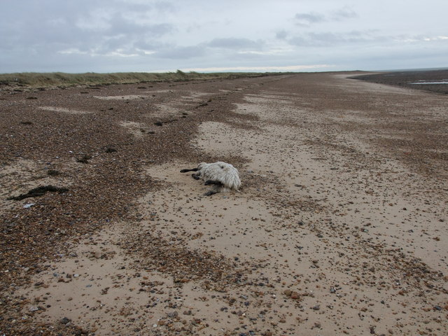
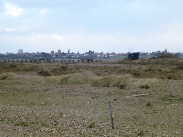
The creek is formed from the confluence of several smaller streams that originate from the nearby Rayleigh Hills. As it meanders through the countryside, it creates a diverse ecosystem, attracting a variety of wildlife and plant species. The surrounding marshlands and mudflats serve as important habitats for birds, such as herons, curlews, and waders.
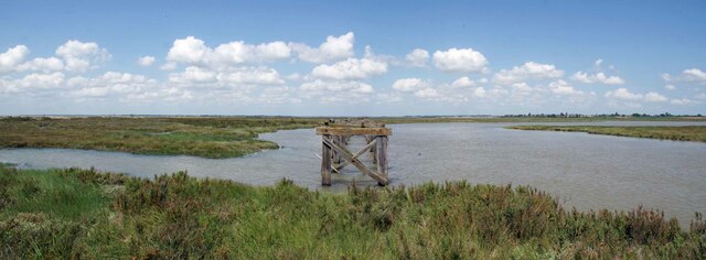
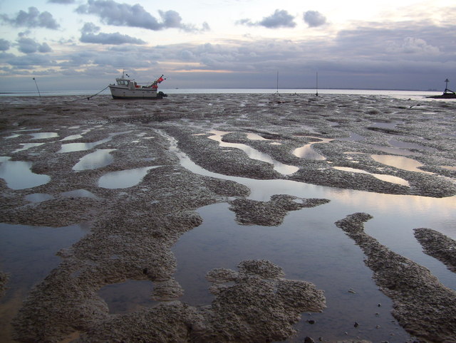
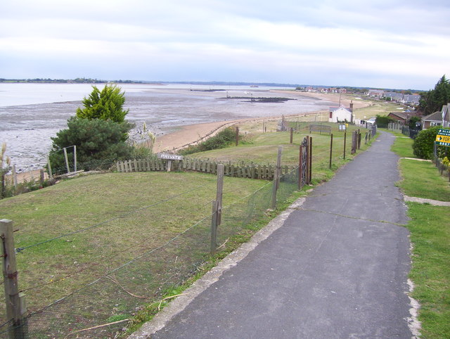
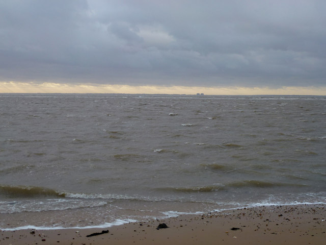
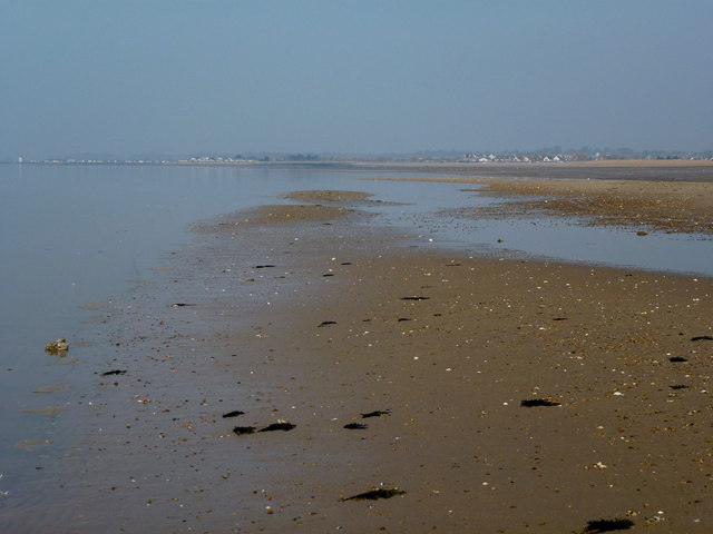
One of the notable features of Ray Creek is its tidal nature. The water level fluctuates with the rise and fall of the tides, creating a dynamic environment. At high tide, the creek is navigable for small boats, providing opportunities for leisure activities like boating and fishing.
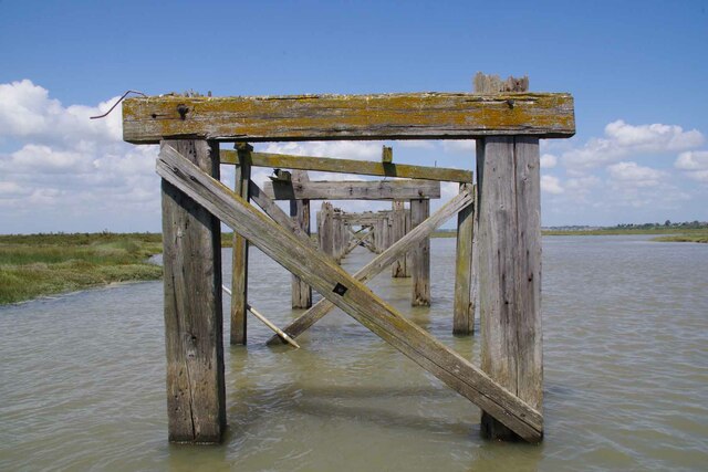
Ray Creek also holds historical significance. It was once used as a transportation route during the Roman period, connecting the local settlements to the Thames Estuary. Today, remnants of the past can still be seen, such as the ruins of a Roman bridge that once spanned the creek.
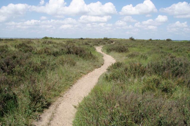
The creek is surrounded by picturesque countryside and offers stunning views of the estuary. It is a popular spot for walkers and nature enthusiasts, with several footpaths and trails running alongside its banks. Visitors can enjoy the tranquil atmosphere while observing the diverse flora and fauna that call Ray Creek their home.
Overall, Ray Creek in Essex is a charming waterway that combines natural beauty, historical significance, and recreational opportunities. It provides a peaceful escape from the bustling city life and offers a glimpse into the region's rich natural and cultural heritage.
If you have any feedback on the listing, please let us know in the comments section below.
Ray Creek Images
Images are sourced within 2km of 51.782892/1.0388016 or Grid Reference TM0913. Thanks to Geograph Open Source API. All images are credited.
Ray Creek is located at Grid Ref: TM0913 (Lat: 51.782892, Lng: 1.0388016)
Administrative County: Essex
District: Tendring
Police Authority: Essex
What 3 Words
///rotate.beaker.unlocking. Near Brightlingsea, Essex
Nearby Locations
Related Wikis

Point Clear
Point Clear is a village in the civil parish of St Osyth, south-west of the village of St Osyth and on the other side of St Osyth Creek, a branch of the...

Lee-over-Sands
Lee-over-Sands is a small coastal hamlet in the civil parish of St Osyth, in the Tendring district of Essex, England. It is located close to the mouth...

Colne Point
Colne Point is a 276.4-hectare (683-acre) nature reserve south-west of St Osyth in Essex. It is managed by the Essex Wildlife Trust. It is part of the...

Cindery Island
Cindery Island is at the mouth of Brightlingsea Creek (off the town of Brightlingsea) on the east coast of England in the county of Essex. == External... ==
River Colne, Essex
The River Colne ( or ) is a small river that runs through Essex, England and passes through Colchester. It is not a tributary of any other river, instead...

Mersea Fort
Mersea Fort, also known as Cudmore Grove Blockhouse, was an artillery fort established by Henry VIII on the East Mersea coast in 1543. It formed part of...

Brightlingsea
Brightlingsea () is a coastal town and an electoral ward in the Tendring district of Essex, England. It is situated between Colchester and Clacton-on-Sea...

Battle of Brightlingsea
The Battle of Brightlingsea refers to a series of protests by animal rights supporters held in Brightlingsea, England, between 16 January and 30 October...
Have you been to Ray Creek?
Leave your review of Ray Creek below (or comments, questions and feedback).