Bingley Island

Island in Kent Canterbury

England

Bingley Island

Canterbury Cathedral The cathedral entrance, right in the city centre taken from the southwest. The cathedral's central 'Bell Harry Tower' (250' high) is on the right, dating from c.1500AD.
Canterbury Cathedral Credit: Pam Brophy

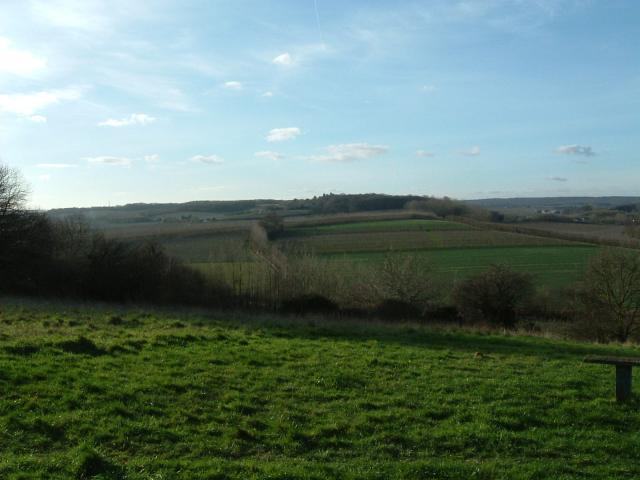
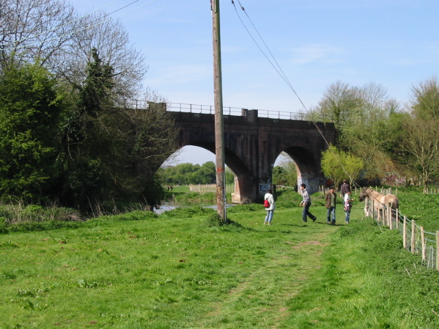
Bingley Island, located in Kent, England, is a small, privately-owned island situated on the River Medway. With an area of approximately 7.5 acres, the island is a picturesque and tranquil piece of land surrounded by lush greenery and the flowing river.

Access to Bingley Island is primarily by boat, with a small jetty available for mooring. The island is known for its beautiful landscape, featuring a mix of woodland, meadows, and gardens, making it a haven for nature lovers and birdwatchers. The diverse flora and fauna found on the island make it an ideal habitat for various bird species, including kingfishers and herons.

The island is also home to a charming, traditional cottage, which serves as the main residence for the island's owner. The cottage dates back to the 18th century and adds to the island's historical appeal.

Bingley Island offers a peaceful retreat away from the hustle and bustle of everyday life. It provides an opportunity for visitors to immerse themselves in nature, take scenic walks, and enjoy picnics in the tranquil surroundings. The island's natural beauty and seclusion make it a popular destination for those seeking a peaceful getaway or a unique venue for special events, such as weddings or private parties.

Overall, Bingley Island is a hidden gem in Kent, offering a slice of paradise for nature enthusiasts and those seeking a peaceful retreat in a stunning riverside setting.

If you have any feedback on the listing, please let us know in the comments section below.

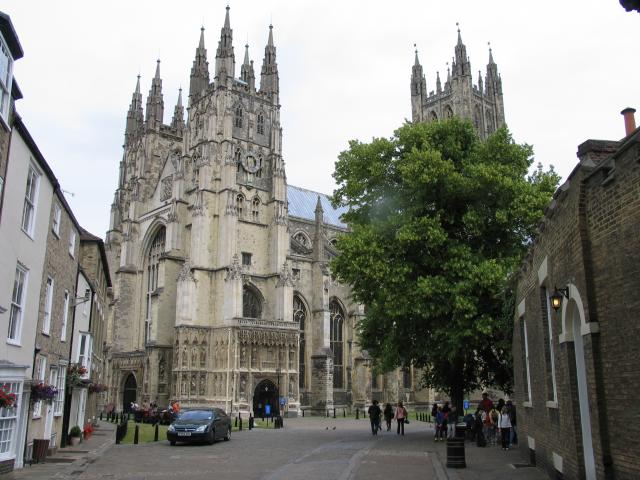
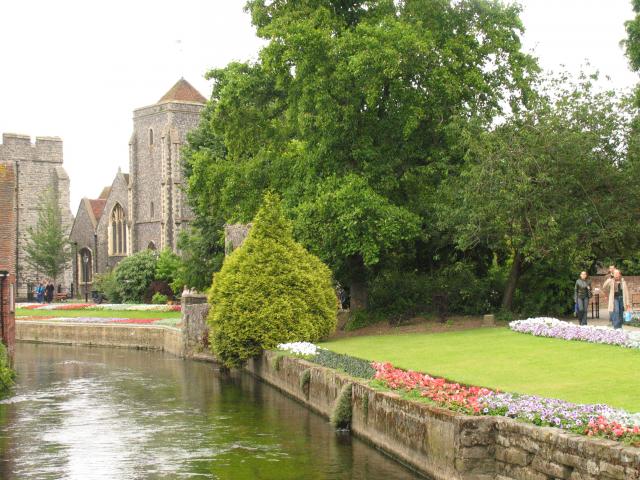
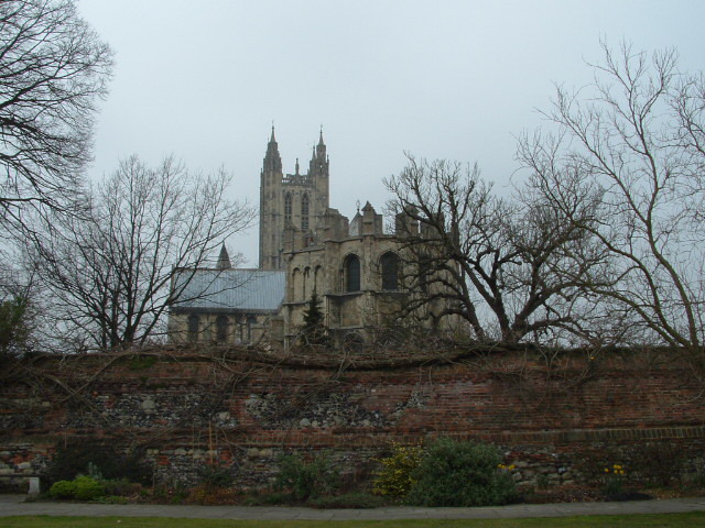
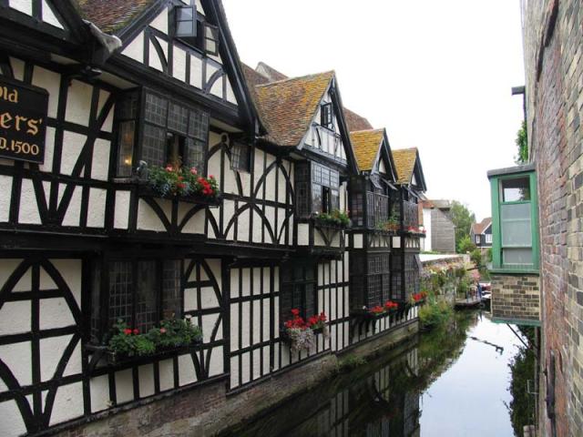
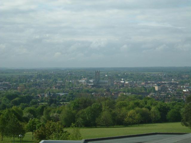
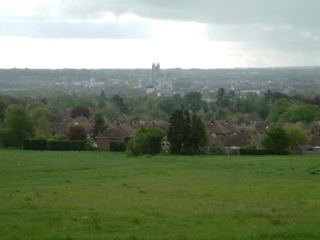
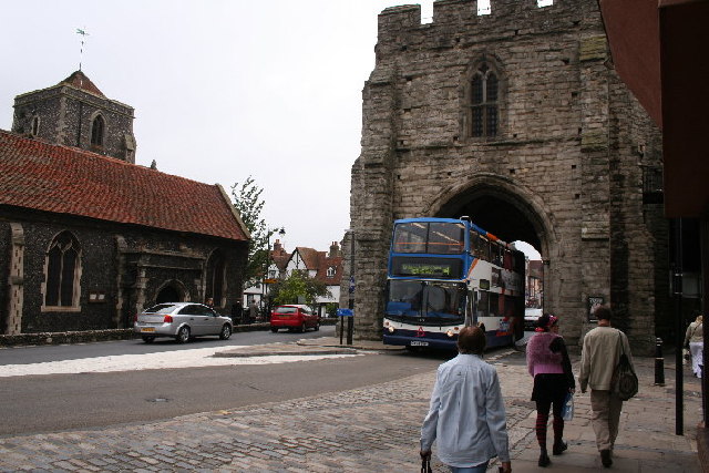
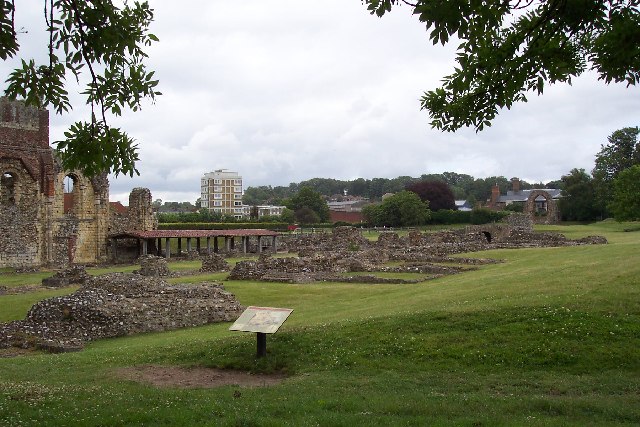
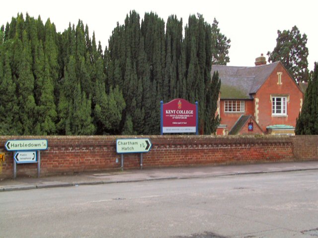
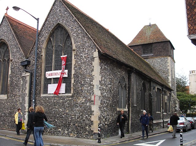
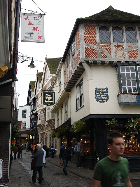
Bingley Island Images

Images are sourced within 2km of 51.276698/1.070366 or Grid Reference TR1457. Thanks to Geograph Open Source API. All images are credited.

Canterbury Cathedral The cathedral entrance, right in the city centre taken from the southwest. The cathedral's central 'Bell Harry Tower' (250' high) is on the right, dating from c.1500AD.
Canterbury Cathedral
The cathedral entrance, right in the city centre taken from the southwest. The cathedral's central 'Bell Harry Tower' (250' high) is on the right, dating from c.1500AD.
City Gate seen beyond the Church, from the River: Canterbury Situated in the southern part of the grid square.
City Gate seen beyond the Church, from the River: Canterbury
Situated in the southern part of the grid square.
Approach to Canterbury Cathedral 11.00 am, Palm Sunday 2005. Photograph taken from gardens just inside city walls.
Approach to Canterbury Cathedral
11.00 am, Palm Sunday 2005. Photograph taken from gardens just inside city walls.
Canterbury A section of one of the channels of the Great Stour that flows through the centre of the town next to this 1500 building, now an Italian Restaurant. This scene is situated more or less in the centre of the square. This was taken looking more or less north east.
Canterbury
A section of one of the channels of the Great Stour that flows through the centre of the town next to this 1500 building, now an Italian Restaurant. This scene is situated more or less in the centre of the square. This was taken looking more or less north east.
Golden Hill The view from the National Trust owned 'Golden Hill'
Golden Hill
The view from the National Trust owned 'Golden Hill'
Canterbury View of Canterbury, looking south from the 4th floor of the Templeman Library at the University of Kent.
Canterbury
View of Canterbury, looking south from the 4th floor of the Templeman Library at the University of Kent.
Meadow Road Looking East over Canterbury from Neal's Place.
Meadow Road
Looking East over Canterbury from Neal's Place.
West Gate, Canterbury
Canterbury Bowling Club The club was founded in the reign of Queen Victoria. This is the club's new site, in South Canterbury Road. It boasts two well-kept greens.
Canterbury Bowling Club
The club was founded in the reign of Queen Victoria. This is the club's new site, in South Canterbury Road. It boasts two well-kept greens.
Tipsy One over the eight? No, this door has been cut to accommodate the settlement of this quaint old building over the centuries.
Tipsy
One over the eight? No, this door has been cut to accommodate the settlement of this quaint old building over the centuries.
St Augustine's Abbey, Canterbury, Kent The remains of St Augustine's Abbey in Canterbury. It was founded by St Augustine in about 598AD to mark the success of his mission to restore Christianity to England. Many of the Kings of Kent and early Archbishops of Canterbury are buried there. After the Dissolution of the Monasteries Henry VIII converted part of it to a royal palace (left end of picture). The site is now owned by English Heritage.
St Augustine's Abbey, Canterbury, Kent
The remains of St Augustine's Abbey in Canterbury. It was founded by St Augustine in about 598AD to mark the success of his mission to restore Christianity to England. Many of the Kings of Kent and early Archbishops of Canterbury are buried there. After the Dissolution of the Monasteries Henry VIII converted part of it to a royal palace (left end of picture). The site is now owned by English Heritage.
Kent College Infants and Junior School at Kent College, Harbledown, just off the A2050 near Canterbury.
Kent College
Infants and Junior School at Kent College, Harbledown, just off the A2050 near Canterbury.
Canterbury Cathedral Sunset Sunset over Canterbury Cathedral
Canterbury Cathedral Sunset
Sunset over Canterbury Cathedral
St Alphege Lane At its junction with Palace Street. The former church is now used as a local heritage centre.
St Alphege Lane
At its junction with Palace Street. The former church is now used as a local heritage centre.
The Sun Hotel, Sun Street, Canterbury The plaque on the wall reads "Sun Hotel formerly known as The Little Inn made famous by Chas. Dickens in his travels thro' Kent Built 1503" It has been a jeweller's shop for many years. Sun Street runs around the south east side of the Cathedral precinct from the Butter Market into Palace Street.
The Sun Hotel, Sun Street, Canterbury
The plaque on the wall reads "Sun Hotel formerly known as The Little Inn made famous by Chas. Dickens in his travels thro' Kent Built 1503" It has been a jeweller's shop for many years. Sun Street runs around the south east side of the Cathedral precinct from the Butter Market into Palace Street.
St Peter's Church, Canterbury In St Peter's Lane from its junction with St Peter's Street. The pub on the left is the Cricketers.
St Peter's Church, Canterbury
In St Peter's Lane from its junction with St Peter's Street. The pub on the left is the Cricketers.
The Beaney Institute Standing in the High Street, opposite the County Hotel, this extravagantly ornate Victorian building was built at the behest of Dr Beaney, the son of a local labourer who made good, became a doctor of medicine, sailed to Australia and became very rich. The building houses the central library and the Royal museum and art gallery.
The Beaney Institute
Standing in the High Street, opposite the County Hotel, this extravagantly ornate Victorian building was built at the behest of Dr Beaney, the son of a local labourer who made good, became a doctor of medicine, sailed to Australia and became very rich. The building houses the central library and the Royal museum and art gallery.
The Mint Yard Gate, Kings School, Canterbury Housed in several buildings around the west and north of the cathedral precinct, this is the main entrance to the school, one of the oldest in the country.
The Mint Yard Gate, Kings School, Canterbury
Housed in several buildings around the west and north of the cathedral precinct, this is the main entrance to the school, one of the oldest in the country.
Show me another place!

Bingley Island is located at Grid Ref: TR1457 (Lat: 51.276698, Lng: 1.070366)

Administrative County: Kent

District: Canterbury

Police Authority: Kent

What 3 Words

///nerve.scar.coffee. Near Canterbury, Kent

Nearby Locations

Bingley Island Canterbury

Related Wikis

Whitehall Dyke

Whitehall Dyke is a tributary of the Great Stour river in Kent, England. The stream runs from its source near Harbledown, 5.6 kilometres, to the Great...

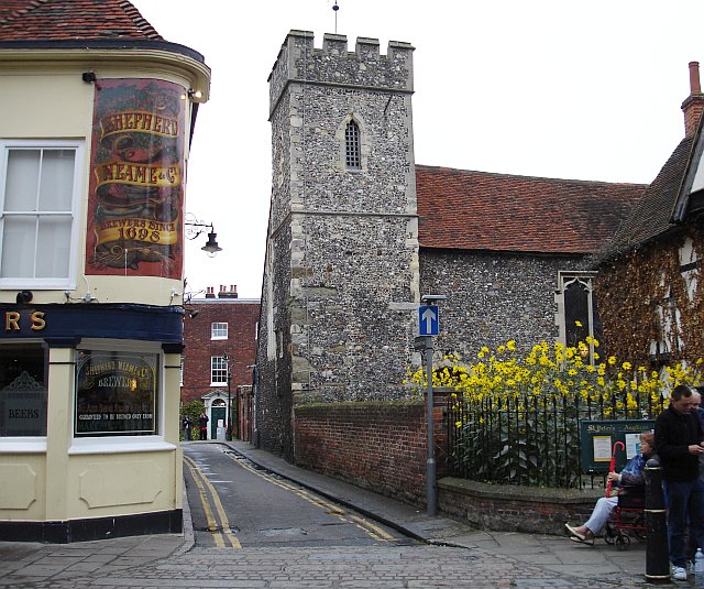
St Mildred's Church, Canterbury

The Church of Saint Mildred is a partly Anglo-Saxon stone church in Canterbury probably dating from the 11th century. It has been a Grade I listed building...
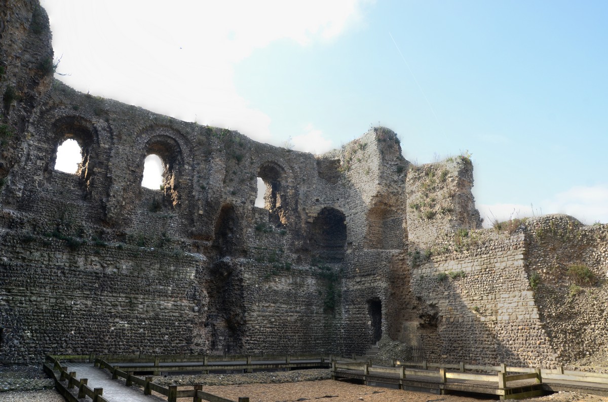
Canterbury Castle

Canterbury Castle is a Norman Castle in Canterbury, Kent, England (grid reference TR14545743). It is a five-minute walk from Canterbury East Station and...

Whitehall Meadows

Whitehall Meadows is a 11.6-hectare (29-acre) Local Nature Reserve in Canterbury in Kent. It is owned and managed by Canterbury City Council.This wet...

Wincheap

Wincheap is a road and suburb in Canterbury, Kent, England. The road forms part of the A28 road, stretching for around 1 mile (1.6 km) from the city wall...

Canterbury East railway station

Canterbury East railway station is on the Dover branch of the Chatham Main Line in England, and is one of two stations serving the city of Canterbury,...

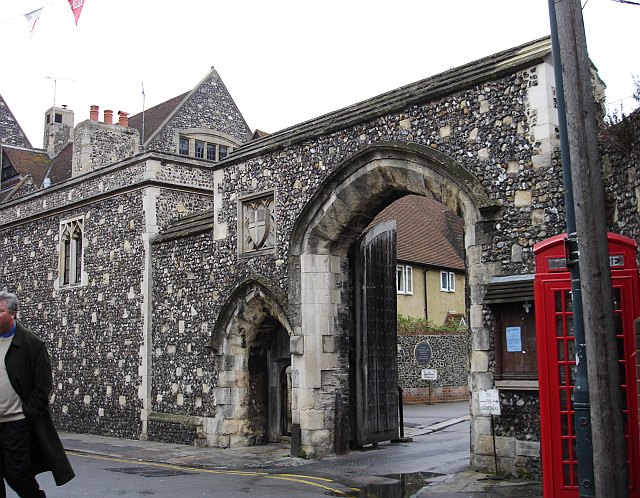
Greyfriars, Canterbury

Greyfriars in Canterbury was the first Franciscan friary in England. == History == The first Franciscans arrived in the country in 1224 (during the lifetime...

Canterbury Parkway railway station

Canterbury Parkway railway station is a proposed interchange between the Ashford–Ramsgate line and the Chatham Main Line near Canterbury, Kent. == Location... ==

Nearby Amenities

Located within 500m of 51.276698,1.070366
Barrier: bollard
Bollard: fixed
Fixme: maxwidth is an estimate. Go out and measure it.
Maxwidth: 3
Lat/Long: 51.2808746/1.0709194
Barrier: bollard
Bollard: fixed
Fixme: maxwidth is an estimate. Go out an measure it.
Maxwidth: 3
Lat/Long: 51.2806891/1.0712909
Traffic Calming: table
Lat/Long: 51.2756248/1.0751296
Traffic Calming: choked_table
Lat/Long: 51.279048/1.0753065
Traffic Calming: hump
Lat/Long: 51.2789082/1.0743949
Check Date: 2023-02-18
Traffic Calming: hump
Lat/Long: 51.278051/1.0768778
Traffic Calming: hump
Lat/Long: 51.2774699/1.0759465
Check Date: 2021-07-22
Traffic Calming: hump
Lat/Long: 51.2769976/1.0752542
Barrier: yes
Lat/Long: 51.276649/1.0756362
Mini Roundabout
Direction: clockwise
Lat/Long: 51.2744308/1.0756761
Post Box
Collection Times: Mo-Fr 16:00; Sa 11:00
Operator: Royal Mail
Operator Wikidata: Q638098
Post Box Type: pillar
Postal Code: CT1
Ref: CT1 10
Royal Cypher: EVIIR
Royal Cypher Wikidata: Q33102324
Source: survey
Lat/Long: 51.2743514/1.0757743
Crossing
Crossing: uncontrolled
Crossing Island: no
Crossing Ref: zebra
Tactile Paving: yes
Lat/Long: 51.2743782/1.0760277
Wincheap
Place: suburb
Wikidata: Q8023755
Lat/Long: 51.2744822/1.0701358
Crossing
Button Operated: yes
Crossing: traffic_signals
Crossing Island: no
Crossing Ref: pelican
Kerb: lowered
Tactile Paving: yes
Traffic Signals Sound: yes
Traffic Signals Vibration: no
Lat/Long: 51.2739287/1.0723923
Bicycle Parking
Bicycle Parking: stands
Capacity: 50
Covered: no
Lat/Long: 51.2757328/1.0727585
Bicycle Parking
Bicycle Parking: stands
Capacity: 16
Covered: no
Lat/Long: 51.2756756/1.0724332
Bicycle Parking
Bicycle Parking: stands
Capacity: 38
Covered: no
Lat/Long: 51.2760784/1.0723124
Bicycle Parking
Bicycle Parking: stands
Capacity: 10
Covered: no
Lat/Long: 51.2758437/1.072549
Barrier: bollard
Lat/Long: 51.2775208/1.0769767
Bicycle Parking
Access: residents;guests
Bicycle Parking: stands
Capacity: 30
Covered: no
Cyclestreets Id: 26931
Lat/Long: 51.2754553/1.0717564
Bicycle Parking
Access: residents;guests
Bicycle Parking: stands
Capacity: 30
Covered: no
Cyclestreets Id: 26931
Lat/Long: 51.275431/1.0719243
Bicycle Parking
Access: private
Bicycle Parking: stands
Capacity: 6
Covered: no
Lat/Long: 51.2754141/1.0713882
Bicycle Parking
Access: private
Bicycle Parking: stands
Capacity: 6
Covered: no
Lat/Long: 51.2754262/1.0713163
Bicycle Parking
Access: private
Bicycle Parking: stands
Capacity: 6
Covered: no
Lat/Long: 51.2754449/1.0712044
Bicycle Parking
Access: private
Bicycle Parking: stands
Capacity: 6
Covered: no
Lat/Long: 51.2754562/1.0711368
Bicycle Parking
Access: private
Bicycle Parking: stands
Capacity: 6
Covered: no
Lat/Long: 51.2754764/1.0710164
Bicycle Parking
Access: private
Bicycle Parking: stands
Capacity: 6
Covered: no
Lat/Long: 51.2754864/1.0709566
Bicycle Parking
Access: private
Bicycle Parking: stands
Capacity: 6
Covered: no
Lat/Long: 51.2755052/1.0708448
Bicycle Parking
Access: private
Bicycle Parking: stands
Capacity: 6
Covered: no
Lat/Long: 51.2755172/1.0707727
Bicycle Parking
Access: private
Bicycle Parking: stands
Capacity: 6
Covered: no
Lat/Long: 51.2755364/1.0706587
Bicycle Parking
Access: private
Bicycle Parking: stands
Capacity: 6
Covered: no
Lat/Long: 51.2755481/1.0705886
Noexit: yes
Lat/Long: 51.2739244/1.0742378
Post Box
Post Box Design: type_k
Post Box Type: pillar
Postal Code: CT1
Ref: CT1 374
Royal Cypher: EIIR
Royal Cypher Wikidata: Q33102113
Source: survey
Lat/Long: 51.2731773/1.0677713
Post Box
Post Box Type: meter
Postal Code: CT1
Ref: CT1 376
Source: survey
Lat/Long: 51.273189/1.06776
Post Box
Collection Times: Mo-Fr 09:00; Sa 07:00
Post Box Type: pillar
Postal Code: CT1
Ref: CT1 59
Royal Cypher: EIIR
Royal Cypher Wikidata: Q33102113
Source: survey
Lat/Long: 51.2741363/1.0730101
Post Box
Collection Plate: CP1D
Collection Times: Mo-Fr 09:00; Sa 07:00
Old Ref: CT1 32
Operator: Royal Mail
Operator Wikidata: Q638098
Post Box Type: pillar
Postal Code: CT1
Ref: CT1 32D
Royal Cypher: EIIR
Source: survey
Lat/Long: 51.2763344/1.0759263
Toddler's Cove
Access: yes
Leisure: playground
Lat/Long: 51.2785112/1.0709103
Covered: no
Leisure: picnic_table
Lat/Long: 51.2787723/1.0712823
Crossing
Crossing: unmarked
Crossing Island: no
Kerb: lowered
Tactile Paving: yes
Lat/Long: 51.2802364/1.0730066
Bench
Backrest: yes
Lat/Long: 51.2805769/1.0735433
Waste Basket
Lat/Long: 51.2804733/1.073438
Bench
Backrest: yes
Lat/Long: 51.2804356/1.0734023
Bench
Lat/Long: 51.2803519/1.0733075
Bicycle Parking
Bicycle Parking: stands
Capacity: 6
Check Date: 2023-05-10
Covered: no
Source: survey
Lat/Long: 51.2743691/1.0753264
Barrier: bollard
Lat/Long: 51.2776772/1.0729852
Barrier: bollard
Lat/Long: 51.2776635/1.0727358
Barrier: bollard
Lat/Long: 51.2787665/1.0748569
Barrier: bollard
Lat/Long: 51.2787253/1.0748248
Bus Stop
Canterbury East Railway Station
Bench: no
Bin: no
Bus: yes
Lit: yes
Naptan AtcoCode: 2400A049550A
Naptan Bearing: E
Naptan CommonName: Canterbury East Railway Station
Naptan Indicator: opp
Naptan Landmark: Castle Row
Naptan NaptanCode: kntgamwj
Naptan PlusbusZoneRef: CNTBE
Naptan ShortCommonName: Canterbury East Stn
Naptan Street: Pin Hill
Naptan Verified: no
Public Transport: platform
Ref: kntgamwj
Shelter: no
Short Name: Canterbury East Stn
Source: naptan_import
Source Date: 2018-03-29T12:06:00
Tactile Paving: no
Lat/Long: 51.2750027/1.0753867
Bus Stop
York Road
Bench: no
Bin: yes
Bus: yes
Lit: yes
Naptan AtcoCode: 2400A049560A
Naptan Bearing: SW
Naptan CommonName: York Road
Naptan Indicator: adj
Naptan Landmark: Wincheap
Naptan NaptanCode: kntgamwm
Naptan PlusbusZoneRef: CNTBE
Naptan Street: Wincheap
Naptan Verified: no
Public Transport: platform
Shelter: no
Source: naptan_import
Tactile Paving: no
Lat/Long: 51.2735198/1.071666
Bus Stop
York Road
Bench: no
Bin: no
Bus: yes
Lit: yes
Naptan AtcoCode: 2400A049570A
Naptan Bearing: NE
Naptan CommonName: York Road
Naptan Indicator: opp
Naptan Landmark: O/S Hi Q Tyres
Naptan NaptanCode: kntgamwp
Naptan PlusbusZoneRef: CNTBE
Naptan Street: Wincheap
Naptan Verified: no
Public Transport: platform
Shelter: yes
Source: naptan_import
Tactile Paving: no
Lat/Long: 51.2736107/1.0715927
Taxi
Canterbury East Rail Station
Capacity: 3
Naptan AtcoCode: 2400A062670R
Naptan CommonName: Canterbury East Rail Station
Naptan Indicator: taxi rank
Naptan Landmark: Railway Station
Naptan PlusbusZoneRef: CNTBE
Naptan Street: Station Road East
Naptan Verified: no
Source: naptan_import
Source Date: 2013-11-29T09:17:00
Lat/Long: 51.2743179/1.0761254
Recycling
Recycling Glass Bottles: yes
Lat/Long: 51.2755659/1.0699273
Post Box
Collection Times: Mo-Fr 09:00; Sa 07:00
Operator: Royal Mail
Operator Wikidata: Q638098
Post Box Type: wall
Postal Code: CT1
Ref: CT1 13
Royal Cypher: GR
Royal Cypher Wikidata: Q33102273
Source: survey
Lat/Long: 51.2724457/1.0694998
Bicycle Parking
Bicycle Parking: stands
Capacity: 8
Covered: no
Lat/Long: 51.2758148/1.0715474
Bicycle Parking
Bicycle Parking: stands
Capacity: 10
Covered: no
Lat/Long: 51.2758523/1.0722726
Bicycle Parking
Bicycle Parking: stands
Capacity: 10
Covered: no
Lat/Long: 51.2756633/1.0721551
Bicycle Parking
Bicycle Parking: stands
Capacity: 24
Covered: no
Lat/Long: 51.2755152/1.0724042
Bicycle Parking
Bicycle Parking: stands
Capacity: 26
Covered: no
Lat/Long: 51.2755137/1.0724527
Bicycle Parking
Bicycle Parking: stands
Capacity: 20
Covered: no
Lat/Long: 51.2756325/1.0716012
Bicycle Parking
Bicycle Parking: stands
Capacity: 34
Covered: no
Lat/Long: 51.2759428/1.0722806
Bicycle Parking
Access: private
Bicycle Parking: front_wheel
Capacity: 10
Covered: yes
Cyclestreets Id: 27308
Lat/Long: 51.2774843/1.0739167
Traffic Calming: hump
Lat/Long: 51.2738696/1.0750028
Traffic Calming: hump
Lat/Long: 51.2762899/1.0759677
Barrier: bollard
Lat/Long: 51.2761552/1.0740744
Street Lamp
Lat/Long: 51.2746479/1.076643
Street Lamp
Lat/Long: 51.2747681/1.0760602
Street Lamp
Lat/Long: 51.2748845/1.0754973
Street Lamp
Lat/Long: 51.2750132/1.0748402
Bicycle Parking
Bicycle Parking: stands
Capacity: 12
Covered: no
Lat/Long: 51.2755705/1.0735591
Traffic Calming: table
Lat/Long: 51.2754509/1.0729637
Barrier: kissing_gate
Lat/Long: 51.275872/1.066481
Man Made: monitoring_station
Monitoring Air Quality: continuous
Monitoring Air Quality NO: yes
Monitoring Air Quality NO2: yes
Lat/Long: 51.2792161/1.0736373
Addr City: Canterbury
Addr Country: GB
Addr County: Kent
Addr Housename: Linen House
Addr Street: Castle Street
Lat/Long: 51.2766934/1.0766834
Barrier: bollard
Lat/Long: 51.2771171/1.0729907
Barrier: bollard
Lat/Long: 51.2775257/1.072908
Bicycle Parking
Bicycle Parking: stands
Capacity: 10
Covered: no
Lat/Long: 51.2734674/1.069892
Bench
Backrest: yes
Lat/Long: 51.2761778/1.0673792
Bicycle: yes
Man Made: monitoring_station
Monitoring Traffic: induction_loop
Lat/Long: 51.277331/1.0693992
Man Made: monitoring_station
Monitoring Traffic: induction_loop
Traffic Sensor: loop
Vehicle: yes
Lat/Long: 51.2771747/1.0724295
Man Made: monitoring_station
Monitoring Traffic: induction_loop
Traffic Sensor: loop
Vehicle: yes
Lat/Long: 51.2774813/1.0725481
Man Made: monitoring_station
Monitoring Traffic: induction_loop
Vehicle: yes
Lat/Long: 51.2807133/1.068426
Man Made: monitoring_station
Monitoring Traffic: induction_loop
Vehicle: yes
Lat/Long: 51.2808131/1.0684907
Man Made: monitoring_station
Monitoring Traffic: induction_loop
Vehicle: yes
Lat/Long: 51.2797186/1.0741265
Addr City: Canterbury
Addr Country: GB
Addr County: Kent
Addr Housename: Exchange House
Addr Housenumber: 42A
Addr Street: Stour Street
Lat/Long: 51.2775125/1.0758888
Addr City: Canterbury
Addr Country: GB
Addr County: Kent
Addr Housename: The Old Rectory
Addr Housenumber: 47
Addr Street: Stour Street
Lat/Long: 51.2773178/1.0755469
Addr City: Canterbury
Addr Country: GB
Addr County: Kent
Addr Housenumber: 1
Addr Street: Mulberry Court
Lat/Long: 51.2777149/1.0762014
Addr City: Canterbury
Addr Country: GB
Addr County: Kent
Addr Housenumber: 31
Addr Postcode: CT1 2NZ
Addr Street: Stour Street
Source Postcode: land_registry_price_paid_data
Lat/Long: 51.2779091/1.0765249
Addr City: Canterbury
Addr Country: GB
Addr County: Kent
Addr Housenumber: 32
Addr Postcode: CT1 2NZ
Addr Street: Stour Street
Source Postcode: land_registry_price_paid_data
Lat/Long: 51.2778741/1.0764615
Addr City: Canterbury
Addr Country: GB
Addr County: Kent
Addr Housenumber: 33
Addr Postcode: CT1 2NZ
Addr Street: Stour Street
Source Postcode: land_registry_price_paid_data
Lat/Long: 51.2778393/1.0764066
Addr City: Canterbury
Addr Country: GB
Addr County: Kent
Addr Housenumber: 34
Addr Postcode: CT1 2NZ
Addr Street: Stour Street
Source Postcode: land_registry_price_paid_data
Lat/Long: 51.2778076/1.076356
Addr City: Canterbury
Addr Country: GB
Addr County: Kent
Addr Housenumber: 44
Addr Street: Stour Street
Lat/Long: 51.27742/1.0757294
Addr City: Canterbury
Addr Country: GB
Addr County: Kent
Addr Housenumber: 44A
Addr Street: Stour Street
Lat/Long: 51.2774463/1.0757897
Addr City: Canterbury
Addr Country: GB
Addr County: Kent
Addr Housenumber: 45
Addr Street: Stour Street
Lat/Long: 51.2773909/1.0756674
Addr City: Canterbury
Addr Country: GB
Addr County: Kent
Addr Housenumber: 46
Addr Street: Stour Street
Lat/Long: 51.2773578/1.0756263
Addr City: Canterbury
Addr Country: GB
Addr County: Kent
Addr Housenumber: 68
Addr Street: Stour Street
Lat/Long: 51.2778223/1.0766806
Addr City: Canterbury
Addr Country: GB
Addr County: Kent
Addr Housenumber: 69
Addr Street: Stour Street
Lat/Long: 51.2778971/1.0767913
Taylor's Hairdressing
Addr City: Canterbury
Addr Country: GB
Addr County: Kent
Addr Housenumber: 42
Addr Postcode: CT1 2PH
Addr Street: Stour Street
Email: taylorshairdressing@gmail.com
Female: yes
Male: yes
Opening Hours: Su-Mo off;Tu-We,Fr-Sa 09:00-17:00;Th 09:00-19:00
Phone: +44 1227 788777
Shop: hairdresser
Website: https://www.taylorshairdressing.com/
Lat/Long: 51.2775368/1.075943
Carpe diem
Addr City: Canterbury
Addr Country: GB
Addr County: Kent
Addr Housenumber: 27
Addr Street: Castle Street
Office: company
Lat/Long: 51.2760366/1.0757608
Addr City: Canterbury
Addr Country: GB
Addr County: Kent
Addr Housename: Tannery Mews
Lat/Long: 51.277159/1.0757326
Addr City: Canterbury
Addr Country: GB
Addr County: Kent
Addr Housenumber: 21
Addr Street: Hospital Lane
Lat/Long: 51.2775254/1.0761458
Addr City: Canterbury
Addr Country: GB
Addr County: Kent
Addr Housenumber: 25
Addr Street: Castle Street
Lat/Long: 51.2761983/1.0759465
Addr City: Canterbury
Addr Country: GB
Addr County: Kent
Addr Housenumber: 26
Addr Street: Castle Street
Lat/Long: 51.2761468/1.0758821
Bicycle Parking
Bicycle Parking: stands
Capacity: 10
Colour: silver
Covered: no
Cyclestreets Id: 181133
Material: metal
Lat/Long: 51.2779722/1.0699851
Bicycle Parking
Bicycle Parking: stands
Capacity: 10
Check Date Capacity: 2023-04-16
Covered: no
Lat/Long: 51.2783623/1.0713382
Toilets
Service Station Toilets
Lat/Long: 51.2724881/1.0687938
Man Made: street_cabinet
Street Cabinet: traffic_signals
Lat/Long: 51.2774939/1.0726791
Man Made: street_cabinet
Street Cabinet: traffic_signals
Lat/Long: 51.2771407/1.0723358
Welcome To Hambrook Marshes
Board Type: nature
Check Date: 2023-04-02
Information: board
Tourism: information
Lat/Long: 51.275761/1.066451
Cafe
Pumpkin Cafe
Addr City: Canterbury
Addr Country: GB
Addr County: Kent
Addr Housename: Canterbury East Railway Station
Addr Postcode: CT1 2RB
Addr Street: Station Road East
Fhrs Id: 1102936
Shop: newsagent
Source Addr: FHRS Open Data
Lat/Long: 51.2743074/1.0758828
Community Centre
Canterbury Umbrella Centre
Addr City: Canterbury
Addr Country: GB
Addr County: Kent
Addr Postcode: CT1 2DB
Addr Street: St. Peter's Place
Fhrs Id: 1102508
Website: https://www.canterburyumbrella.org/
Lat/Long: 51.2798056/1.0740474
Paula's Hair Design
Addr City: Canterbury
Addr Country: GB
Addr County: Kent
Addr Housenumber: 18
Addr Postcode: CT1 3QZ
Addr Street: Wincheap
Contact Phone: +44 1227 652139
Shop: hairdresser
Unisex: yes
Lat/Long: 51.2745214/1.0733517
Kiki Grocery Store
Addr City: Canterbury
Addr Country: GB
Addr County: Kent
Addr Housenumber: 20
Addr Postcode: CT1 3QZ
Addr Street: Wincheap
Shop: convenience
Lat/Long: 51.2745072/1.0733007
Bee Pee Hair Boutique
Addr City: Canterbury
Addr Country: GB
Addr County: Kent
Addr Housenumber: 18
Addr Postcode: CT1 3QZ
Addr Street: Wincheap
Contact Phone: +44 1227 472555
Contact Website: http://www.beepeeboutique.co.uk/
Female: yes
Male: no
Shop: hairdresser
Lat/Long: 51.2744828/1.0732336
Entrance: yes
Lat/Long: 51.2724224/1.0694446
Entrance: yes
Lat/Long: 51.2723977/1.0693878
Entrance: yes
Lat/Long: 51.2723285/1.0693546
Entrance: yes
Lat/Long: 51.2723277/1.0692816
Entrance: yes
Lat/Long: 51.2723204/1.0692106
Drinking Water
Access: yes
Wheelchair: yes
Lat/Long: 51.2751379/1.076321
Toilets
Lat/Long: 51.274332/1.0755673
Entrance: exit
Lat/Long: 51.2738912/1.073447
Entrance: yes
Lat/Long: 51.2741936/1.0731423
Canterbury East
Naptan AtcoCode: 9100CNTBE
Network: National Rail
Network Website: https://www.nationalrail.co.uk/stations/cbe/
Network Wikidata: Q26334
Operator: Southeastern
Operator Website: https://www.southeasternrailway.co.uk/travel-information/more-travel-help/station-information/stations/canterbury-east
Operator Wikidata: Q108888230
Public Transport: station
Railway: station
Ref Crs: CBE
Wheelchair: limited
Wikidata: Q4381574
Wikipedia: en:Canterbury East railway station
Lat/Long: 51.274185/1.07582
Canterbury East
Public Transport: stop_position
Railway: stop
Ref: 1
Train: yes
Lat/Long: 51.2743889/1.0748337
Generator Method: photovoltaic
Generator Orientation: 41
Generator Output Electricity: yes
Generator Solar Modules: 8
Generator Source: solar
Generator Type: solar_photovoltaic_panel
Location: roof
Power: generator
Lat/Long: 51.2805911/1.0697964
Entrance: yes
Lat/Long: 51.2740128/1.0710938
Entrance: yes
Lat/Long: 51.274031/1.0710697
Entrance: yes
Lat/Long: 51.2739371/1.0711997
Entrance: yes
Lat/Long: 51.2739678/1.0711609
Entrance: main
Lat/Long: 51.2735757/1.0712897
Entrance: yes
Lat/Long: 51.2733308/1.069747
Entrance: yes
Lat/Long: 51.2733857/1.0698806
Entrance: yes
Lat/Long: 51.2733426/1.0698126
Generator Method: photovoltaic
Generator Orientation: 144
Generator Output Electricity: yes
Generator Source: solar
Generator Type: solar_photovoltaic_panel
Location: roof
Power: generator
Lat/Long: 51.2732864/1.0719636
Generator Method: photovoltaic
Generator Orientation: 144
Generator Output Electricity: yes
Generator Source: solar
Generator Type: solar_photovoltaic_panel
Location: roof
Power: generator
Lat/Long: 51.2732646/1.0719167
Generator Method: photovoltaic
Generator Orientation: 144
Generator Output Electricity: yes
Generator Source: solar
Generator Type: solar_photovoltaic_panel
Location: roof
Power: generator
Lat/Long: 51.2732432/1.0718704
Generator Method: photovoltaic
Generator Orientation: 142
Generator Output Electricity: yes
Generator Source: solar
Generator Type: solar_photovoltaic_panel
Location: roof
Power: generator
Lat/Long: 51.2733822/1.0717234
Generator Method: photovoltaic
Generator Orientation: 173
Generator Output Electricity: yes
Generator Solar Modules: 6
Generator Source: solar
Generator Type: solar_photovoltaic_panel
Location: roof
Power: generator
Lat/Long: 51.2728971/1.0713091
Post (brazier)
Man Made: beacon
Lat/Long: 51.2770604/1.0718372
Entrance: main
Lat/Long: 51.2738271/1.071988
Telephone
Booth: K6
Check Date: 2024-02-07
Covered: booth
Listed Status: Grade II
Payment Coins: yes
Payment Credit Cards: yes
Payment Debit Cards: yes
Phone: +44 1227 451429
Lat/Long: 51.2747024/1.0741313
Generator Method: photovoltaic
Generator Output Electricity: yes
Generator Solar Modules: 8
Generator Source: solar
Generator Type: solar_photovoltaic_panel
Location: roof
Power: generator
Lat/Long: 51.2806213/1.0721011
Generator Method: photovoltaic
Generator Output Electricity: yes
Generator Solar Modules: 8
Generator Source: solar
Generator Type: solar_photovoltaic_panel
Location: roof
Power: generator
Lat/Long: 51.280701/1.0720836
Generator Method: photovoltaic
Generator Output Electricity: yes
Generator Source: solar
Generator Type: solar_photovoltaic_panel
Location: roof
Power: generator
Lat/Long: 51.2808742/1.0704683
Generator Method: photovoltaic
Generator Output Electricity: yes
Generator Source: solar
Generator Type: solar_photovoltaic_panel
Location: roof
Power: generator
Lat/Long: 51.2723274/1.0714722
Generator Method: photovoltaic
Generator Output Electricity: yes
Generator Source: solar
Generator Type: solar_photovoltaic_panel
Location: roof
Power: generator
Lat/Long: 51.272903/1.0728326
Bus Stop
Canterbury East Railway Station
Naptan AtcoCode: 2400A062660R
Naptan Bearing: E
Naptan CommonName: Canterbury East Railway Station
Naptan Indicator: o/s
Naptan Landmark: Canterbury East Railway Station
Naptan NaptanCode: kntgdawp
Naptan ShortCommonName: Canterbury East Stn
Naptan Street: Station Road East
Naptan Verified: no
Public Transport: platform
Ref: kntgdawp
Short Name: Canterbury East Stn
Source: naptan_import
Source Date: 2018-03-29T12:09:00
Lat/Long: 51.274377/1.0762627
Entrance: main
Naptan AtcoCode: 2400CNTBE0
Naptan CommonName: Canterbury East Rail Station
Naptan Indicator: main entrance
Naptan Landmark: Station Entrance
Naptan Street: Station Road
Ref: 2400CNTBE0
Source: naptan_import
Source Date: 2013-11-28T14:57:00
Lat/Long: 51.274326/1.0760204
Traffic Calming: table
Lat/Long: 51.2792773/1.0746242
Playground: roundabout
Lat/Long: 51.2722762/1.069783
Playground: basketswing
Lat/Long: 51.2722115/1.070125
Playground: swing
Lat/Long: 51.2722197/1.0697901
Bench: yes
Covered: no
Leisure: picnic_table
Material: metal
Lat/Long: 51.2724185/1.0698767
Bench: yes
Covered: no
Leisure: picnic_table
Material: metal
Lat/Long: 51.2723665/1.0699121
Playground: balancebeam
Lat/Long: 51.2722644/1.070043
Playground: slide
Lat/Long: 51.2723031/1.0698437
Camera Type: panning
Man Made: surveillance
Surveillance Type: camera
Survey Date: 2021-07-22
Lat/Long: 51.2748827/1.0767682
Board Type: history
Information: board
Survey Date: 2021-07-22
Tourism: information
Lat/Long: 51.2760204/1.0766685
Charging Station
Bicycle: no
Capacity: 2
Motorcar: yes
Motorcycle: no
Operator: Swarco
Operator Wikidata: Q118383410
Scooter: no
Socket Chademo: 1
Socket Chademo Output: 50 kW
Socket Type1 Combo: 1
Socket Type1 Combo Output: 50 kW
Truck: no
Lat/Long: 51.2734224/1.0672912
Parcel Locker
Brand: Amazon Hub
Brand Wikidata: Q100274430
Colour: blue
Operator: Amazon
Lat/Long: 51.2724197/1.0689421
Vending Machine
Vending: parking_tickets
Lat/Long: 51.2756279/1.0755866
Information: board
Tourism: information
Lat/Long: 51.2756313/1.0756379
Bench
Backrest: yes
Lat/Long: 51.2774413/1.0742999
Bicycle Parking
Bicycle Parking: wall_loops
Capacity: 6
Covered: no
Lat/Long: 51.2741256/1.0666666
Parcel Locker
Brand: DPD
Colour: white
Operator: DPD
Lat/Long: 51.2724118/1.068918
Barrier: bollard
Lat/Long: 51.2780111/1.0752099
London Gate Tower
Description: Plague marking location of former London Gate Tower
Historic: memorial
Memorial: plaque
Lat/Long: 51.279439/1.072897
Roman Road
Description: Series of stones across the path mark the course of the Roman road of Watling Street, which crossed the River Stour here. The actual Roman road is buried a metre under the ground level.
Historic: memorial
Memorial: plaque
Lat/Long: 51.2795365/1.0725303
Canterbury Bull
Artwork Type: sculpture
Tourism: artwork
Lat/Long: 51.2772294/1.0721516
Charging Station
Capacity: 2
Fee: yes
Lat/Long: 51.2753222/1.0759308
Charging Station
Capacity: 2
Fee: yes
Lat/Long: 51.2752883/1.0758805
Skin and Laser
Shop: beauty
Lat/Long: 51.2761672/1.0759038
Bench
Lat/Long: 51.2761624/1.0766038
Bench
Lat/Long: 51.2762829/1.0765723
Bench
Lat/Long: 51.2764289/1.0765338
Bench
Lat/Long: 51.276391/1.076605
Bench
Lat/Long: 51.2762354/1.0766412
Grit Bin
Access: yes
Material: plastic
Survey Date: 2023-08-21
Lat/Long: 51.2752772/1.0739889
Parcel Locker
Brand: InPost
Colour: gray
Lat/Long: 51.2742362/1.076296
Access: customers
Description: Water filtration company
Drinking Water: no
Man Made: water_tap
Operator: Spotless Water
Website: https://www.spotlesswater.co.uk
Lat/Long: 51.2745469/1.0720691
Parking
Capacity: 4
Parking: street_side
Lat/Long: 51.2737665/1.0719316
Parking
Capacity Disabled: 3
Parking: street_side
Lat/Long: 51.2736741/1.0717304
Parking
Capacity: 5
Parking: street_side
Lat/Long: 51.2735438/1.0714608
Parking
Capacity: 3
Parking: street_side
Lat/Long: 51.2740444/1.0725075
Parking
Capacity: 10
Parking: street_side
Lat/Long: 51.2733575/1.0712784
Parking
Capacity: 7
Parking: street_side
Lat/Long: 51.2733912/1.0711242
Parking
Capacity: 4
Parking: street_side
Lat/Long: 51.2727676/1.0700799
Parking
Capacity: 4
Parking: street_side
Lat/Long: 51.2731978/1.070708
Parking
Capacity: 7
Parking: street_side
Lat/Long: 51.2736634/1.0719615
Barrier: bollard
Lat/Long: 51.2731646/1.0726971
Generator Method: photovoltaic
Generator Orientation: 173
Generator Output Electricity: yes
Generator Solar Modules: 6
Generator Source: solar
Generator Type: solar_photovoltaic_panel
Location: roof
Power: generator
Lat/Long: 51.2726051/1.0716477
Street Lamp
Lamp Type: led
Ref: NPJ001
Support: pole
Lat/Long: 51.2731184/1.0724115
Street Lamp
Lamp Type: led
Ref: NPJ002
Support: pole
Lat/Long: 51.2728947/1.0720334
Street Lamp
Lamp Mount: pole
Lamp Type: led
Support: pole
Lat/Long: 51.2728094/1.0715035
Careco
Shop: medical_supply
Website: https://www.careco.co.uk
Lat/Long: 51.2734687/1.0688895
Chimera Climbing
Addr City: Canterbury
Addr Housename: Unit 1
Addr Housenumber: 22
Addr Postcode: CT1 3RH
Addr Street: Maynard Road
Charge: 14 GBP per day
Fee: yes
Leisure: sports_centre
Opening Hours: Mo-Fr 10:00-22:00; Sa-Su 08:00-18:00
Operator: Chimera
Operator Type: private_for_profit
Phone: 01892 457 294
Source: Bing
Sport: climbing
Website: https://www.chimeraclimbingcanterbury.com
Lat/Long: 51.2735271/1.0690372
Toolstation
Addr City: Canterbury
Addr Postcode: CT1 3RH
Addr Street: Simmonds Road
Brand: Toolstation
Brand Wikidata: Q7824103
Opening Hours: Mo-Fr 07:00-20:00; Sat 07:00-1800; Sun 09:00-16:00
Shop: doityourself
Source: Bing
Lat/Long: 51.2733189/1.0685108
Kew Electrical
Shop: electrical
Lat/Long: 51.273369/1.0686611
Street Lamp
Lamp Mount: bent_mast
Lamp Type: led
Support: pole
Lat/Long: 51.2730816/1.0714411
Vending Machine
Spotless Water
Vending: water
Lat/Long: 51.2740016/1.0666801
Bicycle Parking
Bicycle Parking: wall_loops
Capacity: 5
Colour: silver
Covered: no
Cyclestreets Id: 201807
Material: metal
Lat/Long: 51.2746506/1.0711656
The data included in this document is from www.openstreetmap.org. The data is made available under ODbL.

Have you been to Bingley Island?

Leave your review of Bingley Island below (or comments, questions and feedback).