Colne Bar

Island in Essex Tendring

England

Colne Bar

Reserve Path This path leads to <a href="https://www.geograph.org.uk/photo/7504472">TM0912 : Colne Point Jetty</a> it is possible it was once part of a narrow gauge industrial railway.
Reserve Path Credit: Glyn Baker

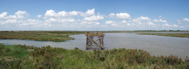
Colne Bar, also known as Colne Island, is an uninhabited island located off the coast of Essex, England. Situated at the mouth of the River Colne, it is part of the larger Blackwater Estuary. The island is approximately 1.5 kilometers long and covers an area of around 80 hectares.

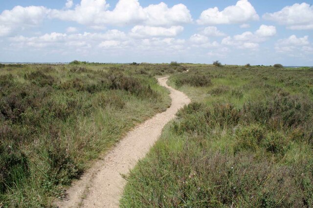
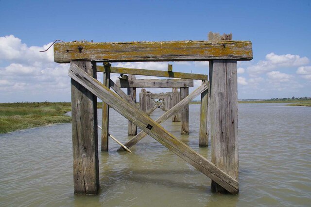
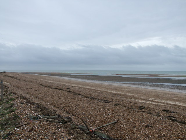
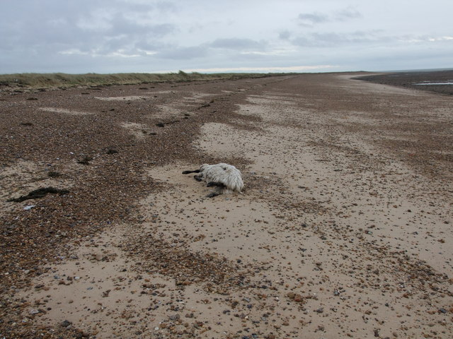
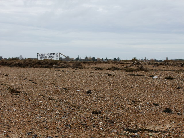
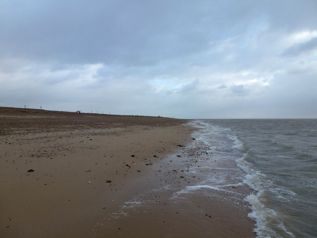
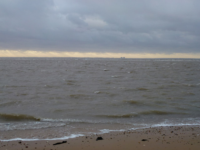
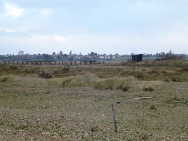
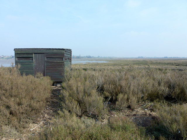
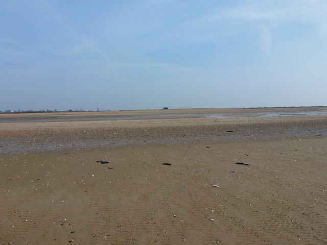
Colne Bar is a low-lying island, consisting mainly of sand and shingle with some patches of salt marsh vegetation. Due to its exposed position, it is often affected by strong currents and shifting sandbanks, making it a hazardous area for navigation. As a result, the island is not accessible by boat or foot for most of the year.

The wildlife on Colne Bar is diverse and abundant, attracting nature enthusiasts and birdwatchers. The island serves as an important breeding ground for several bird species such as little terns, oystercatchers, and ringed plovers. It also provides a feeding ground for wintering wildfowl and waders.

Colne Bar is managed as a nature reserve by various conservation organizations, including the Royal Society for the Protection of Birds (RSPB). Access to the island is strictly controlled to protect the fragile ecosystem and nesting sites. Special permits are required for research purposes or guided visits organized by authorized groups.

Overall, Colne Bar is a valuable and protected natural area, offering a haven for wildlife and contributing to the ecological diversity of the Blackwater Estuary.

If you have any feedback on the listing, please let us know in the comments section below.

Colne Bar Images

Images are sourced within 2km of 51.768706/1.0378771 or Grid Reference TM0912. Thanks to Geograph Open Source API. All images are credited.

Reserve Path This path leads to <a href="https://www.geograph.org.uk/photo/7504472">TM0912 : Colne Point Jetty</a> it is possible it was once part of a narrow gauge industrial railway.
Reserve Path
This path leads to TM0912 : Colne Point Jetty it is possible it was once part of a narrow gauge industrial railway.
Colne Point Jetty The derelict jetty in Ray Creek was once served by a narrow gauge industrial railway.
Colne Point Jetty
The derelict jetty in Ray Creek was once served by a narrow gauge industrial railway.
A Jaded Jetty in Ray Creek A close up of <a href="https://www.geograph.org.uk/photo/7504472">TM0912 : Colne Point Jetty</a>.
A Jaded Jetty in Ray Creek
Beach at mouth of River Colne, Colne Point Nature Reserve
Beach at Colne Point Nature Reserve This dead sheep is one of three that were on the beach.
Beach at Colne Point Nature Reserve
This dead sheep is one of three that were on the beach.
Sign 'Landing permitted..' at Colne Point Nature Reserve
Reserve Beach This is part of the beach reached through Colne Point Nature Reserve.
Reserve Beach
This is part of the beach reached through Colne Point Nature Reserve.
Wet Grid Quite a lot of this grid is tidal, where the River Colne meets the North Sea.
The two blobs on the Horizon are Bradwell Nuclear Power Station (Now decommissioned).
Wet Grid
Quite a lot of this grid is tidal, where the River Colne meets the North Sea. The two blobs on the Horizon are Bradwell Nuclear Power Station (Now decommissioned).
Colne Point Nature Reserve This is part of Colne Point Nature Reserve. The Jetty (disused) on Ray Creek and the Jetty Hide can be seen.
Colne Point Nature Reserve
This is part of Colne Point Nature Reserve. The Jetty (disused) on Ray Creek and the Jetty Hide can be seen.
North Hide This is the north hide on Colne Point Nature Reserve.

It is quite a long walk to get here and you have to be careful with the tides as this area floods.
North Hide
This is the north hide on Colne Point Nature Reserve. It is quite a long walk to get here and you have to be careful with the tides as this area floods.
Sandy Grid This area is usually under water even at low tide. The black blob on the horizon is the <a href="https://www.geograph.org.uk/photo/2827131">TM0914 : North Hide</a> on Colne Point Nature Reserve
Sandy Grid
This area is usually under water even at low tide. The black blob on the horizon is the TM0914 : North Hide on Colne Point Nature Reserve
Brightlingsea Reach Looking across Brightlingsea Reach from the beach at Colne Point Nature Reserve at a misty Mersea Island.
Brightlingsea Reach
Looking across Brightlingsea Reach from the beach at Colne Point Nature Reserve at a misty Mersea Island.
Essex Coast This section of Essex coastline is at Colne Point Nature Reserve.
Essex Coast
This section of Essex coastline is at Colne Point Nature Reserve.
Colne Point Nature Reserve The bushes are Shrubby Seablite/Suadae vera. The black hut is the <a href="https://www.geograph.org.uk/photo/2827131">TM0914 : North Hide</a>.
Colne Point Nature Reserve
The bushes are Shrubby Seablite/Suadae vera. The black hut is the TM0914 : North Hide.
Saltmarsh Footpath This path starts here and runs through the saltmarsh on Colne Point Nature Reserve towards <a href="https://www.geograph.org.uk/photo/2827131">TM0914 : North Hide</a>. It is a ridge of higher ground covered in Shrubby Seablite/Suadae vera. It is prone to flooding, check the tide tables.
Saltmarsh Footpath
This path starts here and runs through the saltmarsh on Colne Point Nature Reserve towards TM0914 : North Hide. It is a ridge of higher ground covered in Shrubby Seablite/Suadae vera. It is prone to flooding, check the tide tables.
Oyster Beach The sprinkling of white shells on the beach are  Osyter shells, minus the Oysters.
Oyster Beach
The sprinkling of white shells on the beach are Osyter shells, minus the Oysters.
Lee-over-Sands If it is peace and quiet you are after these chalets are about as isolated as you can get within a sixty mile radius of central London. It must be a constant battle with the elements to keep them maintained.
Lee-over-Sands
If it is peace and quiet you are after these chalets are about as isolated as you can get within a sixty mile radius of central London. It must be a constant battle with the elements to keep them maintained.
Sewage Farm This is the sewage farm at Lee-over-Sands
Sewage Farm
This is the sewage farm at Lee-over-Sands
Show me another place!

Colne Bar is located at Grid Ref: TM0912 (Lat: 51.768706, Lng: 1.0378771)

Administrative County: Essex

District: Tendring

Police Authority: Essex

What 3 Words

///trudges.muscular.sculpture. Near St Osyth, Essex

Nearby Locations

Colne Bar

Related Wikis

Lee-over-Sands

Lee-over-Sands is a small coastal hamlet in the civil parish of St Osyth, in the Tendring district of Essex, England. It is located close to the mouth...

Colne Point

Colne Point is a 276.4-hectare (683-acre) nature reserve south-west of St Osyth in Essex. It is managed by the Essex Wildlife Trust. It is part of the...

Point Clear

Point Clear is a village in the civil parish of St Osyth, south-west of the village of St Osyth and on the other side of St Osyth Creek, a branch of the...

Cindery Island

Cindery Island is at the mouth of Brightlingsea Creek (off the town of Brightlingsea) on the east coast of England in the county of Essex. == External... ==

Have you been to Colne Bar?

Leave your review of Colne Bar below (or comments, questions and feedback).