Eilean Mòr

Island in Inverness-shire

Scotland

Eilean Mòr

Forestry clearance near Sandaig
Forestry clearance near Sandaig Credit: David Medcalf

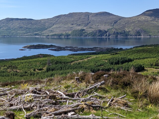
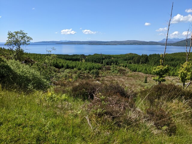
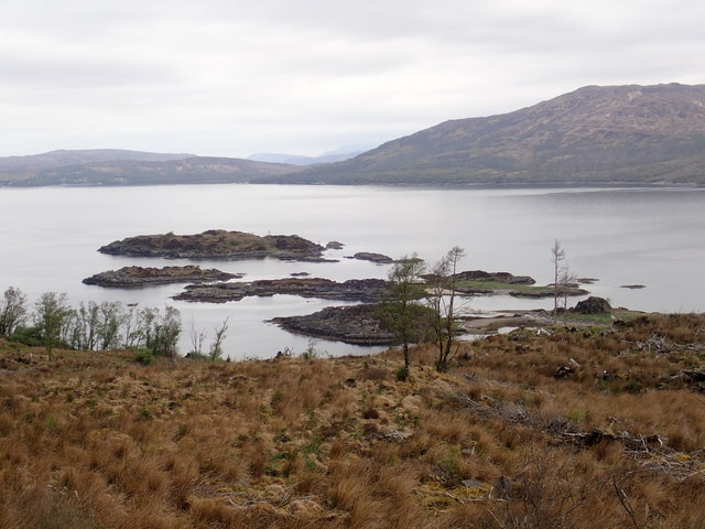
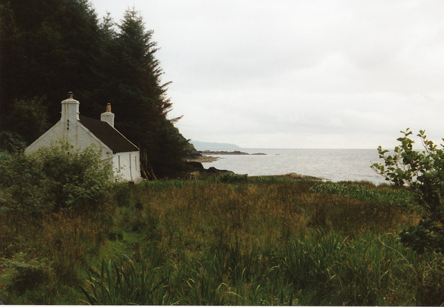
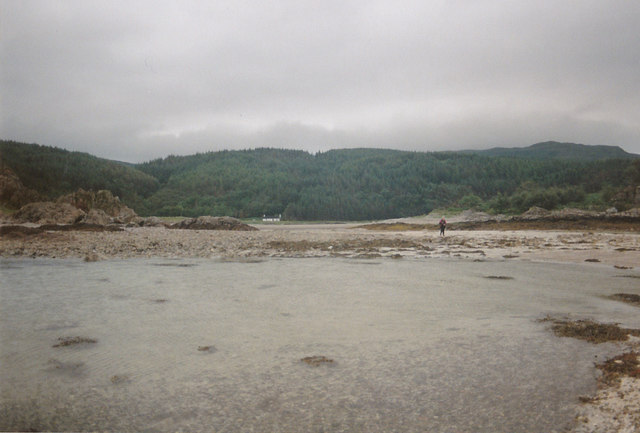
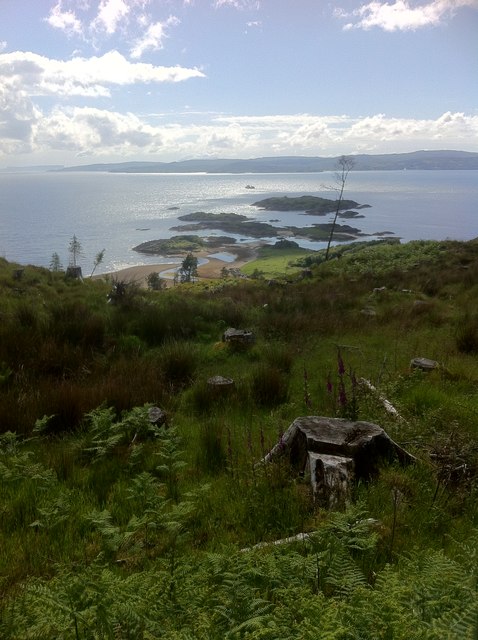
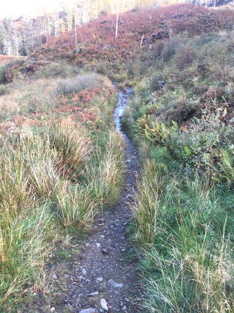
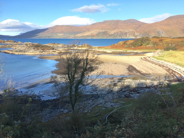
Eilean Mòr is a small island located in Inverness-shire, Scotland. It is situated in the Inner Hebrides, off the west coast of Scotland. The island is known for its rugged beauty, with rocky cliffs, sandy beaches, and rolling hills.

Eilean Mòr is a popular destination for outdoor enthusiasts, offering opportunities for hiking, birdwatching, and fishing. The island is home to a variety of wildlife, including seabirds, seals, and otters.

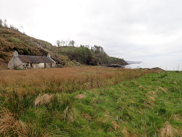
The main settlement on Eilean Mòr is the village of Kinloch, which is home to a small community of residents. The village has a pub, a shop, and a post office, providing essential services for both locals and visitors.

Visitors to Eilean Mòr can explore the island's historic sites, including the ruins of a 15th-century castle and a Neolithic burial chamber. The island also has a lighthouse, built in the 19th century, which offers stunning views of the surrounding area.

Overall, Eilean Mòr is a tranquil and picturesque island, offering a peaceful escape from the hustle and bustle of modern life.

If you have any feedback on the listing, please let us know in the comments section below.
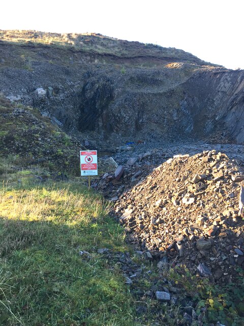
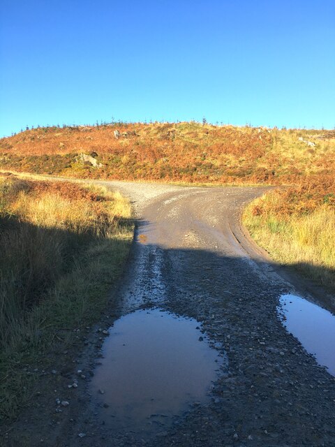
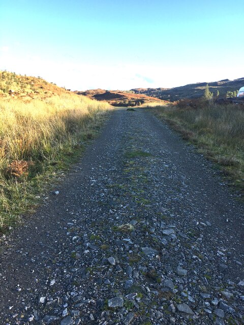
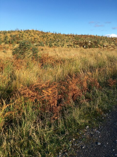
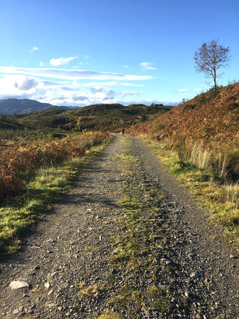
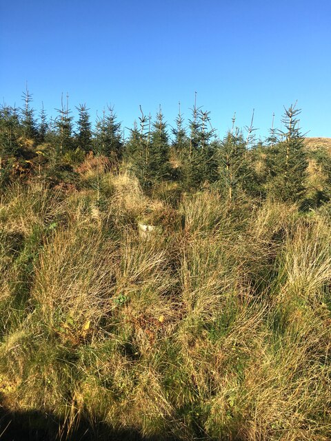
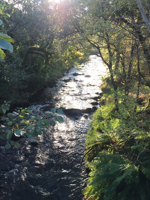
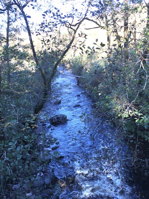
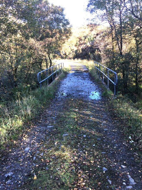
Eilean Mòr Images

Images are sourced within 2km of 57.167274/-5.7033379 or Grid Reference NG7614. Thanks to Geograph Open Source API. All images are credited.

Forestry clearance near Sandaig
Scrub below the road
Sandaig islands
Sandaig islands
Old shelter in Sandaig beach
Gavin Maxwell's Cottage The cottage is at Sandaig but Maxwell called it Camusfeàrna. It is where he wrote  "Ring of Bright Water" a book about his relationship to an Otter, amongst other things.
Gavin Maxwell's Cottage
The cottage is at Sandaig but Maxwell called it Camusfeàrna. It is where he wrote "Ring of Bright Water" a book about his relationship to an Otter, amongst other things.
Looking back to the cottage You need to be careful with the tides when you walk out to this point as it is quite easy to get cut off.
Looking back to the cottage
You need to be careful with the tides when you walk out to this point as it is quite easy to get cut off.
Sandaig Islands
Sandaig Islands
Small Quarry Rock from here is crushed and used to extend the tracks for the timber lorries to reach the remote areas of the forest, being clear felled.
Small Quarry
Rock from here is crushed and used to extend the tracks for the timber lorries to reach the remote areas of the forest, being clear felled.
Track Junction Left here to reach Sandaig. The timber extraction is ongoing down the right hand track.
Track Junction
Left here to reach Sandaig. The timber extraction is ongoing down the right hand track.
Track from Sandaig This whole area was clear felled some years ago, and replanted.
Track from Sandaig
This whole area was clear felled some years ago, and replanted.
The next generation Young pine trees on the hill growing away strongly.
The next generation
Young pine trees on the hill growing away strongly.
Down hill towards Sandaig Strange walking down here with all the trees extracted.
Down hill towards Sandaig
Strange walking down here with all the trees extracted.
Young pine trees Next generation of timber growing strongly.
Young pine trees
Next generation of timber growing strongly.
Allt Mòr Shantaig Looking upstream, just as the sun breaks through.
Allt Mòr Shantaig
Looking upstream, just as the sun breaks through.
Allt Mòr Shantaig Looking downstream on the fast flowing river.
Allt Mòr Shantaig
Looking downstream on the fast flowing river.
Bridge over the Allt Mòr Shantaig
Path down to Sandaig The final section of the route down to Sandaig, is on this slippery when wet narrow path.
Path down to Sandaig
The final section of the route down to Sandaig, is on this slippery when wet narrow path.
View Down towards Sandaig.
View
Down towards Sandaig.
Show me another place!

Eilean Mòr is located at Grid Ref: NG7614 (Lat: 57.167274, Lng: -5.7033379)

Unitary Authority: Highland

Police Authority: Highlands and Islands

What 3 Words

///offer.hillside.roadblock. Near Glenelg, Highland

Related Wikis

Loch na Dal

Loch na Dal (Scottish Gaelic: Loch na Dalach) is a sea loch on the Sleat Peninsula on the Isle of Skye in the Inner Hebrides of Scotland. Kinloch Lodge...

Ornsay

Ornsay is a small tidal island to the east of the Sleat peninsula on the Isle of Skye in the Inner Hebrides of Scotland. == Description == The island provides...

Kylerhea

Kylerhea (Scottish Gaelic: Caol Reatha) is a village on the east coast of the Isle of Skye, in the Scottish Highlands, overlooking Kyle Rhea, a strait...

A851 road

The A851 road is one of the principal roads of the Isle of Skye in the Inner Hebrides off the west coast of mainland Scotland. It connects the ferry port...

Nearby Amenities

Located within 500m of 57.167274,-5.7033379
Seamark Light Character: Fl
Seamark Light Colour: white
Seamark Light Height: 12
Seamark Light Period: 6
Seamark Light Range: 8
Seamark Light Reference: A 3940
Seamark Light Sequence: 0.5+(5.5)
Seamark Name: Sandaig I, NW Point
Seamark Type: light_minor
Source: US NGA Pub. 114. 2011-05-26.
Lat/Long: 57.1675691/-5.7047153
Sandaig Islands
Place: locality
Lat/Long: 57.1671441/-5.7001387
The data included in this document is from www.openstreetmap.org. The data is made available under ODbL.

Have you been to Eilean Mòr?

Leave your review of Eilean Mòr below (or comments, questions and feedback).