An Gurraban

Coastal Feature, Headland, Point in Inverness-shire

Scotland

An Gurraban

Forestry clearance near Sandaig
Forestry clearance near Sandaig Credit: David Medcalf

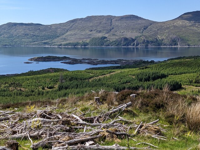
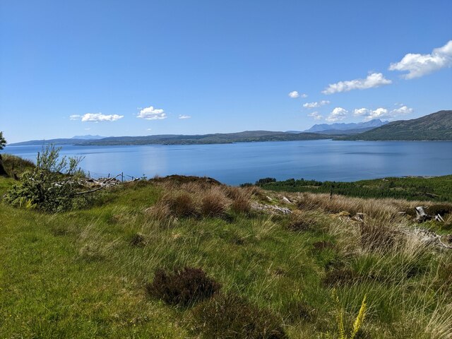
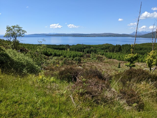
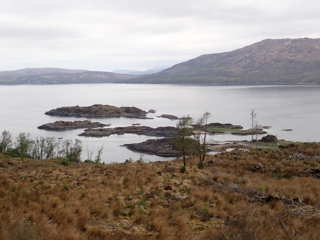
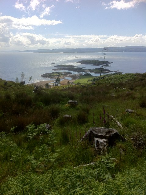
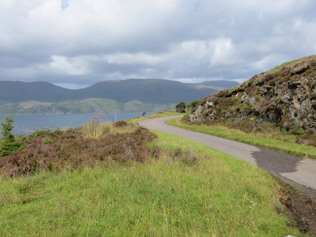
An Gurraban is a prominent headland located on the western coast of Inverness-shire, Scotland. This coastal feature juts out into the Atlantic Ocean, offering stunning views of the surrounding rugged coastline and the open sea.

The name "An Gurraban" is Gaelic in origin and translates to "the pointed or hooked nose," which accurately describes the shape of this headland. The rocky cliffs of An Gurraban are a popular spot for birdwatching, as they provide nesting sites for various seabird species such as gannets, puffins, and razorbills.

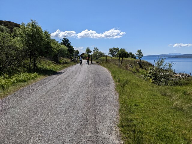
In addition to its natural beauty, An Gurraban is also steeped in history. The headland is home to ancient ruins and archaeological sites, including a well-preserved Iron Age fort. Visitors can explore these remnants of the past while taking in the breathtaking views of the surrounding landscape.

Overall, An Gurraban is a must-visit destination for nature lovers, history enthusiasts, and anyone looking to experience the wild beauty of the Scottish coast. Its dramatic cliffs, diverse wildlife, and rich history make it a truly unique and captivating place to explore.

If you have any feedback on the listing, please let us know in the comments section below.
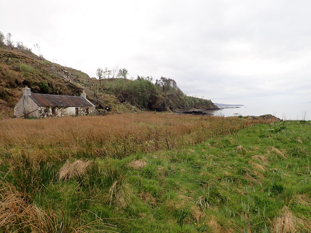
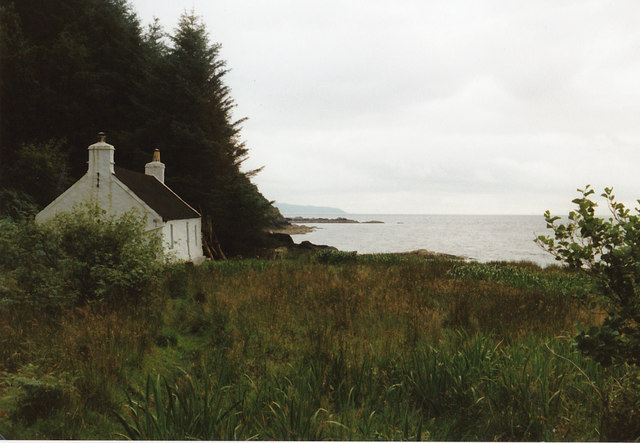
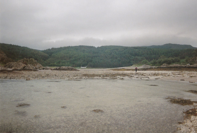
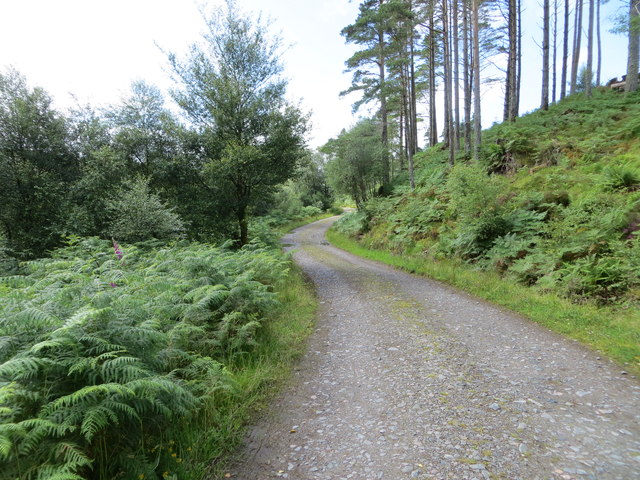
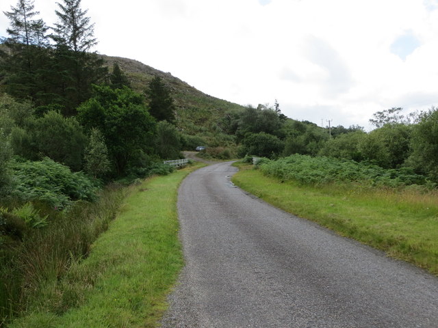
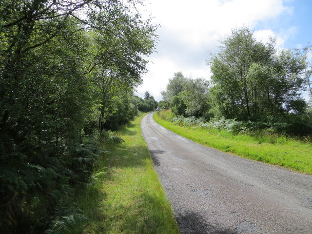
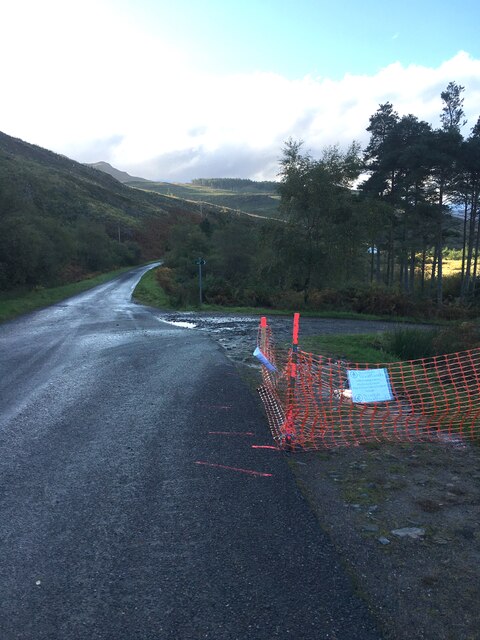
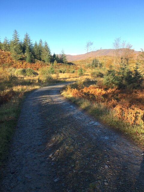
An Gurraban Images

Images are sourced within 2km of 57.170289/-5.6928818 or Grid Reference NG7614. Thanks to Geograph Open Source API. All images are credited.

Forestry clearance near Sandaig
Looking down on the Sound of Sleat
The road to Arnisdale
A passing-place on the Arnisdale road
Scrub below the road
Upper Sandaig
Upper Sandaig
The forestry track leading near to Sandaig
Sandaig islands
Sandaig islands
Old shelter in Sandaig beach
Gavin Maxwell's Cottage The cottage is at Sandaig but Maxwell called it Camusfeàrna. It is where he wrote  "Ring of Bright Water" a book about his relationship to an Otter, amongst other things.
Gavin Maxwell's Cottage
The cottage is at Sandaig but Maxwell called it Camusfeàrna. It is where he wrote "Ring of Bright Water" a book about his relationship to an Otter, amongst other things.
Looking back to the cottage You need to be careful with the tides when you walk out to this point as it is quite easy to get cut off.
Looking back to the cottage
You need to be careful with the tides when you walk out to this point as it is quite easy to get cut off.
Sandaig Islands
Sandaig Islands
Footpath making use of a woodland track as it descends to Sandaig Looking south-westward.
Footpath making use of a woodland track as it descends to Sandaig
Looking south-westward.
Minor road and bridge crossing Allt Mor Shantaig at Upper Sandaig Looking south-westward.
Minor road and bridge crossing Allt Mor Shantaig at Upper Sandaig
Looking south-westward.
Minor road near its crossing of Allt a' Ghoirtean Looking southward.
Minor road near its crossing of Allt a' Ghoirtean
Looking southward.
Minor road to the west of Mam an Staing Looking north-westward across the Sound of Sleat to Skye
Minor road to the west of Mam an Staing
Looking north-westward across the Sound of Sleat to Skye
Parking area for the walk down to Sandaig The road heads towards Arnisdale and Road end at Corran.
Parking area for the walk down to Sandaig
The road heads towards Arnisdale and Road end at Corran.
Wood extraction track Also the route down to Sandaig. Not the original route not nearly as interesting.
Wood extraction track
Also the route down to Sandaig. Not the original route not nearly as interesting.
Show me another place!

An Gurraban is located at Grid Ref: NG7614 (Lat: 57.170289, Lng: -5.6928818)

Unitary Authority: Highland

Police Authority: Highlands and Islands

What 3 Words

///sparkles.puzzles.successor. Near Glenelg, Highland

Related Wikis

Kylerhea

Kylerhea (Scottish Gaelic: Caol Reatha) is a village on the east coast of the Isle of Skye, in the Scottish Highlands, overlooking Kyle Rhea, a strait...

Beinn a' Chapuill

Beinn a' Chapuill (759 m) is a mountain in the Northwest Highlands of Scotland. It is located in Ross and Cromarty, close to the community of Glenelg....

Loch na Dal

Loch na Dal (Scottish Gaelic: Loch na Dalach) is a sea loch on the Sleat Peninsula on the Isle of Skye in the Inner Hebrides of Scotland. Kinloch Lodge...

Glenelg Church

Glenelg Church is a Category B listed building in Glenelg, Highland, Scotland. Of Church of Scotland denomination, the church dates to the 18th century...

Nearby Amenities

Located within 500m of 57.170289,-5.6928818
Barrier: stile
Source: survey
Lat/Long: 57.1697099/-5.6865105
Gavin Maxwell memorial
Historic: memorial
Source: survey
Lat/Long: 57.1693118/-5.6868227
Edal memorial
Historic: memorial
Source: survey
Lat/Long: 57.1694567/-5.6865574
Sandaig
Name Gd: Sanndaig
Place: locality
Lat/Long: 57.168895/-5.6866497
An Gurraban
Ele: 12
Natural: cape
Lat/Long: 57.1692323/-5.6922287
The data included in this document is from www.openstreetmap.org. The data is made available under ODbL.

Have you been to An Gurraban?

Leave your review of An Gurraban below (or comments, questions and feedback).