Sandaig Islands

Island Group in Inverness-shire

Scotland

Sandaig Islands

Looking down on Eilean Chlamail
Looking down on Eilean Chlamail Credit: David Medcalf

The requested URL returned error: 429 Too Many Requests

If you have any feedback on the listing, please let us know in the comments section below.

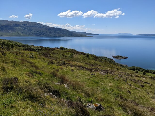
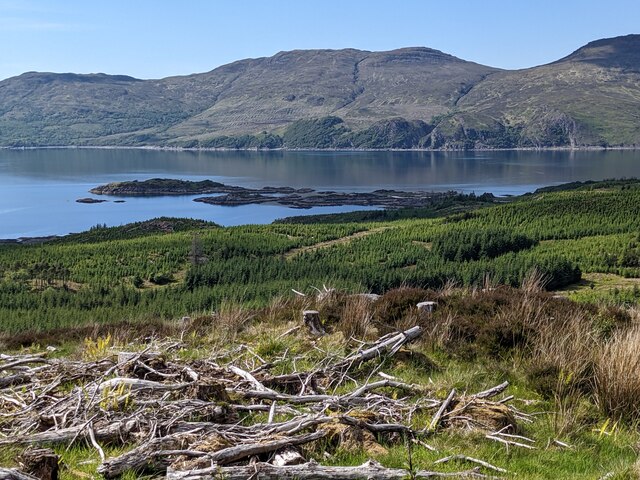
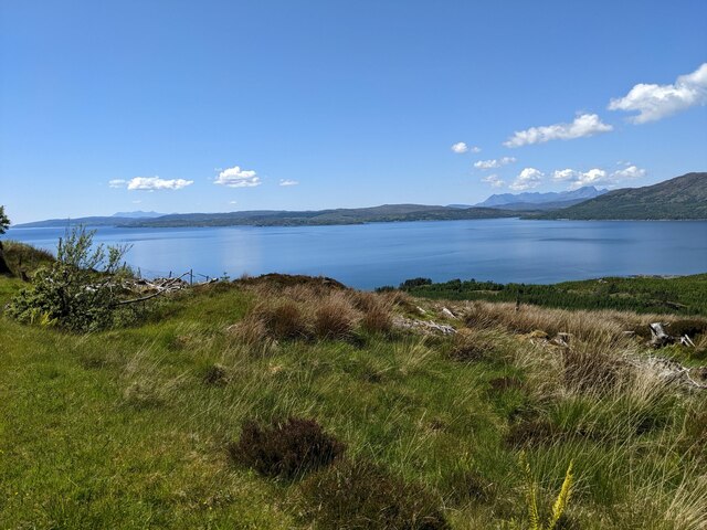
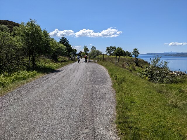
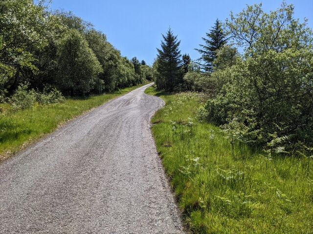
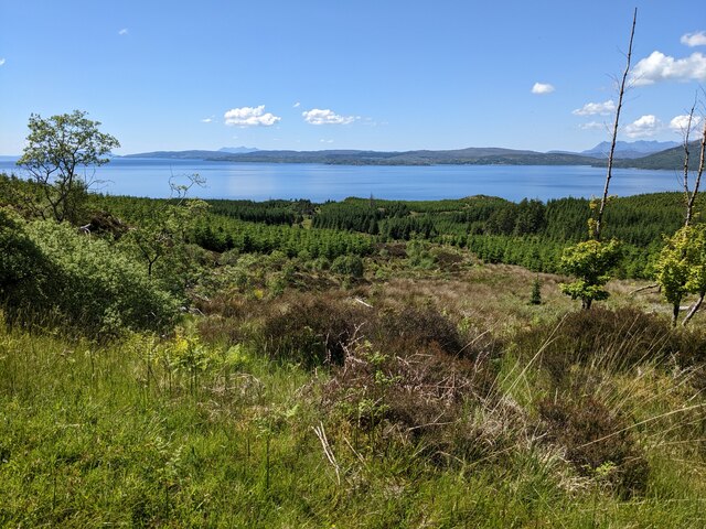
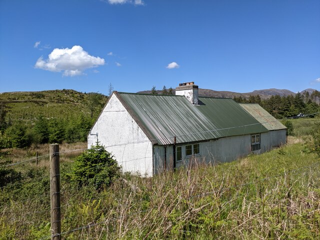
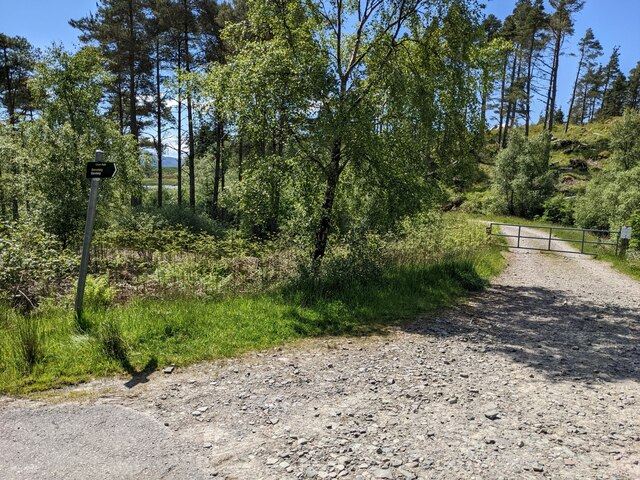
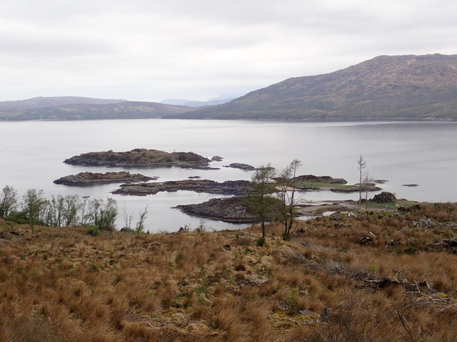
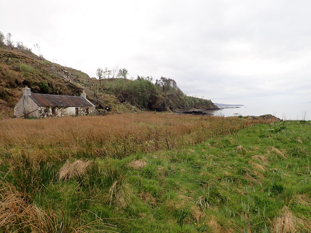
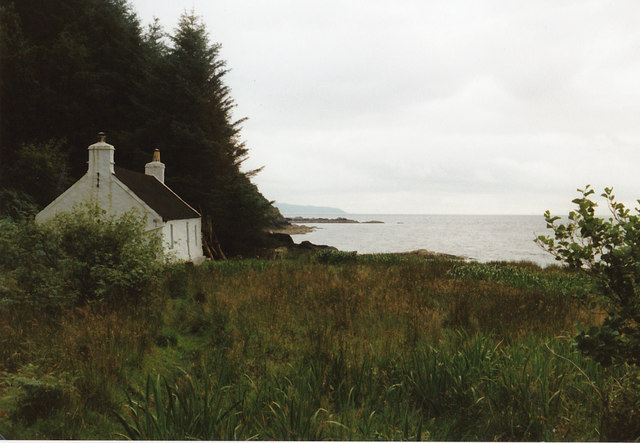
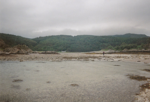
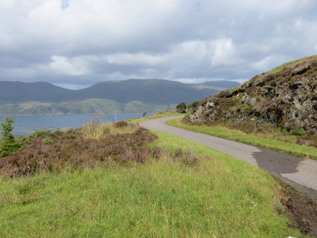
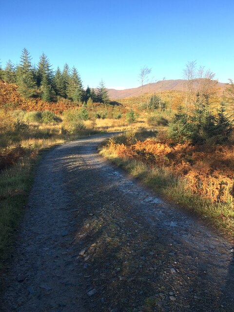
Sandaig Islands Images

Images are sourced within 2km of 57.167165/-5.6988255 or Grid Reference NG7614. Thanks to Geograph Open Source API. All images are credited.

Looking down on Eilean Chlamail
Forestry clearance near Sandaig
Looking down on the Sound of Sleat
The road to Arnisdale
A passing-place on the Arnisdale road
Scrub below the road
Upper Sandaig
Upper Sandaig
The forestry track leading near to Sandaig
Sandaig islands
Sandaig islands
Old shelter in Sandaig beach
Gavin Maxwell's Cottage The cottage is at Sandaig but Maxwell called it Camusfeàrna. It is where he wrote  "Ring of Bright Water" a book about his relationship to an Otter, amongst other things.
Gavin Maxwell's Cottage
The cottage is at Sandaig but Maxwell called it Camusfeàrna. It is where he wrote "Ring of Bright Water" a book about his relationship to an Otter, amongst other things.
Looking back to the cottage You need to be careful with the tides when you walk out to this point as it is quite easy to get cut off.
Looking back to the cottage
You need to be careful with the tides when you walk out to this point as it is quite easy to get cut off.
Sandaig Islands
Sandaig Islands
Footpath making use of a woodland track as it descends to Sandaig Looking south-westward.
Footpath making use of a woodland track as it descends to Sandaig
Looking south-westward.
Minor road and bridge crossing Allt Mor Shantaig at Upper Sandaig Looking south-westward.
Minor road and bridge crossing Allt Mor Shantaig at Upper Sandaig
Looking south-westward.
Minor road near its crossing of Allt a' Ghoirtean Looking southward.
Minor road near its crossing of Allt a' Ghoirtean
Looking southward.
Minor road to the west of Mam an Staing Looking north-westward across the Sound of Sleat to Skye
Minor road to the west of Mam an Staing
Looking north-westward across the Sound of Sleat to Skye
Wood extraction track Also the route down to Sandaig. Not the original route not nearly as interesting.
Wood extraction track
Also the route down to Sandaig. Not the original route not nearly as interesting.
Show me another place!

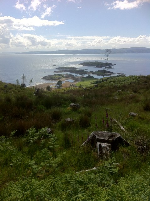
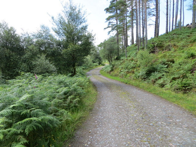
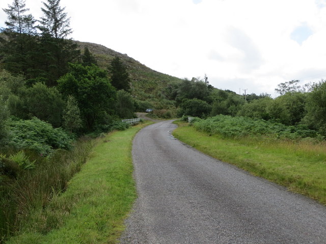
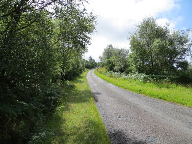
Sandaig Islands is located at Grid Ref: NG7614 (Lat: 57.167165, Lng: -5.6988255)

Unitary Authority: Highland

Police Authority: Highlands and Islands

What 3 Words

///leathers.brush.float. Near Glenelg, Highland

Related Wikis

Loch na Dal

Loch na Dal (Scottish Gaelic: Loch na Dalach) is a sea loch on the Sleat Peninsula on the Isle of Skye in the Inner Hebrides of Scotland. Kinloch Lodge...

Ornsay

Ornsay is a small tidal island to the east of the Sleat peninsula on the Isle of Skye in the Inner Hebrides of Scotland. == Description == The island provides...

Kylerhea

Kylerhea (Scottish Gaelic: Caol Reatha) is a village on the east coast of the Isle of Skye, in the Scottish Highlands, overlooking Kyle Rhea, a strait...

Beinn a' Chapuill

Beinn a' Chapuill (759 m) is a mountain in the Northwest Highlands of Scotland. It is located in Ross and Cromarty, close to the community of Glenelg....

Nearby Amenities

Located within 500m of 57.167165,-5.6988255
Seamark Light Character: Fl
Seamark Light Colour: white
Seamark Light Height: 12
Seamark Light Period: 6
Seamark Light Range: 8
Seamark Light Reference: A 3940
Seamark Light Sequence: 0.5+(5.5)
Seamark Name: Sandaig I, NW Point
Seamark Type: light_minor
Source: US NGA Pub. 114. 2011-05-26.
Lat/Long: 57.1675691/-5.7047153
Sandaig Islands
Place: locality
Lat/Long: 57.1671441/-5.7001387
An Gurraban
Ele: 12
Natural: cape
Lat/Long: 57.1692323/-5.6922287
The data included in this document is from www.openstreetmap.org. The data is made available under ODbL.

Have you been to Sandaig Islands?

Leave your review of Sandaig Islands below (or comments, questions and feedback).