Fraoch Eilean
Island in Inverness-shire
Scotland
Fraoch Eilean
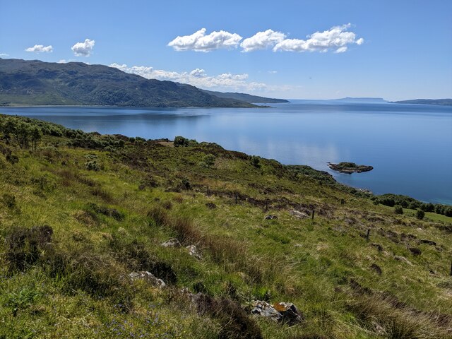
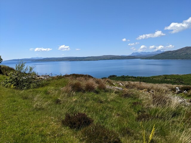
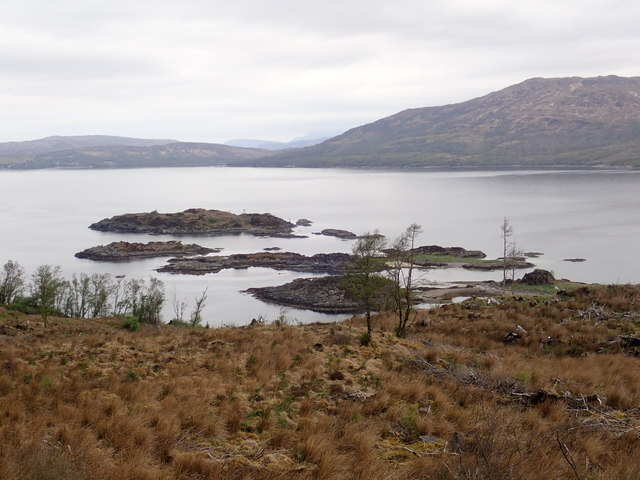
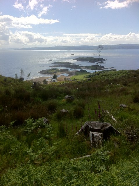
Fraoch Eilean is a small island located in Inverness-shire, Scotland. Situated in the middle of Loch Ailort, it is approximately 2.5 miles long and 1 mile wide, making it an ideal destination for those seeking a peaceful retreat in the stunning Scottish Highlands.
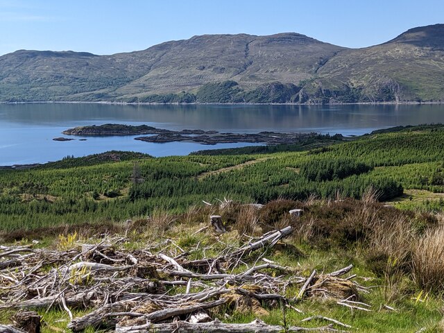
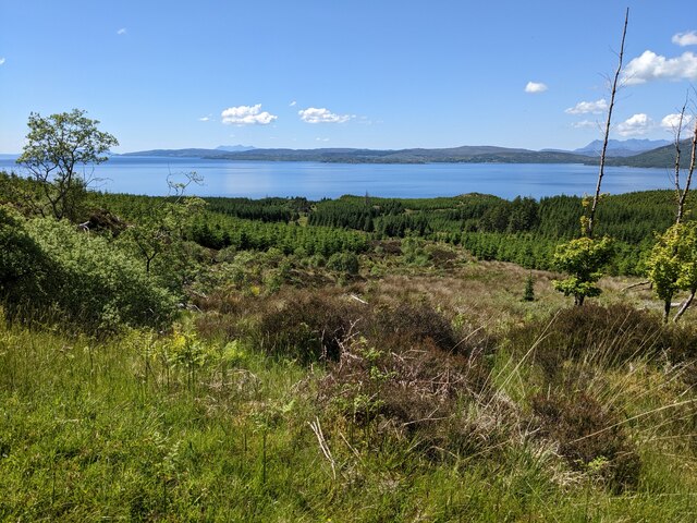
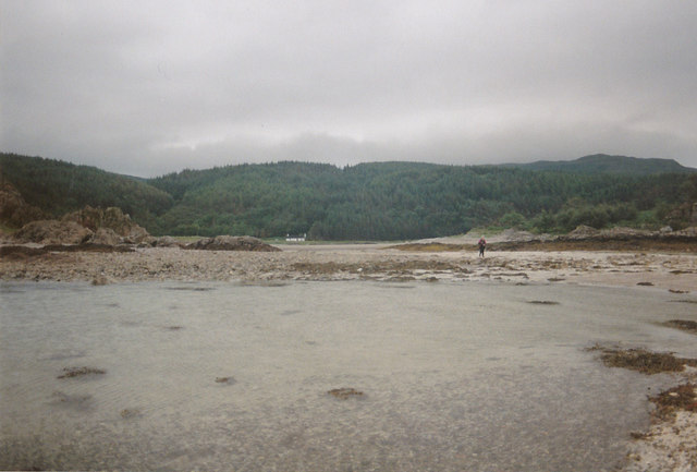
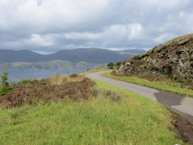
The island is known for its rugged and unspoiled natural beauty. Its landscape is characterized by rolling hills, rocky cliffs, and picturesque sandy beaches. The surrounding waters of Loch Ailort are teeming with marine life, making it a popular spot for fishing and wildlife enthusiasts. Visitors can spot a variety of seabirds, seals, and even the occasional otter.
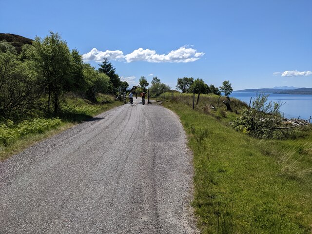
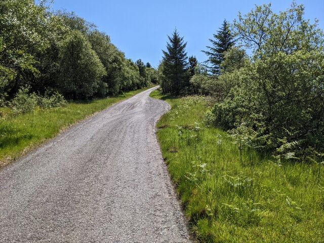
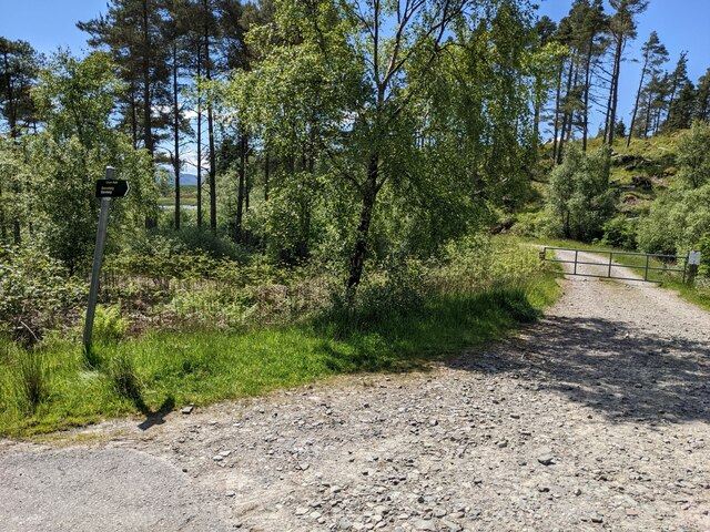
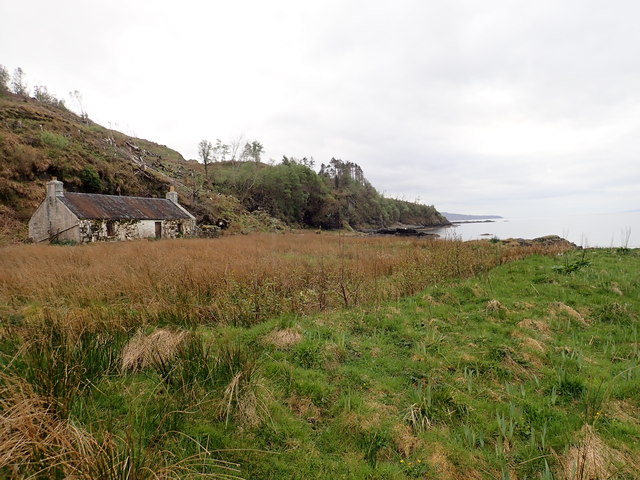
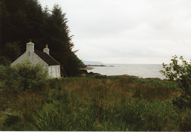
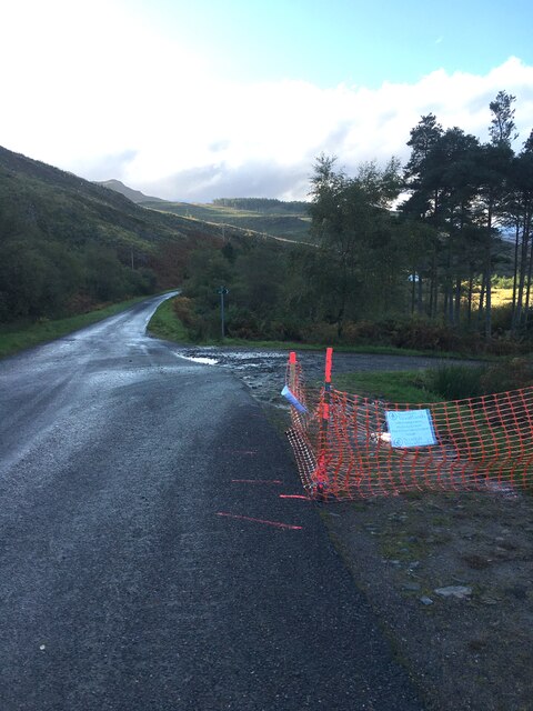
Access to Fraoch Eilean is limited, as it is only reachable by boat. However, once on the island, visitors can explore its network of walking trails that wind through its diverse terrain. The island is home to a rich array of flora and fauna, including rare orchids and wildflowers. The panoramic views from the island's highest point, known as Cnoc na h-Iolaire, are simply breathtaking.
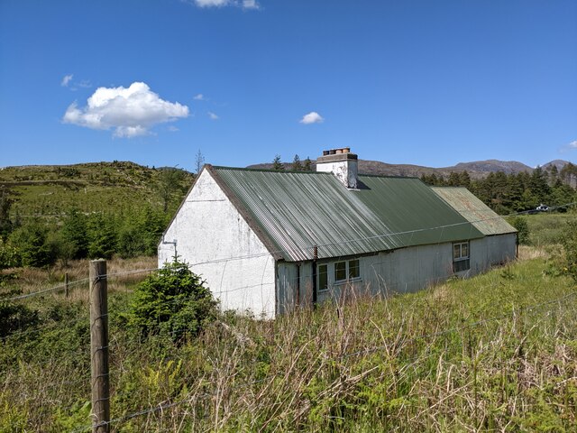
Despite its secluded location, Fraoch Eilean offers a range of accommodation options for those wishing to stay overnight. From cozy cottages to camping sites, visitors can find a place to suit their preferences. The island's tranquil atmosphere and lack of light pollution also make it an ideal spot for stargazing.
Fraoch Eilean is a hidden gem in the heart of the Scottish Highlands, offering a unique and immersive experience for nature lovers and those seeking a peaceful escape from the hustle and bustle of everyday life.
If you have any feedback on the listing, please let us know in the comments section below.
Fraoch Eilean Images
Images are sourced within 2km of 57.166745/-5.6981216 or Grid Reference NG7614. Thanks to Geograph Open Source API. All images are credited.
Fraoch Eilean is located at Grid Ref: NG7614 (Lat: 57.166745, Lng: -5.6981216)
Unitary Authority: Highland
Police Authority: Highlands and Islands
What 3 Words
///raking.career.simmer. Near Glenelg, Highland
Nearby Locations
Related Wikis

Loch na Dal
Loch na Dal (Scottish Gaelic: Loch na Dalach) is a sea loch on the Sleat Peninsula on the Isle of Skye in the Inner Hebrides of Scotland. Kinloch Lodge...

Ornsay
Ornsay is a small tidal island to the east of the Sleat peninsula on the Isle of Skye in the Inner Hebrides of Scotland. == Description == The island provides...

Kylerhea
Kylerhea (Scottish Gaelic: Caol Reatha) is a village on the east coast of the Isle of Skye, in the Scottish Highlands, overlooking Kyle Rhea, a strait...

Beinn a' Chapuill
Beinn a' Chapuill (759 m) is a mountain in the Northwest Highlands of Scotland. It is located in Ross and Cromarty, close to the community of Glenelg....
Nearby Amenities
Located within 500m of 57.166745,-5.6981216Have you been to Fraoch Eilean?
Leave your review of Fraoch Eilean below (or comments, questions and feedback).