Sgeir nan Eun

Island in Inverness-shire

Scotland

Sgeir nan Eun

Looking down on Eilean Chlamail
Looking down on Eilean Chlamail Credit: David Medcalf

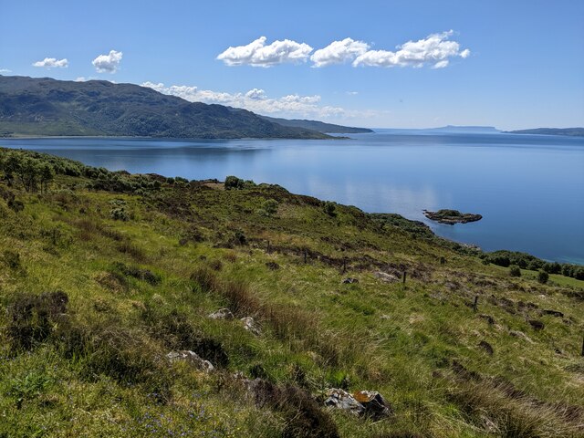
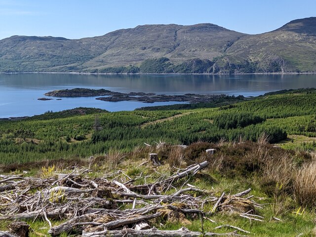
Sgeir nan Eun is a small uninhabited island located in the Inner Hebrides of Scotland, specifically in Inverness-shire. Situated in the Atlantic Ocean, it is part of the archipelago known as the Small Isles. The island is approximately 2 miles off the coast of the Isle of Eigg and spans an area of about 12 hectares.

Sgeir nan Eun is a rugged and rocky island, characterized by its steep cliffs and jagged coastline. Its name, which translates to "rock of the birds" in Gaelic, is fitting as the island is renowned for its abundant birdlife. Various species of seabirds can be found nesting and roosting on the cliffs, including guillemots, razorbills, puffins, and kittiwakes. The island also serves as an important breeding ground for several species of gulls.

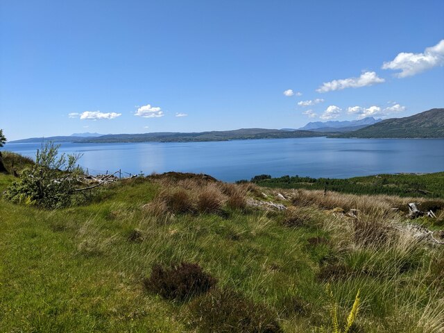
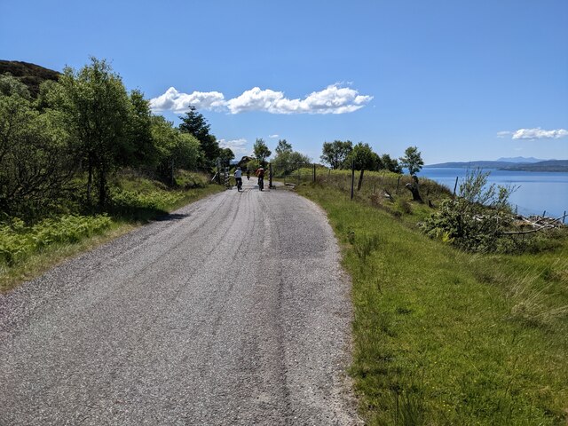
Access to Sgeir nan Eun is challenging due to its remote location and lack of regular transportation. The island is primarily visited by birdwatchers, wildlife enthusiasts, and occasional boaters who are drawn to its natural beauty and biodiversity. The surrounding waters offer opportunities for fishing and observing marine life, such as seals and dolphins.

Given its protected status, Sgeir nan Eun is a designated Site of Special Scientific Interest (SSSI) to safeguard its unique ecosystem and ensure the conservation of its diverse bird population.

If you have any feedback on the listing, please let us know in the comments section below.

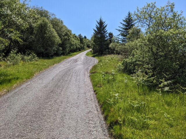
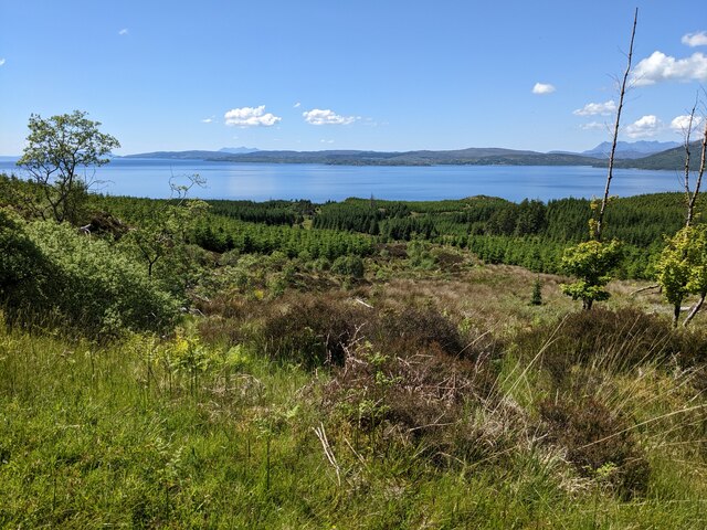
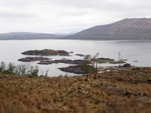
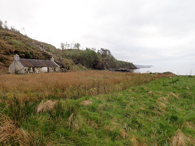
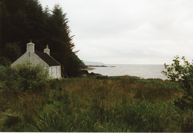
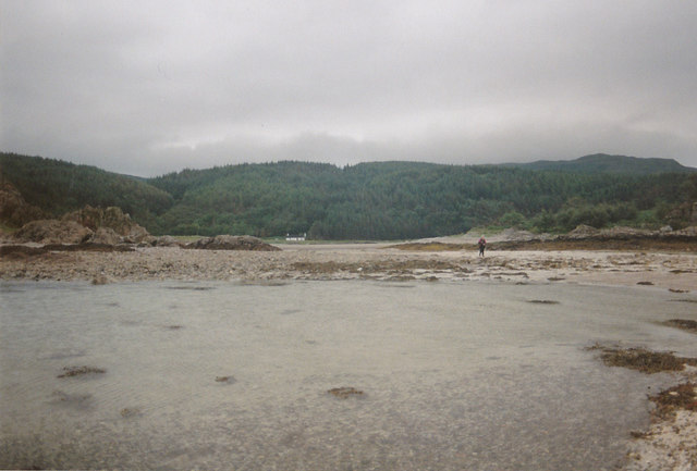
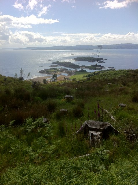
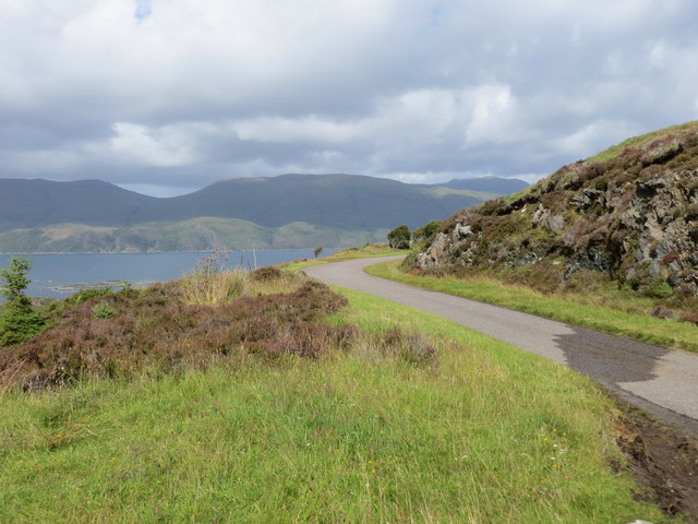
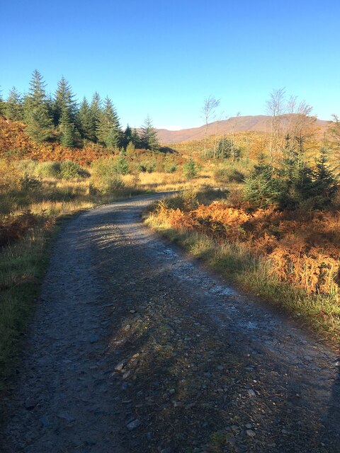
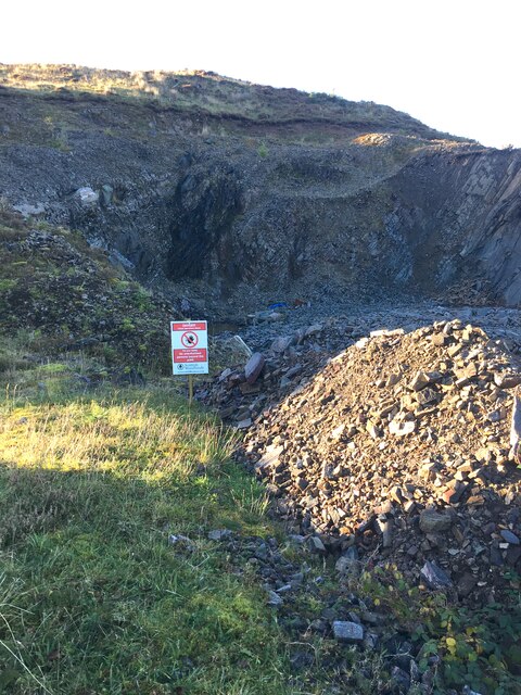
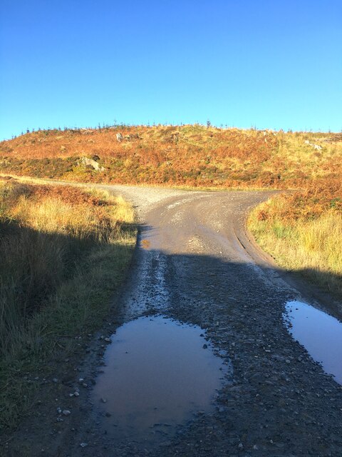
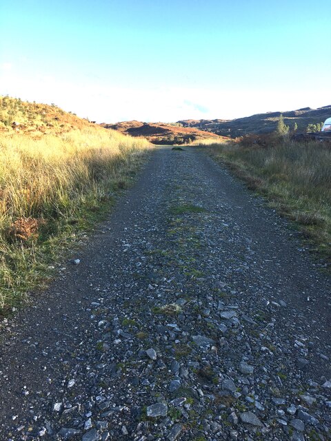
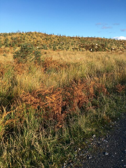
Sgeir nan Eun Images

Images are sourced within 2km of 57.164995/-5.7007599 or Grid Reference NG7614. Thanks to Geograph Open Source API. All images are credited.

Looking down on Eilean Chlamail
Forestry clearance near Sandaig
Looking down on the Sound of Sleat
The road to Arnisdale
A passing-place on the Arnisdale road
Scrub below the road
Sandaig islands
Sandaig islands
Old shelter in Sandaig beach
Gavin Maxwell's Cottage The cottage is at Sandaig but Maxwell called it Camusfeàrna. It is where he wrote  "Ring of Bright Water" a book about his relationship to an Otter, amongst other things.
Gavin Maxwell's Cottage
The cottage is at Sandaig but Maxwell called it Camusfeàrna. It is where he wrote "Ring of Bright Water" a book about his relationship to an Otter, amongst other things.
Looking back to the cottage You need to be careful with the tides when you walk out to this point as it is quite easy to get cut off.
Looking back to the cottage
You need to be careful with the tides when you walk out to this point as it is quite easy to get cut off.
Sandaig Islands
Sandaig Islands
Minor road near its crossing of Allt a' Ghoirtean Looking southward.
Minor road near its crossing of Allt a' Ghoirtean
Looking southward.
Minor road to the west of Mam an Staing Looking north-westward across the Sound of Sleat to Skye
Minor road to the west of Mam an Staing
Looking north-westward across the Sound of Sleat to Skye
Wood extraction track Also the route down to Sandaig. Not the original route not nearly as interesting.
Wood extraction track
Also the route down to Sandaig. Not the original route not nearly as interesting.
Small Quarry Rock from here is crushed and used to extend the tracks for the timber lorries to reach the remote areas of the forest, being clear felled.
Small Quarry
Rock from here is crushed and used to extend the tracks for the timber lorries to reach the remote areas of the forest, being clear felled.
Track Junction Left here to reach Sandaig. The timber extraction is ongoing down the right hand track.
Track Junction
Left here to reach Sandaig. The timber extraction is ongoing down the right hand track.
Track from Sandaig This whole area was clear felled some years ago, and replanted.
Track from Sandaig
This whole area was clear felled some years ago, and replanted.
The next generation Young pine trees on the hill growing away strongly.
The next generation
Young pine trees on the hill growing away strongly.
Show me another place!

Sgeir nan Eun is located at Grid Ref: NG7614 (Lat: 57.164995, Lng: -5.7007599)

Unitary Authority: Highland

Police Authority: Highlands and Islands

What 3 Words

///large.clincher.tooth. Near Glenelg, Highland

Related Wikis

Ornsay

Ornsay is a small tidal island to the east of the Sleat peninsula on the Isle of Skye in the Inner Hebrides of Scotland. == Description == The island provides...

Loch na Dal

Loch na Dal (Scottish Gaelic: Loch na Dalach) is a sea loch on the Sleat Peninsula on the Isle of Skye in the Inner Hebrides of Scotland. Kinloch Lodge...

A851 road

The A851 road is one of the principal roads of the Isle of Skye in the Inner Hebrides off the west coast of mainland Scotland. It connects the ferry port...

Té Bheag

Té Bheag (Scottish Gaelic pronunciation: [ˈtʲʰeː ˈvek]) is a blended Scotch whisky made by Pràban na Linne Ltd in Scotland. It is one of Sir Iain Noble...

Nearby Amenities

Located within 500m of 57.164995,-5.7007599
Seamark Light Character: Fl
Seamark Light Colour: white
Seamark Light Height: 12
Seamark Light Period: 6
Seamark Light Range: 8
Seamark Light Reference: A 3940
Seamark Light Sequence: 0.5+(5.5)
Seamark Name: Sandaig I, NW Point
Seamark Type: light_minor
Source: US NGA Pub. 114. 2011-05-26.
Lat/Long: 57.1675691/-5.7047153
Sandaig Islands
Place: locality
Lat/Long: 57.1671441/-5.7001387
The data included in this document is from www.openstreetmap.org. The data is made available under ODbL.

Have you been to Sgeir nan Eun?

Leave your review of Sgeir nan Eun below (or comments, questions and feedback).