Sgeir Ghlas

Island in Ross-shire

Scotland

Sgeir Ghlas

North Applecross coast road near Camas an Eilean
North Applecross coast road near Camas an Eilean Credit: Alpin Stewart

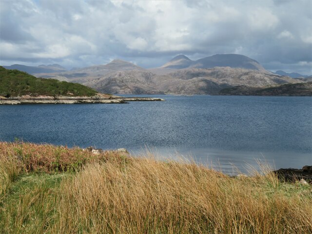
Sgeir Ghlas is a small island located off the coast of Ross-shire in the Scottish Highlands. This uninhabited island is situated in the Inner Sound, between the larger islands of Skye and Raasay. The name Sgeir Ghlas translates to "green skerry" in Scottish Gaelic, which accurately describes its appearance.

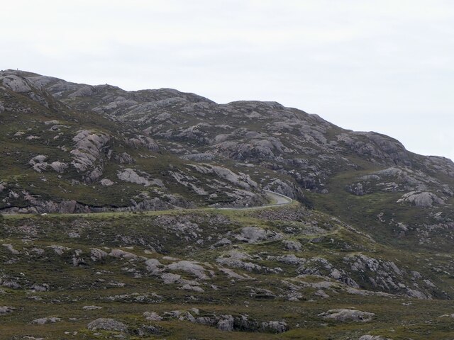
Covering an area of approximately 8 hectares, Sgeir Ghlas is characterized by its rugged and rocky terrain. The island is mostly composed of exposed bedrock, with sparse vegetation consisting of grasses, mosses, and lichens. Its coastal areas are particularly notable, featuring steep cliffs and sea stacks formed by centuries of erosion.

The island is a haven for seabirds, making it an important nesting site. Species such as guillemots, razorbills, puffins, and kittiwakes can be found here, filling the air with their calls during the breeding season. The waters surrounding Sgeir Ghlas are also known to support a diverse marine ecosystem, attracting seals, dolphins, and various fish species.

Despite its small size and lack of human inhabitants, Sgeir Ghlas holds historical significance. It is believed to have been a hunting ground for ancient settlers, with archaeological evidence suggesting human activity dating back thousands of years. Today, the island is primarily visited by wildlife enthusiasts, birdwatchers, and photographers who are captivated by its natural beauty.

In summary, Sgeir Ghlas is a picturesque and ecologically diverse island off the coast of Ross-shire. Its rugged landscape, abundant seabird colonies, and rich marine life make it a fascinating destination for nature lovers seeking a remote and untouched environment.

If you have any feedback on the listing, please let us know in the comments section below.

Sgeir Ghlas Images

Images are sourced within 2km of 57.553177/-5.7404943 or Grid Reference NG7657. Thanks to Geograph Open Source API. All images are credited.

North Applecross coast road near Camas an Eilean
The "new" road to Applecross Built in the 1970s as an alternative to the Bealach na Bà.
The "new" road to Applecross
Built in the 1970s as an alternative to the Bealach na Bà.
Loch a' Chracaich The loch is an inlet off the much larger Loch Torridon. The more distant view ranges from the crinkly ridge of Baosbheinn on the far left, the small dome of An Ruadh-mheallan left of centre and the twin tops of Beinn Alligin, a double Munro in the centre-right.
Loch a' Chracaich
The loch is an inlet off the much larger Loch Torridon. The more distant view ranges from the crinkly ridge of Baosbheinn on the far left, the small dome of An Ruadh-mheallan left of centre and the twin tops of Beinn Alligin, a double Munro in the centre-right.
Shoreline and houses at Kenmore Pre 1976, Kenmore was the furthest one could travel by car from Shieldaig along the north coast of the Applecross peninsula, but the opening of the new road changed all that and also helped to save small communities along the coast. My OS 1:25000 map of 2002 vintage doesn't even show the tarmacked road leading down to the village and bay. perhaps the OS didn't want anyone going there!
Shoreline and houses at Kenmore
Pre 1976, Kenmore was the furthest one could travel by car from Shieldaig along the north coast of the Applecross peninsula, but the opening of the new road changed all that and also helped to save small communities along the coast. My OS 1:25000 map of 2002 vintage doesn't even show the tarmacked road leading down to the village and bay. perhaps the OS didn't want anyone going there!
Shed and boat, Kenmore Rusty 'tin' structures are common in the western Highlands and seem to add something to the scene, which here extends across the wooded headland to the distant slopes of  Sgurr Mhor [left] and Tom na Gruagaich [right] which form the twin summits and Munros of Beinn Alligin.
Shed and boat, Kenmore
Rusty 'tin' structures are common in the western Highlands and seem to add something to the scene, which here extends across the wooded headland to the distant slopes of Sgurr Mhor [left] and Tom na Gruagaich [right] which form the twin summits and Munros of Beinn Alligin.
Every convenience in Kenmore The telephone kiosk appears to be in working order, but the same cannot be said about the sanitary ware nearby.
Every convenience in Kenmore
The telephone kiosk appears to be in working order, but the same cannot be said about the sanitary ware nearby.
Tin roofed barn at Kenmore A corrugated iron roof on what might be a barn, boat house, or fisherman's store. The view is eastwards towards the big mountains of Torridon, with twin peaked Beinn Alligin to the left and the western end of Liathach in the centre
Tin roofed barn at Kenmore
A corrugated iron roof on what might be a barn, boat house, or fisherman's store. The view is eastwards towards the big mountains of Torridon, with twin peaked Beinn Alligin to the left and the western end of Liathach in the centre
Hillside above Ardheslaig The white painted houses of this little settlement are in the adjoining square, whilst the longer view takes in the narrows between upper and lower Loch Torridon. Beyond that are the rounded flanks of Tom na Gruagaich, the lower of Beinn Alligin's two Munro summits, whilst to the right under the cloud is Liathach.
Hillside above Ardheslaig
The white painted houses of this little settlement are in the adjoining square, whilst the longer view takes in the narrows between upper and lower Loch Torridon. Beyond that are the rounded flanks of Tom na Gruagaich, the lower of Beinn Alligin's two Munro summits, whilst to the right under the cloud is Liathach.
View to Loch Beag Loch Beag ['small loch'] is the area of water nearest to the camera, beyond which is outer Loch Torridon and the wild coast beyond. Houses at Lower Diabaig are visible to the right, but the view doesn't stretch along the coast as far as the bothy at Craig.
View to Loch Beag
Loch Beag ['small loch'] is the area of water nearest to the camera, beyond which is outer Loch Torridon and the wild coast beyond. Houses at Lower Diabaig are visible to the right, but the view doesn't stretch along the coast as far as the bothy at Craig.
Lay-by on the Applecross road The waters of the Inner Sound in the distance.
Lay-by on the Applecross road
The waters of the Inner Sound in the distance.
Kenmore from the west
Old Milestone by track on A' Bhainlir, Applecross Parish By the track, in parish of Applecross (District), line of track, now footpath round shoulder of A' Bhainlir.

Surveyed

Milestone Society National ID: HI_APSD17
Old Milestone by track on A' Bhainlir, Applecross Parish
By the track, in parish of Applecross (District), line of track, now footpath round shoulder of A' Bhainlir. Surveyed Milestone Society National ID: HI_APSD17
View towards Kenmore and Loch a' Chracaich Loch a' Chracaich is a small inlet on the southern shore of Loch Torridon, a sea loch.
A' Bhainlir is the small hill on the other side of the bay.
View towards Kenmore and Loch a' Chracaich
Loch a' Chracaich is a small inlet on the southern shore of Loch Torridon, a sea loch. A' Bhainlir is the small hill on the other side of the bay.
Coastal Road round the Applecross Peninsula View east towards Loch Beag, an inlet from Loch Torridon, a sea loch which can just be seen beyond that.
Coastal Road round the Applecross Peninsula
View east towards Loch Beag, an inlet from Loch Torridon, a sea loch which can just be seen beyond that.
Path to Ardheslaig
Path to Ardheslaig
Road to Kenmore
Road to Kenmore
Gate in bracken
Gate in bracken
Sheepfold, Kenmore
Sheepfold, Kenmore
Show me another place!

Sgeir Ghlas is located at Grid Ref: NG7657 (Lat: 57.553177, Lng: -5.7404943)

Unitary Authority: Highland

Police Authority: Highlands and Islands

What 3 Words

///dignify.spreads.inhaler. Near Gairloch, Highland

Related Wikis

Ardheslaig

Ardheslaig (Scottish Gaelic: Àird Heisleag) is a crofting settlement at the northern end of the Applecross peninsula in the Scottish Highlands. It is 3...
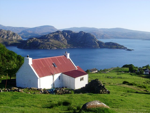
Loch Torridon

Loch Torridon (Scottish Gaelic: Loch Thoirbheartan) is a sea loch on the west coast of Scotland in the Northwest Highlands. The loch was created by glacial...
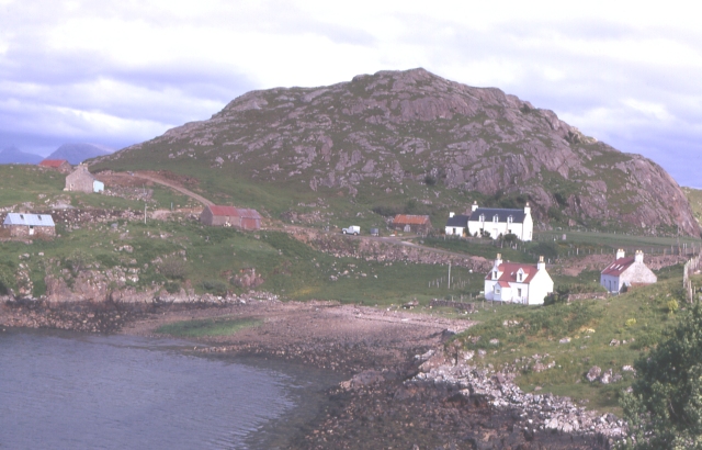
Diabaig

Diabaig (Scottish Gaelic: Dìobaig) is a remote coastal fishing and crofting township in Wester Ross, in the Northwest Highlands of Scotland. Diabaig lies...
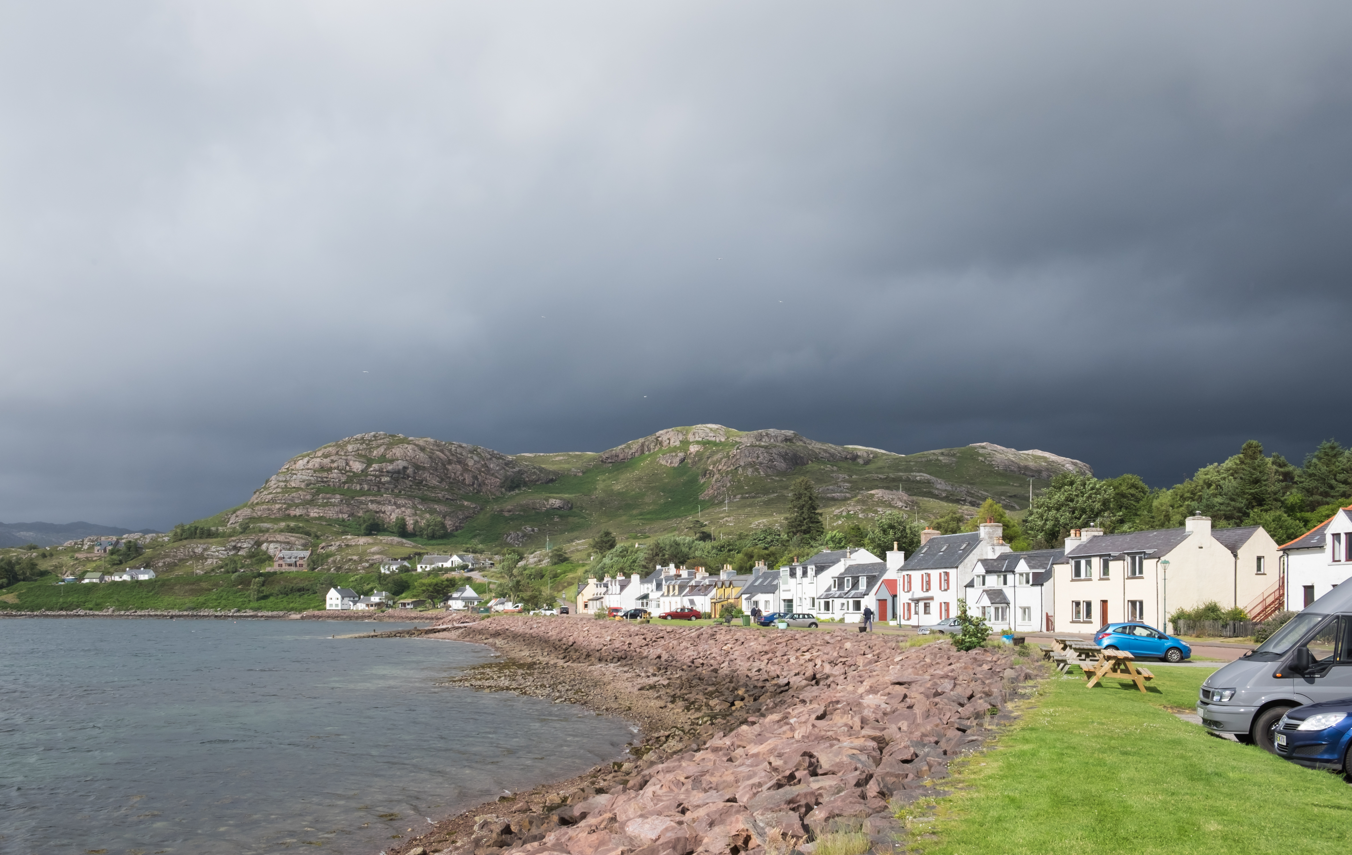
Shieldaig

Shieldaig (Scottish Gaelic: Sìldeag; Old Norse: síld-vík, lit. 'herring bay') is a village in Wester Ross in the Northwest Highlands, in the Scottish council...

Nearby Amenities

Located within 500m of 57.553177,-5.7404943
Loch a' Chracaich
Natural: bay
Lat/Long: 57.5500567/-5.7365799
The data included in this document is from www.openstreetmap.org. The data is made available under ODbL.

Have you been to Sgeir Ghlas?

Leave your review of Sgeir Ghlas below (or comments, questions and feedback).