Sròn a' Cheanna-Mhuir
Island in Ross-shire
Scotland
Sròn a' Cheanna-Mhuir

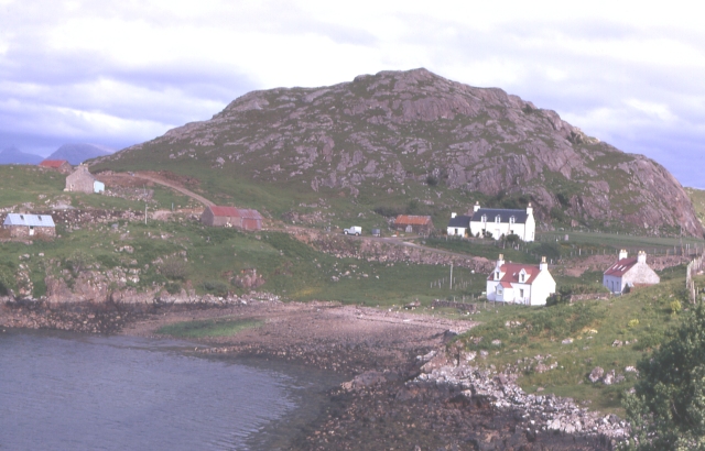
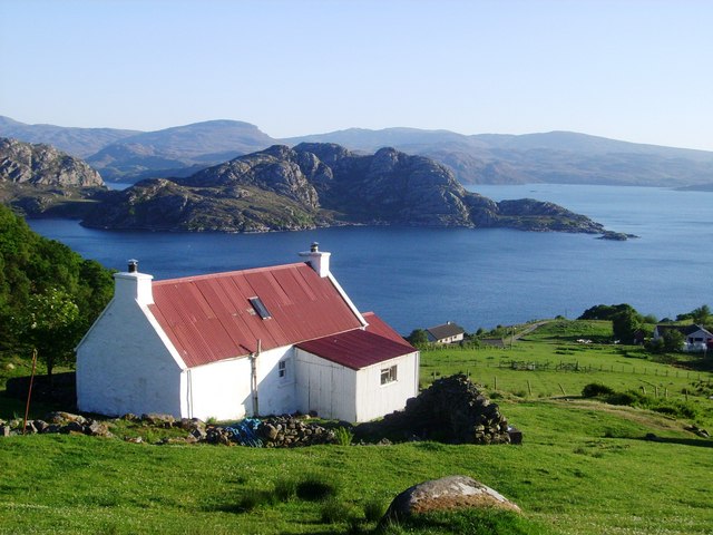
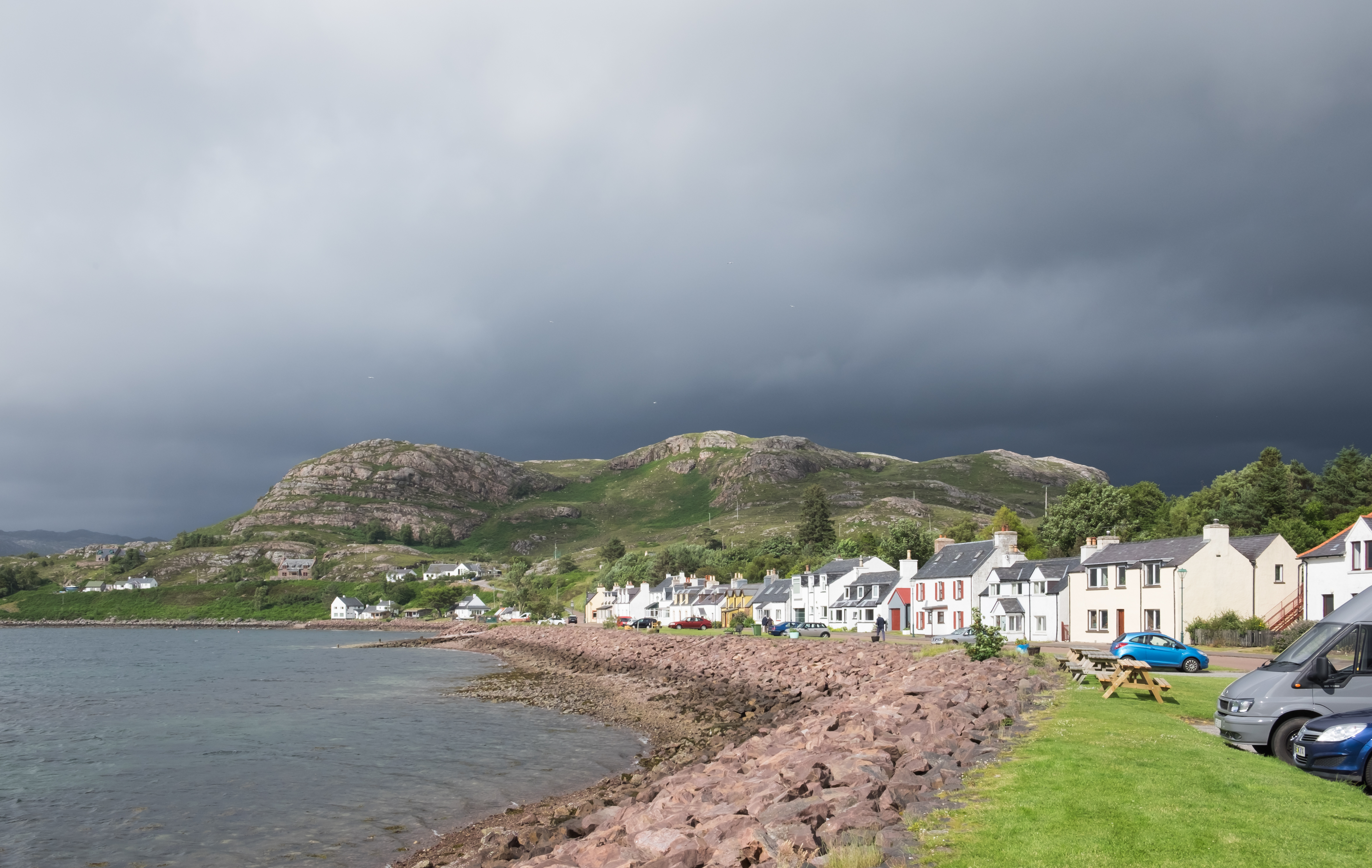
Sròn a' Cheanna-Mhuir, located in Ross-shire, Scotland, is a stunning island that offers breathtaking natural beauty and rich historical significance. Situated off the west coast of Scotland, this small island is surrounded by the azure waters of the Atlantic Ocean, creating a picturesque setting.
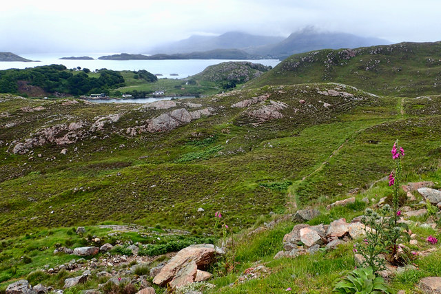
The island is known for its rugged and dramatic landscape, characterized by towering cliffs that overlook the crashing waves below. Its name, Sròn a' Cheanna-Mhuir, translates to "Nose of the Ocean Headland," which aptly describes its prominent position jutting out into the sea.
Visitors to Sròn a' Cheanna-Mhuir can expect to encounter an abundance of wildlife, including various species of seabirds, seals, and occasionally dolphins and whales. The island also boasts a diverse range of flora, with colorful wildflowers dotting the landscape during the summer months.
In addition to its natural beauty, Sròn a' Cheanna-Mhuir holds historical significance. The island is home to the ruins of an ancient castle, which once served as a defensive stronghold for the local clan chiefs. Exploring the castle ruins allows visitors to step back in time and imagine the lives of those who once inhabited this remote island.
Due to its remote location, Sròn a' Cheanna-Mhuir offers a tranquil and peaceful escape from the bustling mainland. Visitors can enjoy leisurely walks along the coastline, taking in the breathtaking scenery and immersing themselves in the island's natural wonders.
Overall, Sròn a' Cheanna-Mhuir is a hidden gem that offers a unique combination of natural beauty and historical intrigue. Its remote location and untouched landscape make it a must-visit destination for nature enthusiasts and history lovers alike.
If you have any feedback on the listing, please let us know in the comments section below.
Sròn a' Cheanna-Mhuir Images
Images are sourced within 2km of 57.55198/-5.7417429 or Grid Reference NG7657. Thanks to Geograph Open Source API. All images are credited.
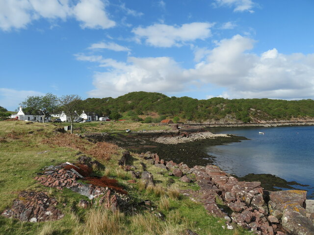
![Shed and boat, Kenmore Rusty 'tin' structures are common in the western Highlands and seem to add something to the scene, which here extends across the wooded headland to the distant slopes of Sgurr Mhor [left] and Tom na Gruagaich [right] which form the twin summits and Munros of Beinn Alligin.](https://s3.geograph.org.uk/geophotos/07/49/56/7495659_328ed684.jpg)


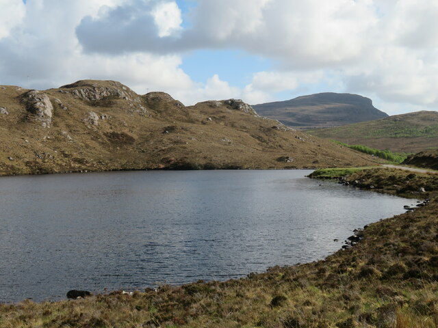

![View to Loch Beag Loch Beag ['small loch'] is the area of water nearest to the camera, beyond which is outer Loch Torridon and the wild coast beyond. Houses at Lower Diabaig are visible to the right, but the view doesn't stretch along the coast as far as the bothy at Craig.](https://s2.geograph.org.uk/geophotos/07/49/56/7495686_832b19e5.jpg)


Sròn a' Cheanna-Mhuir is located at Grid Ref: NG7657 (Lat: 57.55198, Lng: -5.7417429)
Unitary Authority: Highland
Police Authority: Highlands and Islands
What 3 Words
///venturing.applies.lasted. Near Gairloch, Highland
Nearby Locations
Related Wikis
Ardheslaig
Ardheslaig (Scottish Gaelic: Àird Heisleag) is a crofting settlement at the northern end of the Applecross peninsula in the Scottish Highlands. It is 3...

Loch Torridon
Loch Torridon (Scottish Gaelic: Loch Thoirbheartan) is a sea loch on the west coast of Scotland in the Northwest Highlands. The loch was created by glacial...
Diabaig
Diabaig (Scottish Gaelic: Dìobaig) is a remote coastal fishing and crofting township in Wester Ross, in the Northwest Highlands of Scotland. Diabaig lies...
Shieldaig
Shieldaig (Scottish Gaelic: Sìldeag; Old Norse: síld-vík, lit. 'herring bay') is a village in Wester Ross in the Northwest Highlands, in the Scottish council...
Nearby Amenities
Located within 500m of 57.55198,-5.7417429Have you been to Sròn a' Cheanna-Mhuir?
Leave your review of Sròn a' Cheanna-Mhuir below (or comments, questions and feedback).