Clach Fhraoch

Coastal Feature, Headland, Point in Ross-shire

Scotland

Clach Fhraoch

Loch Reag
Loch Reag Credit: Matthew Chadwick

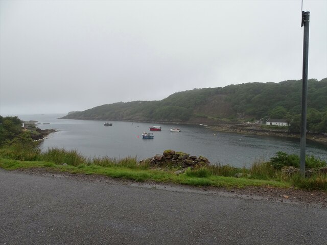
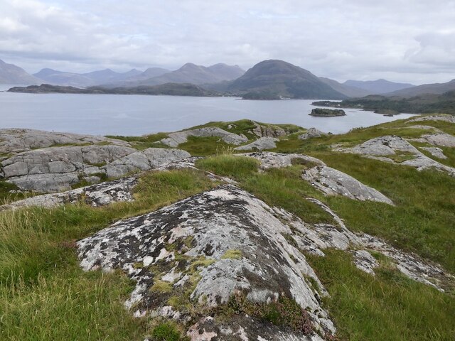
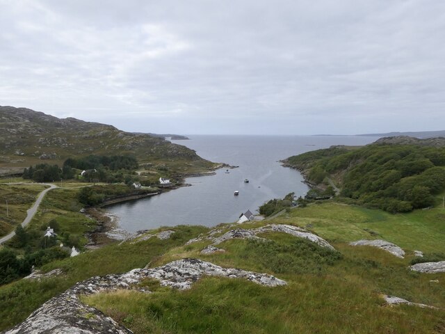
Clach Fhraoch, also known as the Fhraoch Rock, is a prominent coastal feature located in Ross-shire, Scotland. Situated on the northwestern coast of the Scottish Highlands, it is a headland or point that extends into the North Atlantic Ocean. Clach Fhraoch is geographically positioned at approximately 57.846°N latitude and 5.669°W longitude.

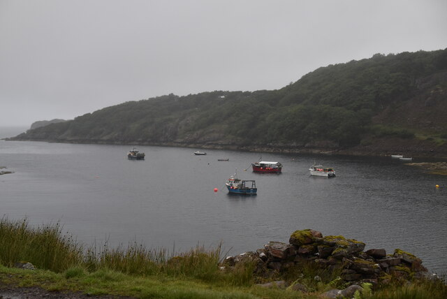
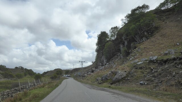
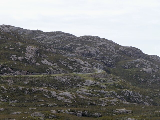
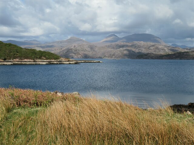
The rock itself is a striking feature, rising steeply from the surrounding coastline. Its unique geological formation consists of rugged, weathered cliffs, and it is composed mainly of metamorphic rocks, such as gneiss and schist. This rocky headland provides a picturesque backdrop to the coastal scenery, with its dramatic cliffs and crashing waves.

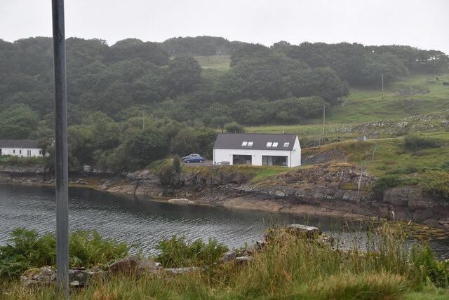
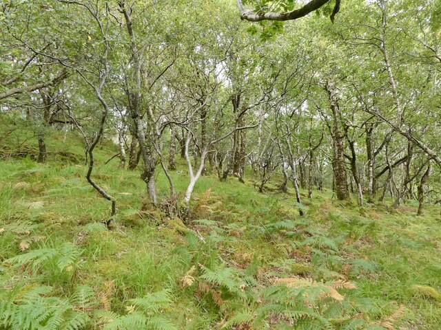
Clach Fhraoch is also noteworthy for its historical and cultural significance. It is believed to have served as a landmark or navigational aid for seafarers in the past, due to its prominent location and distinctive shape. The name "Clach Fhraoch" is derived from Scottish Gaelic and translates to "Heather Rock," reflecting the heather-covered landscape that surrounds it.

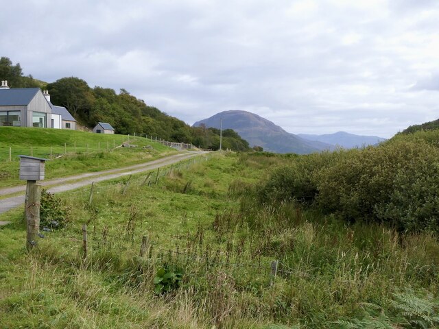
Visitors to Clach Fhraoch can experience breathtaking views of the surrounding coastline and the open sea. The headland is accessible by foot, and there are walking trails and paths that lead to the site. It is a popular spot for nature enthusiasts, hikers, and photographers, who come to admire the natural beauty and capture the rugged charm of this coastal feature.

Overall, Clach Fhraoch is a significant coastal landmark in Ross-shire, Scotland, known for its striking geological formation, historical importance, and scenic beauty.

If you have any feedback on the listing, please let us know in the comments section below.

Clach Fhraoch Images

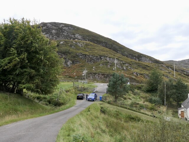
Images are sourced within 2km of 57.5466/-5.7300038 or Grid Reference NG7656. Thanks to Geograph Open Source API. All images are credited.
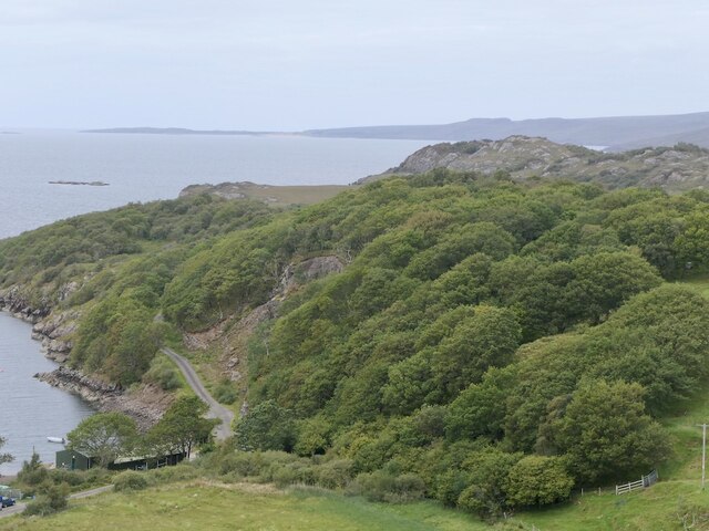
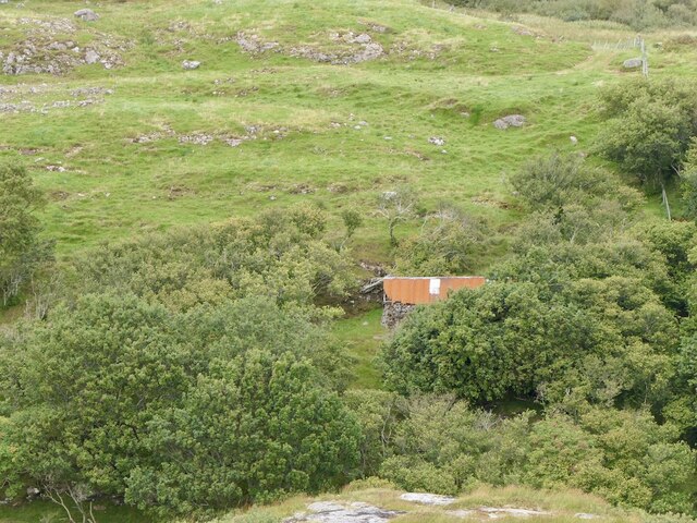
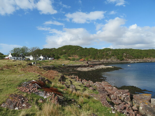
Loch Beag
Loch Beag
Loch Beag
Loch Beag
Applecross coast road The road connecting Applecross to Shieldaig was built in the late 1960s and early 1970s, partly to give access to the BUTEC military site at Sand, and partly to sustain the dwindling crofting communities scattered along the coast.  Prior to its construction, access was by sea or footpath only, and the postman had a 20-mile walk three times a week.

The western part is much straighter and smoother than the northern part which goes across the grain of the sandstone, and also through an area of rough igneous rock.

The section between Shieldaig junction and Kenmore was opened on 11 May 1970 by Princess Margaret, Countess of Snowdon.
Applecross coast road
The road connecting Applecross to Shieldaig was built in the late 1960s and early 1970s, partly to give access to the BUTEC military site at Sand, and partly to sustain the dwindling crofting communities scattered along the coast. Prior to its construction, access was by sea or footpath only, and the postman had a 20-mile walk three times a week. The western part is much straighter and smoother than the northern part which goes across the grain of the sandstone, and also through an area of rough igneous rock. The section between Shieldaig junction and Kenmore was opened on 11 May 1970 by Princess Margaret, Countess of Snowdon.
North Applecross coast road near Ardheslaig
Tin roof Ardheslaig Galvanising, when the zinc metal runs out.
Tin roof Ardheslaig
Galvanising, when the zinc metal runs out.
Ardheslaig
Ardheslaig
Oak wood, Ardheslaig
Road into Ardheslaig
Derelict house, Ardheslaig
Summit, Meall an Doire Dhuibh A fine gneiss peak, although just 68m above sea level. There is a very good view for little effort. The land is grazed by cattle.
Summit, Meall an Doire Dhuibh
A fine gneiss peak, although just 68m above sea level. There is a very good view for little effort. The land is grazed by cattle.
Loch Beag, Ardheslaig
The "new" road to Applecross Built in the 1970s as an alternative to the Bealach na Bà.
The "new" road to Applecross
Built in the 1970s as an alternative to the Bealach na Bà.
Oak woods, Ardheslaig There has been work to expand the woodlands over the Aird peninsula.
Oak woods, Ardheslaig
There has been work to expand the woodlands over the Aird peninsula.
Tin roof, Ardheslaig An old building which would have been previously thatched.
Tin roof, Ardheslaig
An old building which would have been previously thatched.
Loch a' Chracaich The loch is an inlet off the much larger Loch Torridon. The more distant view ranges from the crinkly ridge of Baosbheinn on the far left, the small dome of An Ruadh-mheallan left of centre and the twin tops of Beinn Alligin, a double Munro in the centre-right.
Loch a' Chracaich
The loch is an inlet off the much larger Loch Torridon. The more distant view ranges from the crinkly ridge of Baosbheinn on the far left, the small dome of An Ruadh-mheallan left of centre and the twin tops of Beinn Alligin, a double Munro in the centre-right.
Shoreline and houses at Kenmore Pre 1976, Kenmore was the furthest one could travel by car from Shieldaig along the north coast of the Applecross peninsula, but the opening of the new road changed all that and also helped to save small communities along the coast. My OS 1:25000 map of 2002 vintage doesn't even show the tarmacked road leading down to the village and bay. perhaps the OS didn't want anyone going there!
Shoreline and houses at Kenmore
Pre 1976, Kenmore was the furthest one could travel by car from Shieldaig along the north coast of the Applecross peninsula, but the opening of the new road changed all that and also helped to save small communities along the coast. My OS 1:25000 map of 2002 vintage doesn't even show the tarmacked road leading down to the village and bay. perhaps the OS didn't want anyone going there!
Shed and boat, Kenmore Rusty 'tin' structures are common in the western Highlands and seem to add something to the scene, which here extends across the wooded headland to the distant slopes of  Sgurr Mhor [left] and Tom na Gruagaich [right] which form the twin summits and Munros of Beinn Alligin.
Shed and boat, Kenmore
Rusty 'tin' structures are common in the western Highlands and seem to add something to the scene, which here extends across the wooded headland to the distant slopes of Sgurr Mhor [left] and Tom na Gruagaich [right] which form the twin summits and Munros of Beinn Alligin.
Show me another place!

Clach Fhraoch is located at Grid Ref: NG7656 (Lat: 57.5466, Lng: -5.7300038)

Unitary Authority: Highland

Police Authority: Highlands and Islands

What 3 Words

///trips.veal.offerings. Near Gairloch, Highland

Nearby Locations

Clach Fhraoch A' Bhainlir

Related Wikis

Ardheslaig

Ardheslaig (Scottish Gaelic: Àird Heisleag) is a crofting settlement at the northern end of the Applecross peninsula in the Scottish Highlands. It is 3...

Loch Torridon

Loch Torridon (Scottish Gaelic: Loch Thoirbheartan) is a sea loch on the west coast of Scotland in the Northwest Highlands. The loch was created by glacial...

Diabaig

Diabaig (Scottish Gaelic: Dìobaig) is a remote coastal fishing and crofting township in Wester Ross, in the Northwest Highlands of Scotland. Diabaig lies...

Shieldaig

Shieldaig (Scottish Gaelic: Sìldeag; Old Norse: síld-vík, lit. 'herring bay') is a village in Wester Ross in the Northwest Highlands, in the Scottish council...

Nearby Amenities

Located within 500m of 57.5466,-5.7300038
A' Bhaintir
Ele: 174
Natural: peak
Lat/Long: 57.5421515/-5.7311094
The data included in this document is from www.openstreetmap.org. The data is made available under ODbL.

Have you been to Clach Fhraoch?

Leave your review of Clach Fhraoch below (or comments, questions and feedback).