Johnston's Point

Coastal Feature, Headland, Point in Argyllshire

Scotland

Johnston's Point

Debris on the shore below Feochaig, Argyll Looking towards hills on the Isle of Arran.
Debris on the shore below Feochaig, Argyll Credit: Claire Pegrum

The requested URL returned error: 429 Too Many Requests

If you have any feedback on the listing, please let us know in the comments section below.

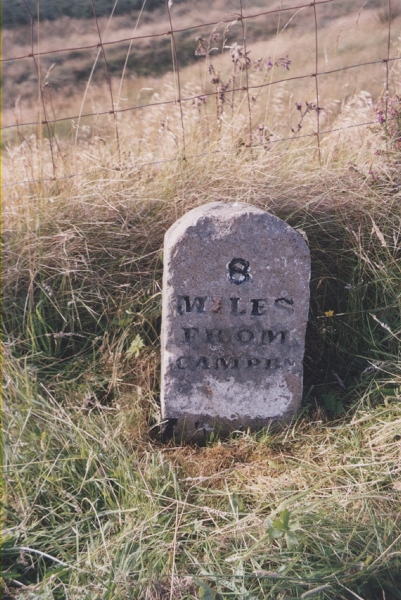
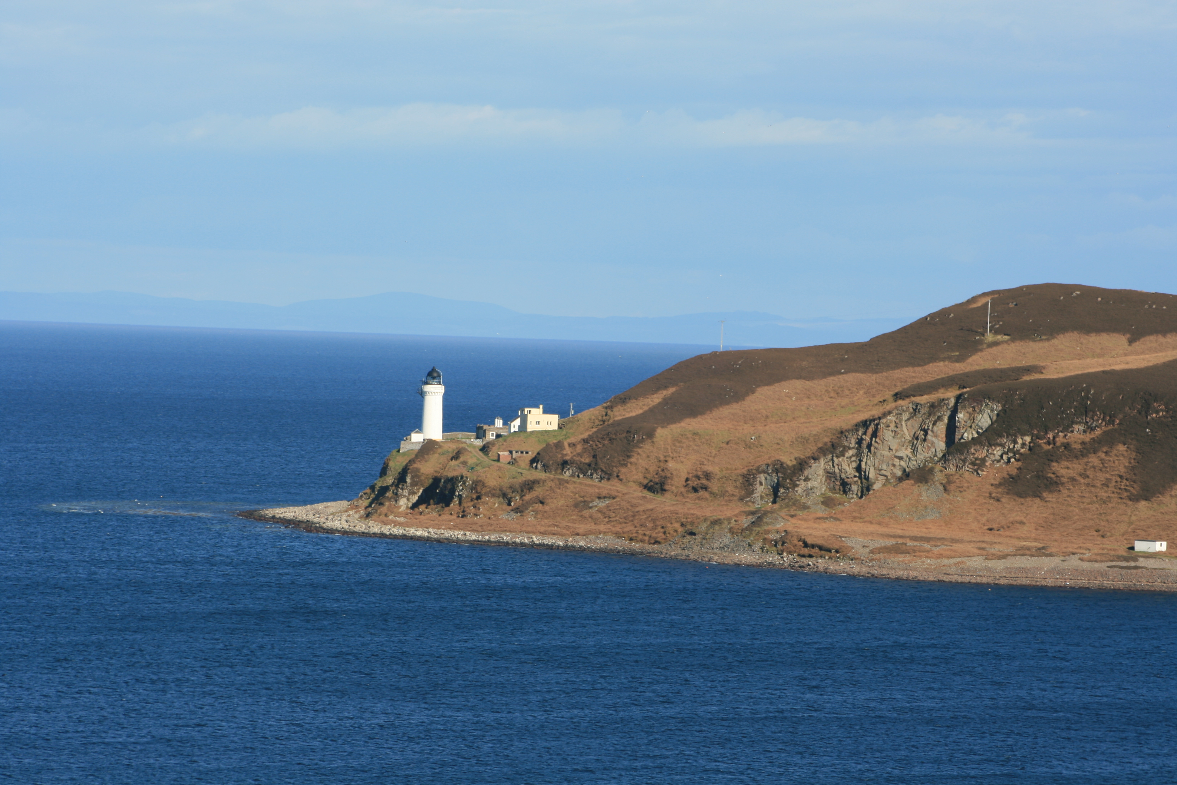
Johnston's Point Images

Images are sourced within 2km of 55.359428/-5.521236 or Grid Reference NR7612. Thanks to Geograph Open Source API. All images are credited.

Debris on the shore below Feochaig, Argyll Looking towards hills on the Isle of Arran.
Debris on the shore below Feochaig, Argyll
Looking towards hills on the Isle of Arran.
Volcanic rock on the shore below Feochaig, Argyll Looking towards hills on the Isle of Arran.
Volcanic rock on the shore below Feochaig, Argyll
Looking towards hills on the Isle of Arran.
Abandoned tractor, Johnston's Point, Argyll Ailsa Craig can be on the horizon to the right.
Abandoned tractor, Johnston's Point, Argyll
Ailsa Craig can be on the horizon to the right.
Track, Johnston's Point, Argyll The track runs between Feochaig and the shore and is shown on the 1st edition OS map which was surveyed in 1866.
Track, Johnston's Point, Argyll
The track runs between Feochaig and the shore and is shown on the 1st edition OS map which was surveyed in 1866.
Summit area of The Bastard, South Kintyre Looking SSW towards Sanda Island and the distant hills of North Antrim.

As others have commented on the Hill-bagging site, there are many hills more worthy of the name than this one!
Summit area of The Bastard, South Kintyre
Looking SSW towards Sanda Island and the distant hills of North Antrim. As others have commented on the Hill-bagging site, there are many hills more worthy of the name than this one!
Old milestone On the verge near Shenachie, this milestone has been painted recently.   It has a cut benchmark on the top right.  The road round the southeast corner of Kintyre is part of the Kintyre Way and passes this milestone.
Old milestone
On the verge near Shenachie, this milestone has been painted recently. It has a cut benchmark on the top right. The road round the southeast corner of Kintyre is part of the Kintyre Way and passes this milestone.
Johnston's Point a spur on the coast of the Mull of Kintyre below the hamlet of Feochaig
Johnston's Point Feochaig A nice scramble on the rocks to get to this point
Johnston's Point Feochaig
A nice scramble on the rocks to get to this point
Farm track from Feochaig to a field at Johnston's Point
Farm track at Feochaig
The Bastard An appropriate name for a Kintyre Hill as Kintyre has a certain reputation for rough hills. However this one looks quite friendly.
The Bastard
An appropriate name for a Kintyre Hill as Kintyre has a certain reputation for rough hills. However this one looks quite friendly.
View towards Arran from South Kintyre Looking north-east across Kilbrannan Sound towards Arran.
View towards Arran from South Kintyre
Looking north-east across Kilbrannan Sound towards Arran.
Kintyre Way towards Campbeltown
Old Milestone by the Kintyre Way, east of Shenachie, Southend Parish By the UC road, in parish of Southend (Kintyre District), Shenachie, on verge by wire fence.

Inscription reads:-
8
MILES
FROM
CAMPBN

Surveyed

Milestone Society National ID: AB_CTSEUCE08
Old Milestone by the Kintyre Way, east of Shenachie, Southend Parish
By the UC road, in parish of Southend (Kintyre District), Shenachie, on verge by wire fence. Inscription reads:- 8 MILES FROM CAMPBN Surveyed Milestone Society National ID: AB_CTSEUCE08
Old Milestone by Eriskay, Feochaig, Kintyre Stone post by the UC road, in parish of Southend (Kintyre District), Feochaig, on verge in bracken.

Damaged inscription reads:-
(FROM) 
(CAMPBN)
7
MILES

Surveyed

Milestone Society National ID: AB_CTSEUCE07
Old Milestone by Eriskay, Feochaig, Kintyre
Stone post by the UC road, in parish of Southend (Kintyre District), Feochaig, on verge in bracken. Damaged inscription reads:- (FROM) (CAMPBN) 7 MILES Surveyed Milestone Society National ID: AB_CTSEUCE07
Fence-lined coastal road between Feochaig and Achihoan Looking north-eastward.
Fence-lined coastal road between Feochaig and Achihoan
Looking north-eastward.
Coastal road heading towards Feochaig Looking north-westward.
Coastal road heading towards Feochaig
Looking north-westward.
Road heading in the direction of Feochaig Looking north-eastward.
Road heading in the direction of Feochaig
Looking north-eastward.
Show me another place!

Johnston's Point is located at Grid Ref: NR7612 (Lat: 55.359428, Lng: -5.521236)

Unitary Authority: Argyll and Bute

Police Authority: Argyll and West Dunbartonshire

What 3 Words

///wool.email.intersect. Near Campbeltown, Argyll & Bute

Related Wikis

Achinhoan

Achinhoan is a settlement on the Kintyre peninsula in Argyll and Bute, Scotland. It consists of a handful of buildings, half a mile (one km) west of Achinhoan...

Macharioch Motte

Macharioch Motte is the remains of a motte-and-bailey castle situated in a field near the farm of Macharioch in Kintyre, Argyll and Bute, Scotland. �...

Island Davaar

Island Davaar or Davaar Island (Scottish Gaelic: Eilean Dà Bhàrr) is located at the mouth of Campbeltown Loch off the east coast of Kintyre, in Argyll...
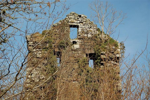
Kilkerran Castle

Kilkerran Castle is a ruined castle, near Campbeltown, Kintyre, Argyll and Bute, Scotland. == History == A keep was built in 1490 by King James IV, for...

Nearby Amenities

Located within 500m of 55.359428,-5.521236
The data included in this document is from www.openstreetmap.org. The data is made available under ODbL.

Have you been to Johnston's Point?

Leave your review of Johnston's Point below (or comments, questions and feedback).